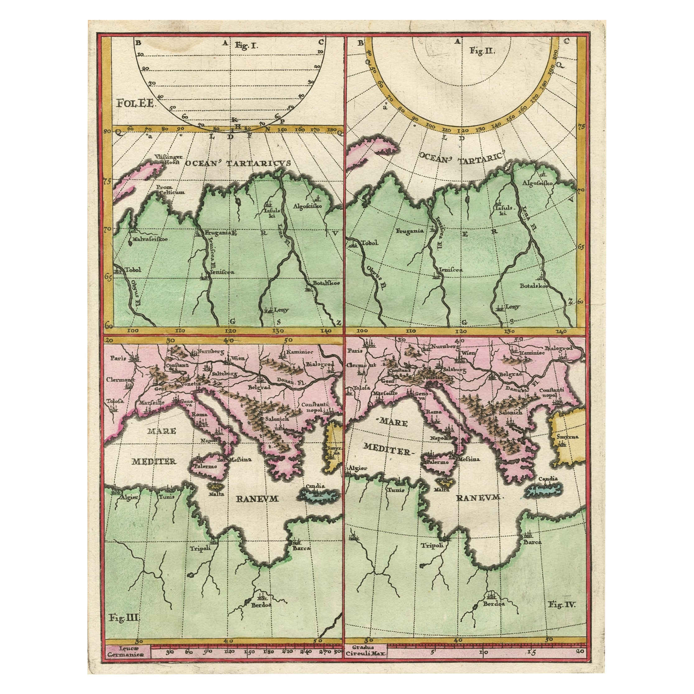
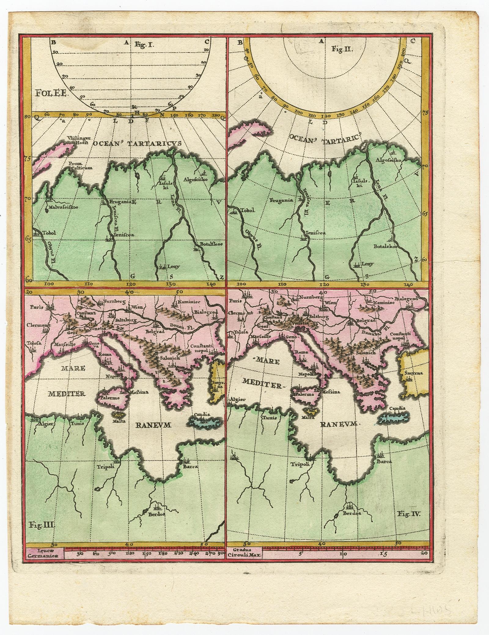
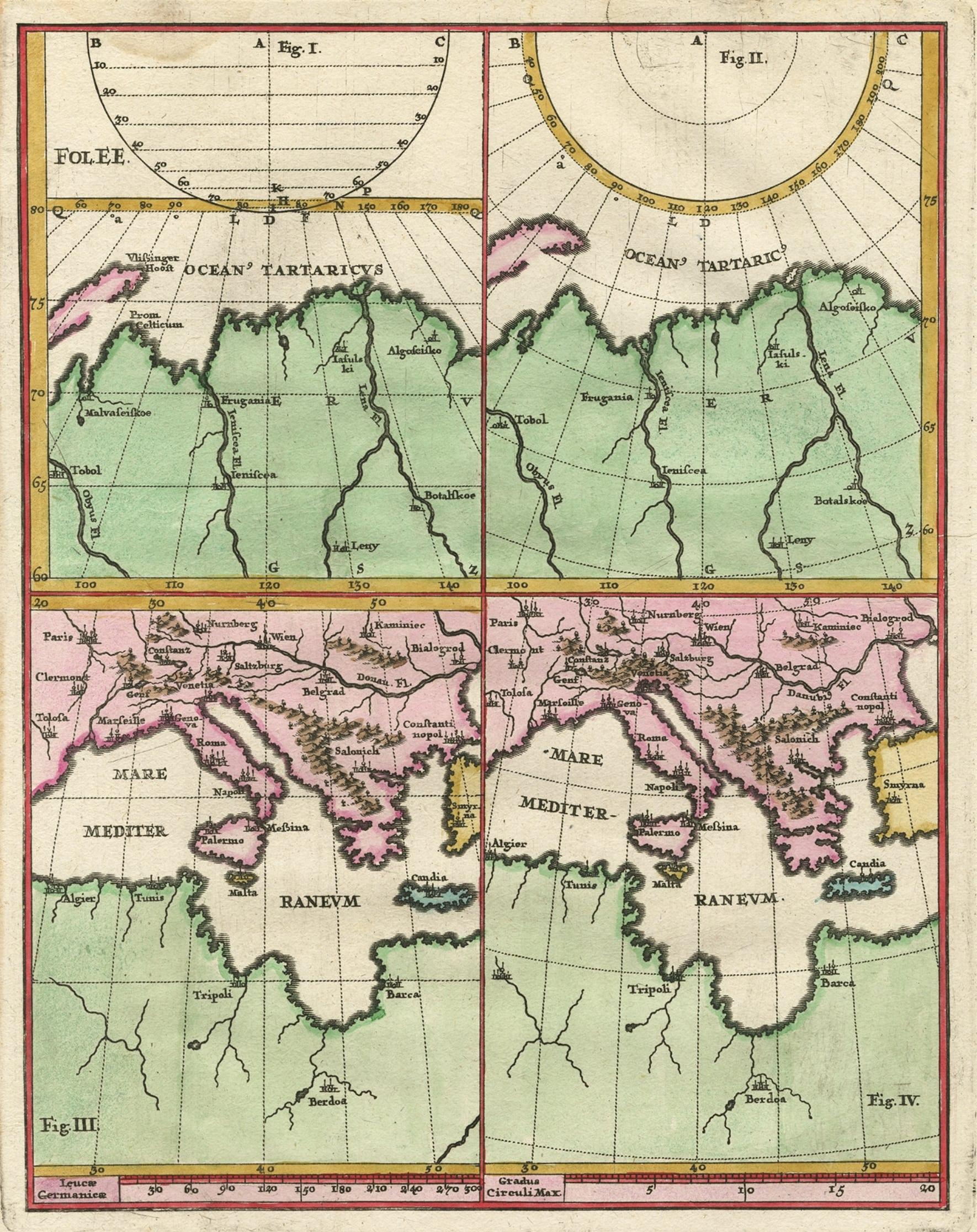
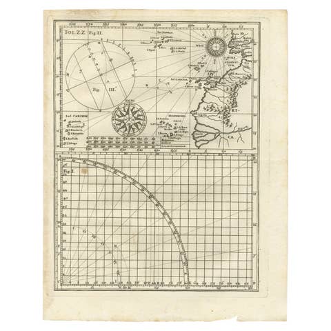
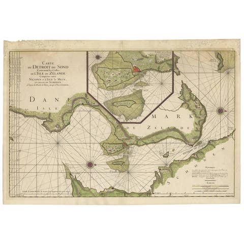
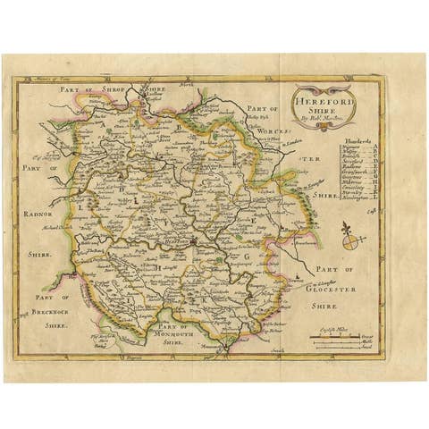
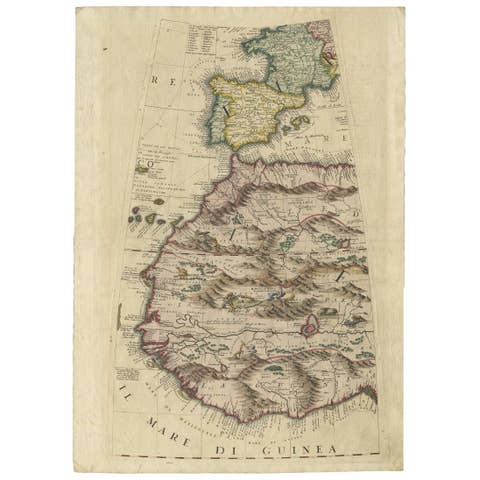
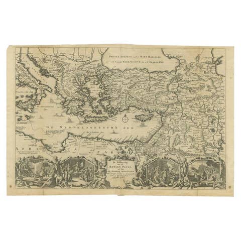
Curious Map of the Laptev Sea 'Arctic Ocean' and the Mediterranean, ca.1700
€ 470
Original antique · The actual sheet photographed · Certificate of authenticity on request · Sold unframed · Worldwide shipping from € 15 (rates)
Date
1700
Sheet size
27 × 21.1 cm (10.6 × 8.3 in)
Condition
Good
Reference
PCT-61591
Condition
Given age. Light damp stain top left, extending 1 cm into image. Irregular edges with an occasional tiny tear. General age-related toning and/or occasional minor defects from handling. Please study scan carefully.
About this sheet
Antique map, untitled.
Map of the Laptev Sea (Arctic Ocean) and the Mediterranean, printed for Scherer's 'Atlas Novus' (1702-1710). Scherer's 'Atlas Novus' forms an important milestone in the development of scientific and thematic cartography, providing a remarkable and revolutionary alternative vision of the World in showing only its major physical and topographical features. From: 'Atlas Novus'.
Artists and Engravers: Made by 'Heinrich Scherer' after an anonymous artist. Heinrich Scherer (1628-1704) was a Professor of Hebrew, Mathematics and Ethics at the University of Dillingen until about 1680. Thereafter he obtained important positions as Official Tutor to the Royal Princes of Mantua and Bavaria. It was during his time in Munich as Tutor to the Princely house of Bavaria that his lifetime’s work as a cartographer received acclaim and recognition. Scherer’s world atlas, the Atlas Novus, first published in Munich between 1702 and 1710 and reissued in a second edition between 1730 and 1737, forms a singularly unusual, almost revolutionary work in terms of the development of European mapmaking at the beginning of the 18th Century.
Condition: Good, given age. Light damp stain top left, extending 1 cm into image. Irregular edges with an occasional tiny tear. General age-related toning and/or occasional minor defects from handling. Please study scan carefully.