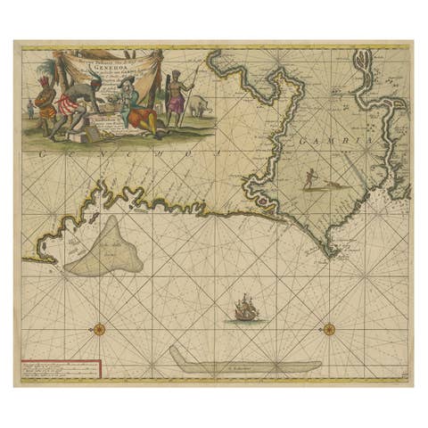
Original Antique Sea Chart of the Coastline from England to Gibraltar, ca.1700
€ 950
Original antique · The actual sheet photographed · Certificate of authenticity on request · Sold unframed · Worldwide shipping from € 15 (rates)
Date
1700
Sheet size
46.9 × 59.8 cm (18.5 × 23.5 in)
Condition
Good
Reference
PCT-56796
Condition
Repaired: Both margins extended with contemporary paper (backed with acid-free archival tape on the rear) for framing purposes. Wear consistent with age and use. Original middle fold, as issued. Left and right margins cropped close to the image area (right with very slight loss of image). Both margins extended with contemporary paper (backed with acid-free archival tape on the rear) for framing purposes.
About this sheet
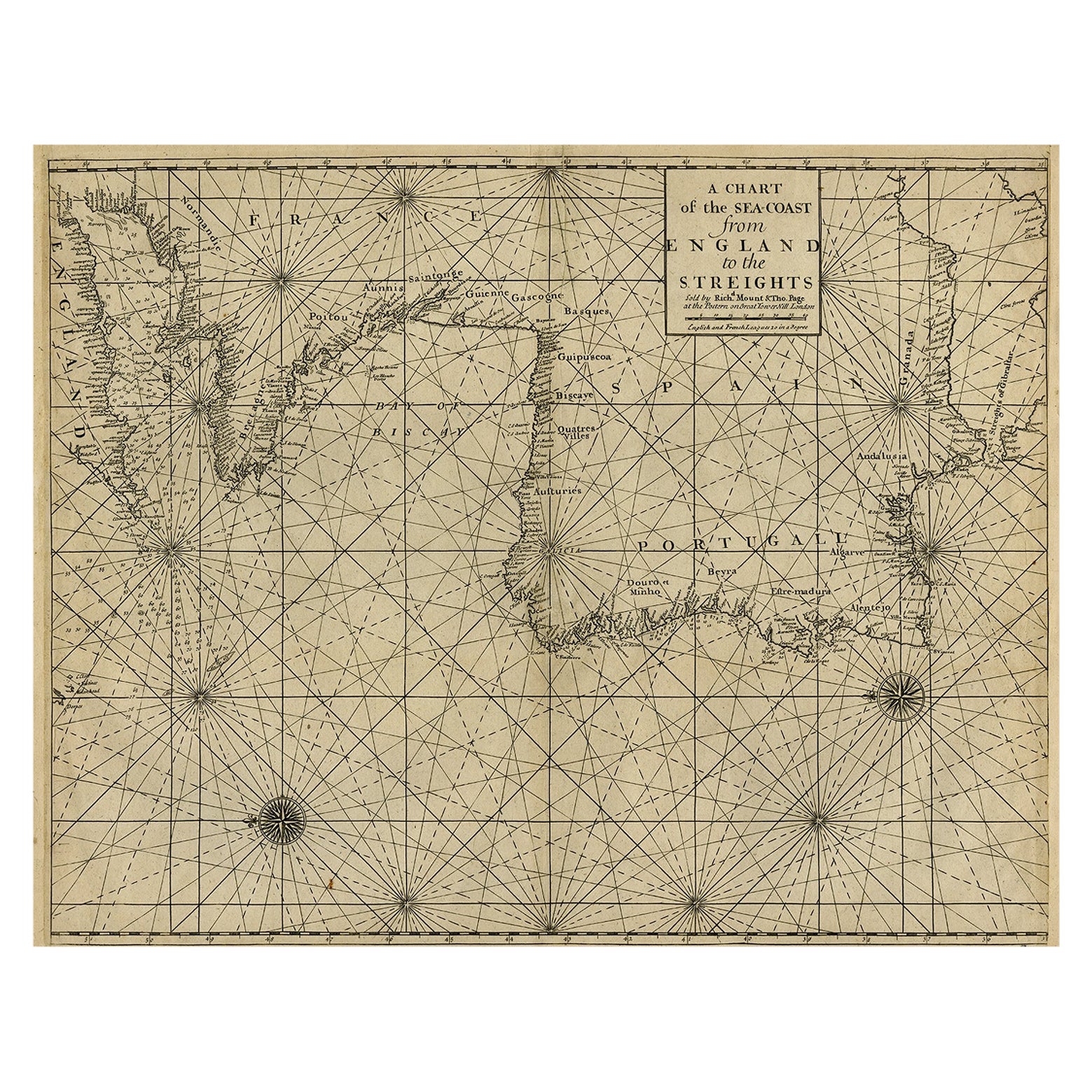
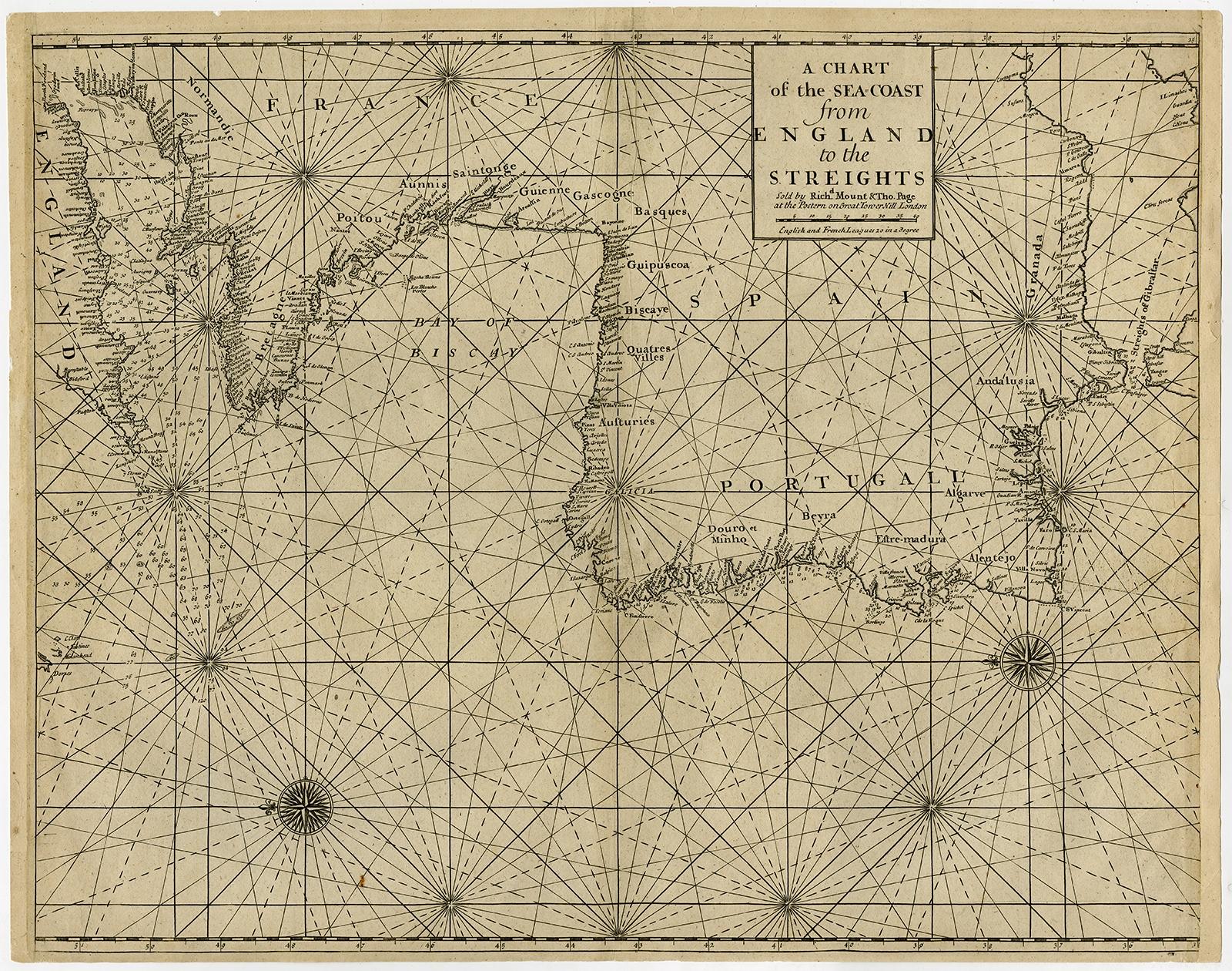
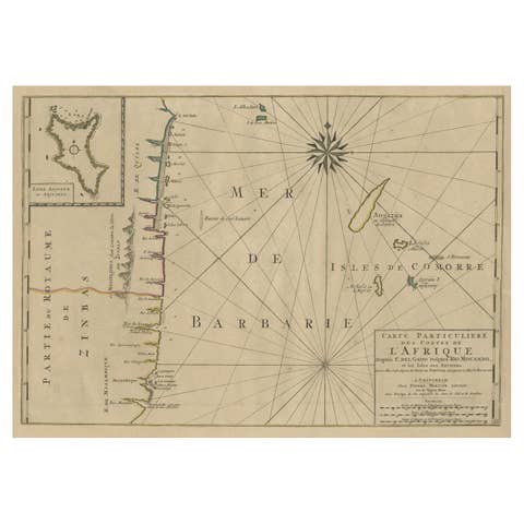
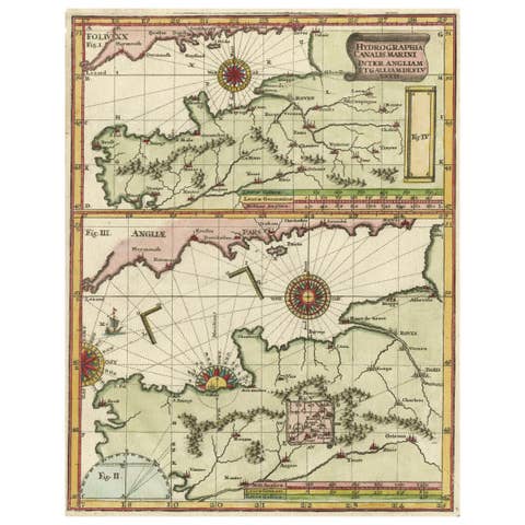
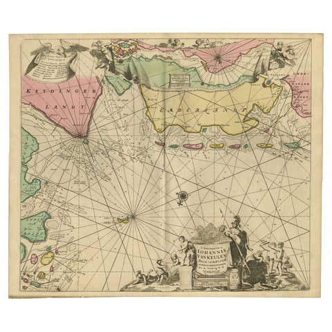
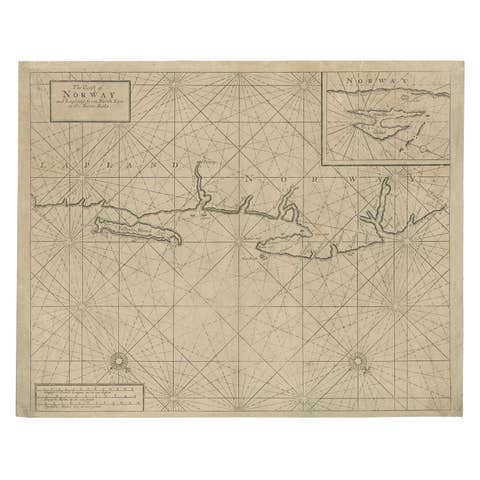
Antique map titled 'A Chart of the Sea-Coast from England to the Streights.'
Original antique map showing the European coastline from the South of England (and North of France) to the Strait of Gibraltar and the northern coast of Africa. Soundings are indicated in the Channel, Strait and along the Spanish and Portugese coasts. Rocks, islands, etc. are also indicated.
Artists and Engravers: Published by Mount & Page, London.
Condition: Good, given age. Original middle fold, as issued. Left and right margins cropped close to the image area (right with very slight loss of image). Both margins extended with contemporary paper (backed with acid-free archival tape on the rear) for framing purposes. A crease beside the middle fold, from the top into the image. A few small tears in the margin edges. A small closed tear in the right edge of the image, just above the punched library stamp (Brooklyn Public Library; backed with contemporary paper). General age-related toning and/or occasional minor defects from handling. Please study image carefully.