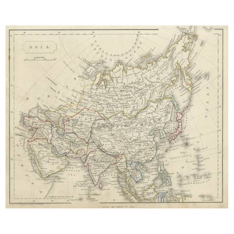
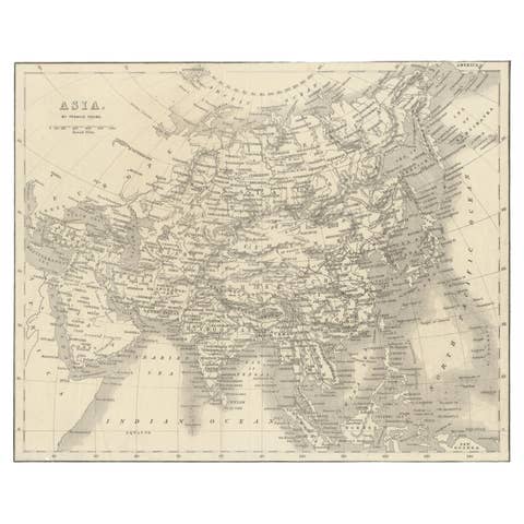
About this sheet
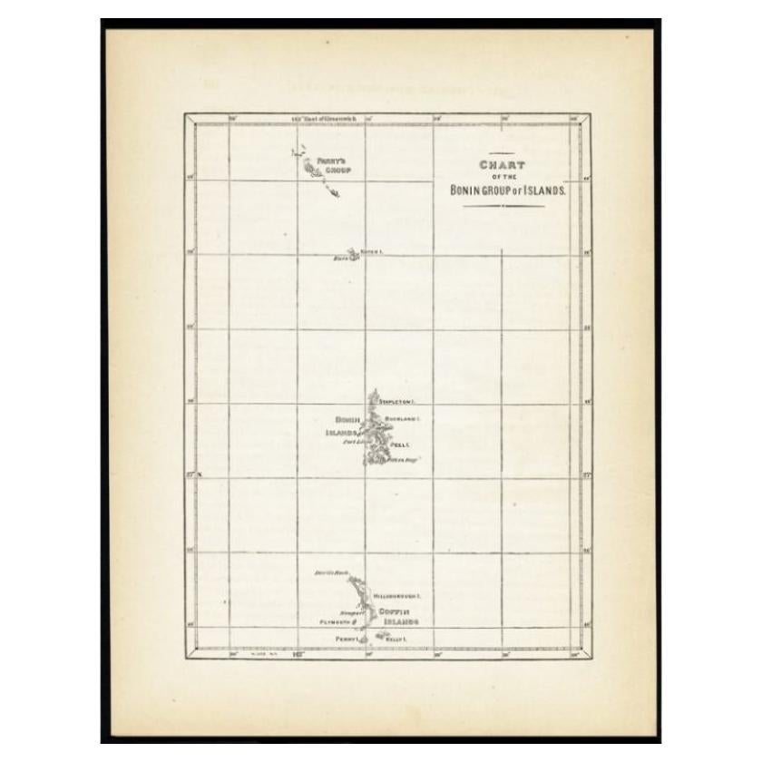
Antique map titled 'Chart of the Bonin Group of Islands.' The Bonin Islands, known in Japan as the Ogasawara Group are an archipelago of over 30 subtropical and tropical islands, some 1,000 kilometres directly south of Tokyo, Japan. This print originates from 'Narrative of the expedition of an American squadron to the China seas and Japan, performed in the years 1852, 1853, and 1854, under the command of Commodore M.C. Perry (..)' by Francis L. Hawks. Artists and Engravers: Lithographs after W. Heine and E. Brown.
Artist: Lithographs after W. Heine and E. Brown.
Condition: Excellent given age. General age related toning and occasional light foxing. Please study image carefully.
Date: 1856
Overall size: 21.5 x 28 cm.
Image size: 0.001 x 16 x 22 cm.
Antique prints have long been appreciated for both their aesthetic and investment value. They were the product of engraved, etched or lithographed plates. These plates were handmade out of wood or metal, which required an incredible level of skill, patience and craftsmanship. Whether you have a house with Victorian furniture or more contemporary decor an old engraving can enhance your living space. We offer a wide range of authentic antique prints for any budget.