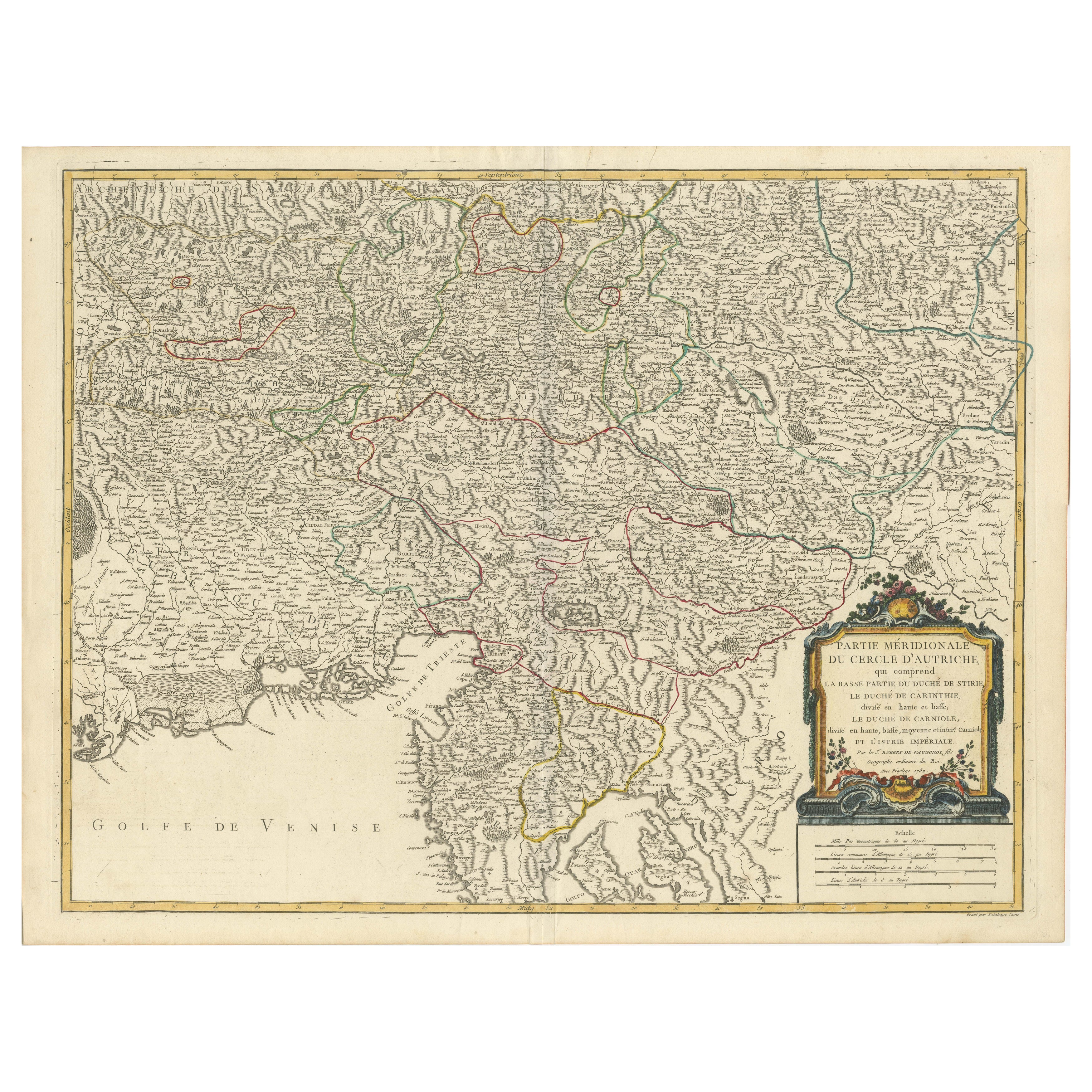
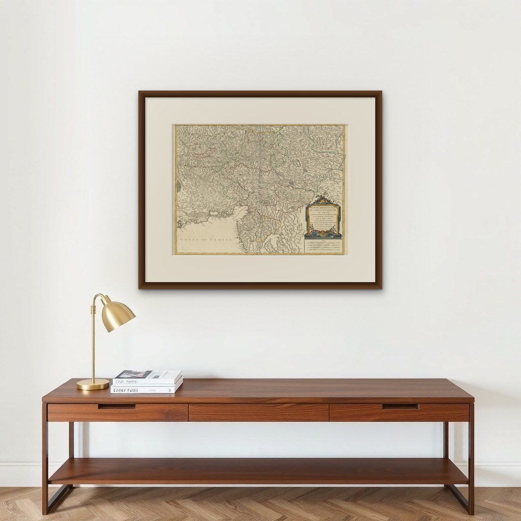
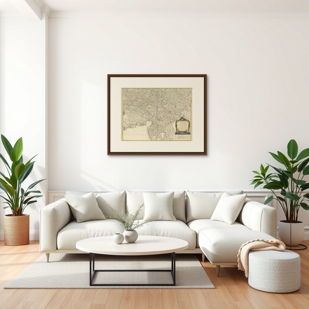
Original 18th-Century Map of Southern Austria, Carinthia, Carniola, and Styria
US$883
Original antique · The actual sheet photographed · Certificate of authenticity on request · Sold unframed · Worldwide shipping from € 15 (rates)
Sheet size
51 × 66 cm (20.1 × 26.0 in)
Reference
BG-13664-1
What the condition grades mean
Excellent
Bright and clean, with no faults worth mentioning.
Very good
Only light signs of age, such as faint toning.
Good
Normal signs of age for a sheet of this period: toning, some foxing, small marks or neat old repairs.
Fair
Clear faults such as staining, tears or repairs, priced to match.
Every fault we see is written in the condition note, and the whole sheet is shown uncropped in the photos.
Condition
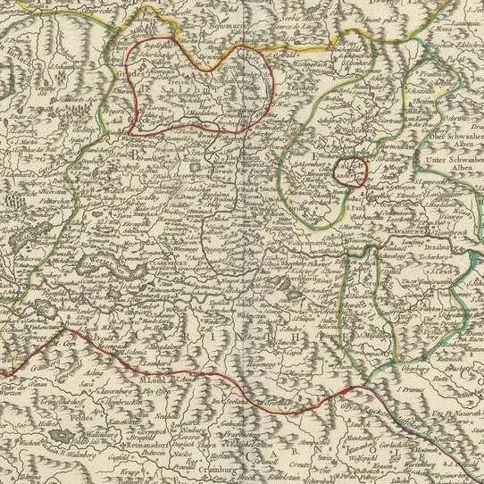
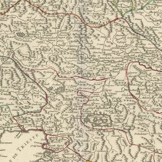
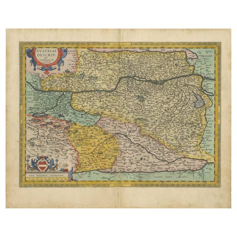
The map is in good condition, with minor signs of aging, slight discoloration in margins, and minimal foxing. The engraving remains sharp, with well-preserved hand-coloring delineating borders.
About this sheet
This finely engraved 18th-century map by Gilles Robert de Vaugondy showcases the southern part of the Austrian Circle, encompassing regions of modern-day Austria and Slovenia, including Styria (Steiermark), Carinthia (Kärnten), Carniola (Krain), and parts of the Istrian Peninsula. The map details topographical features, rivers, cities, and political divisions with hand-colored borders.
The Gulf of Venice (Golfe de Venise) is prominently featured to the southwest, highlighting coastal settlements. This map reflects the territorial organization under the Habsburg Monarchy during the late Holy Roman Empire, a period of significant military conflicts, including the Ottoman Wars, and economic shifts as trade routes evolved. The cartouche, elegantly decorated with floral motifs and imperial symbols, underscores the importance of these lands within the greater Austro-Hungarian sphere.
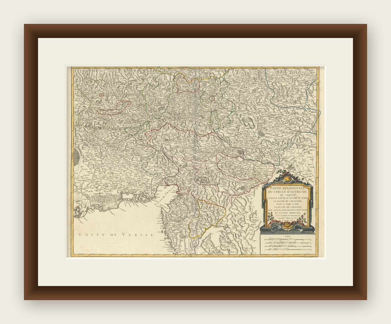
Framing tips: To preserve this historical piece, consider using archival-quality materials, including acid-free matting and UV-resistant glass to prevent fading. A classic gold or dark wood frame complements the map’s period aesthetic, while a wider mat border can emphasize its details. If displaying in a well-lit space, opt for museum-grade non-reflective glass to enhance clarity.