About this sheet
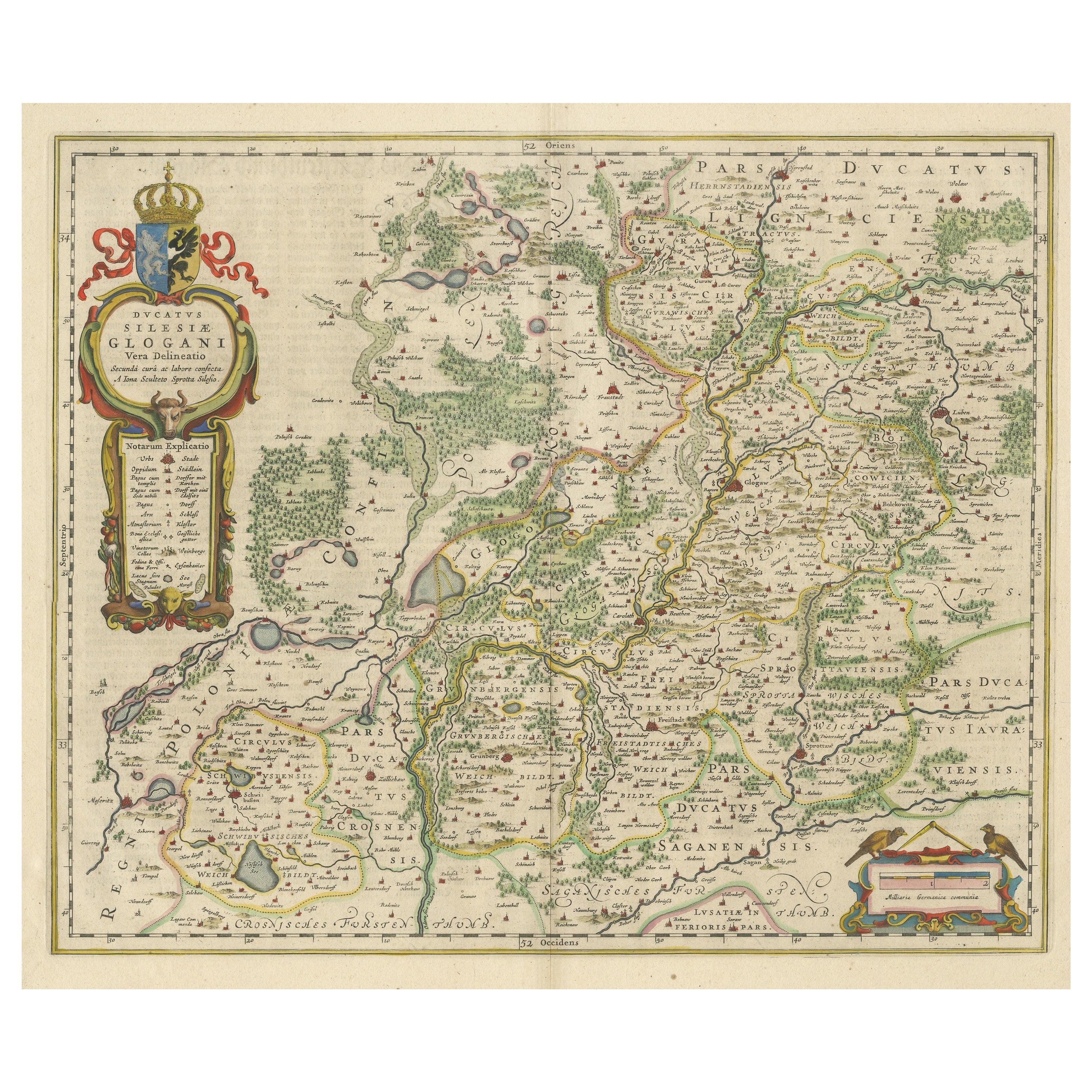
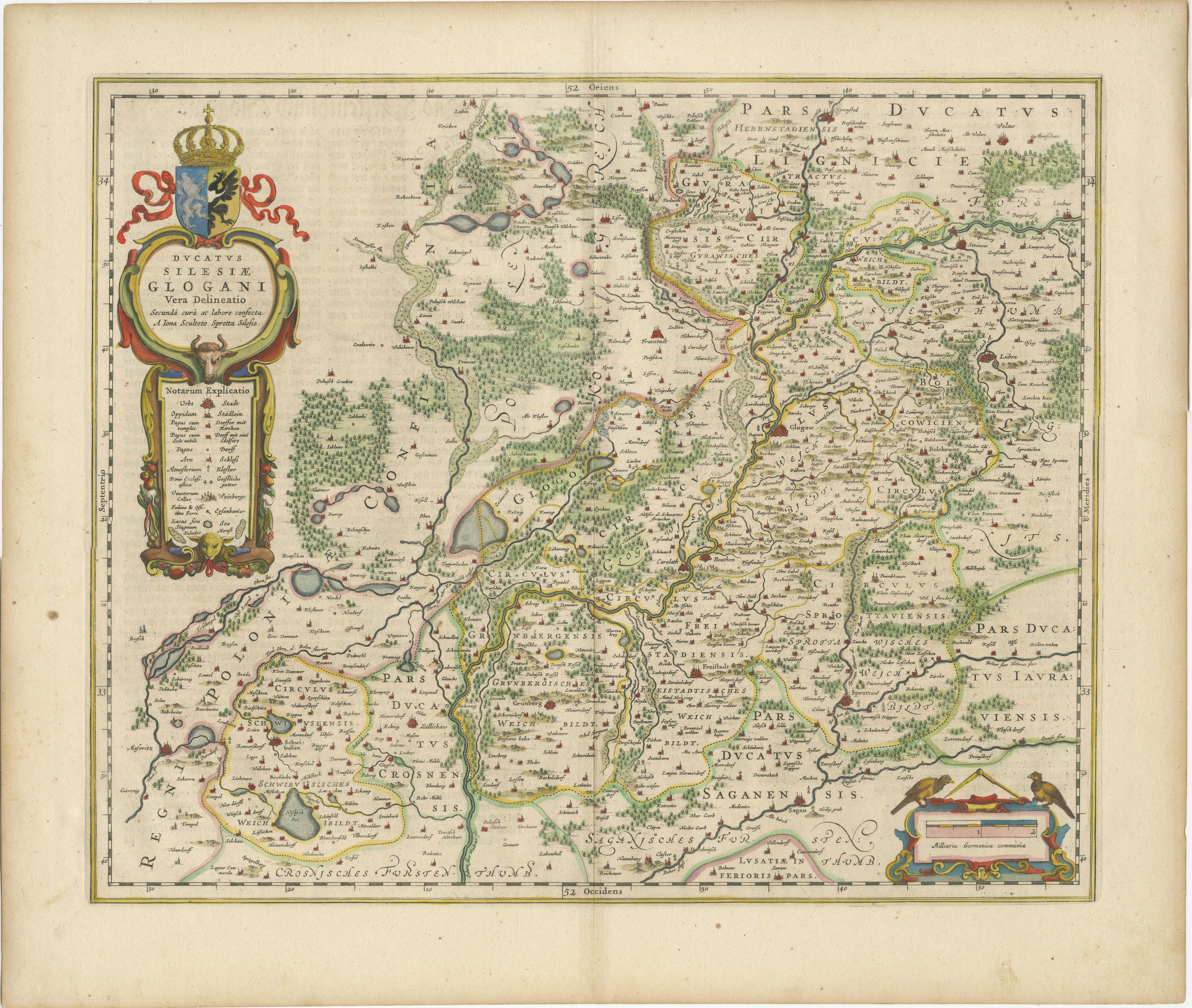
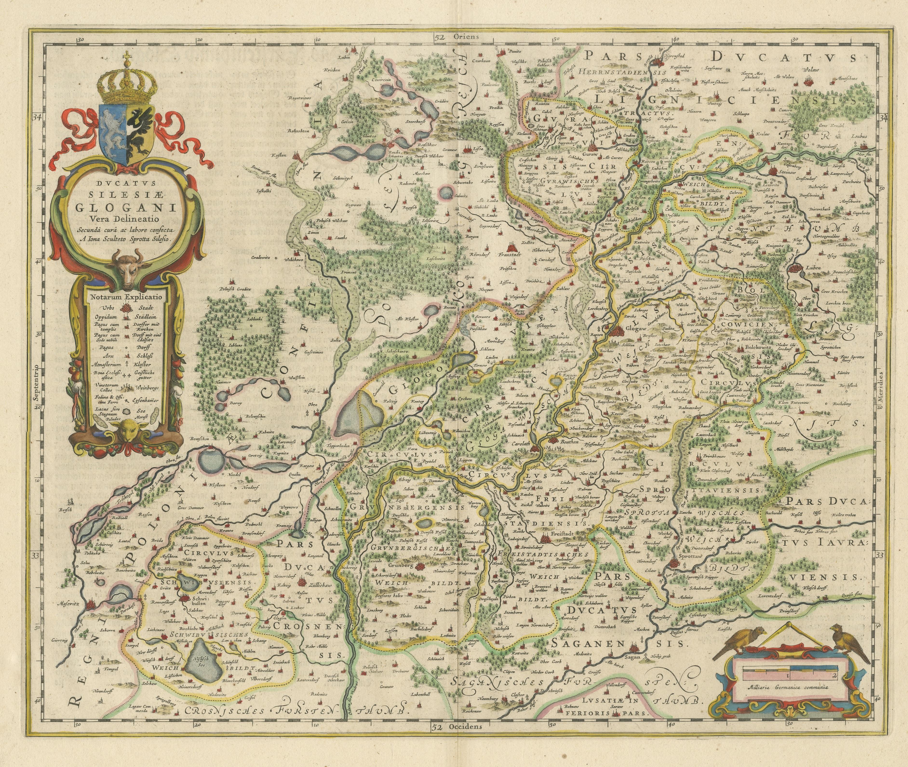
Antique map titled 'Ducatus Silesiae Glogani vera delineatio'. This decorative map shows the Odra River valley based on the Silesian cartographer, Jonas Scultetus. The map is oriented with north to the left and is roughly centered on the city of Glogau (Głogów), Poland (Silesia). It is fully engraved with forests, rivers, lakes and tiny villages. The large decorative title cartouche incorporates the especially ornate coat of arms and a key to the symbols used in the map. At bottom right is a fine scale of miles cartouche, topped with calipers and a pair of falcons. Cartographer: W.J. Blaeu. Published circa 1650.
Willem Janszoon Blaeu (1571-1638) was a prominent Dutch geographer and publisher. Born the son of a herring merchant, Blaeu chose not fish but mathematics and astronomy for his focus. He studied with the famous Danish astronomer Tycho Brahe, with whom he honed his instrument and globe making skills. Blaeu set up shop in Amsterdam, where he sold instruments and globes, published maps, and edited the works of intellectuals like Descartes and Hugo Grotius. In 1635, he released his atlas, Theatrum Orbis Terrarum, sive, Atlas novus.