18th-Century Map of the Swiss Confederation by Robert de Vaugondy
€ 799
One of a kind: this is the sheet in the photographs. Ships from Langweer, the Netherlands.
Sheet size
51 × 65 cm (20.1 × 25.6 in)
Reference
BG-13668-1
Condition
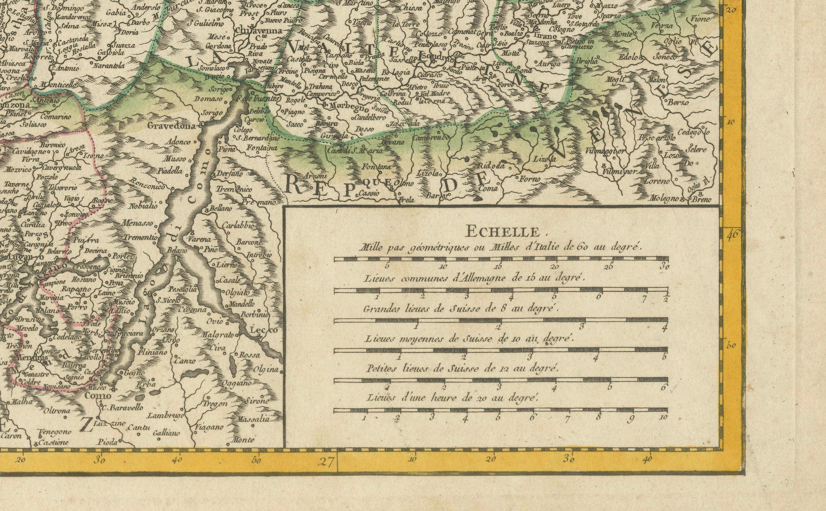
The map is in good condition, with sharp engraving and well-preserved hand-coloring. There is a visible centerfold, typical of antique maps, with minor creases and slight toning along the margins. No significant tears or stains.
About this sheet
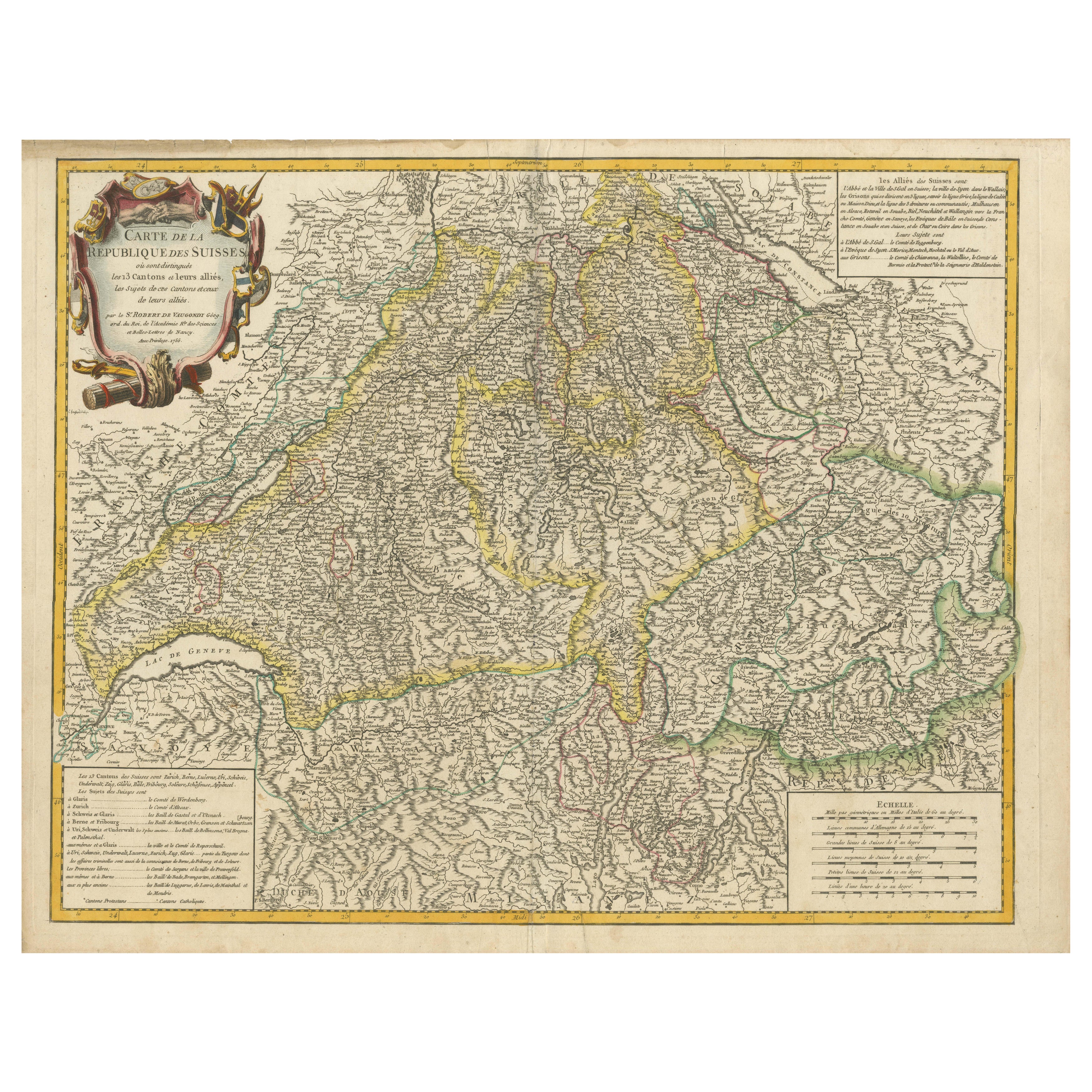
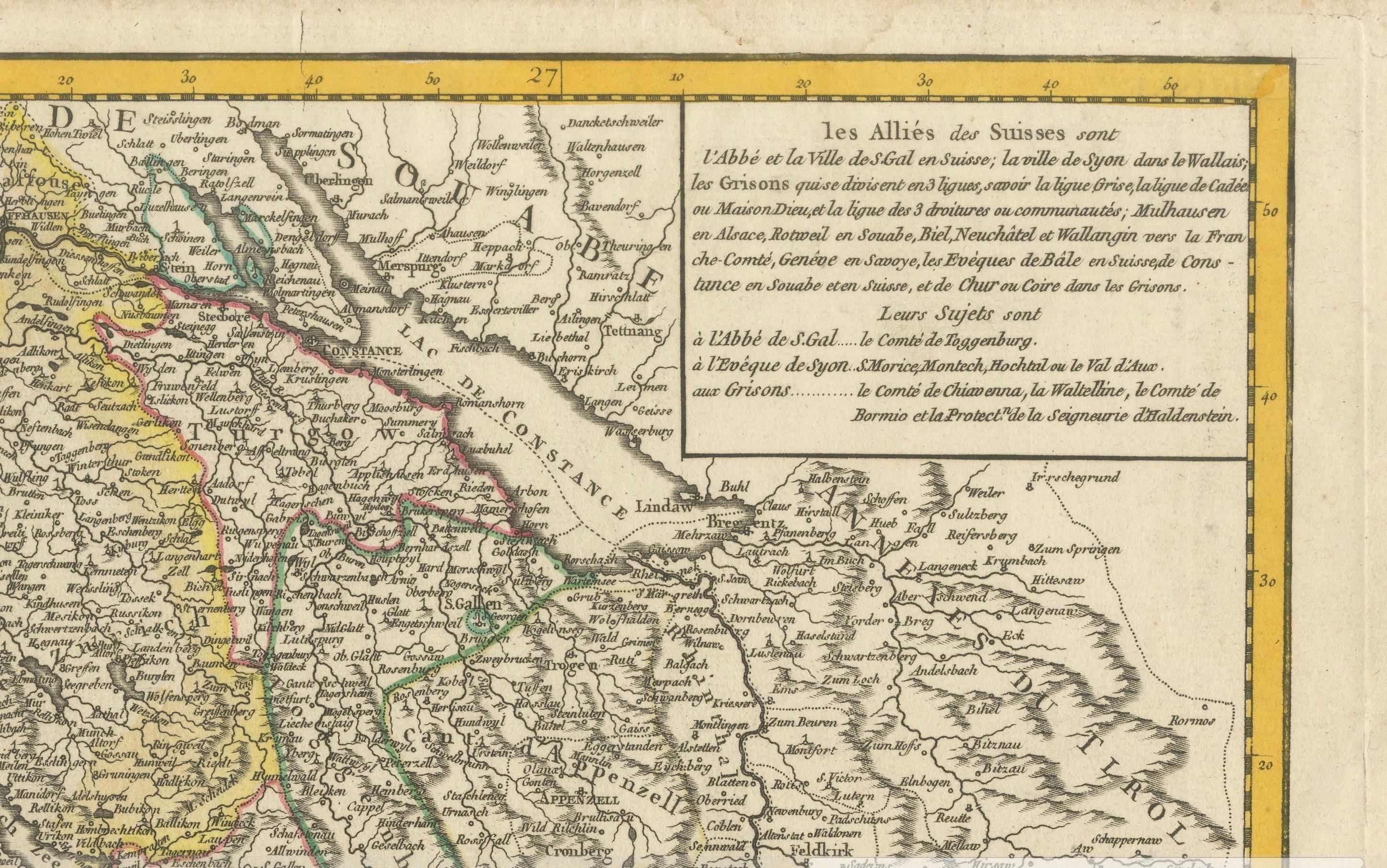
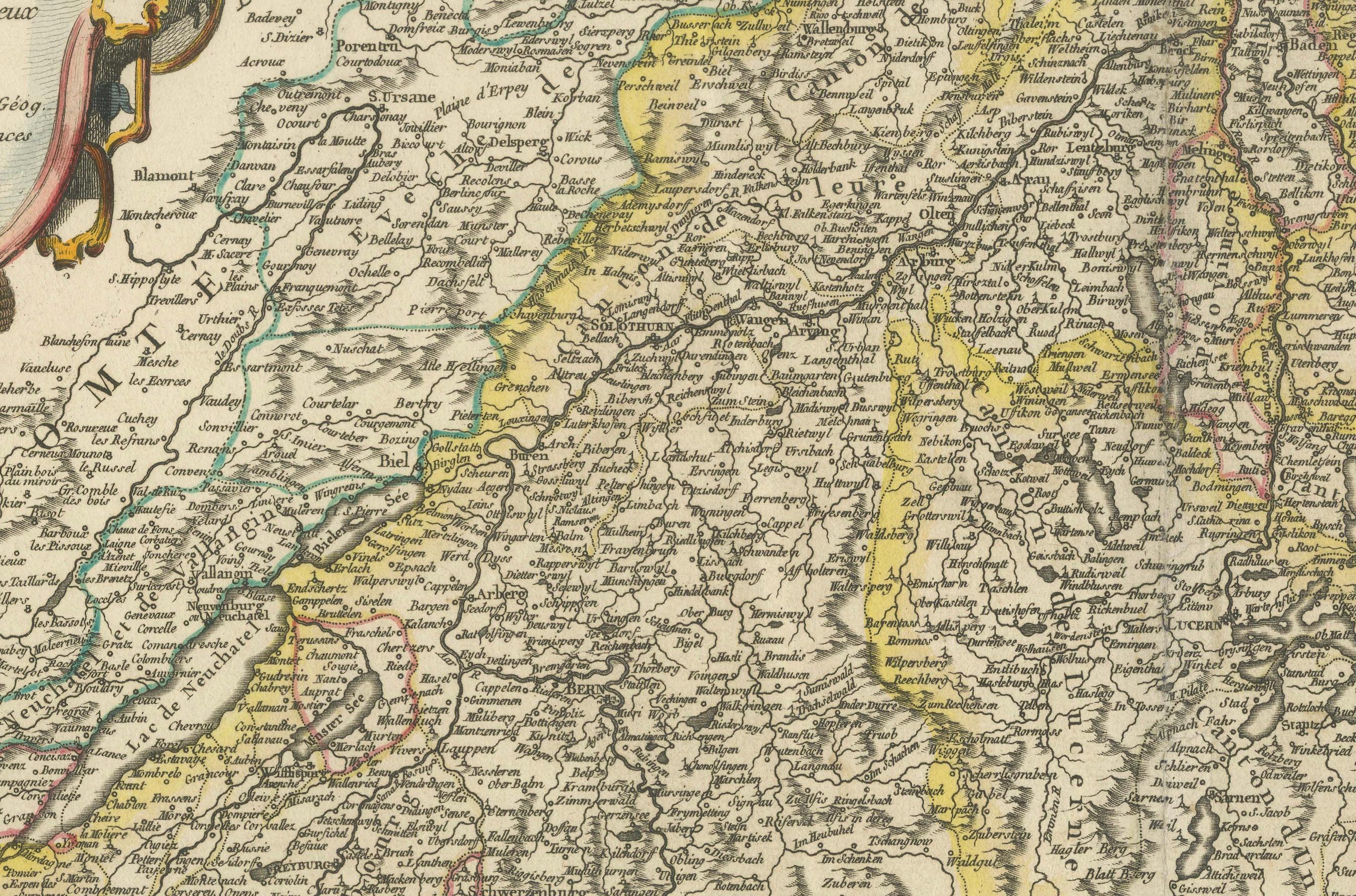
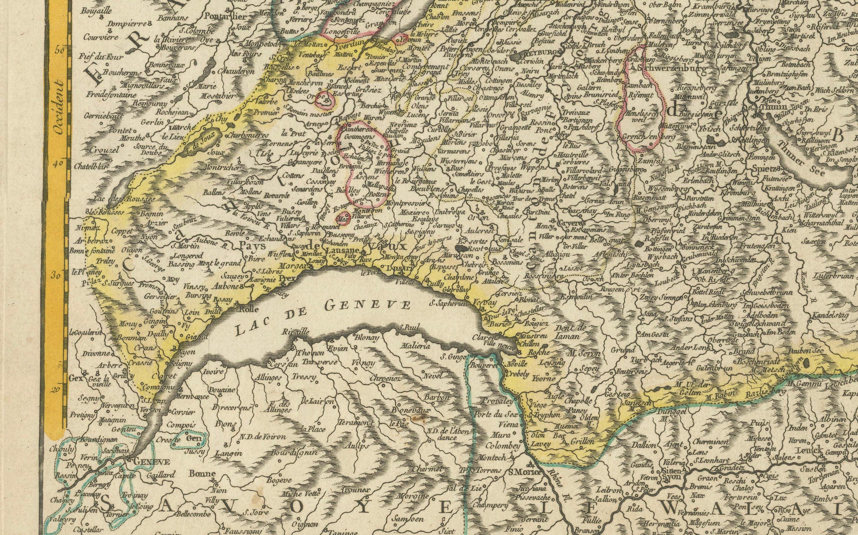
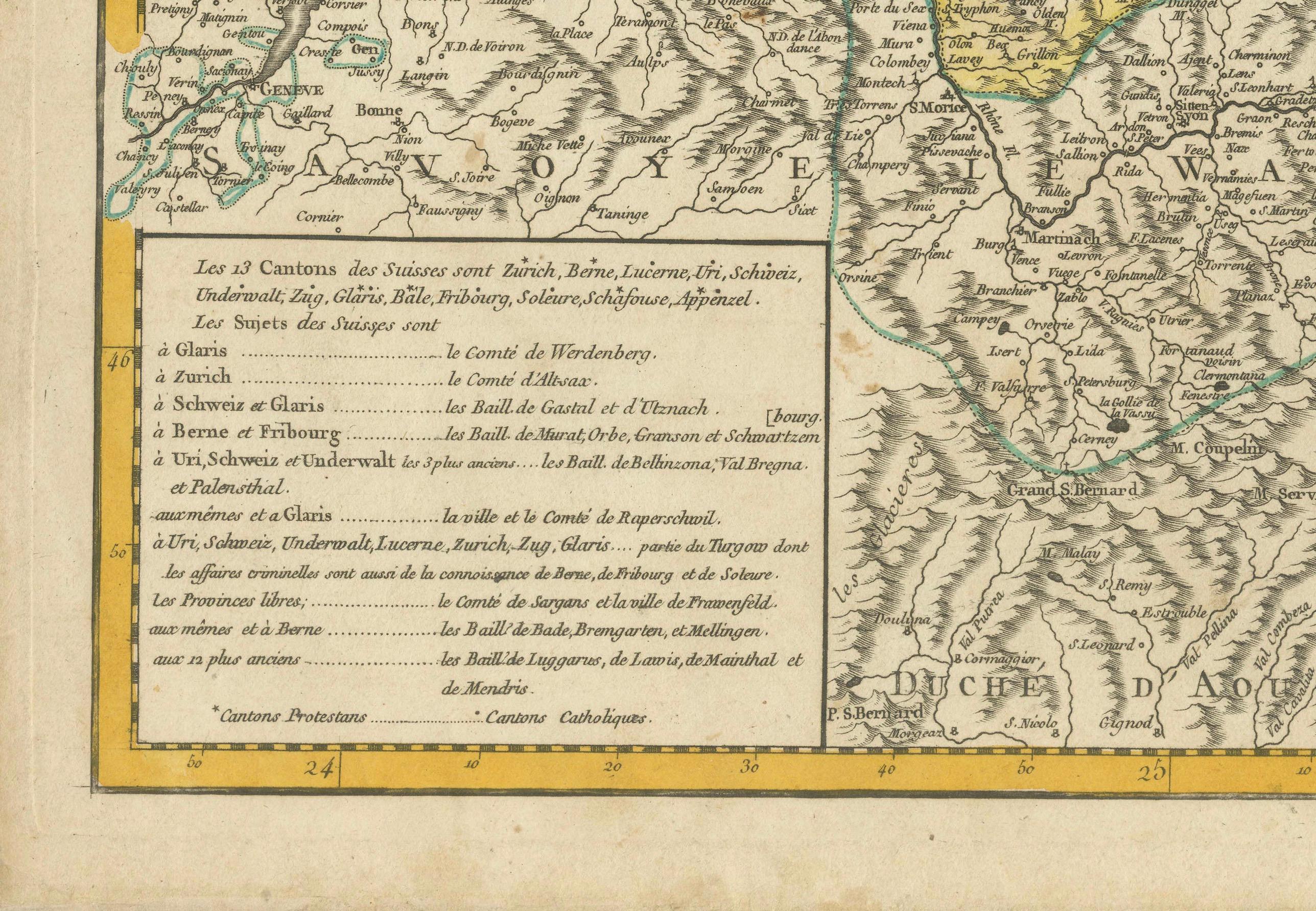
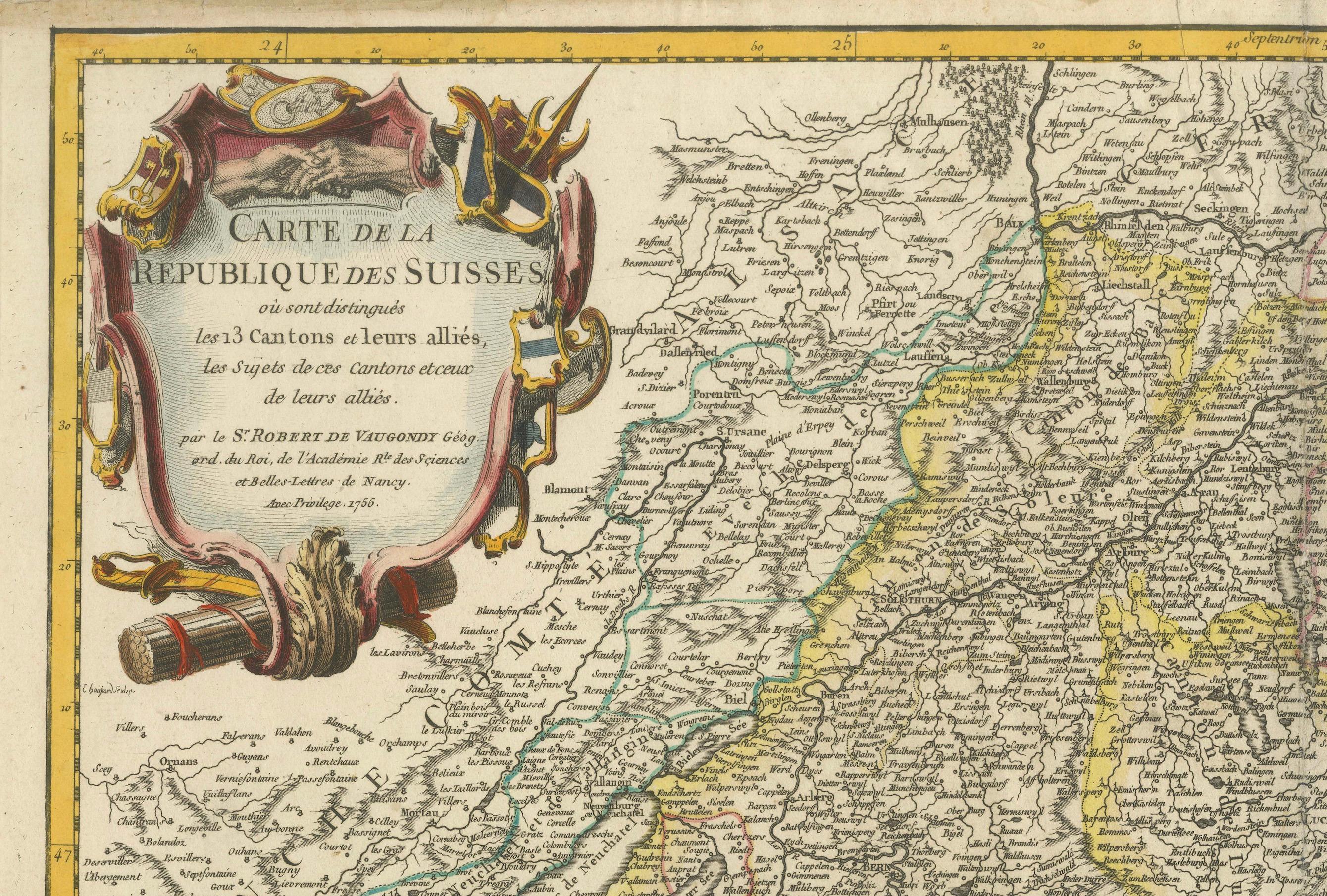
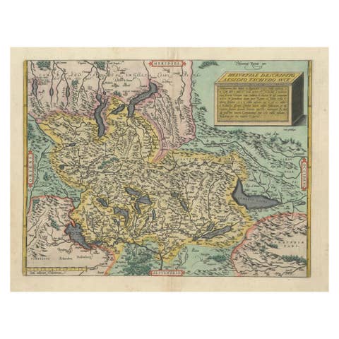
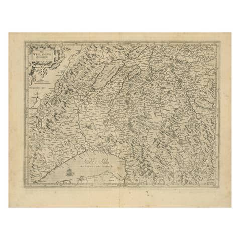
This detailed 18th-century map by Gilles Robert de Vaugondy presents the Swiss Confederation, including its 13 cantons, allied territories, and subject lands during the Old Swiss Confederacy period.
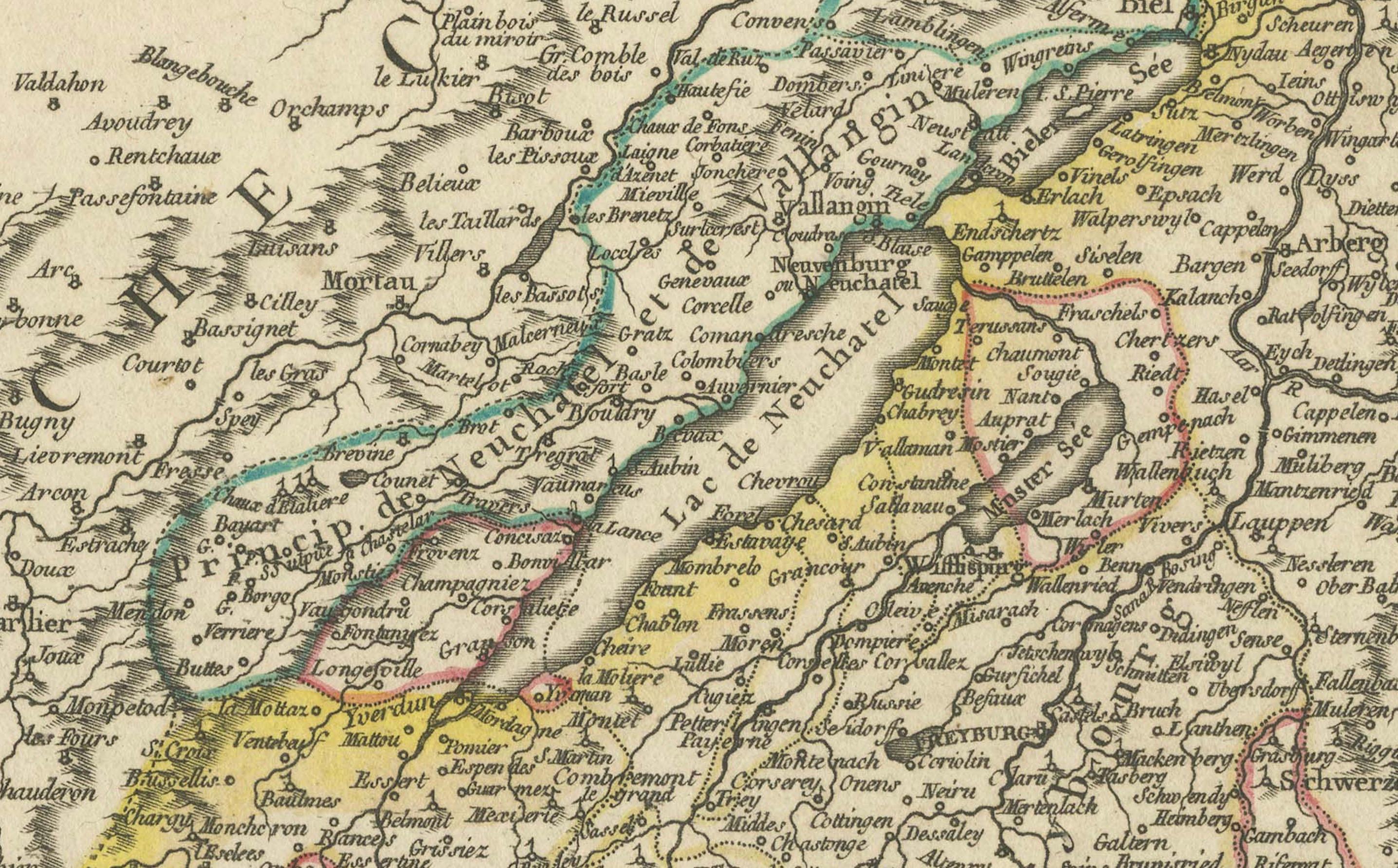
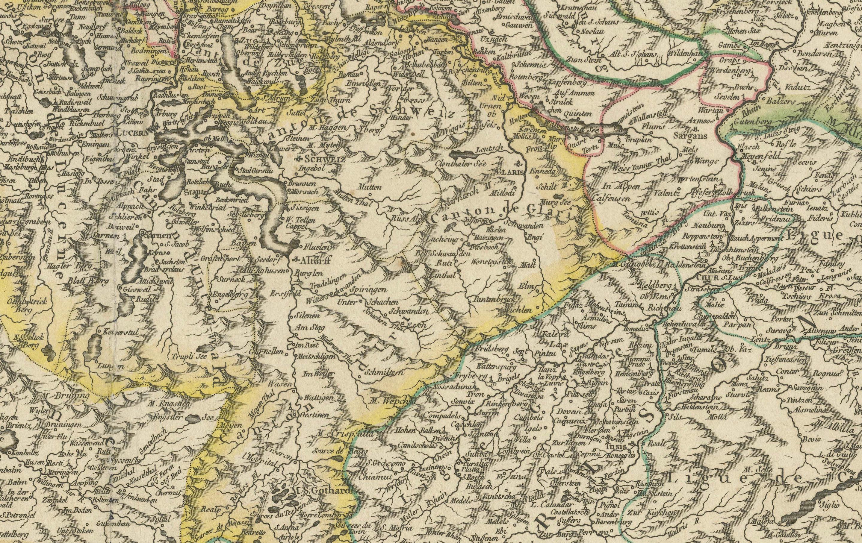
The map provides a comprehensive view of the political landscape before the Napoleonic Wars, with cantonal borders highlighted in hand-coloring. Major cities such as Zurich, Bern, Geneva, and Lucerne are clearly marked, alongside significant Alpine passes, lakes, and rivers that played a crucial role in trade and military strategy.
The elaborate cartouche, adorned with Swiss heraldic symbols and military paraphernalia, reflects the confederation’s independence and martial history. The map also includes a legend explaining the alliances of the Swiss cantons with neighboring regions such as the Duchy of Savoy and the Holy Roman Empire.
Condition: The map is in very good condition, with sharp engraving and well-preserved hand-coloring. There is a visible centerfold, typical of antique maps, with minor creases and slight toning along the margins. No significant tears or stains, making this a highly collectible and display-worthy piece.
Framing tips: A classic wood or gilded frame enhances the historical charm of this map. Use acid-free matting and UV-resistant glass to protect against light exposure and aging. A double-matting approach, with a neutral inner border, can help emphasize the detailed cartography. Consider museum-grade framing to ensure long-term preservation.