Black Friday starts Friday 20 November: up to 30% off, plus free FedEx shipping on qualifying orders →
Orders placed from 15 to 30 November ship from 1 December, in time for Christmas. Our shipping partner: InXpress.
Maps & PrintsBartele Gallery · Langweer

maps-prints.com

✦

Black Friday Sale

Friday 20 to Monday 30 November: up to 30% off original antique maps and prints

Follow your favourite collections

Optional: receive a weekly selection of new arrivals from the collections you love.

You can change your choices or unsubscribe at any time.

The terms

  • Up to 30% off selected original antique maps and prints. Every piece is an original, printed in its own time; none is a reproduction.
  • The sale runs from Friday 20 November to Monday 30 November. Sale prices shown here apply from Friday 20 November; until then pieces are sold at their regular price.
  • Free FedEx shipping on qualifying orders placed on our own websites: USA, Canada, UK and Europe over $500 / €450; rest of the world over $750 / €675. Smaller orders pay our normal shipping rate.
  • Orders placed from 15 to 30 November ship from 1 December, in time for Christmas. Our shipping partner is InXpress.
  • Each piece is unique, so the sale is while stock lasts.

Sale prices apply from Friday 20 November. Save the pieces you like with the heart and come back on Friday.
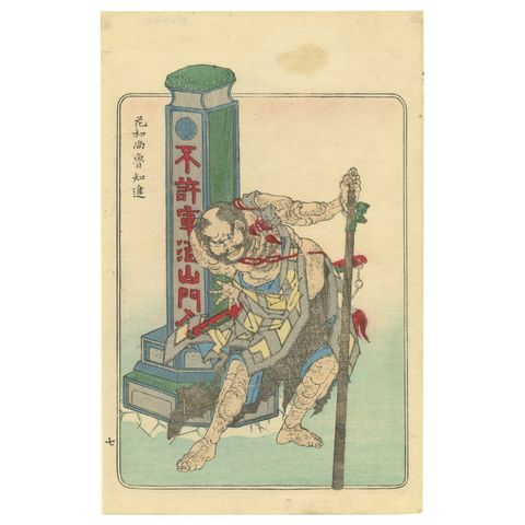
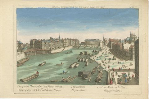
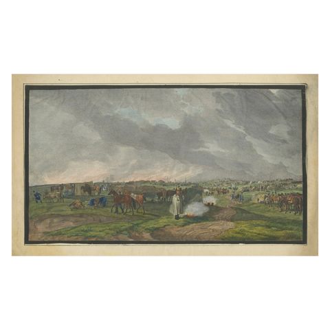
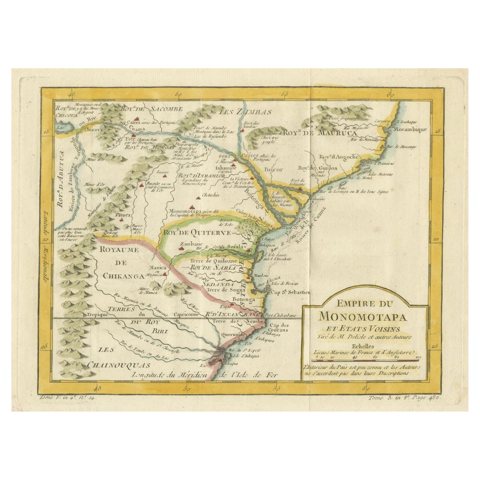
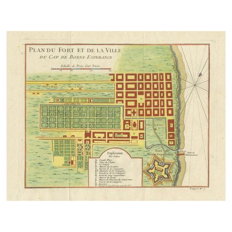
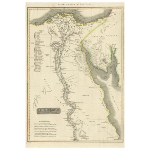
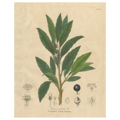
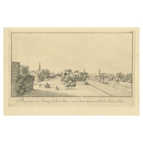
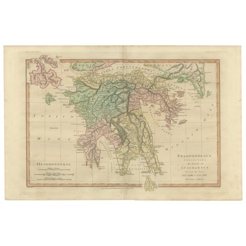
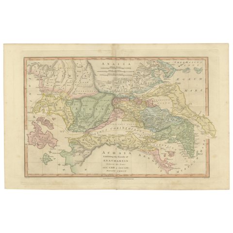
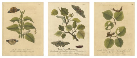
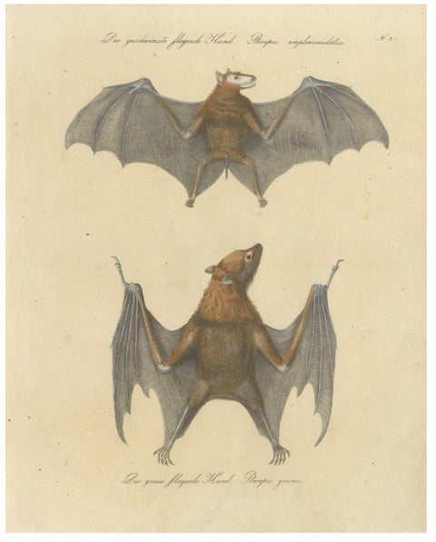
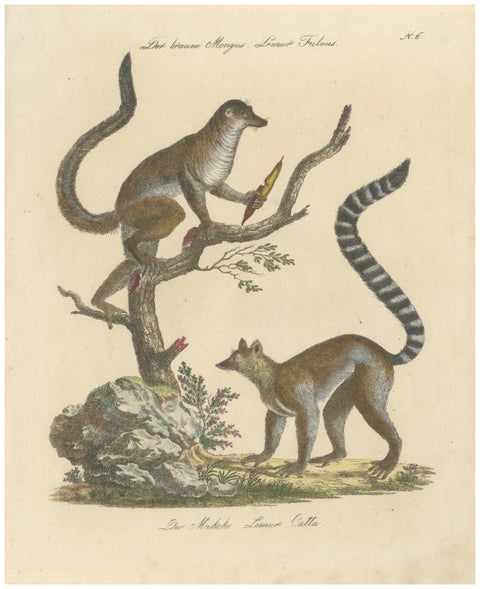
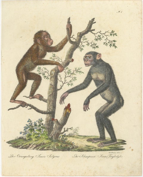
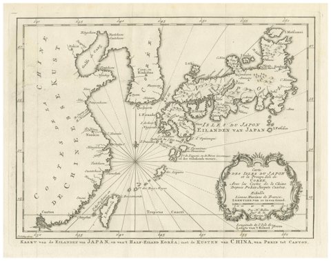
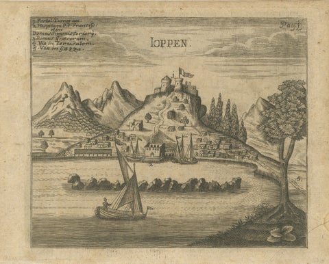
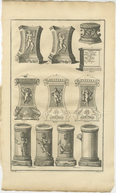
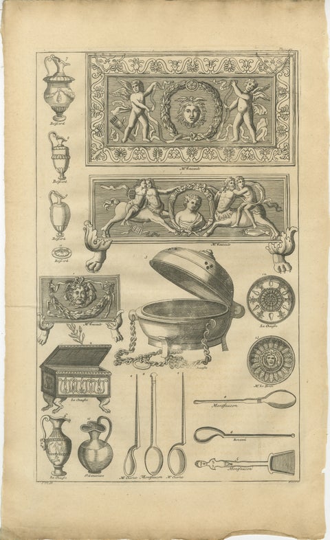
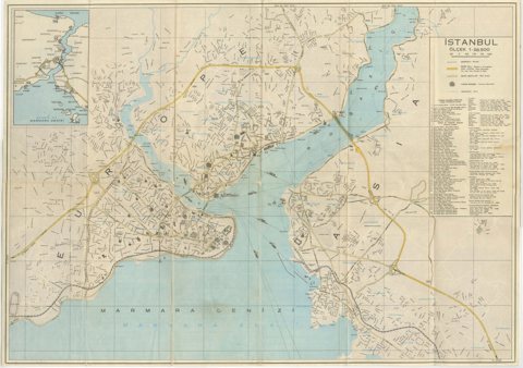
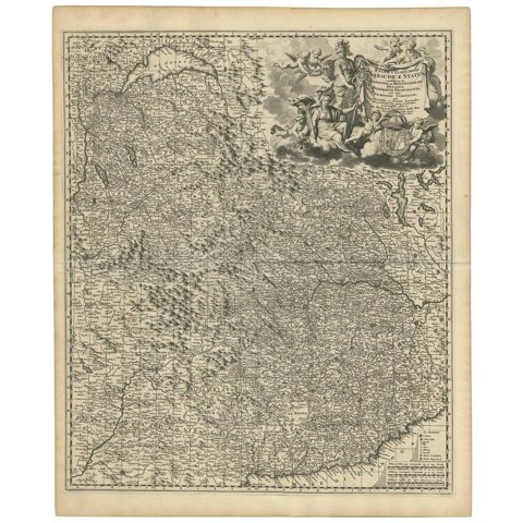
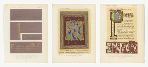
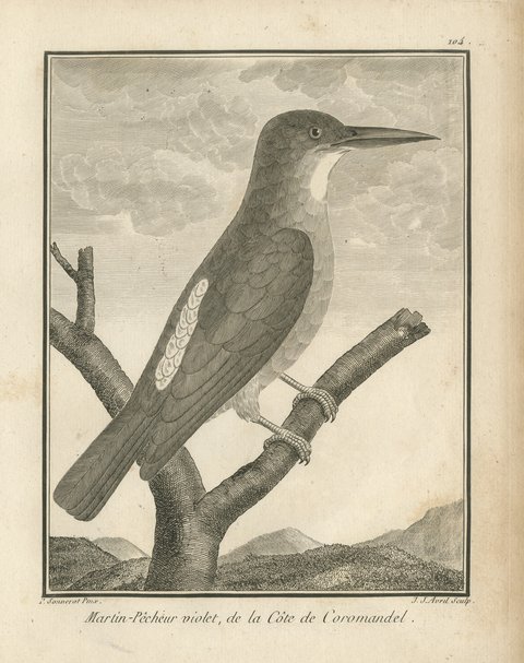
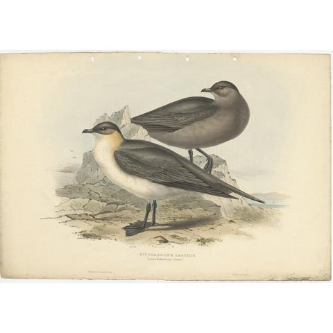
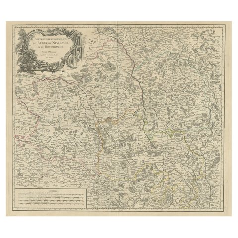
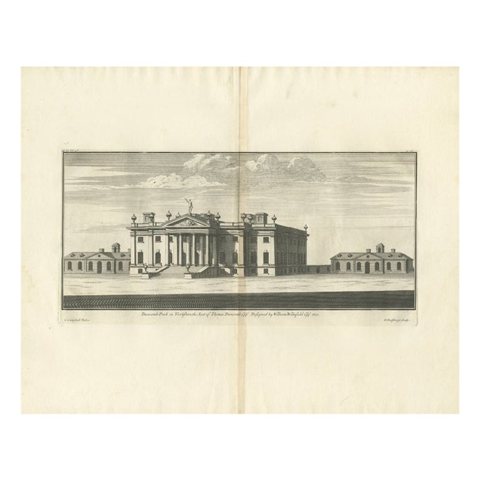
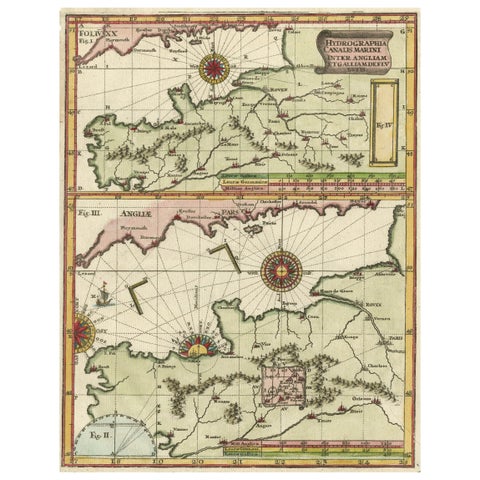
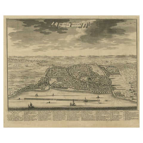
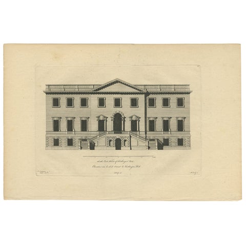
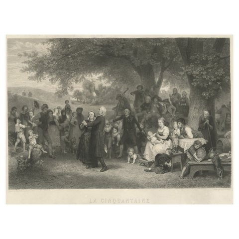
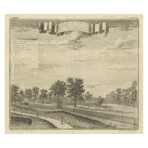
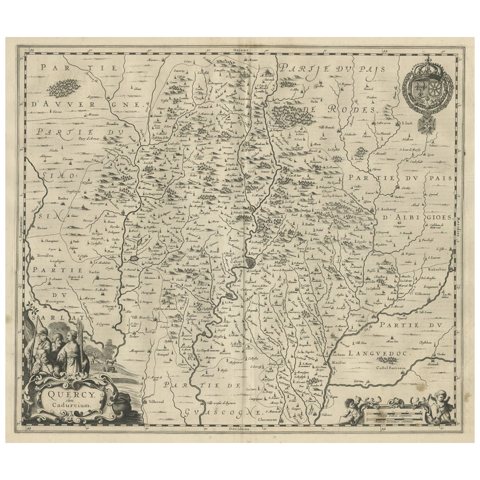
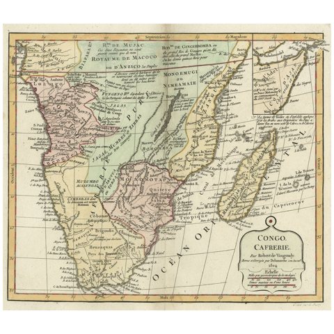
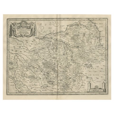
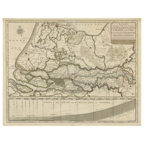
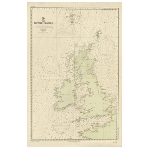
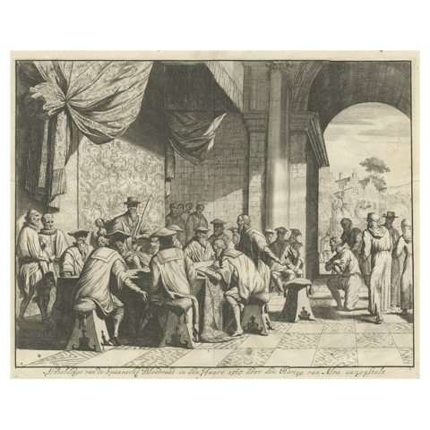
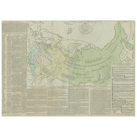
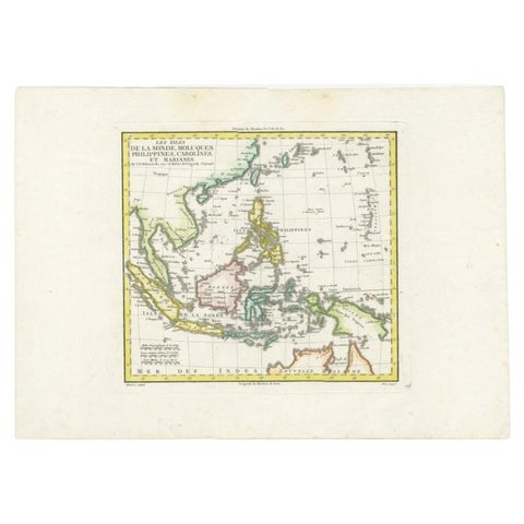
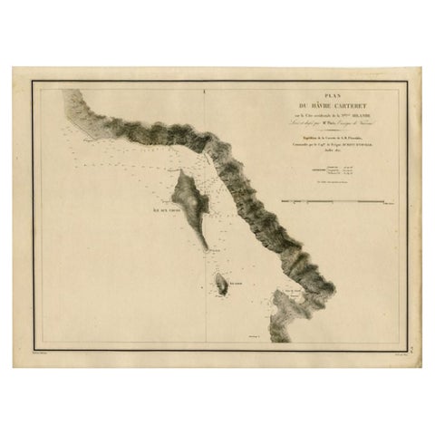
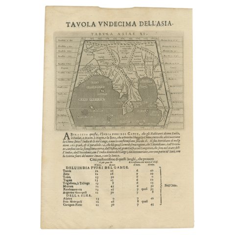
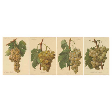
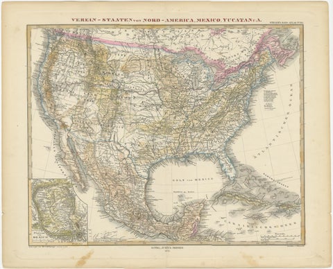
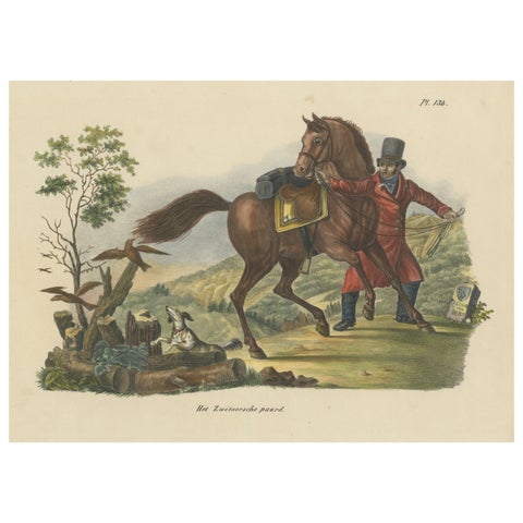
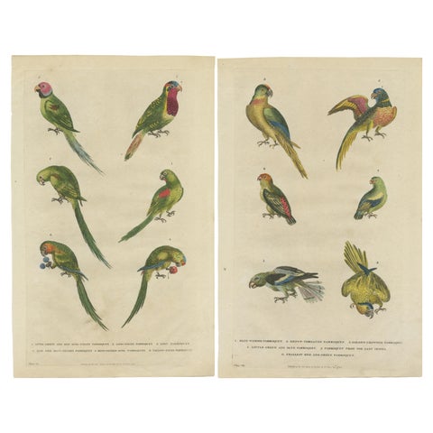
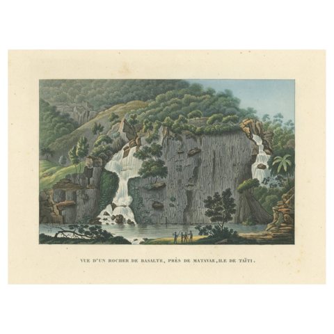
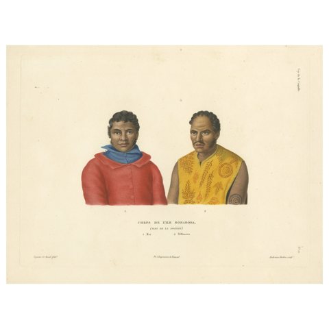
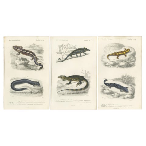
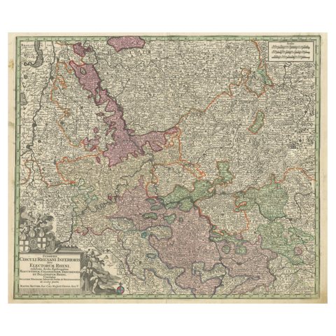
Japanese Edo Warrior Print – Temple Guardian with Halberd, c.1850Japanese Edo Warrior Print – Temple Guardian with Halberd, c.1850$625 $440 30% offfrom Friday 20 NovemberPont Marie and Pont Rouge in Paris – Hand-Colored Optical View, ca. 1770Pont Marie and Pont Rouge in Paris – Hand-Colored Optical View, ca. 1770$625 $440 30% offfrom Friday 20 NovemberNapoleonic Military Encampment - Hand-Coloured Panoramic Aquatint, c1810Napoleonic Military Encampment - Hand-Coloured Panoramic Aquatint, c1810$625 $440 30% offfrom Friday 20 NovemberMonomotapa Empire Map – East Africa, French Cartography, c.1740Monomotapa Empire Map – East Africa, French Cartography, c.1740$625 $440 30% offfrom Friday 20 NovemberCape of Good Hope – Fort and City Plan, French Colonial Map, c.1765Cape of Good Hope – Fort and City Plan, French Colonial Map, c.1765$625 $440 30% offfrom Friday 20 NovemberAncient Egypt – Nile Valley Map by d’Anville, Classical Antiquity, c.1765Ancient Egypt – Nile Valley Map by d’Anville, Classical Antiquity, c.1765$625 $440 30% offfrom Friday 20 NovemberAntique Bay Laurel Botanical Print, Laurus Nobilis, Hand Colored, c.1831Antique Bay Laurel Botanical Print, Laurus Nobilis, Hand Colored, c.1831$625 $440 30% offfrom Friday 20 NovemberView of Deir el-Tin near Old Cairo – Antique Egypt City Engraving, circa 1755View of Deir el-Tin near Old Cairo – Antique Egypt City Engraving, circa 1755$625 $440 30% offfrom Friday 20 NovemberPeloponnesus Classical Map — Travels of Anacharsis Greece, Wilkinson c1818Peloponnesus Classical Map — Travels of Anacharsis Greece, Wilkinson c1818$625 $440 30% offfrom Friday 20 NovemberAncient Achaia Map — Travels of Anacharsis Classical Greece, Wilkinson 1818Ancient Achaia Map — Travels of Anacharsis Classical Greece, Wilkinson 1818$625 $440 30% offfrom Friday 20 NovemberAntique Butterfly and Caterpillar Engravings on Host Plants — Albin 1720Antique Butterfly and Caterpillar Engravings on Host Plants — Albin 1720$625 $440 30% offfrom Friday 20 NovemberAntique Flying Fox Bat Lithograph by Karl Joseph Brodtmann, 1816Antique Flying Fox Bat Lithograph by Karl Joseph Brodtmann, 1816$625 $440 30% offfrom Friday 20 NovemberAntique Ring-Tailed Lemur Lithograph by Karl Joseph Brodtmann, 1816Antique Ring-Tailed Lemur Lithograph by Karl Joseph Brodtmann, 1816$625 $440 30% offfrom Friday 20 NovemberAntique Orangutan & Chimpanzee Lithograph by Karl Joseph Brodtmann, 1816Antique Orangutan & Chimpanzee Lithograph by Karl Joseph Brodtmann, 1816$625 $440 30% offfrom Friday 20 NovemberAntique Map of Japan, Korea & the Chinese Coast by Bellin, circa 1755Antique Map of Japan, Korea & the Chinese Coast by Bellin, circa 1755$625 $440 30% offfrom Friday 20 NovemberAntique View of Jaffa (Ioppen) Holy Land Engraving, Müller 1735Antique View of Jaffa (Ioppen) Holy Land Engraving, Müller 1735$625 $440 30% offfrom Friday 20 NovemberClassical Roman Altars & Antiquities Engraving, Montfaucon 1721Classical Roman Altars & Antiquities Engraving, Montfaucon 1721$625 $440 30% offfrom Friday 20 NovemberRoman Antiquities & Classical Decorative Arts Engraving, 1721Roman Antiquities & Classical Decorative Arts Engraving, 1721$625 $440 30% offfrom Friday 20 NovemberVintage Tourist Map of Istanbul (Constantinople), Bosphorus & Marmara Sea, c1950Vintage Tourist Map of Istanbul (Constantinople), Bosphorus & Marmara Sea, c1950$625 $440 30% offfrom Friday 20 NovemberAntique Map of Piedmonte and Savoie 'Italy' by N. Visscher, circa 1683Antique Map of Piedmonte and Savoie 'Italy' by N. Visscher, circa 1683$625 $440 30% offfrom Friday 20 NovemberGold on Purple, Three Carolingian Manuscript Plates, 1849Gold on Purple, Three Carolingian Manuscript Plates, 1849$615 $430 30% offfrom Friday 20 NovemberKingfisher, Bee-Eater and Sunbirds, Four Antique Sonnerat Plates, 1806Kingfisher, Bee-Eater and Sunbirds, Four Antique Sonnerat Plates, 1806$615 $430 30% offfrom Friday 20 NovemberAntique Bird Print of the Richardon's Jager by Gould, 1832Antique Bird Print of the Richardon's Jager by Gould, 1832$615 $430 30% offfrom Friday 20 NovemberLarge Antique Map of the Region of Berry, Nivernois & Bourbonnais, France, 1753Large Antique Map of the Region of Berry, Nivernois & Bourbonnais, France, 1753$615 $430 30% offfrom Friday 20 NovemberAntique Print of Duncombe Park by Campbell, 1725Antique Print of Duncombe Park by Campbell, 1725$615 $430 30% offfrom Friday 20 NovemberTwo Charts of The English Channel, Each Adorned with Nice Compass Roses, ca.1700Two Charts of The English Channel, Each Adorned with Nice Compass Roses, ca.1700$615 $430 30% offfrom Friday 20 NovemberDecorative View of the Indonesian Town of Bantam 'Banten', Java, 1726Decorative View of the Indonesian Town of Bantam 'Banten', Java, 1726$615 $430 30% offfrom Friday 20 NovemberAntique Print of the South-East Facade of the Mansion at Kirtlington Park, c1770Antique Print of the South-East Facade of the Mansion at Kirtlington Park, c1770$615 $430 30% offfrom Friday 20 NovemberPrint of an Elderly Couple, Celebrating Their Fiftieth Wedding Anniversary, 1873Print of an Elderly Couple, Celebrating Their Fiftieth Wedding Anniversary, 1873$615 $430 30% offfrom Friday 20 NovemberOld Antique Print of Fort Noordwijk, Batavia in the Dutch East Indies, 1739Old Antique Print of Fort Noordwijk, Batavia in the Dutch East Indies, 1739$615 $430 30% offfrom Friday 20 NovemberDecorative Antique Map of the Quercy Region in France, 1657Decorative Antique Map of the Quercy Region in France, 1657$615 $430 30% offfrom Friday 20 NovemberDecorative Antique Map of the Southern Part of Africa, 1806Decorative Antique Map of the Southern Part of Africa, 1806$615 $430 30% offfrom Friday 20 NovemberDecorative Antique Map of the Berry Region, France, 1657Decorative Antique Map of the Berry Region, France, 1657$615 $430 30% offfrom Friday 20 NovemberDetailed Map of Dutch Rivers, with the Rhine, Maas, de Merwe en de Lek, C.1750Detailed Map of Dutch Rivers, with the Rhine, Maas, de Merwe en de Lek, C.1750$615 $430 30% offfrom Friday 20 NovemberLarge Sea Chart of the British Islands, 1918Large Sea Chart of the British Islands, 1918$615 $430 30% offfrom Friday 20 NovemberThe Iron Duke of Alva of Spain Planning the Atrocities Against the Dutch, c.1680The Iron Duke of Alva of Spain Planning the Atrocities Against the Dutch, c.1680$615 $430 30% offfrom Friday 20 NovemberAntique Map of the Extension of the Russian Empire in the XIXth Century, 1806Antique Map of the Extension of the Russian Empire in the XIXth Century, 1806$615 $430 30% offfrom Friday 20 NovemberAntique Map of Dutch East Indies (Indonesia) by C.F. Delamarche, Circa 1806Antique Map of Dutch East Indies (Indonesia) by C.F. Delamarche, Circa 1806$615 $430 30% offfrom Friday 20 NovemberAntique Map of the Coast of New Ireland, Earlier Part of German New Guinea, 1833Antique Map of the Coast of New Ireland, Earlier Part of German New Guinea, 1833$615 $430 30% offfrom Friday 20 NovemberLate 16th Century Sheet with Copper Engravings of India, Pakistan, etc, 1598Late 16th Century Sheet with Copper Engravings of India, Pakistan, etc, 1598$615 $430 30% offfrom Friday 20 NovemberSet of four Antique Prints of Green / White Grape VarietiesSet of four Antique Prints of Green / White Grape Varieties$615 $430 30% offfrom Friday 20 NovemberAntique Map with Hand Coloring of the United States and the CaribbeanAntique Map with Hand Coloring of the United States and the Caribbean$615 $430 30% offfrom Friday 20 NovemberAntique Hand Colored Print of a Swiss HorseAntique Hand Colored Print of a Swiss Horse$615 $430 30% offfrom Friday 20 NovemberSet of 2 Hand Colored Antique Bird Prints of Parakeet Species, c.1785Set of 2 Hand Colored Antique Bird Prints of Parakeet Species, c.1785$615 $430 30% offfrom Friday 20 NovemberAntique Print of a Basalt Rock Near Matavae, Tahiti, 1826Antique Print of a Basalt Rock Near Matavae, Tahiti, 1826$615 $430 30% offfrom Friday 20 NovemberAntique Print of Mai and Téffaanora, Heads of the Island of Bora BoraAntique Print of Mai and Téffaanora, Heads of the Island of Bora Bora$615 $430 30% offfrom Friday 20 NovemberSet of 3 Antique Prints of a Chameleon and Other ReptilesSet of 3 Antique Prints of a Chameleon and Other Reptiles$615 $430 30% offfrom Friday 20 NovemberAntique Map of the Course of the Rhine from Philippsburg to Duisburg, GermanyAntique Map of the Course of the Rhine from Philippsburg to Duisburg, Germany$615 $430 30% offfrom Friday 20 November

Sharing the sale? Download the Black Friday banners.

Your favorites

Saved in this browser. Email the list to yourself to keep it on any device.

We use your email to send this list and, only if you tick the box and confirm, for occasional new arrivals. Every email has an unsubscribe link. Bartele Gallery, the Netherlands.

Powered by SiteKeys