About this sheet
Ancient Achaia Map — Travels of Anacharsis Classical Greece, Wilkinson 1818
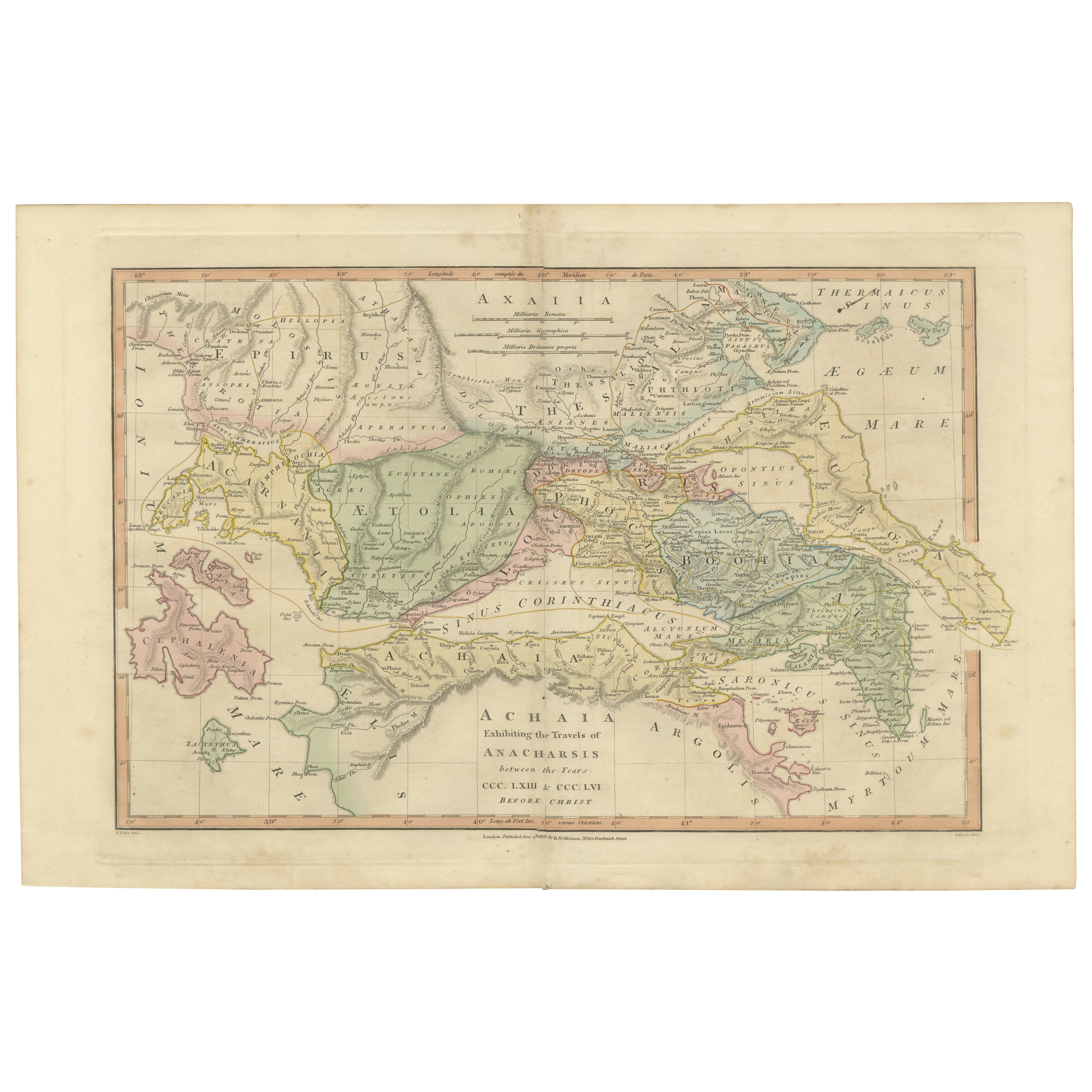
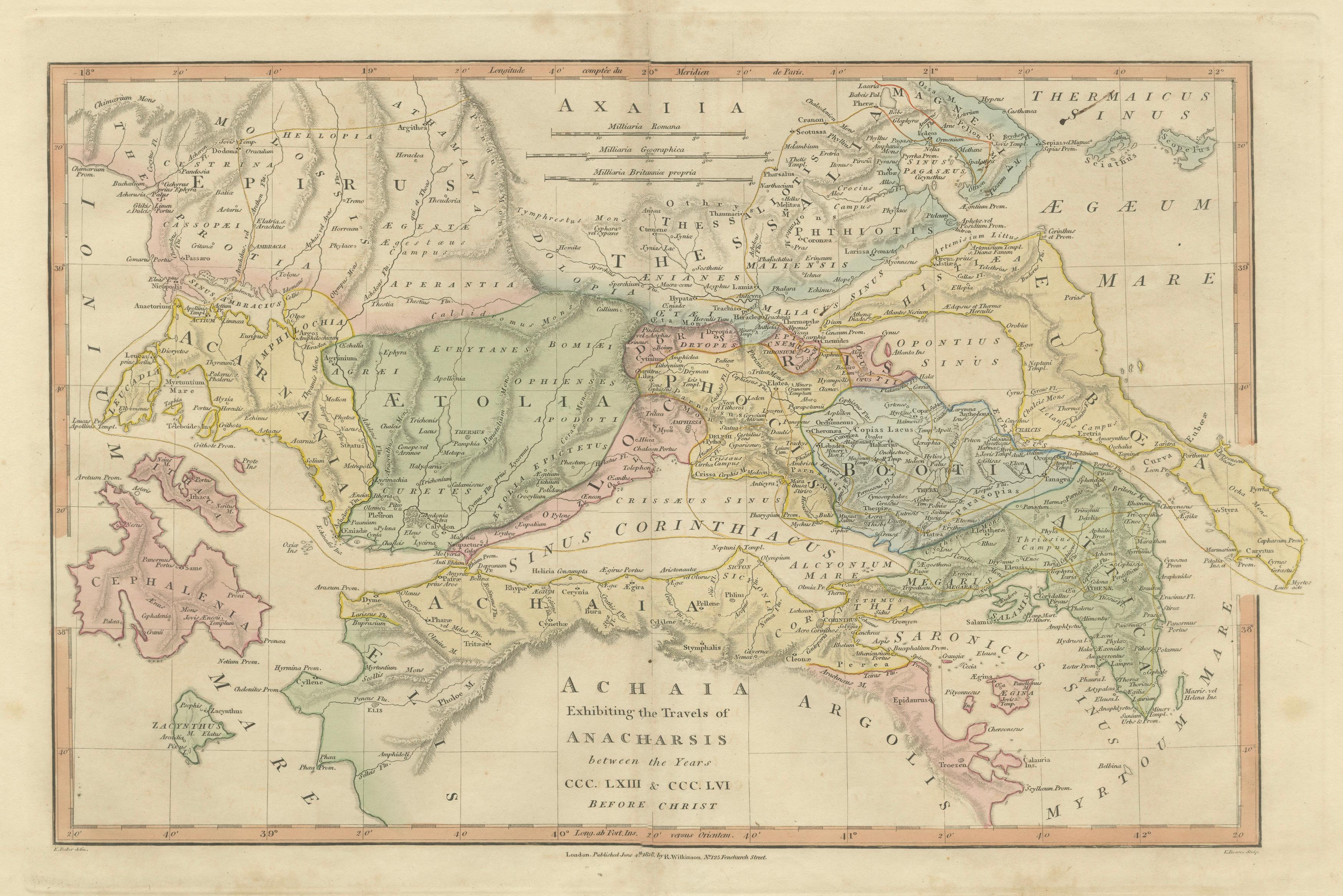
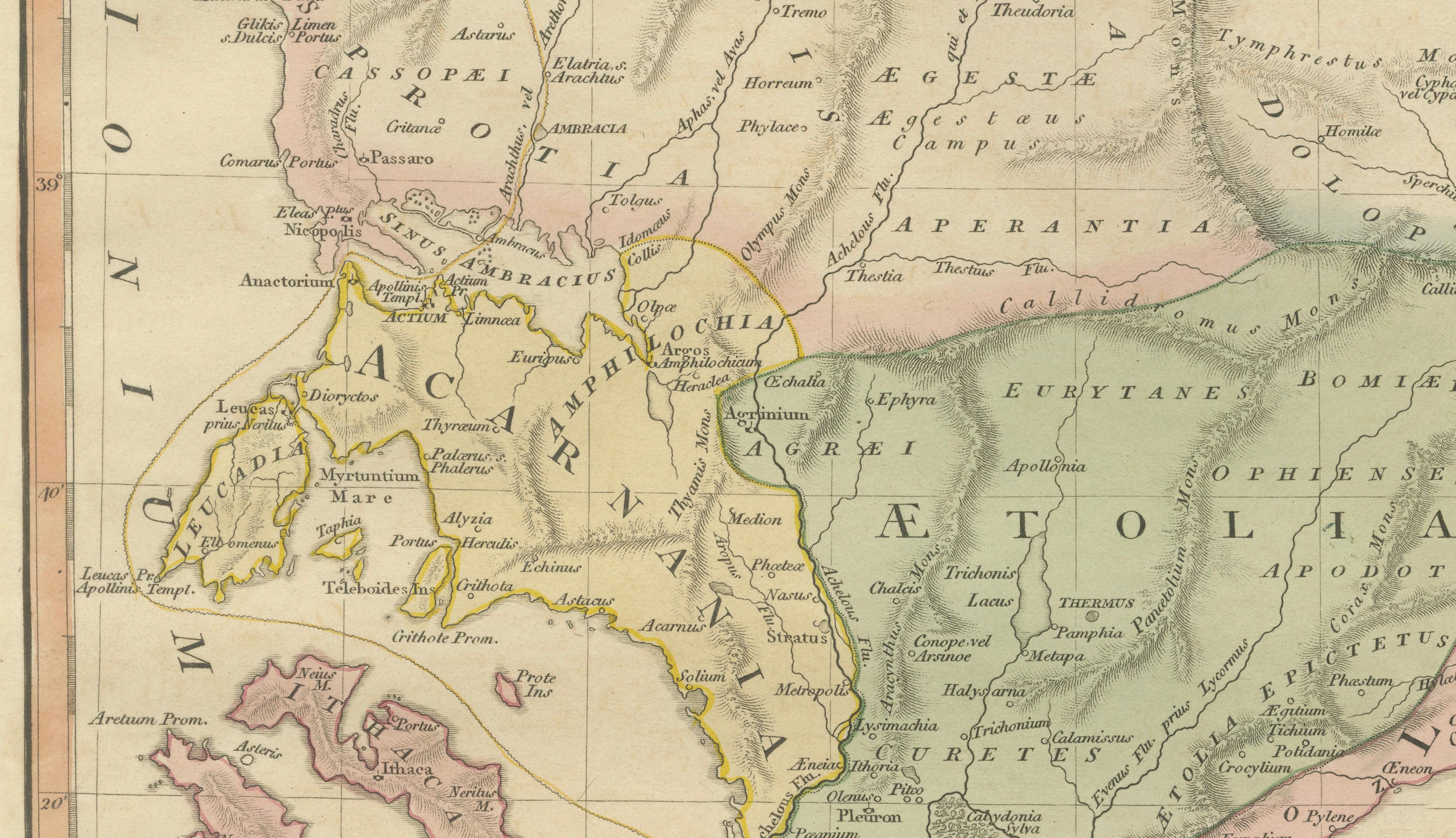
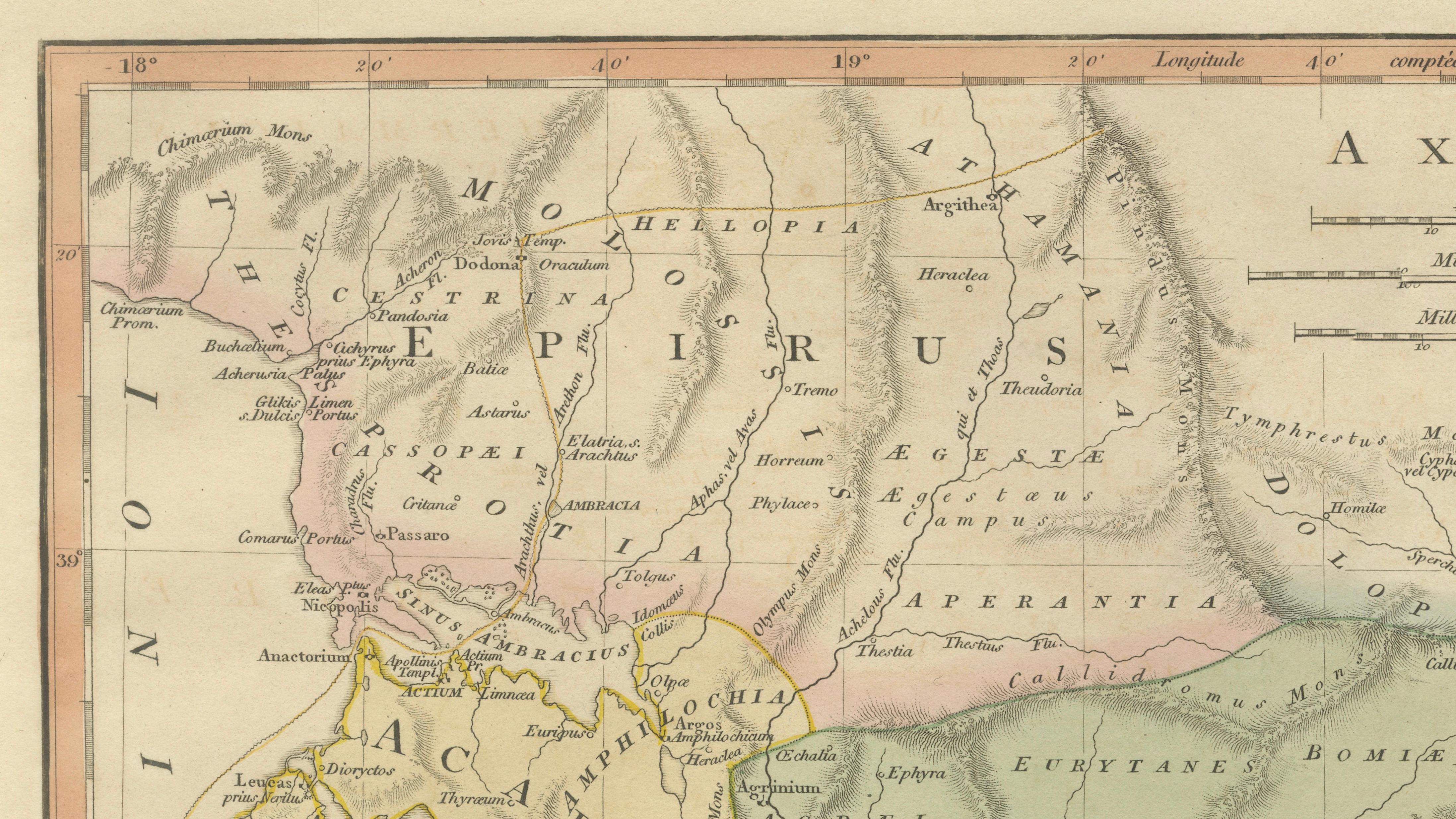
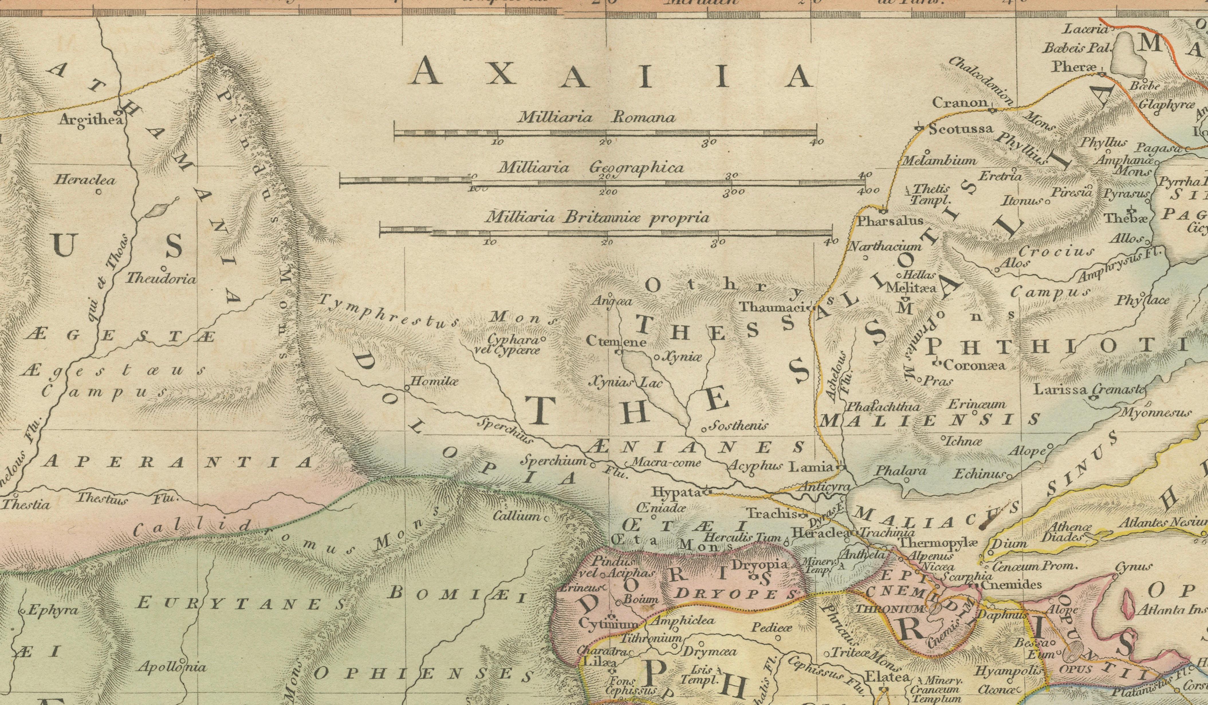
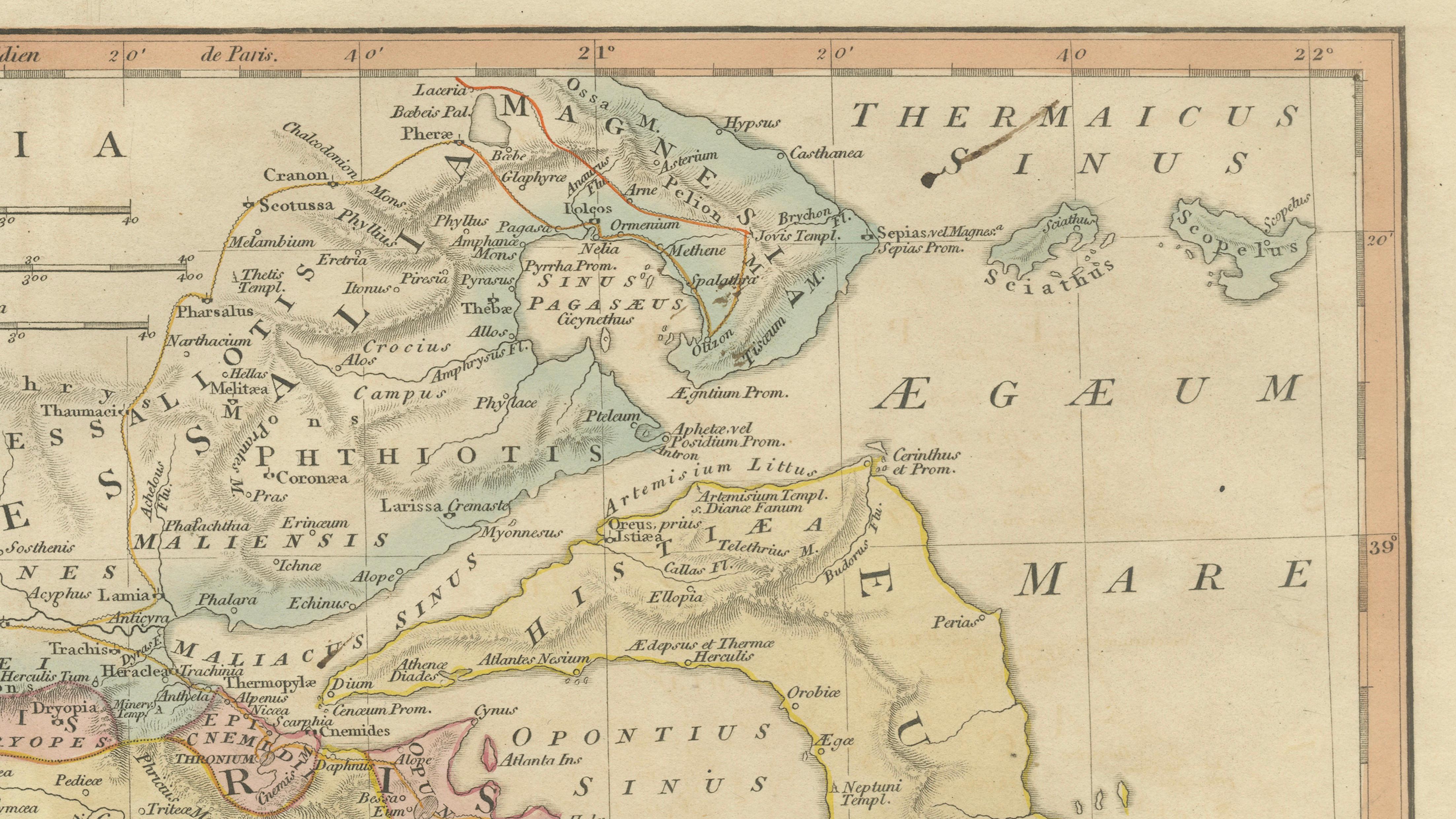
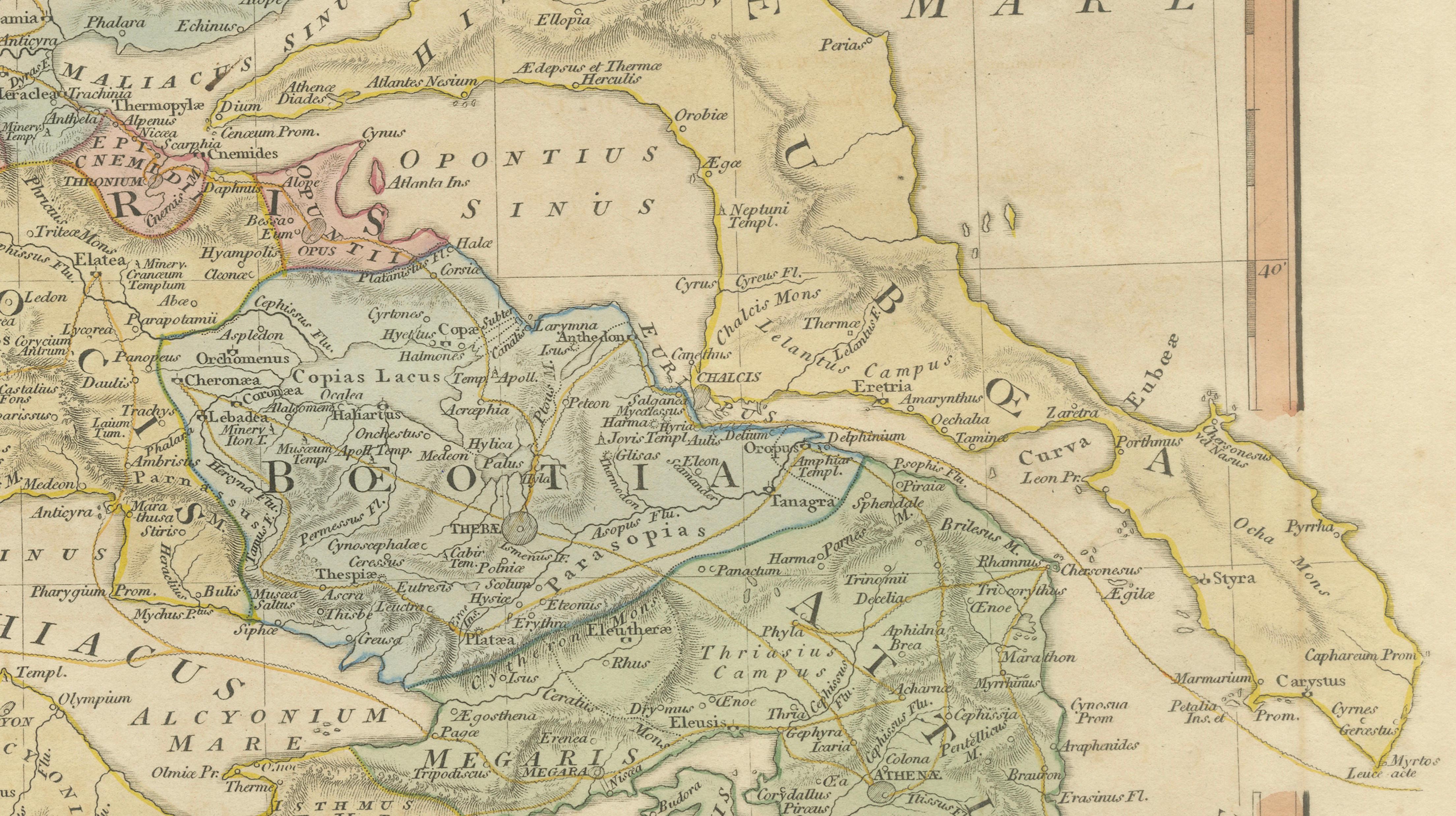
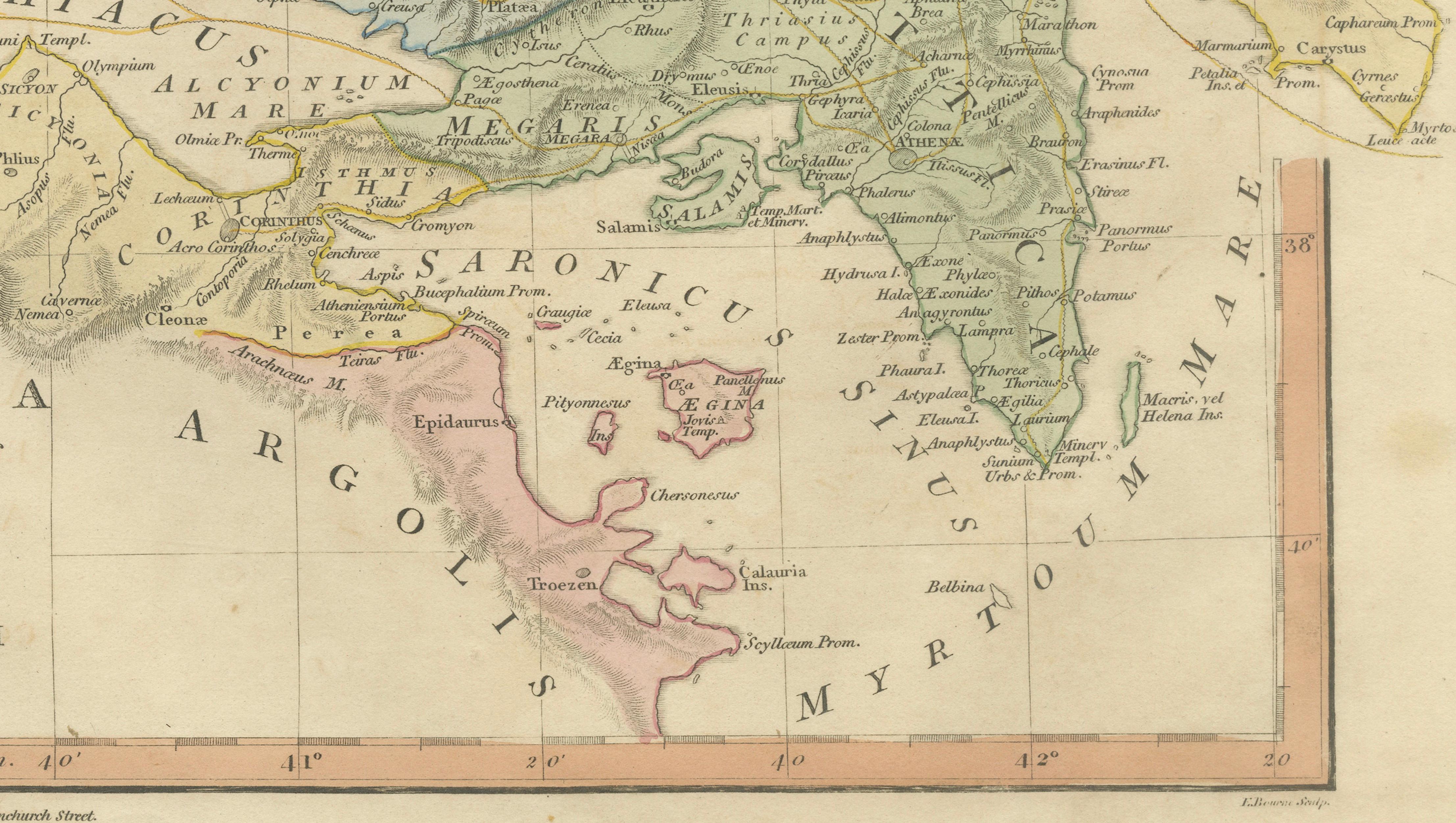
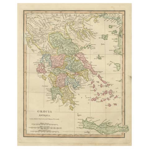
A finely engraved and hand-colored classical map depicting Achaia and central Greece, published in London by Robert Wilkinson in the early nineteenth century. Created during a period of renewed scholarly interest in classical antiquity, the map illustrates the ancient regions and city-states of Greece through the lens of Enlightenment historical research and the popular narrative tradition inspired by the travels of Anacharsis.
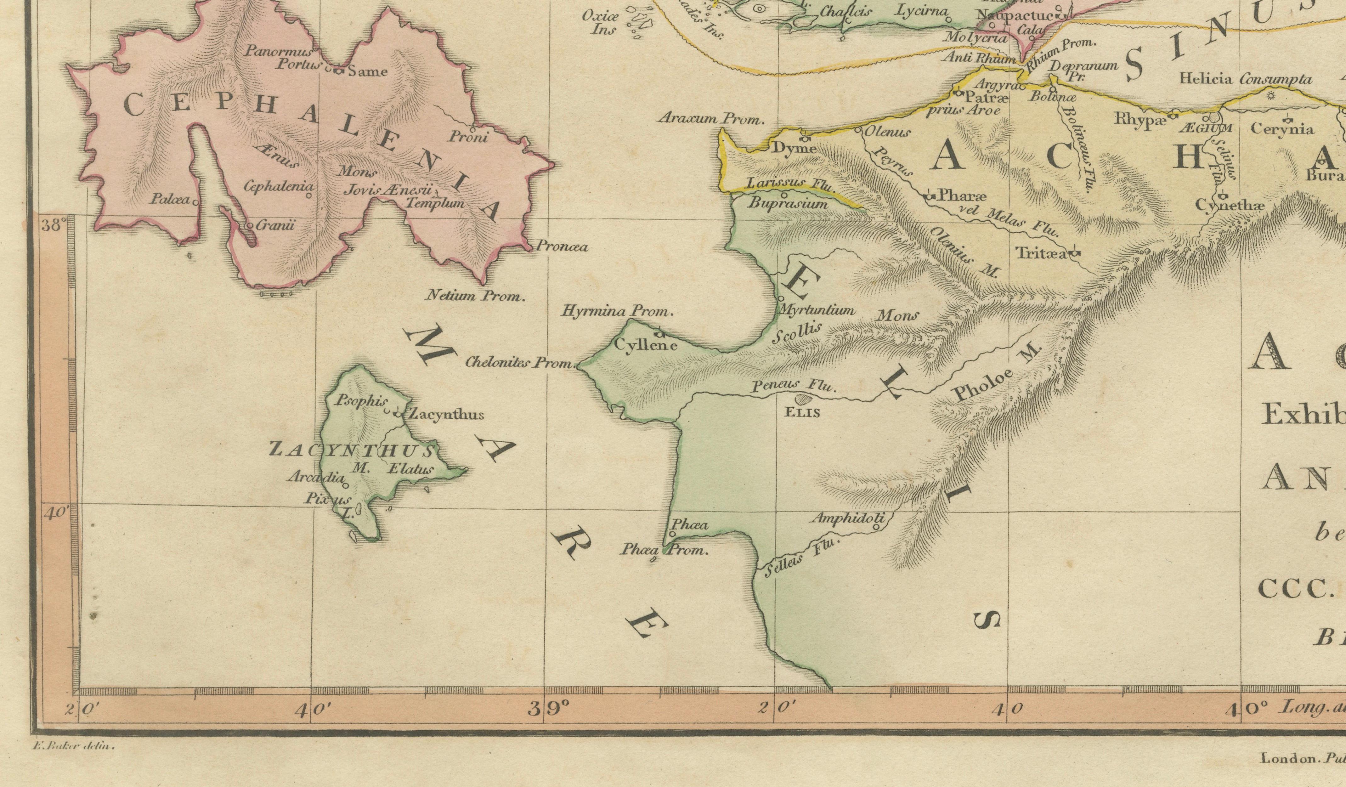
The composition centers on Achaia and the Gulf of Corinth, extending across the northern Peloponnese and into central Greece. Regions including Aetolia, Boeotia, Phocis, Thessaly, Epirus, and Acarnania are clearly delineated in delicate original color. Numerous ancient cities and historically significant sites are identified, reflecting the cartographic ambition to reconstruct the classical world according to ancient sources.
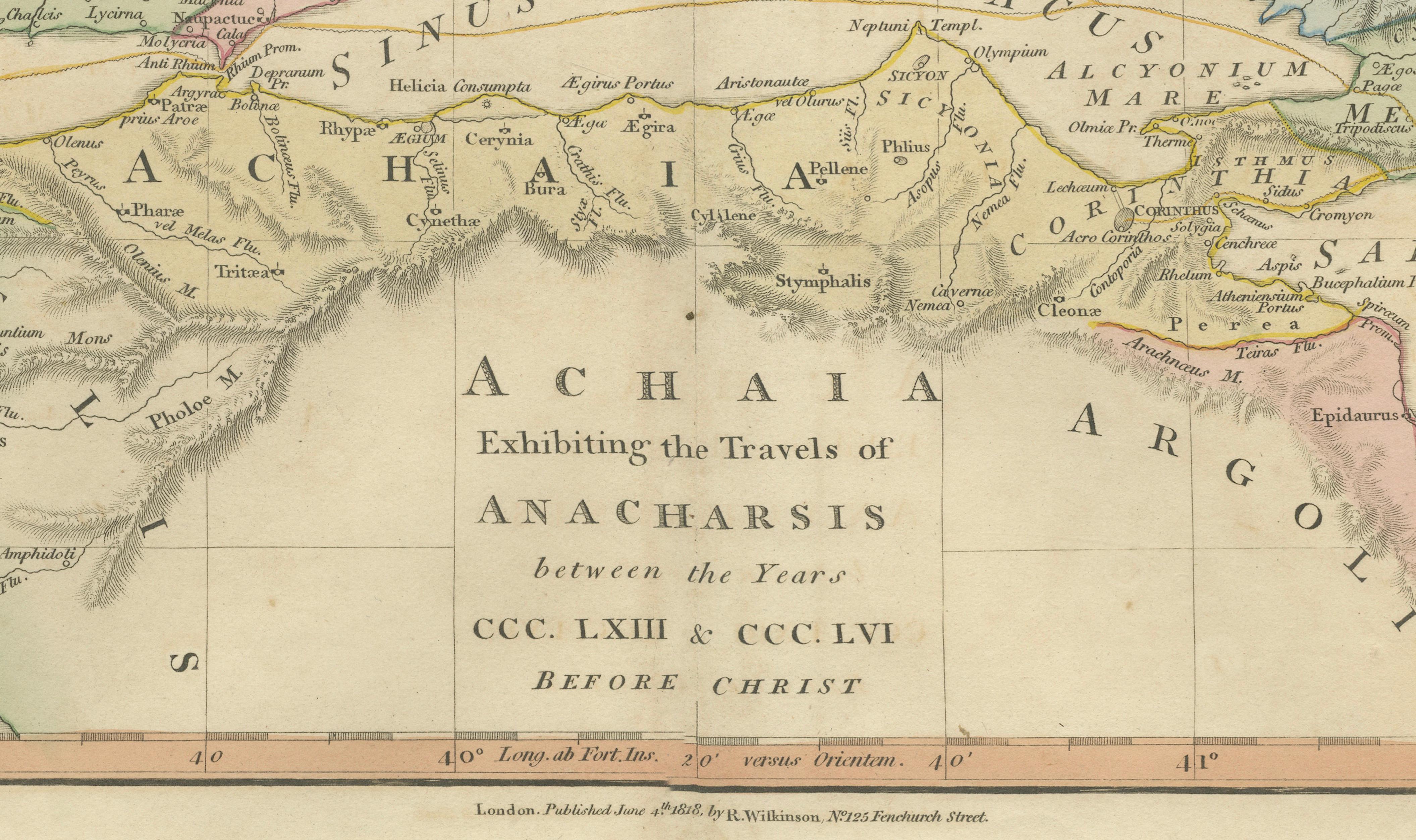
Prominent geographical features such as the Sinus Corinthiacus (Gulf of Corinth), mountain ranges, rivers, and coastal formations are rendered with refined engraving, providing both visual balance and historical context. Cities including Corinth, Delphi, Thebes, and Argos appear alongside lesser-known ancient settlements, making the map both an educational document and an evocative decorative piece.
The reference to the “Travels of Anacharsis” links the map to Jean-Jacques Barthélemy’s influential eighteenth-century historical novel, which imagined a philosophical journey through ancient Greece and inspired a generation of scholars and mapmakers. Wilkinson’s atlas translates this intellectual enthusiasm into accessible visual form, blending academic content with elegant aesthetic design.
With its harmonious color palette, clear typography, and balanced composition, the map is particularly well suited to display in a study, library, or classical interior setting. It also forms part of a desirable group of classical maps by Wilkinson, sought after by collectors interested in ancient geography and early nineteenth-century cartography.
Condition: Good antique condition with age-related toning and light marginal wear. Central fold visible as issued. Minor handling marks consistent with early nineteenth-century atlas plates. Plate mark visible.
Framing tips: Display in a dark walnut or antiqued gilt frame with a warm ivory mat. A wide mat border enhances the horizontal format and highlights the subtle hand coloring.
Keywords:
Achaia antiquity, ancient Greece map, Travels of Anacharsis, classical Greece geography, Corinth, Delphi, Thebes, Argolis, Boeotia, Thessaly, Epirus, Aetolia, Acarnania, Peloponnese classical map, Gulf of Corinth, Sinus Corinthiacus, Greek city states map, classical atlas engraving, Enlightenment antiquarian map, Wilkinson London atlas, decorative classical cartography.
Technique: Hand-colored engraving
Maker: Robert Wilkinson, London, circa 1827