About this sheet
Ancient Egypt – Nile Valley Map by d’Anville, Classical Antiquity, c.1765
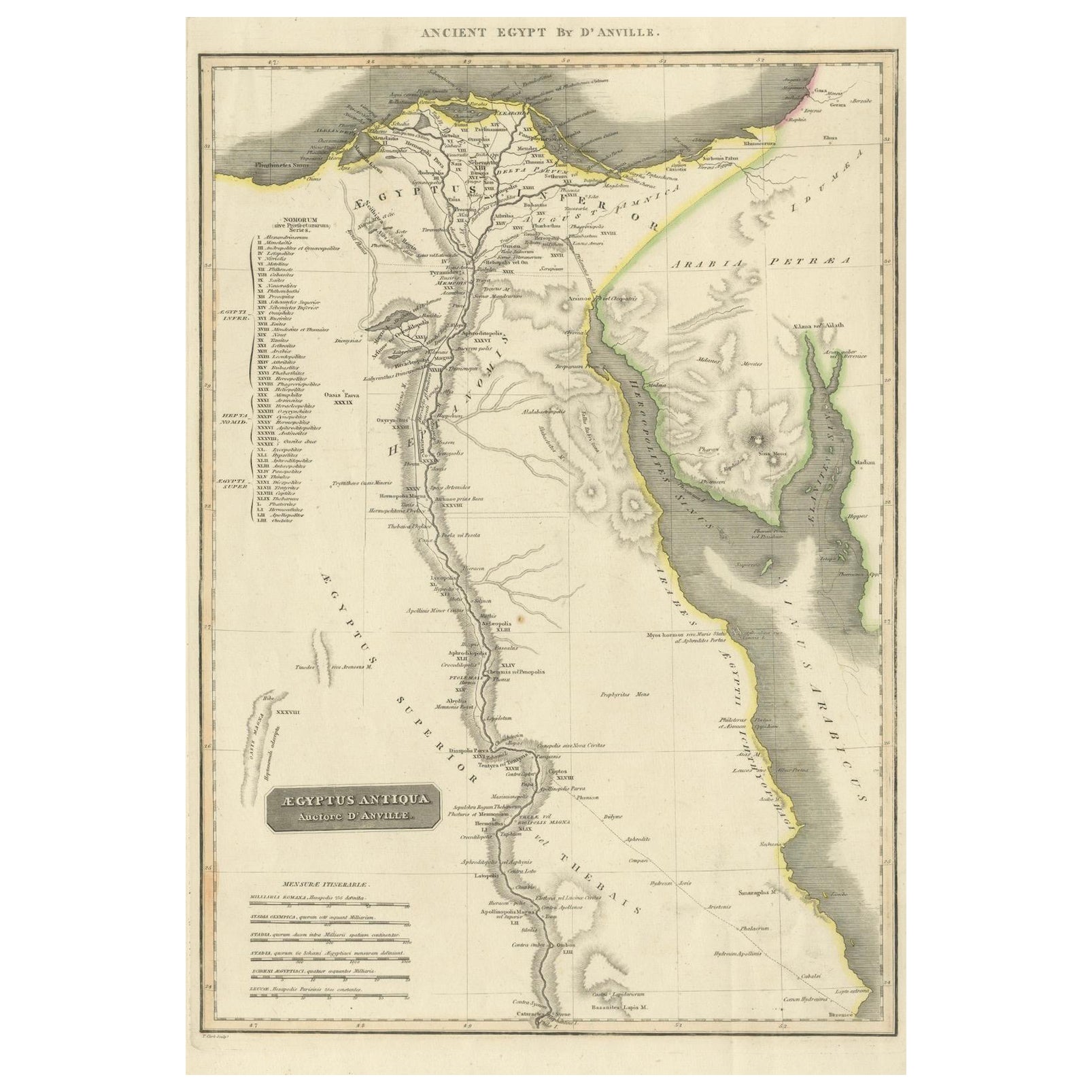
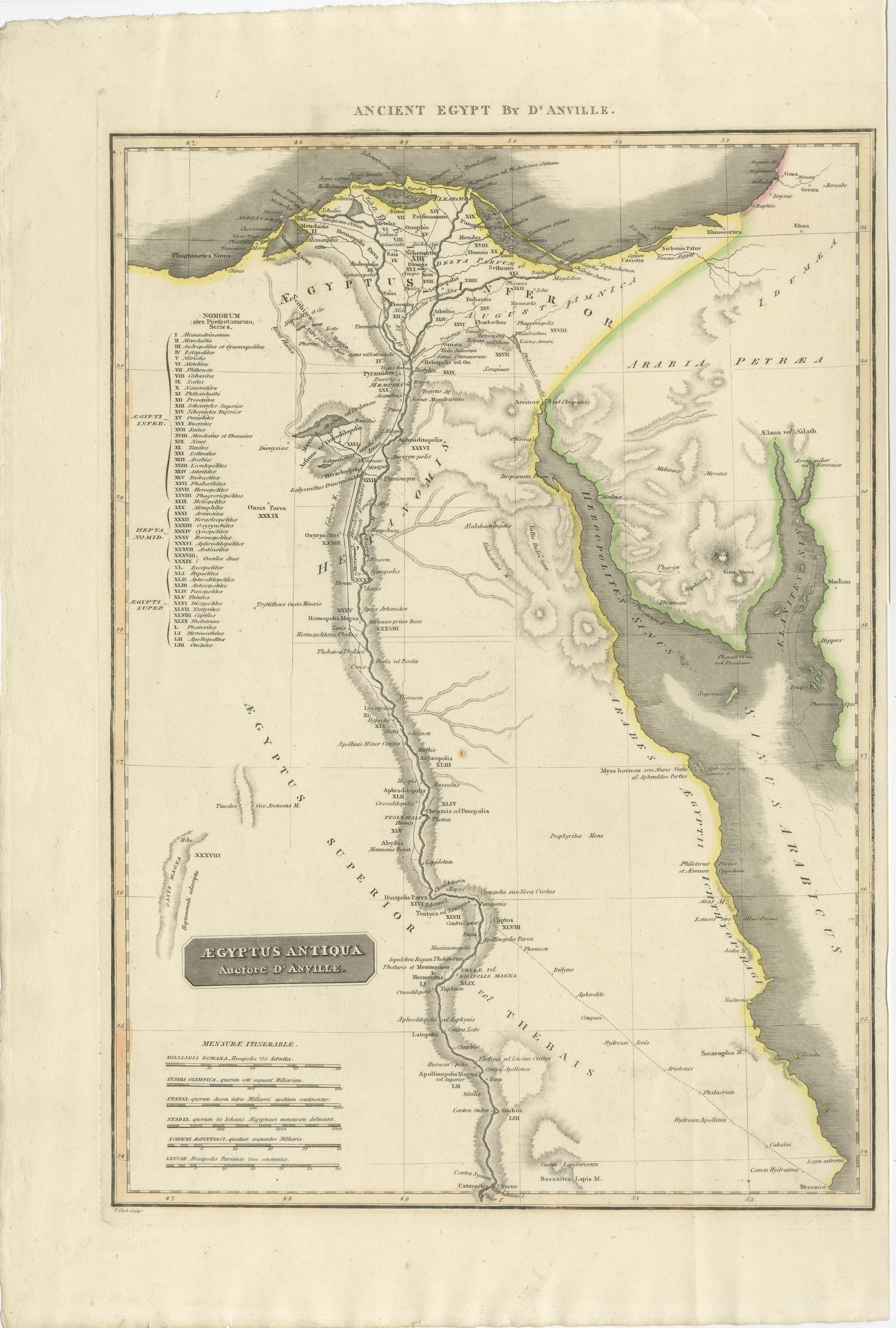
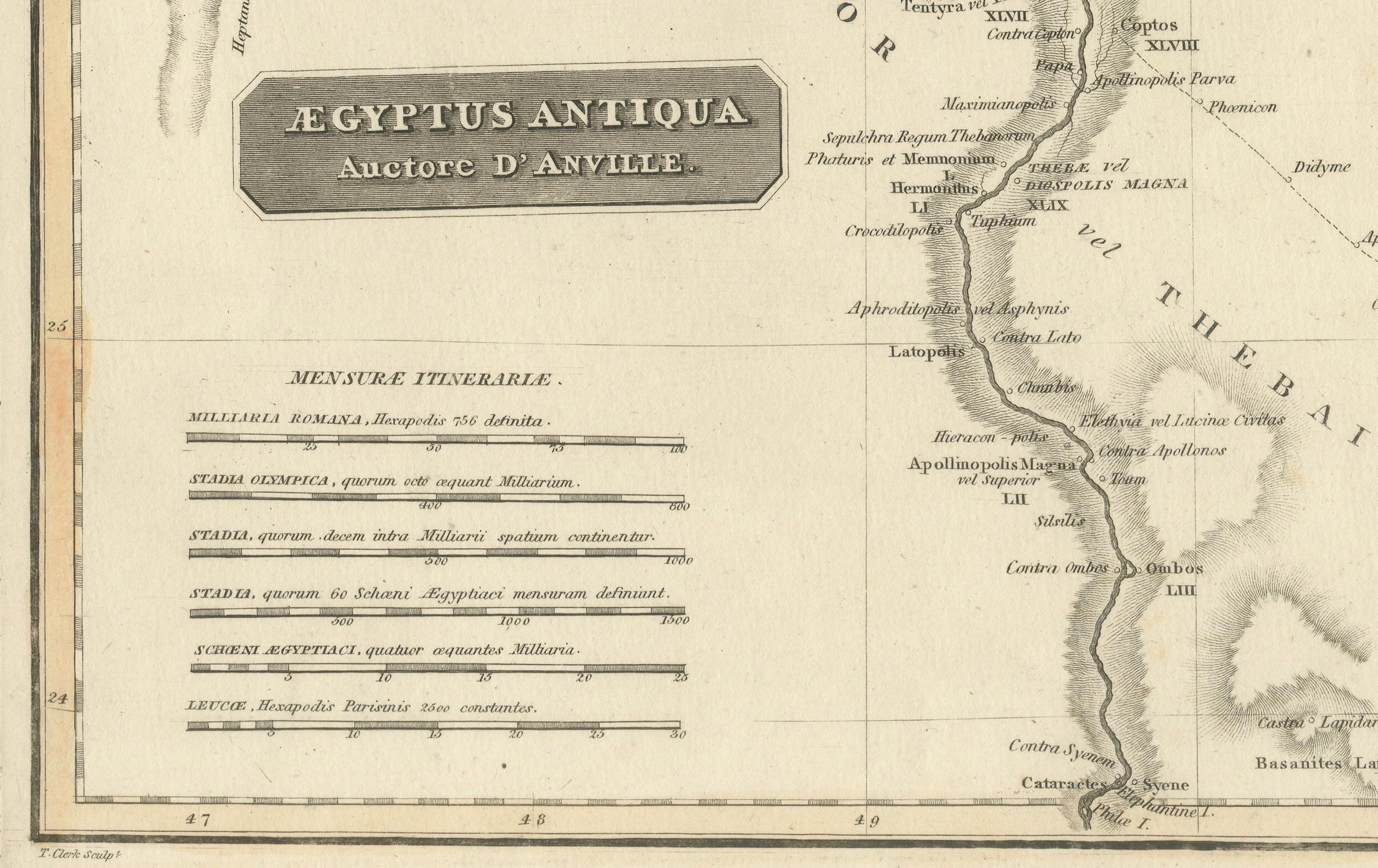
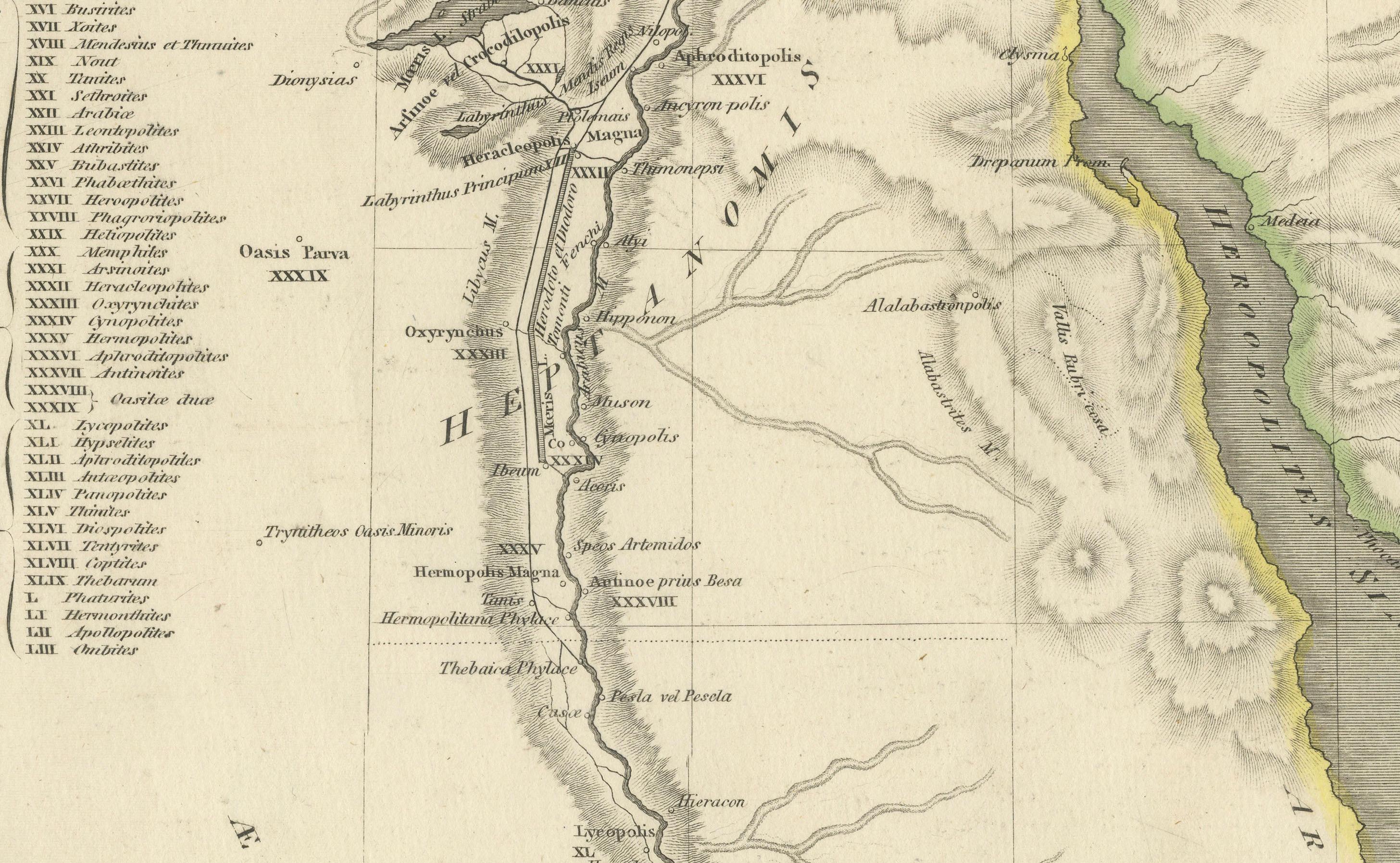
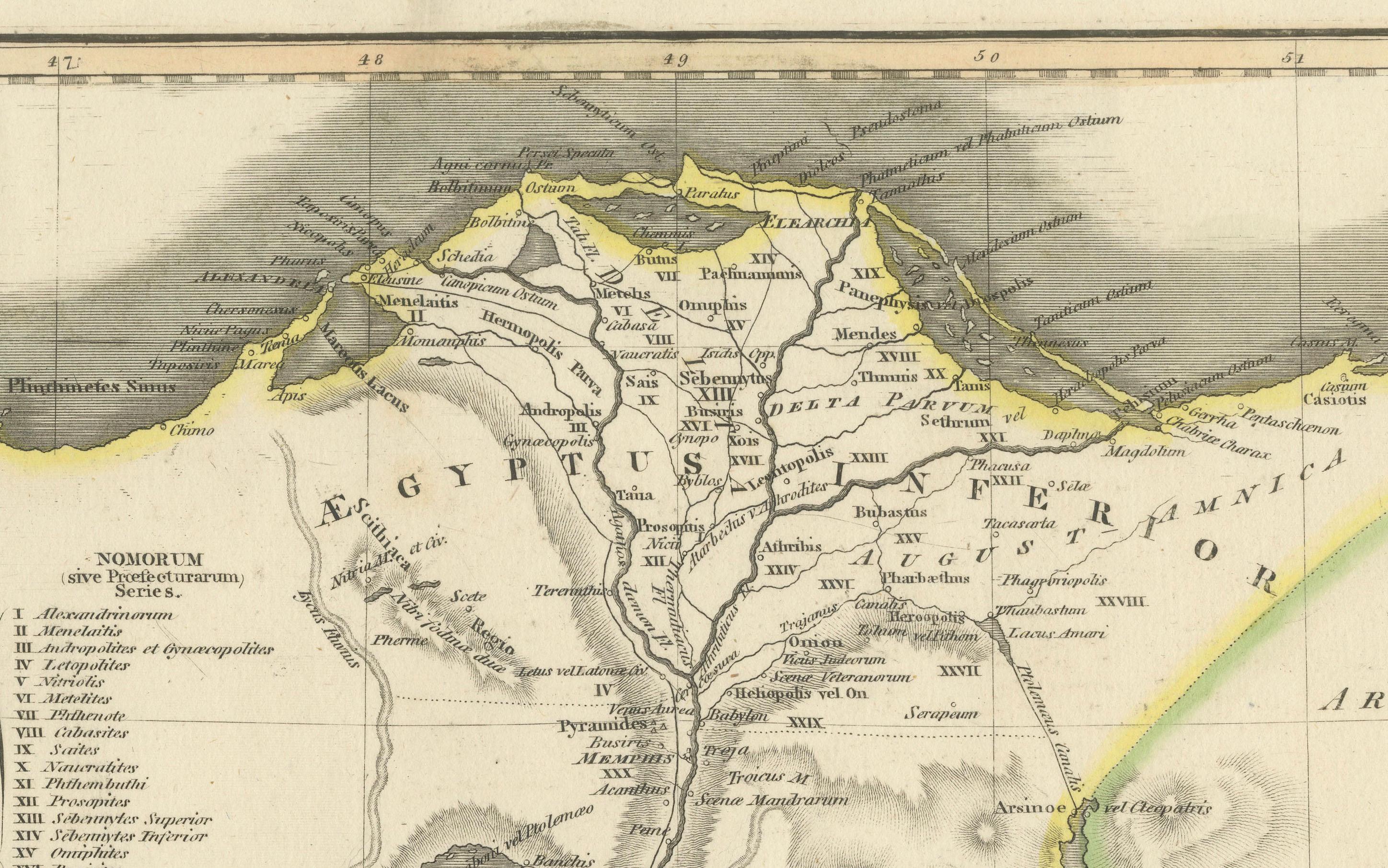
This finely engraved map depicts Ancient Egypt as understood through classical sources, extending along the Nile Valley from the Mediterranean Delta southward into Nubia, with adjacent regions of Arabia Petraea and the Red Sea coast. The map is titled “Ægyptus Antiqua” and was compiled by Jean-Baptiste Bourguignon d’Anville, one of the most influential and scholarly cartographers of the 18th century.
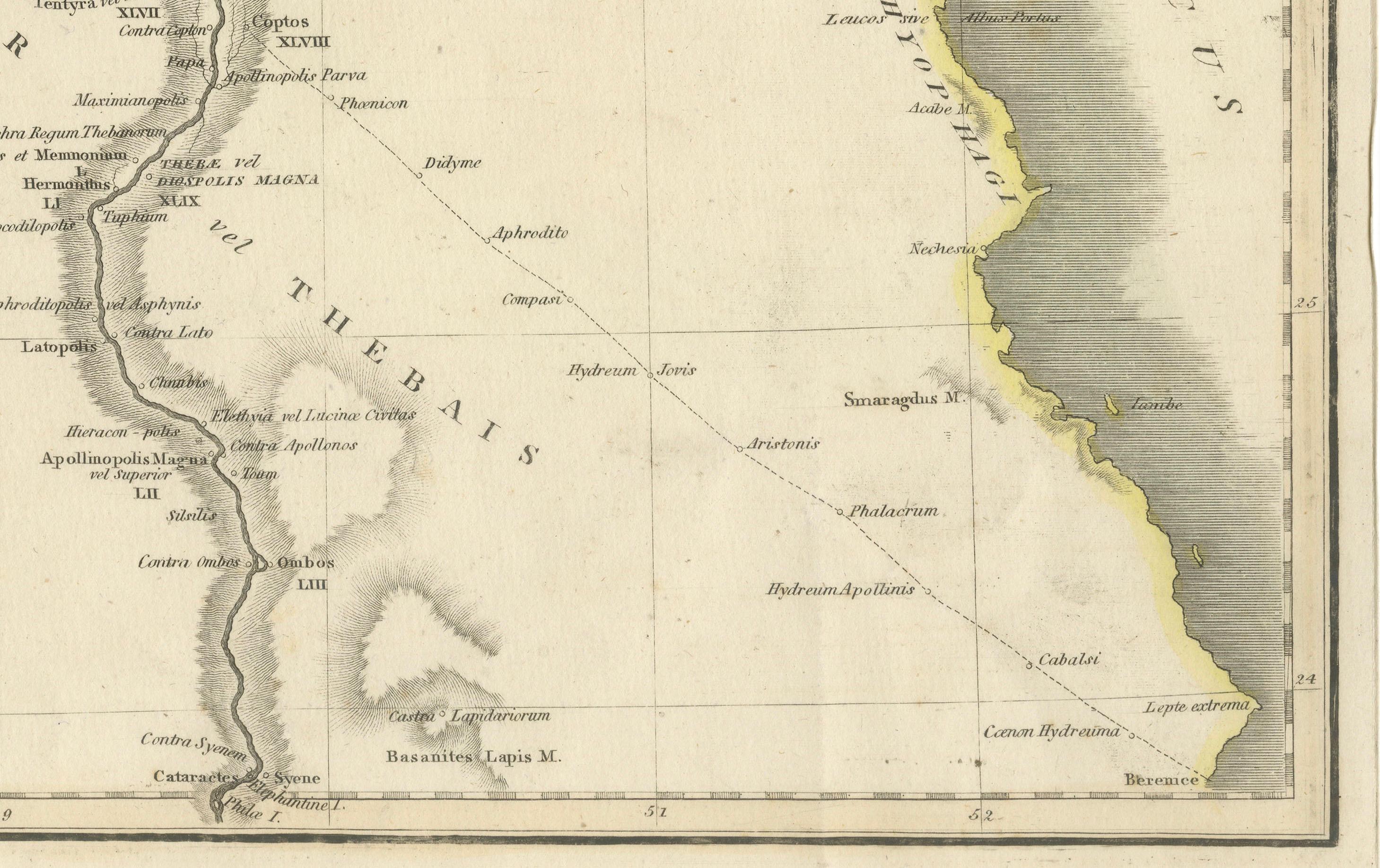
D’Anville’s approach marked a decisive shift away from speculative geography. Drawing on ancient Greek and Roman authors such as Herodotus, Strabo, Pliny, and Ptolemy, he sought to reconstruct the geography of antiquity with critical rigor. Cities, nomes, temples, and classical place names are carefully plotted along the Nile, offering a structured and historically grounded vision of Pharaonic Egypt as interpreted through classical antiquity.
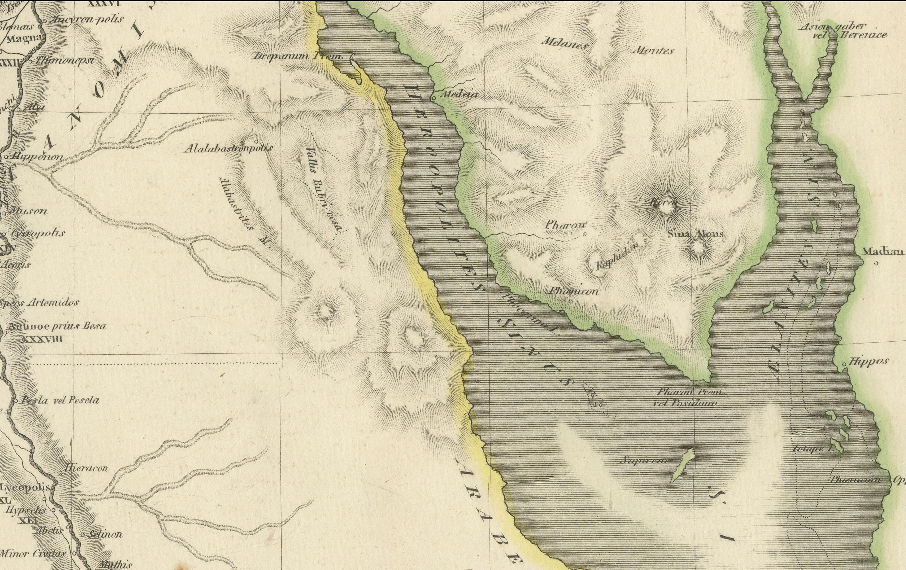
The Nile dominates the composition, rendered as the organizing spine of Egyptian civilization. Branches of the Delta, desert regions, and mountain ranges are delicately engraved, while subtle hand color highlights coastlines and regional boundaries without overwhelming the clarity of the map. To the east, the Red Sea and Arabian Peninsula provide geographical context for ancient trade routes and cultural exchange.
Visually, the map balances scholarship and elegance. The restrained engraving style, generous white space, and vertical format give it a calm, architectural presence, making it particularly attractive for interior display. It works equally well as a collector’s piece or as a refined statement map in both classic and contemporary settings.
This map is highly sought after by collectors of Egyptology, classical history, and Enlightenment cartography, and it pairs beautifully with other 18th-century maps of North Africa, the Mediterranean, or the ancient world.
Condition report
Good condition overall. Light age toning. Original outline hand color. Plate mark visible. Margins intact. Right margin tight. Strong paper.
Framing tips
A wide off-white or light sand-colored mat enhances the vertical composition and emphasizes the Nile’s flow through the map. A medium to dark wood frame or softly ebonized frame gives the piece a refined, museum-style appearance, suitable for both residential and hospitality interiors.
Technique: Copper engraving with contemporary outline hand color
Maker: Jean-Baptiste Bourguignon d’Anville, France, c.1765