About this sheet

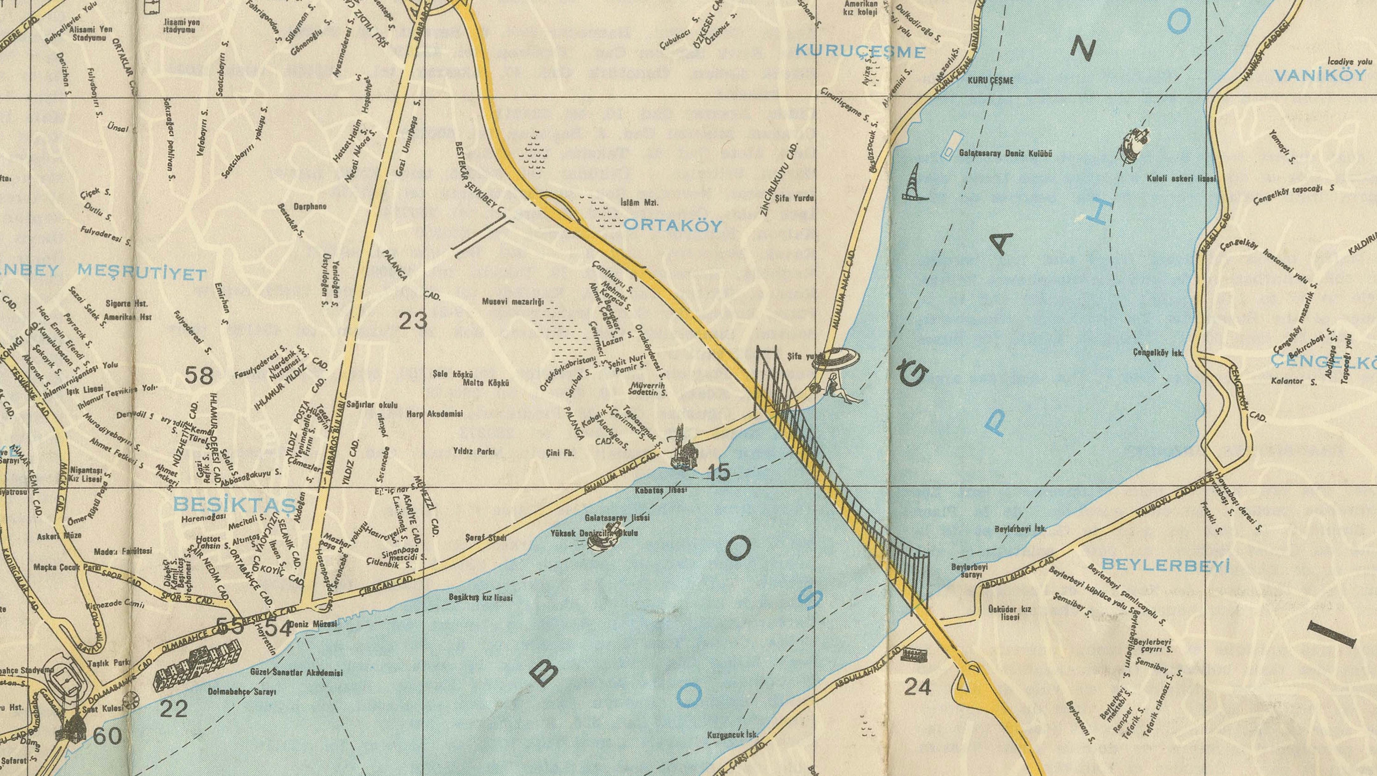
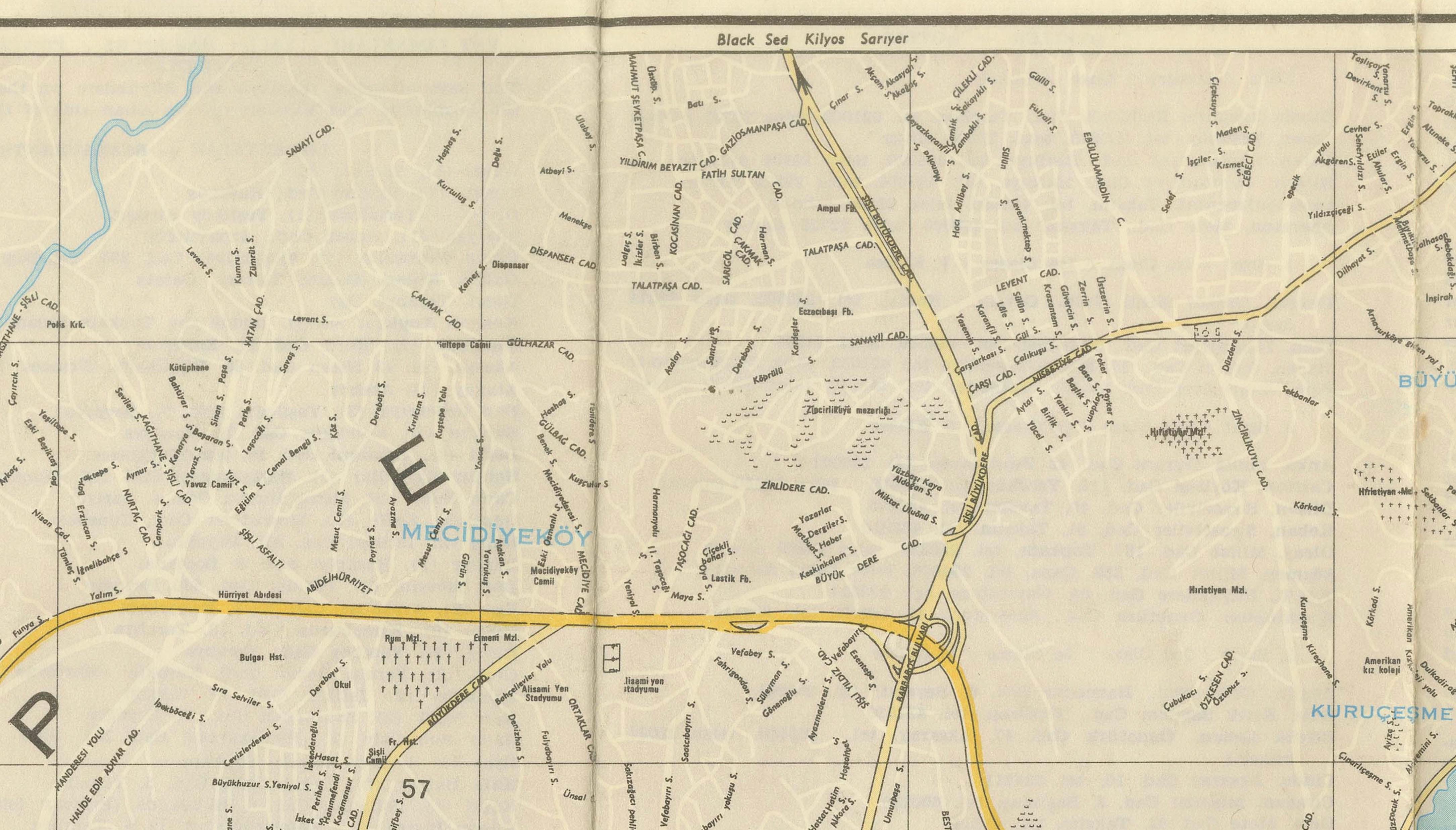
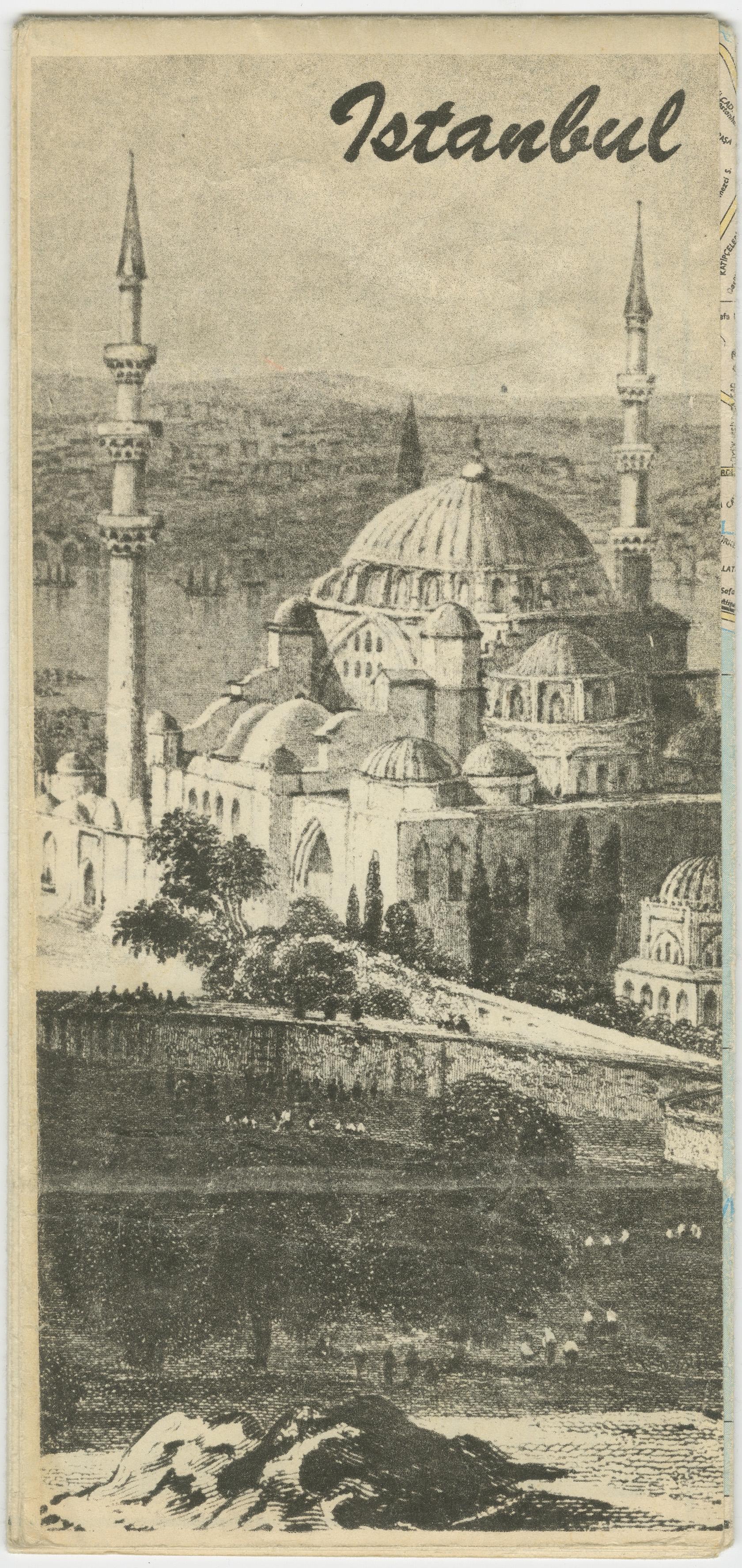
A highly decorative and detailed city map of Istanbul, depicting both the historic peninsula and the rapidly expanding modern districts on either side of the Bosphorus. Printed in Turkish and featuring an extensive index of public buildings, monuments, hotels, transportation hubs, and places of interest, the map captures the city during a transformative period of the twentieth century.
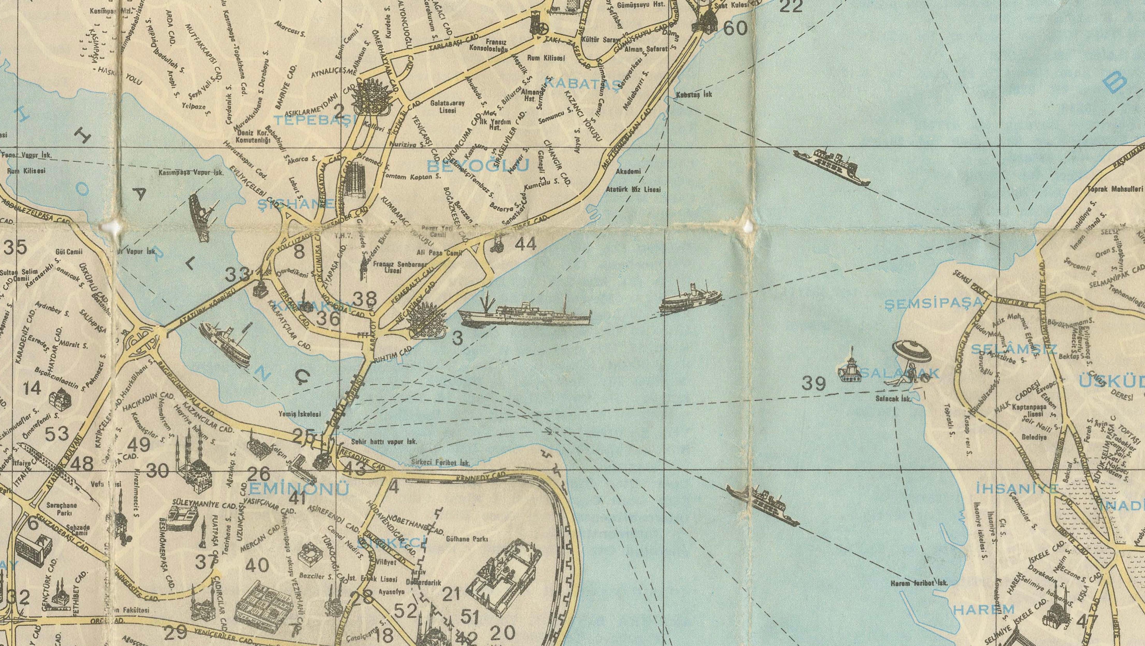
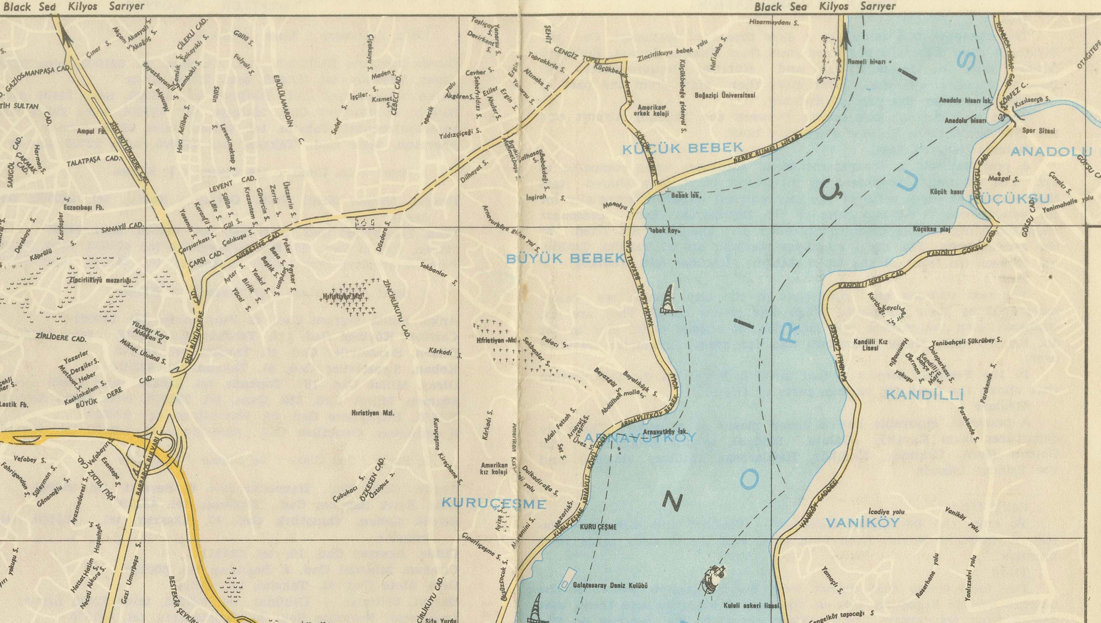
The plan includes the historic quarters of Eminönü, Fatih, Beyoğlu, Beşiktaş, Üsküdar, and Kadıköy, together with the Bosphorus villages stretching northward. An inset map at upper left illustrates the wider metropolitan setting around the Sea of Marmara, emphasizing Istanbul's unique position between Europe and Asia.
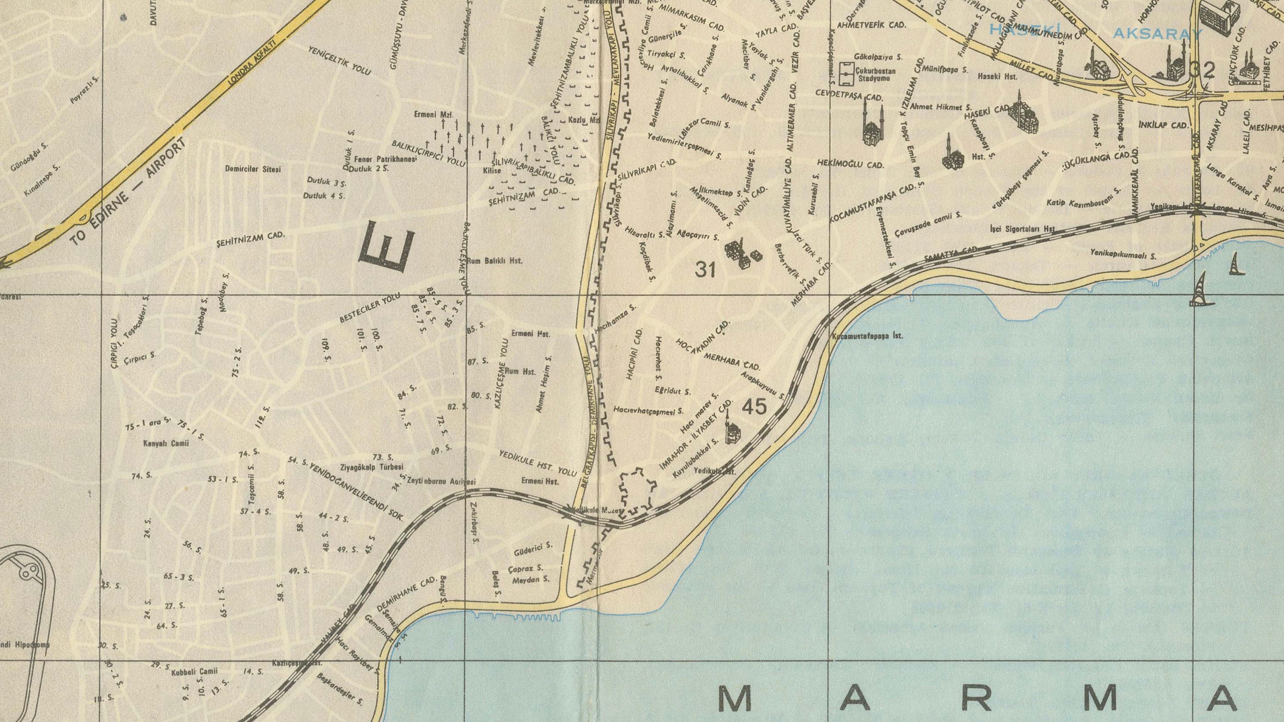
Designed for travelers and visitors, the map highlights principal roads, ferry routes, rail connections, and important civic institutions. The elegant graphic treatment of the waterways and the restrained palette lend the piece a refined modernist character while preserving its practical cartographic purpose.
Today, such maps offer a fascinating document of Istanbul before its explosive late twentieth-century growth, preserving a cityscape in which Ottoman heritage, republican modernization, and international tourism intersected.
An exceptional decorative piece for collectors of Middle Eastern cartography, urban history, Turkish travel memorabilia, or twentieth-century design.
Presented unframed. Framed images are for inspiration only. Colors and proportions shown in photographs may vary slightly from the original work.
Origin: Turkey
Date: Mid-20th century, circa 1950–1965
Title on Map: Istanbul – Ölçek 1:26.500
Medium: Offset-printed folding tourist map on paper
Dimensions:
Sheet: approximately 68 x 48 cm (26.8 x 18.9 in.)
Condition:
Good original condition with the expected folds from use as issued. Minor age toning, light wear along fold intersections, and occasional small handling marks. Overall clean, well-preserved, and highly suitable for framing.
Keywords:
Istanbul map, Constantinople map, Bosphorus map, Turkey cartography, Turkish tourist map, Marmara Sea, Beyoğlu, Üsküdar, Kadıköy, Ottoman heritage, urban planning, mid-century design, travel ephemera, vintage city plan, Middle East cartography, decorative map, original folding map, Turkish history, Bosphorus villages, twentieth-century cartography.