About this sheet
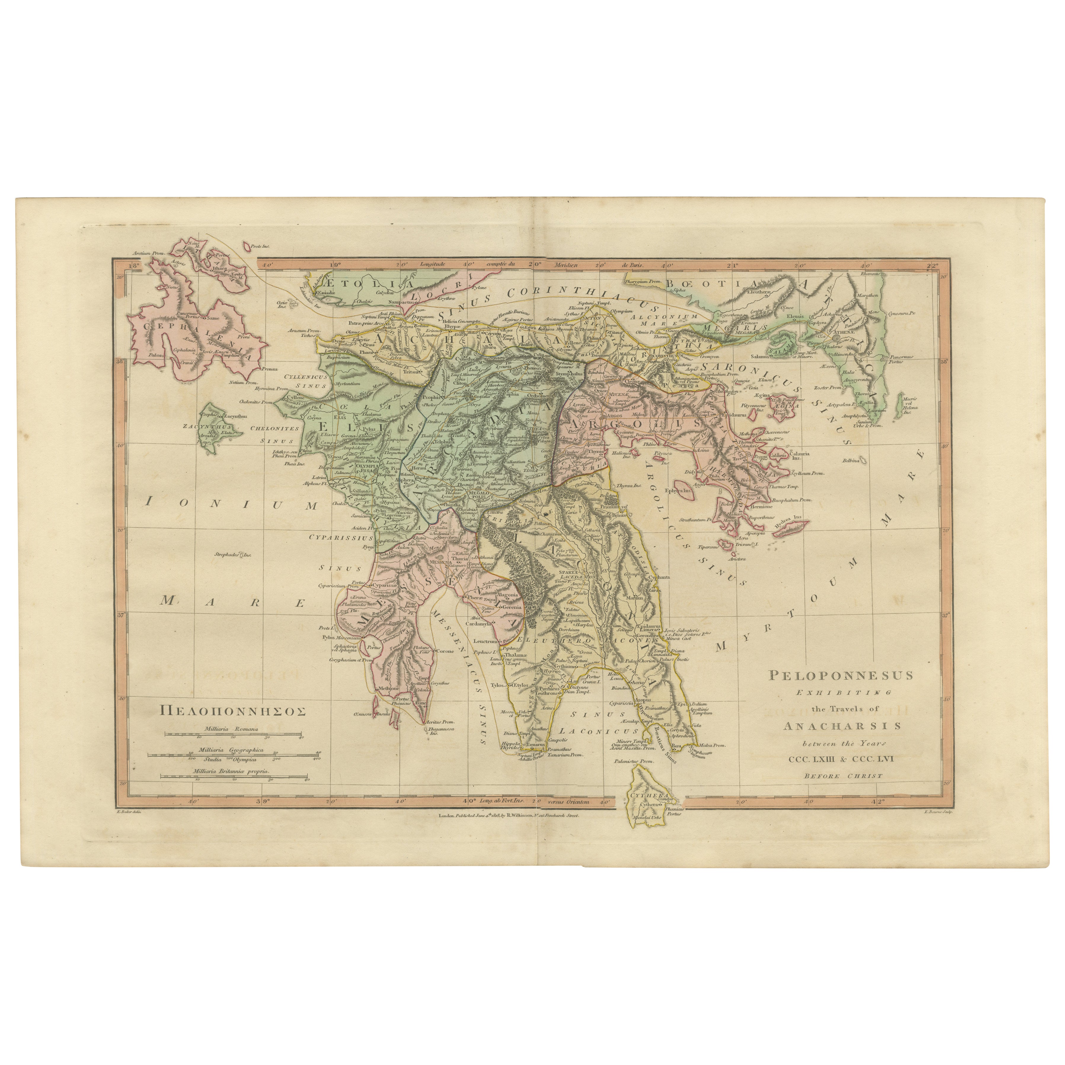
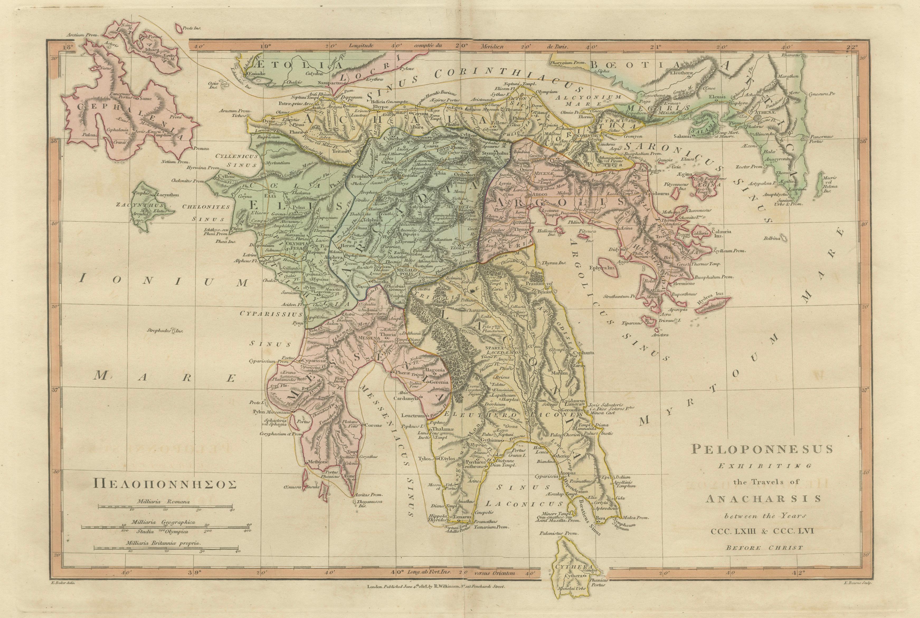
Peloponnesus Classical Map — Travels of Anacharsis Greece, Wilkinson c1818
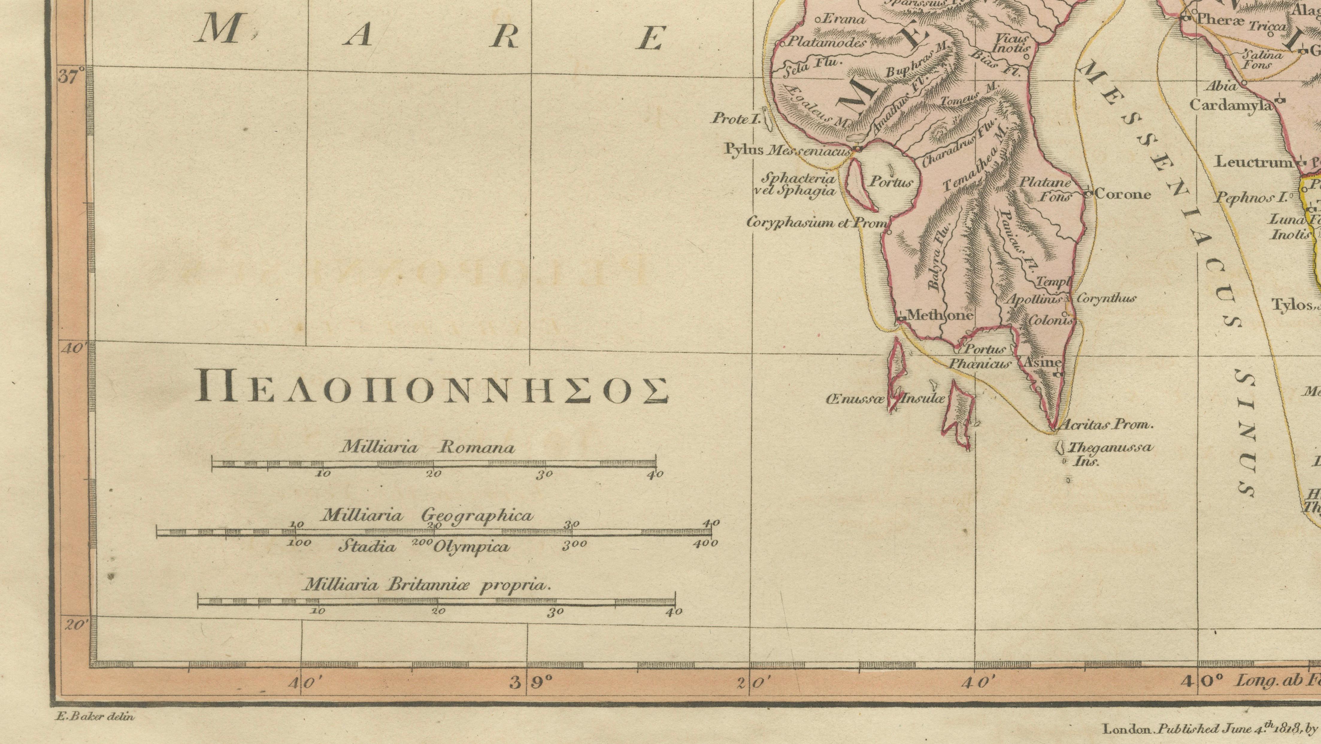
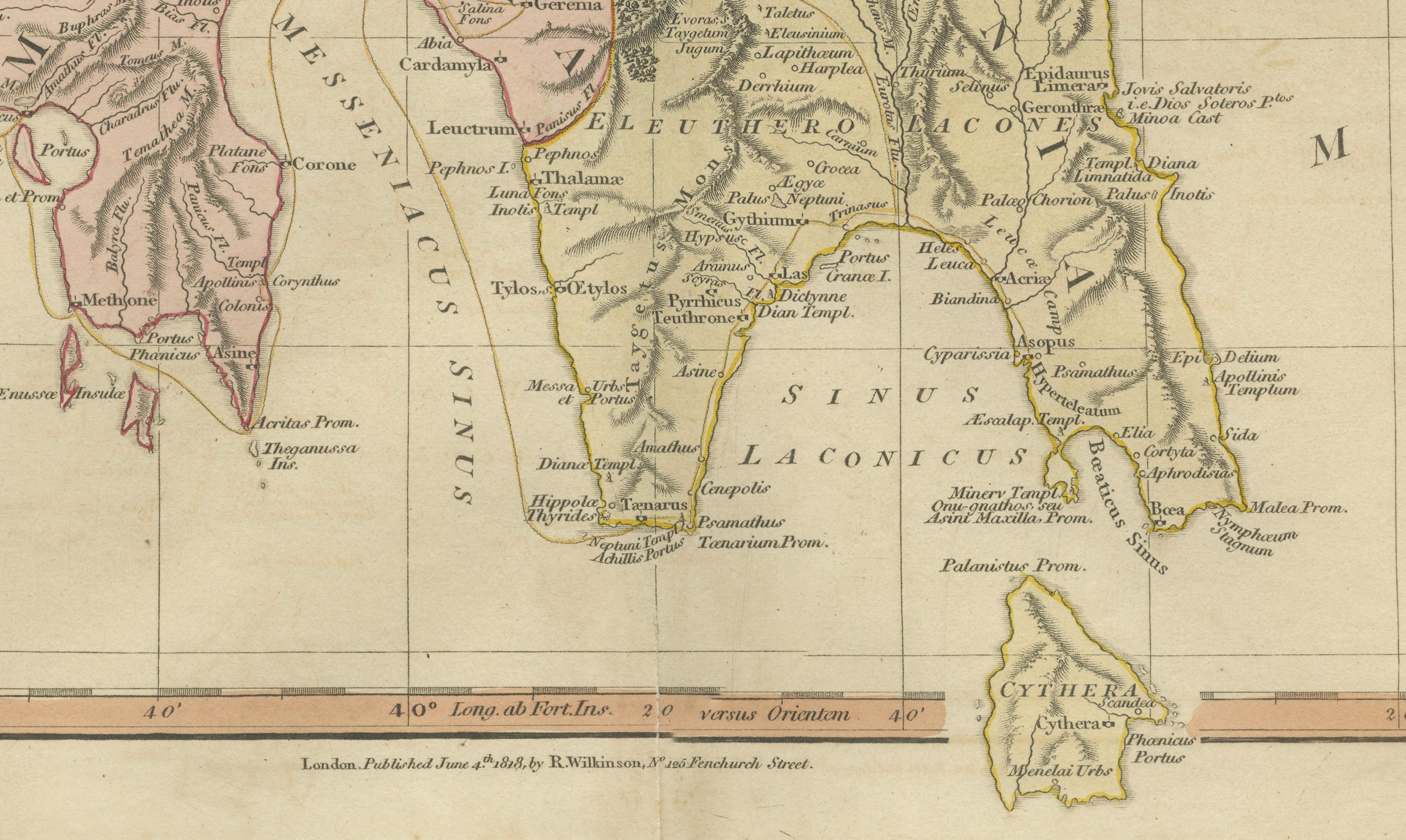
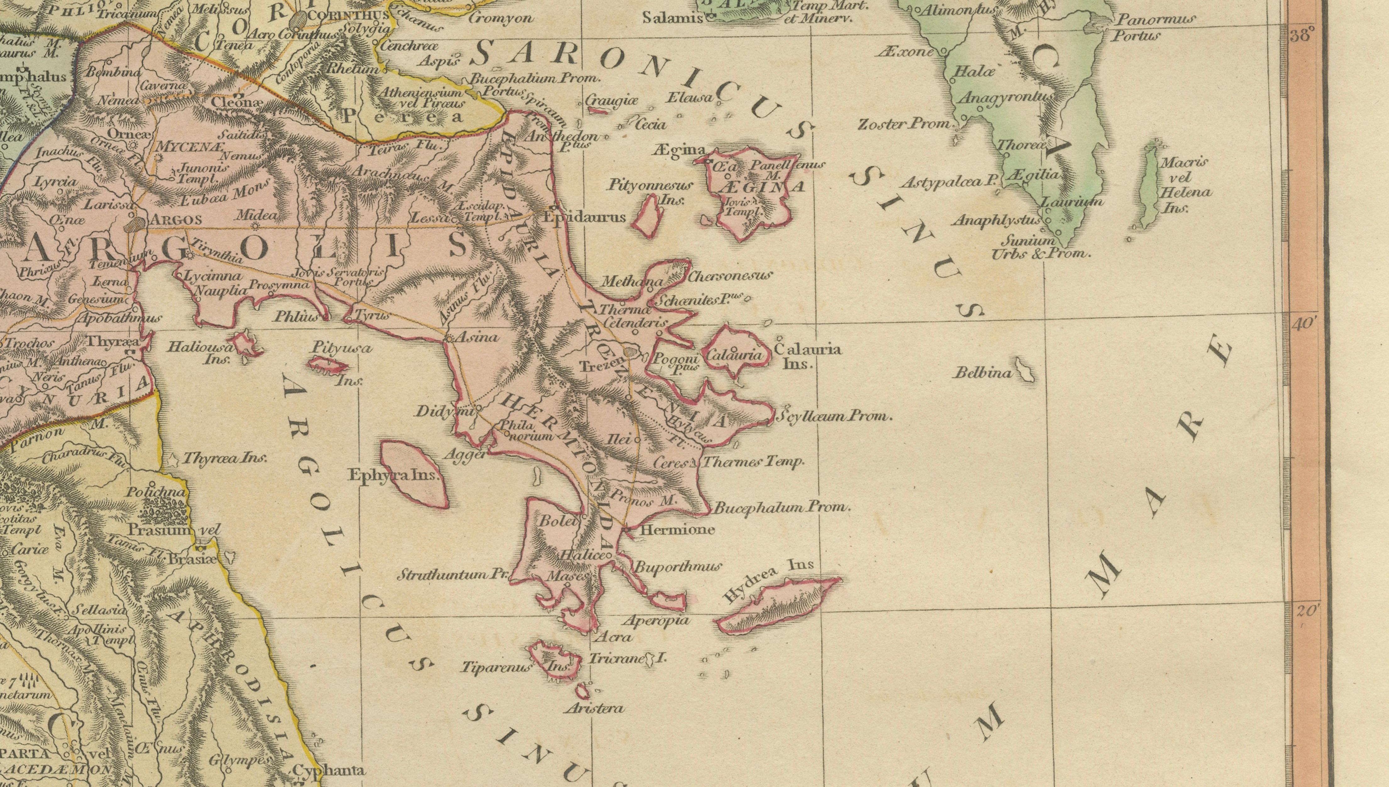
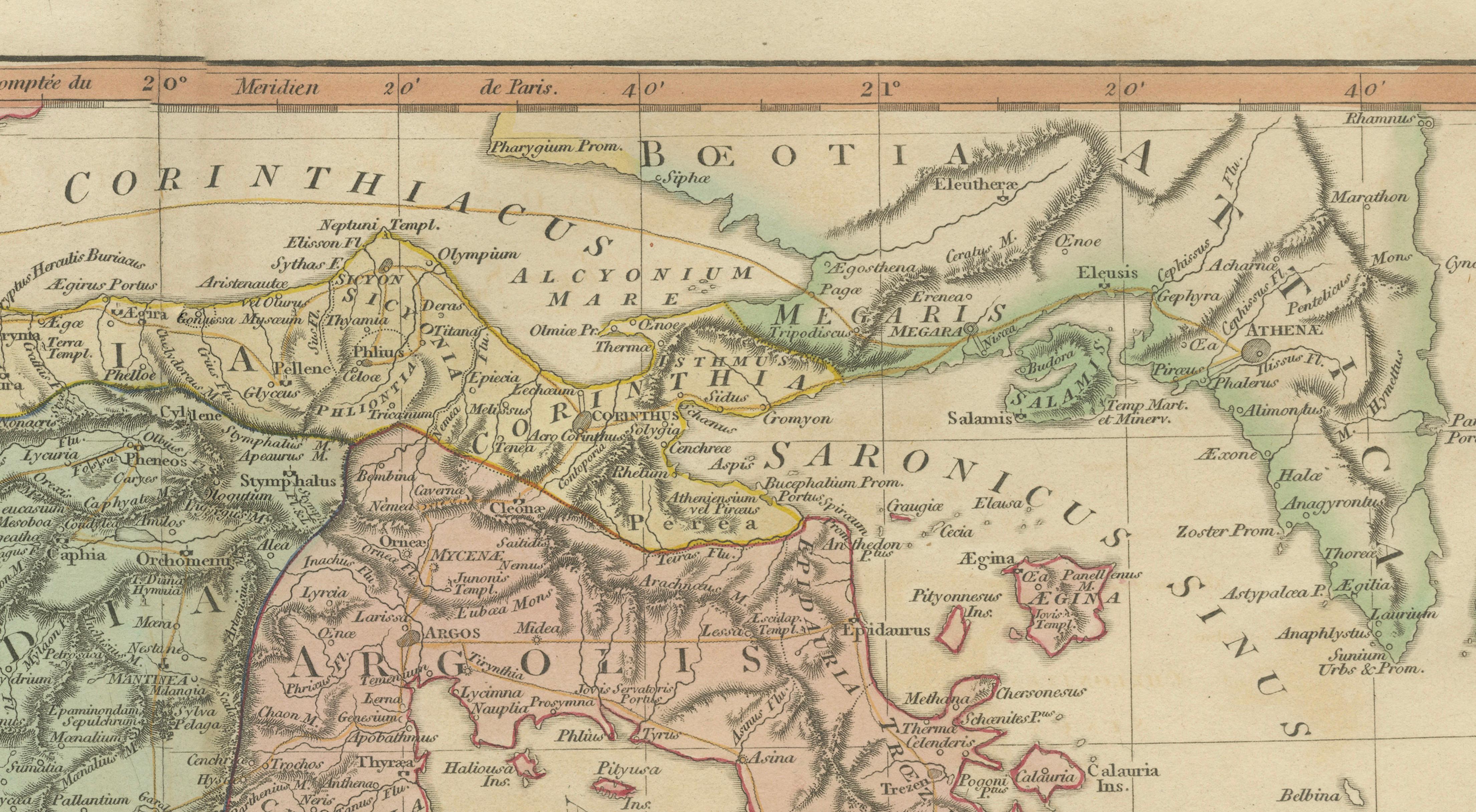
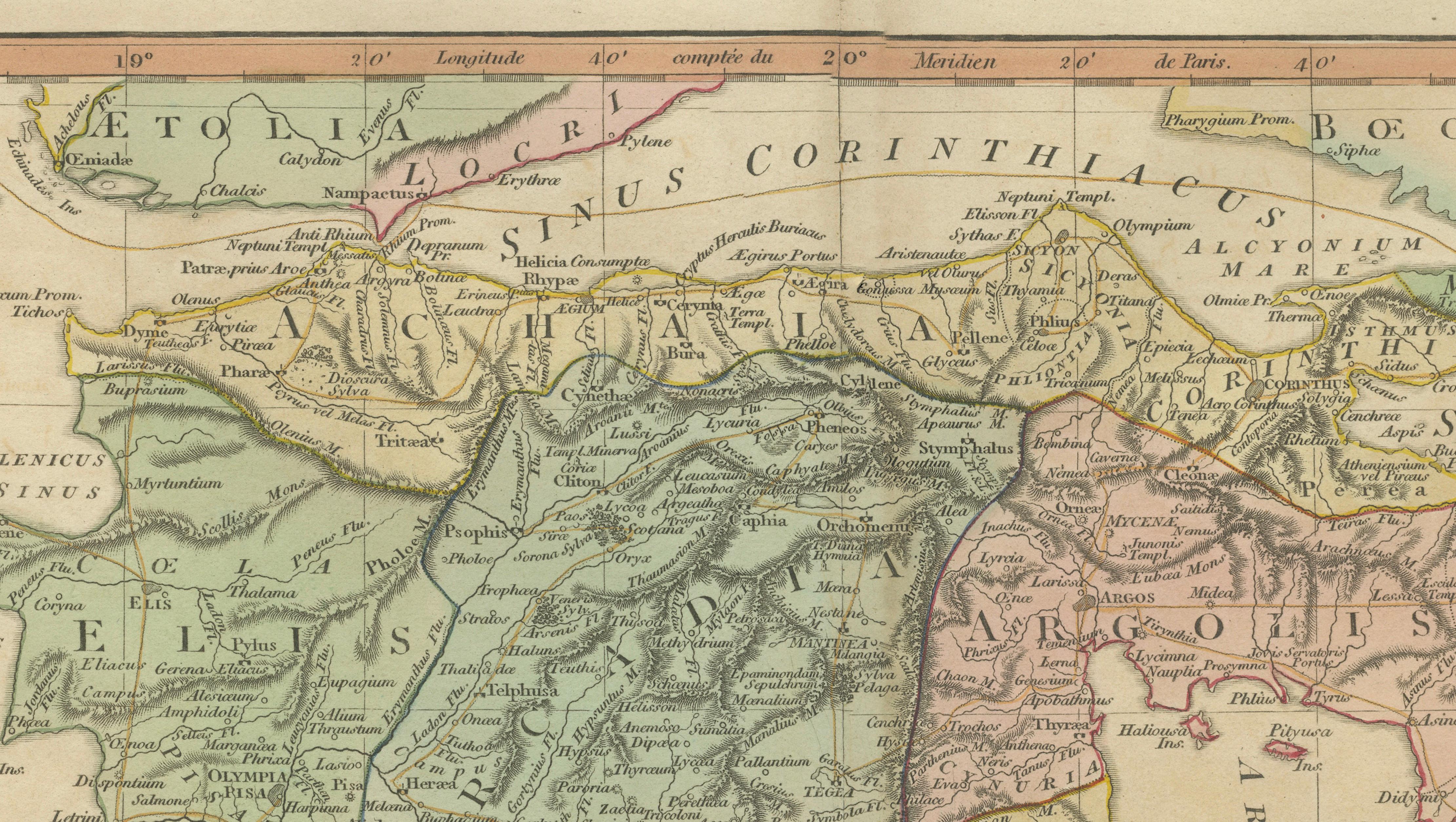
A finely engraved and hand-colored classical map of the Peloponnesus, published in London by Robert Wilkinson around 1827, illustrating the ancient geography of southern Greece with reference to the celebrated travels of Anacharsis. Combining historical scholarship with elegant early nineteenth-century cartographic design, the map presents the Peloponnesian peninsula in remarkable detail, reflecting the antiquarian fascination with classical antiquity during the Georgian and early Victorian periods.
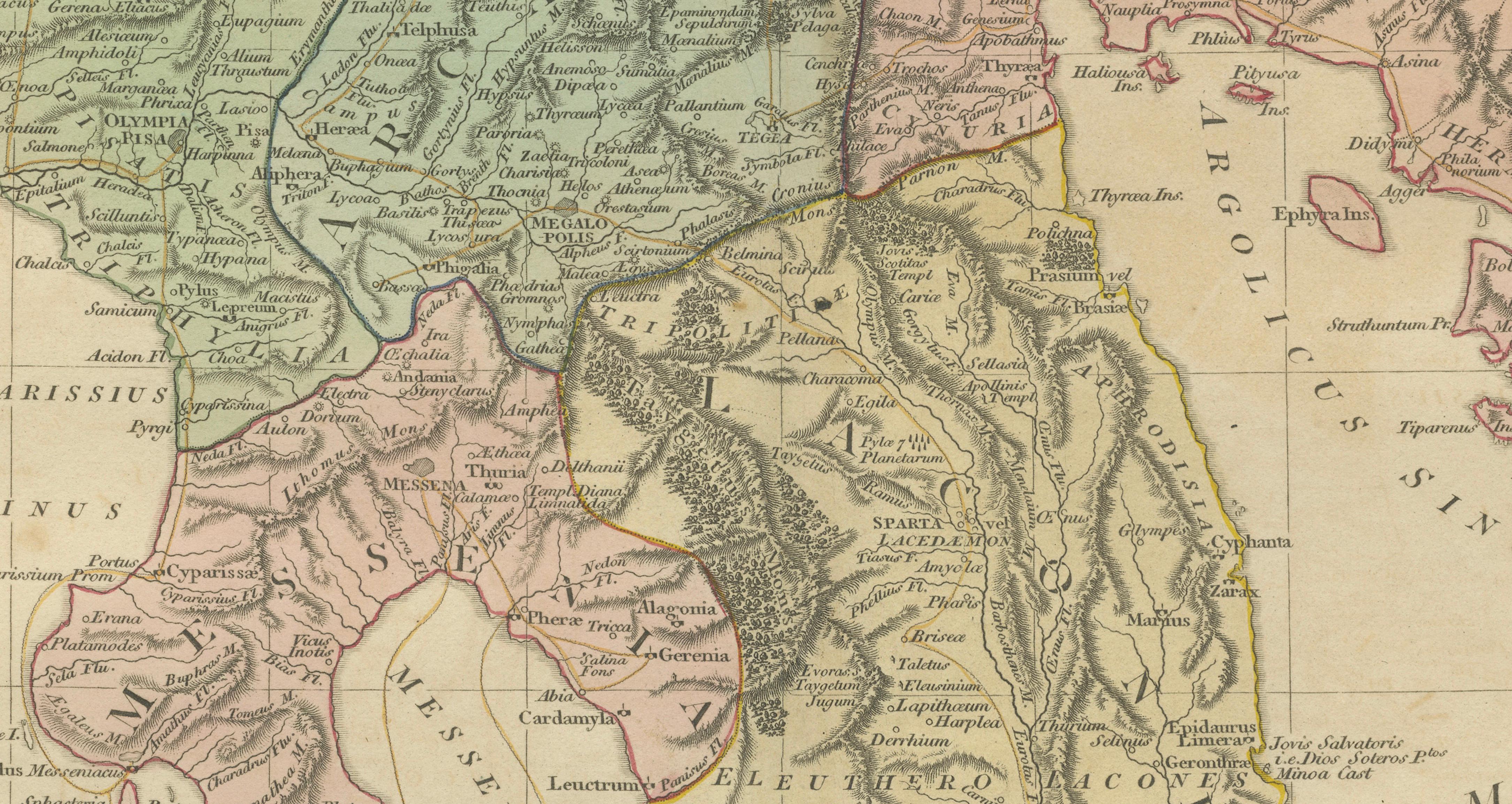
The map depicts the Peloponnesus with clearly delineated ancient regions including Achaia, Elis, Arcadia, Argolis, Laconia, and Messenia, each rendered in delicate original hand coloring. Major ancient cities and landmarks appear throughout, such as Sparta, Corinth, Argos, Megalopolis, Mantinea, Olympia, and Mycenae, providing insight into the political and cultural geography of ancient Greece. Mountain ranges, river systems, and coastal features are engraved with refined precision, emphasizing both the rugged terrain and the strategic importance of the peninsula.
The reference to the “Travels of Anacharsis” relates to the popular eighteenth-century historical novel by Jean-Jacques Barthélemy, which presented a fictionalized journey through classical Greece and inspired a series of scholarly maps visualizing the ancient world. Wilkinson’s edition reflects this Enlightenment-era revival of classical scholarship, combining historical research with decorative appeal suitable for both collectors and interior display.
The balanced layout, fine typography, and soft pastel coloring typical of Wilkinson’s classical atlas maps give the piece strong decorative presence while maintaining historical authenticity. It works equally well as a collector’s map or as an elegant design object in a study, library, or gallery setting.
Condition: Good antique condition with age-related toning and light edge wear. Central fold visible as issued. Minor marginal wear consistent with early nineteenth-century paper. Plate mark visible.
Framing tips: Display in a dark walnut or classical gilt frame with a wide ivory mat. A generous mat border enhances the map’s horizontal composition and emphasizes the delicate coloring of the provincial divisions.
Keyword block:
Peloponnesus antiquity, Peloponnesus ancient map, travels of Anacharsis map, Sparta Laconia, Argos Argolis, Corinthus, Arcadia antiquity, Achaia classical Greece, Elis Olympia, Messenia, Megalopolis, Mantinea, Mycenae, classical Greek geography, ancient Greek city states map, Ionian Sea, Gulf of Corinth, Mediterranean antiquity cartography, classical atlas engraving, Wilkinson London map, Enlightenment classical revival, antique Greece map decorative.
Technique: Hand-colored engraving
Maker: Robert Wilkinson, London, circa 1827