maps-prints.com
✦
Black Friday Sale
Friday 20 to Monday 30 November: up to 30% off original antique maps and prints
The terms
- Up to 30% off selected original antique maps and prints. Every piece is an original, printed in its own time; none is a reproduction.
- The sale runs from Friday 20 November to Monday 30 November. Sale prices shown here apply from Friday 20 November; until then pieces are sold at their regular price.
- Free FedEx shipping on qualifying orders placed on our own websites: USA, Canada, UK and Europe over $500 / €450; rest of the world over $750 / €675. Smaller orders pay our normal shipping rate.
- Orders placed from 15 to 30 November ship from 1 December, in time for Christmas. Our shipping partner is InXpress.
- Each piece is unique, so the sale is while stock lasts.
Collection:AllAmericanSea chartsMilitaryNatural historyFashionArchitectureBotanicalSacredEast Indies
Sale prices apply from Friday 20 November. Save the pieces you like with the heart and come back on Friday.
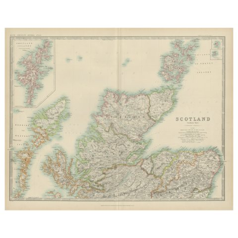 Antique Map of Scotland 'Northern' by Johnston, '1909'
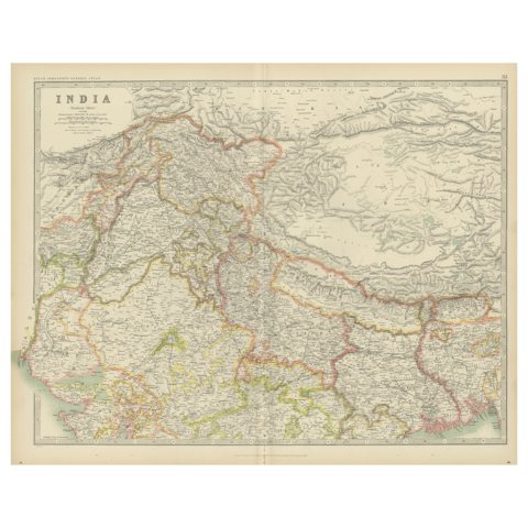 Antique Map of India 'Northern' by Johnston '1909'
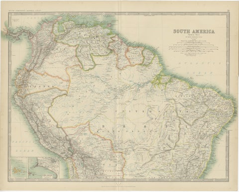 Exploring South America's North: Antique Map from the Royal Atlas of 1909
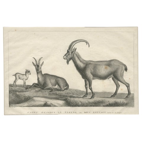 Antique Print of a Wild Goat by Miger 'c.1805'
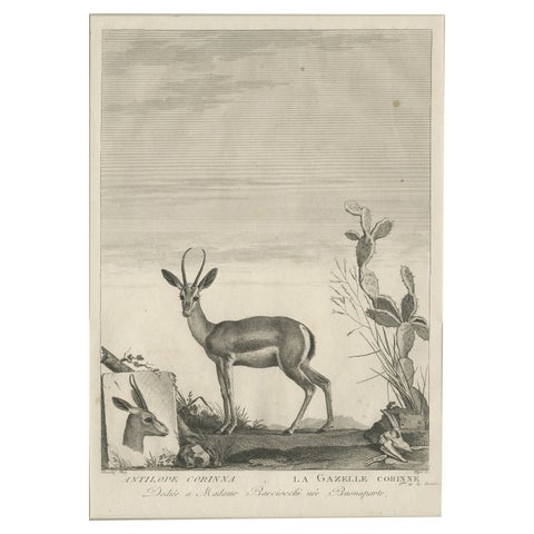 Early 19th Century Antique Print of a Gazelle Animal by Miger 'c.1805'
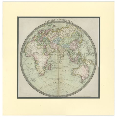 Antique Map of the Eastern Hemisphere by Teesdale, '1831'
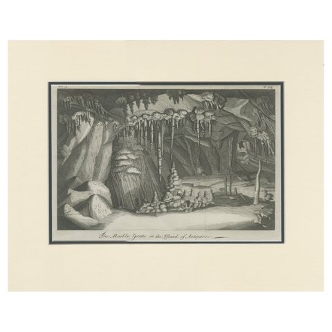 Antique Print of the Cave on the Island of Antiparos 'c.1740'
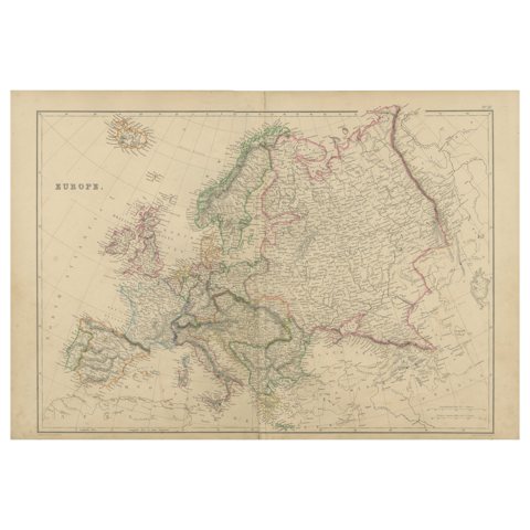 Antique Map of Europe by W. G. Blackie, 1859
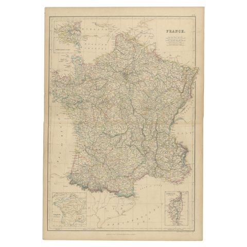 1859 Classic Map of France: Blackie's Imperial Geographic Masterpiece
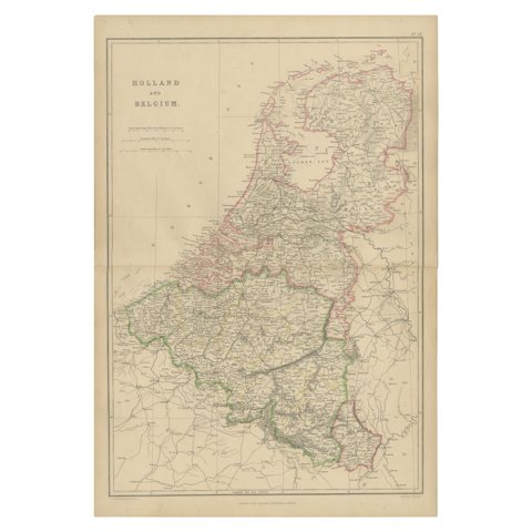 1859 Vintage Map of Holland and Belgium: Blackie's Imperial Geographic Insight
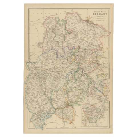 1859 Detailed Map of North West Germany with Bavaria Inset - Blackie's Atlas
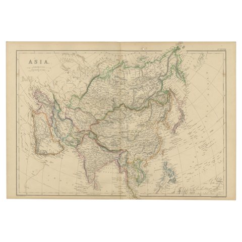 Original 1859 Map of Asia from W.G. Blackie's Imperial Atlas of Modern Geography
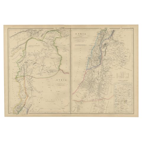 The Divided Realms of Syria - North and South as Seen in 1859 by W. G. Blackie
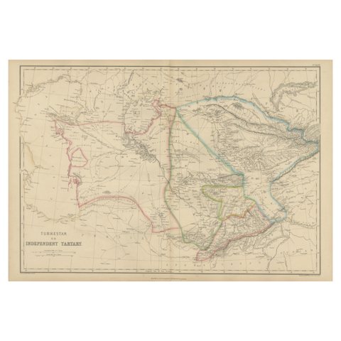 Antique Map of Independent Tartary by W. G. Blackie, 1859
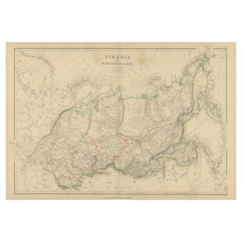 Antique Map of Siberia, Russia, 1859
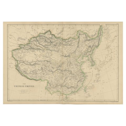 Antique Map of the Chinese Empire by W. G. Blackie, 1859
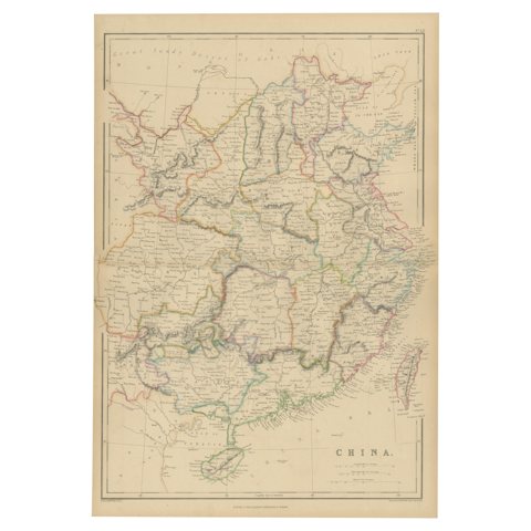 Antique Map of China by W. G. Blackie, 1859
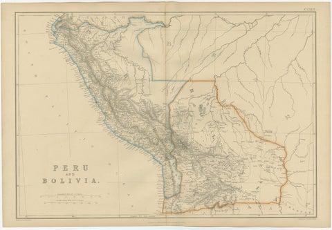 Antique Map of Peru and Bolivia by W. G. Blackie, 1859
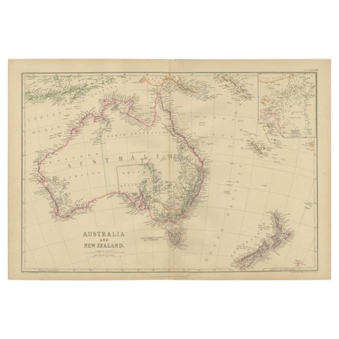 Antique Map of Australia and New Zealand by W. G. Blackie, 1859
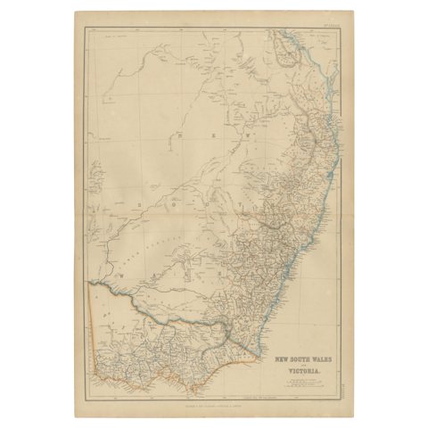 Antique Map of New South Wales and Victoria by W. G. Blackie, 1859
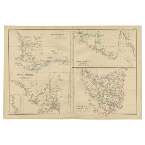 Antique Map of West, South, North Australia and Tasmania by W. G. Blackie, 1859
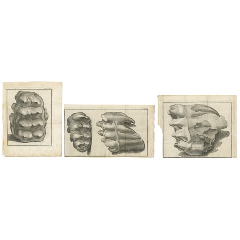 Set of 3 Antique Prints of Mammoth Fossils 'c.1810'
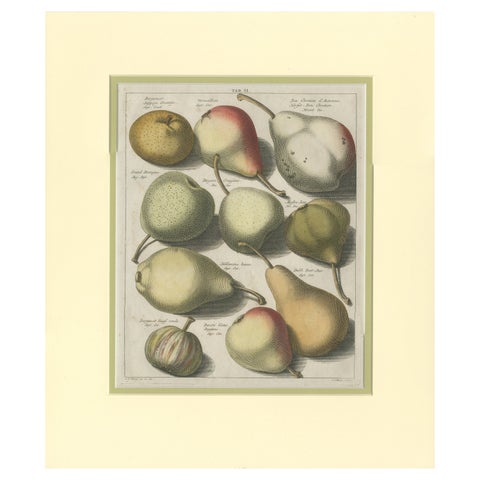 Tab II Antique Print of Various Pears by Knoop '1758'
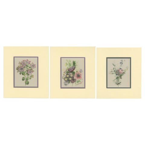 Vintage Botanical Treasures: Set of Three Flower Prints, circa 1930
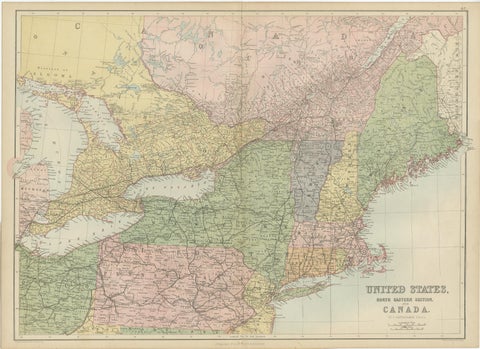 Antique Map of The United States and Canada by A & C. Black, 1870
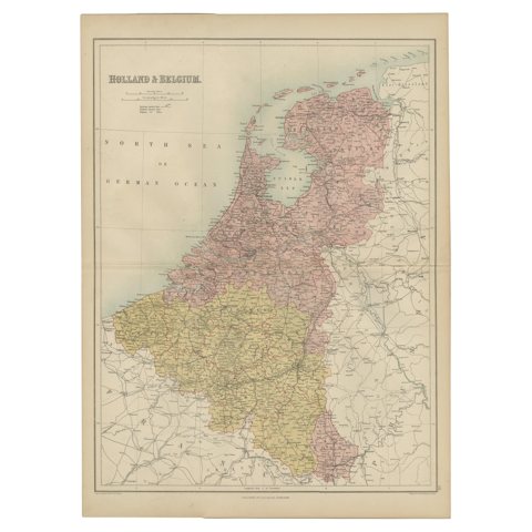 Antique Map of The Netherlands and Belgium by A & C, Black, 1870
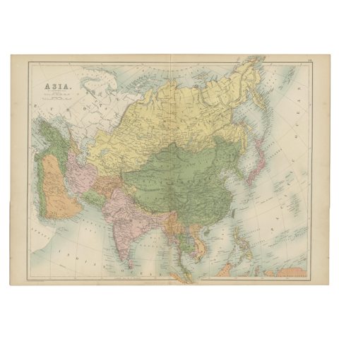 Antique Map of Asia by A & C, Black, 1870
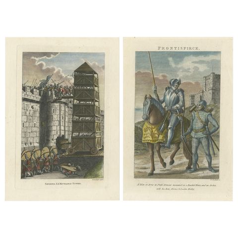 Set of 2 Antique Military Prints by Grose '1812'
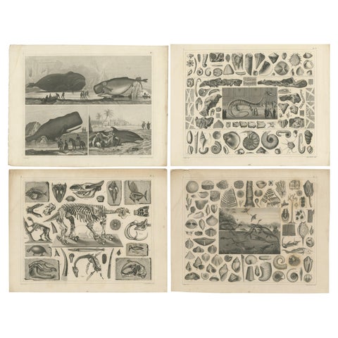 Set of 4 Antique Prints of various Marine Life and Fossils by Heck 'c.1850'
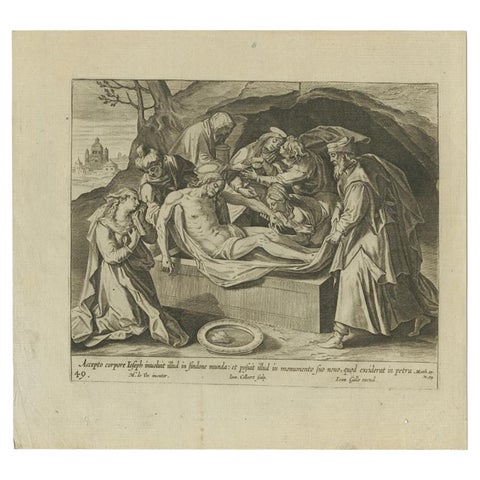 Antique Print of the Entombment of Christ by Collaert, 1784
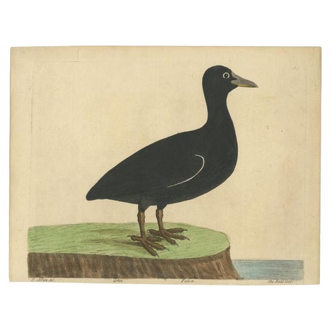 Antique Bird Print of the Eurasian or Australian Coot by Albin, c.1738
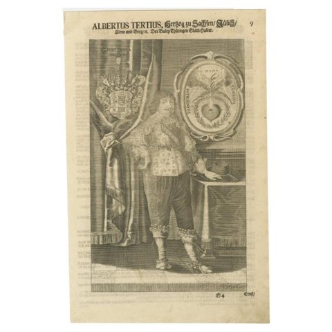 Full Length Portrait of Albert III, Duke of Saxony, Jülich, Cleve and Berg, 1708
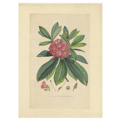 Antique Botany Print of The Rhododendron Barbatum by Van Houtte, 1849
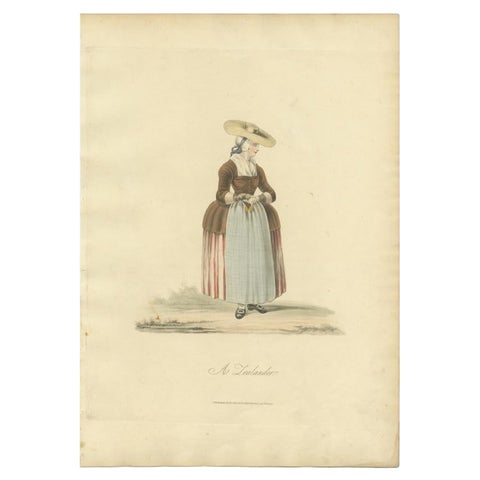 Antique Costume Print, Depicting a Dutch Woman in Zeeland, 1817
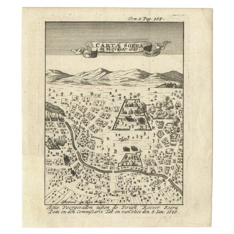 Antique Map of Carta Soura, Headquarter of the Javanese Nobility, 1706
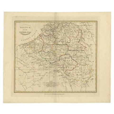 Antique Map of Belgium and Part of the Southern Netherlands, 1810
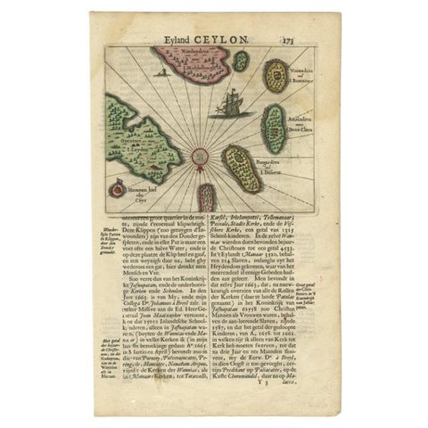 Antique 17th Century Map of the Islands Near Ceylon or Sri Lanka, 1672
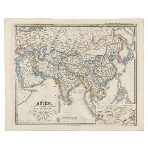 Old Map of Asia Depicting Asia in the 6th through the 9th Centuries, ca. 1855
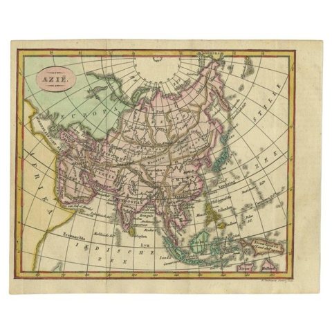 Small Antique Map of the Asian Continent, 1841
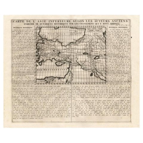 Detailed Antique Map of Asia Minor & Cyprus with Historical Notes, 1732
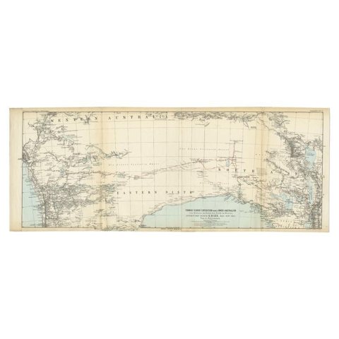 Antique Exploration Map of Australia from Beltana to Perth, 1876
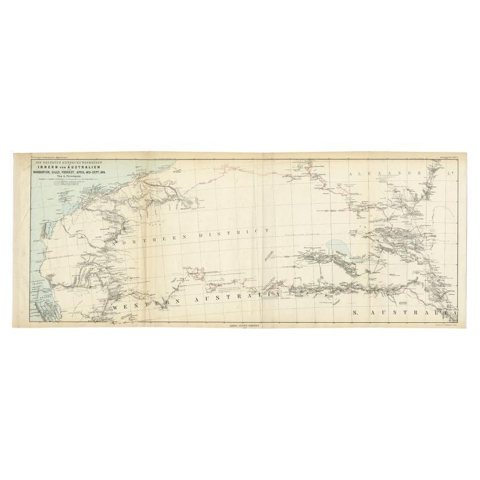 Antique Exploration Map of Australia from Sharks Bay to Alice Springs, 1876
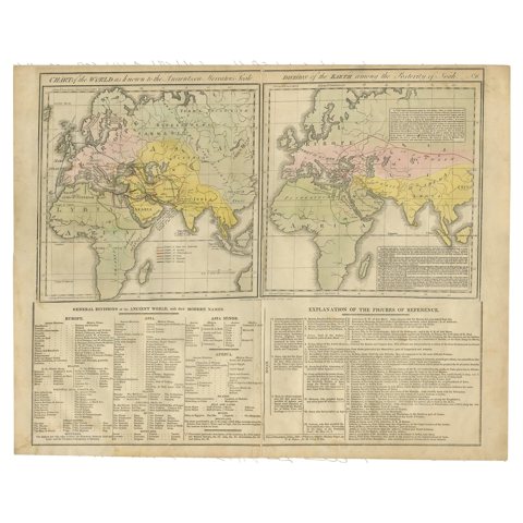 Maps of the Ancient World and the Posterity of Noah, 1820
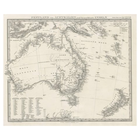 German Antique Map of Australia and New Zealand, 1857
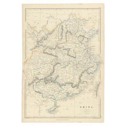 Antique Map of China, 1874
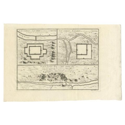 Antique Map of Cities of the Province of Shanxi in China, 1749
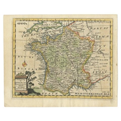 Antique Map of France with the English Channels, 1754
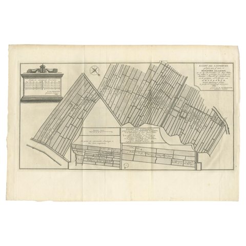 Antique Map Showing Estates of 1669 in Amsterdam, Published in c.1767
Sharing the sale? Download the Black Friday banners.