Maps & PrintsBartele Gallery · Langweer
Home / Antique Maps / World Maps

World Maps · 19th century

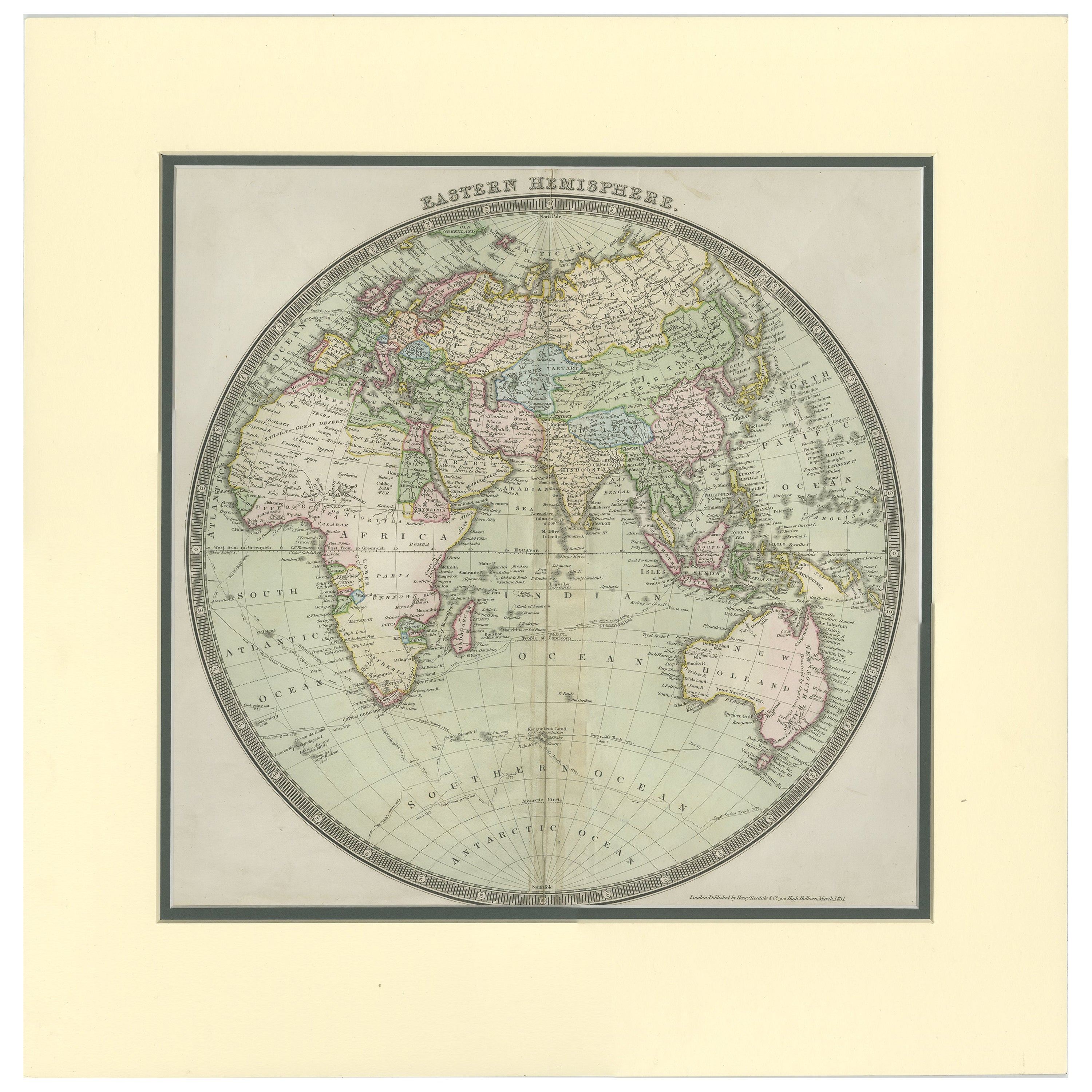
Antique Map of the Eastern Hemisphere by Teesdale, '1831'

€ 250

One of a kind: this is the sheet in the photographs. Ships from Langweer, the Netherlands.

Date
1831
Sheet size
50.5 × 49.5 cm (19.9 × 19.5 in)
Condition
Fair
Reference
BG-00923

Condition

Original folding line. Shows overall creasing and a few small defects/tears. Passe-partout/matting included. Please study image carefully.

About this sheet

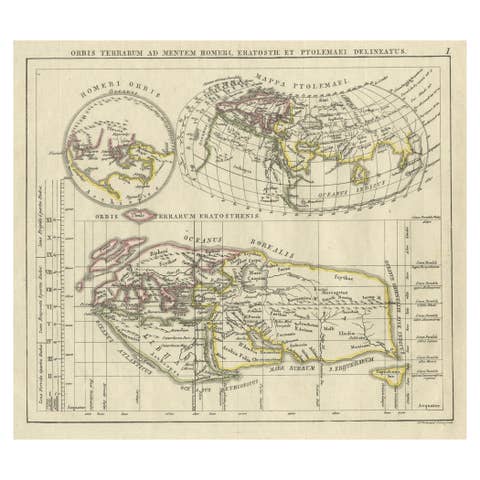
Antique map titled 'Eastern Hemisphere'. Hemispherical map of eastern hemisphere showing tracks of the navigators James Cook and John Gore. Plate 1 from: A new general atlas of the world, containing separate maps of its various countries and states, and exhibiting their boundaries & divisions, also the chains of mountains, rivers, lakes ... / by John Dower. London : Henry Teesdale, 1831.

More from World Maps

Ask about this sheet

Antique Map of the Eastern Hemisphere by Teesdale, '1831'
1831 · Ref. BG-00923 · € 250
We reply by email, usually within one working day.