About this sheet
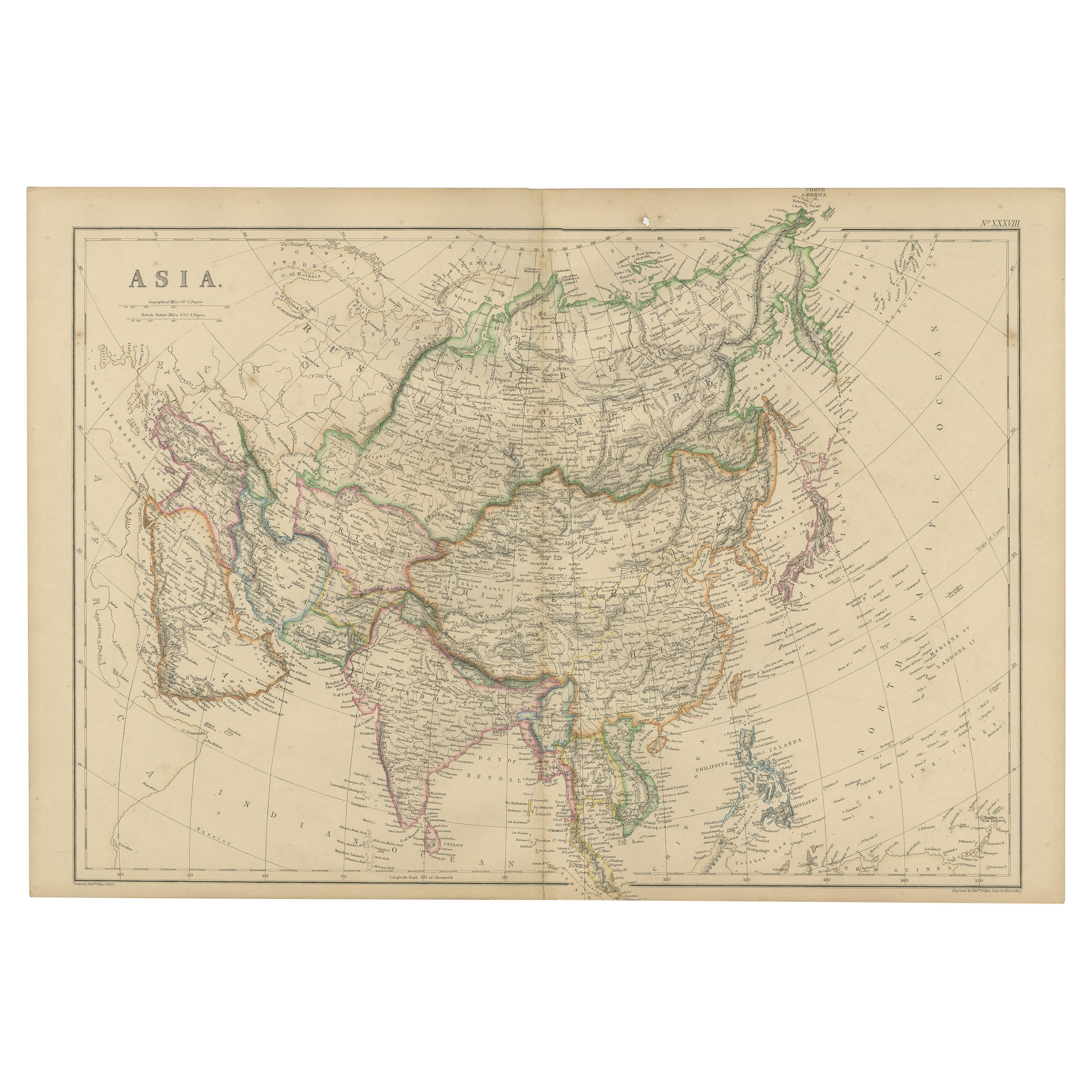
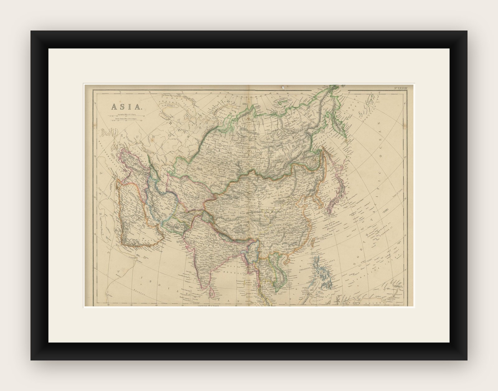
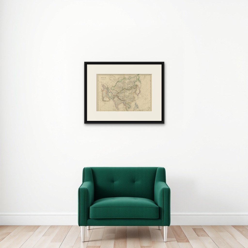
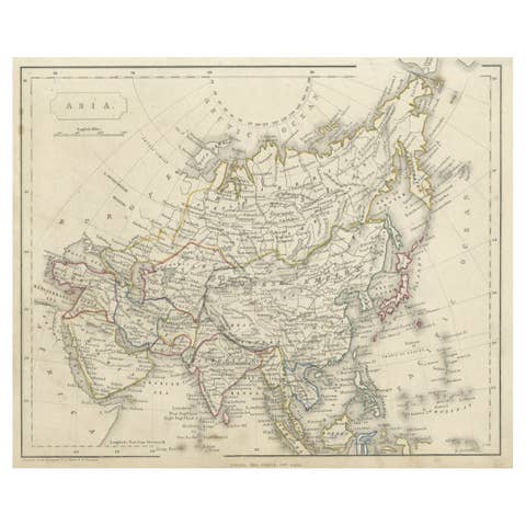
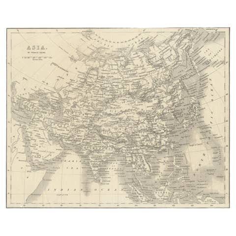
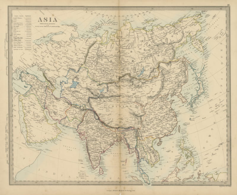
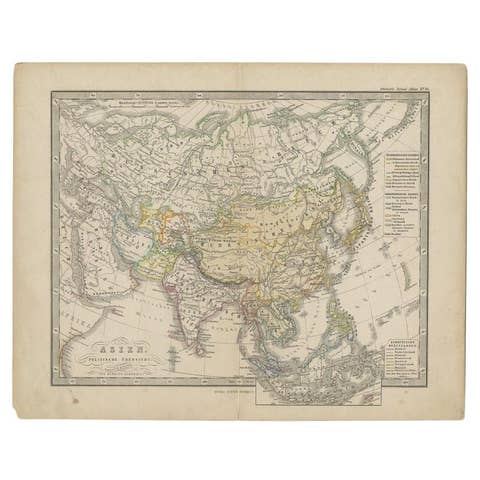
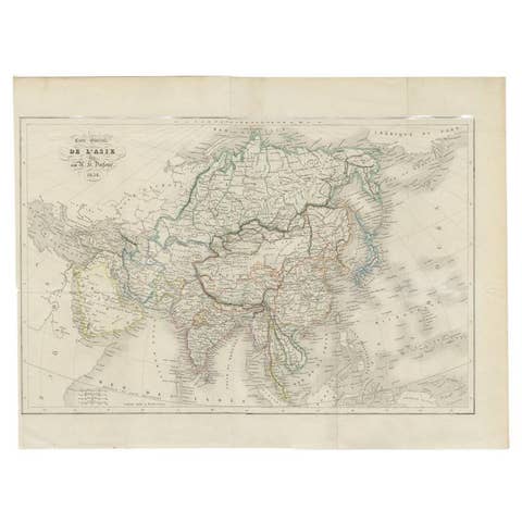
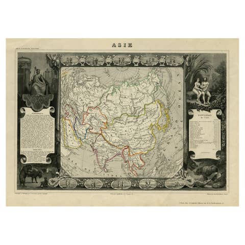
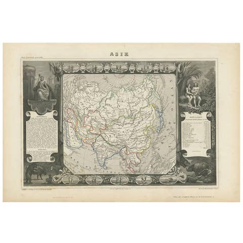
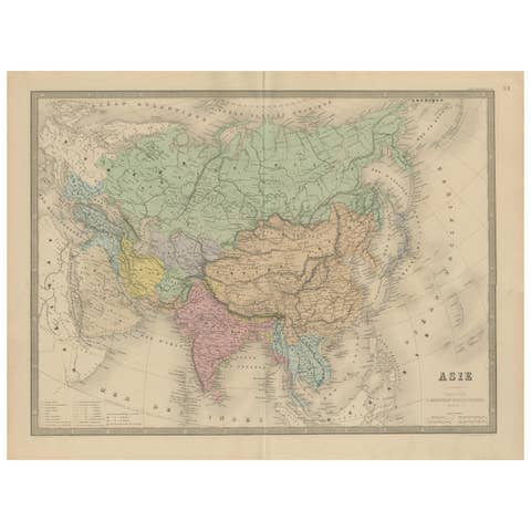
Antique map titled 'Asia'. Original antique map of Asia. This map originates from ‘The Imperial Atlas of Modern Geography’. Published by W. G. Blackie, 1859.
The "Classic Cartographic Masterpiece: 1859 Asia" is an original antique map from W. G. Blackie's esteemed collection, 'The Imperial Atlas of Modern Geography', published in 1859. This map offers a comprehensive and detailed representation of the continent of Asia, as understood in the mid-19th century.
Description of the Map:
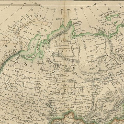
1. Geographical Coverage: The map encompasses the entire continent of Asia, detailing its vast and diverse landscapes. It includes regions from the Middle East to the far reaches of East Asia, and from the Arctic shores of Siberia to the islands of Southeast Asia.
2. Topographical Features: It showcases a variety of geographical features, such as mountain ranges, rivers, deserts, and plains, highlighting the continent's complex physical geography.
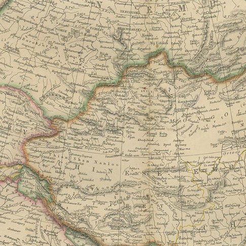
3. Political Boundaries: Reflecting the knowledge of the era, the map illustrates the political boundaries of different Asian countries and regions as they were recognized in the 1850s. This provides a historical perspective on the political landscape of Asia during that time.
4. Cities and Important Landmarks: Major cities, trade routes, and possibly historical landmarks are marked, offering insights into the cultural and economic centers of 19th-century Asia.
5. Artistic and Aesthetic Elements: True to the style of the period, the map likely features decorative elements, such as ornate borders and an elegant title script, enhancing its visual appeal.
6. Educational Value: As a historical document, this map is invaluable for educational purposes, providing a glimpse into 19th-century perceptions and knowledge of Asian geography.
Description of 'The Imperial Atlas of Modern Geography':
1. Scope and Content: This atlas was a comprehensive collection of maps, covering various regions of the world. It was known for its detailed and accurate representations of different continents, countries, and regions as understood in the mid-19th century.
2. Quality and Craftsmanship: The maps in this atlas were crafted with a high level of detail and accuracy, reflecting the advanced cartographic techniques and geographical knowledge of the time.
3. Historical Significance: 'The Imperial Atlas of Modern Geography' is considered an important historical document, providing insights into the state of geographical knowledge and perceptions during the Victorian era.
4. Audience and Usage: The atlas was likely used for educational, reference, and navigational purposes, serving as an important tool for scholars, educators, and navigators of the time.
This antique map of Asia, along with the entire collection in 'The Imperial Atlas of Modern Geography', represents a significant piece of cartographic history, offering both historical and aesthetic value for collectors, historians, and map enthusiasts.