maps-prints.com
✦
Black Friday Sale
Friday 20 to Monday 30 November: up to 30% off original antique maps and prints
The terms
- Up to 30% off selected original antique maps and prints. Every piece is an original, printed in its own time; none is a reproduction.
- The sale runs from Friday 20 November to Monday 30 November. Sale prices shown here apply from Friday 20 November; until then pieces are sold at their regular price.
- Free FedEx shipping on qualifying orders placed on our own websites: USA, Canada, UK and Europe over $500 / €450; rest of the world over $750 / €675. Smaller orders pay our normal shipping rate.
- Orders placed from 15 to 30 November ship from 1 December, in time for Christmas. Our shipping partner is InXpress.
- Each piece is unique, so the sale is while stock lasts.
Collection:AllAmericanSea chartsMilitaryNatural historyFashionArchitectureBotanicalSacredEast Indies
Sale prices apply from Friday 20 November. Save the pieces you like with the heart and come back on Friday.
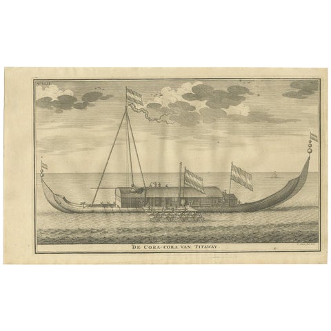 Antique Print of the Coracora Fleet by Valentijn, 1726
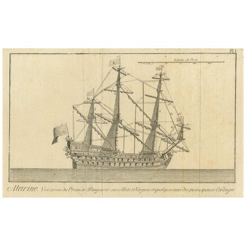 Antique Print of a Three-Masted Man-of-War, circa 1770
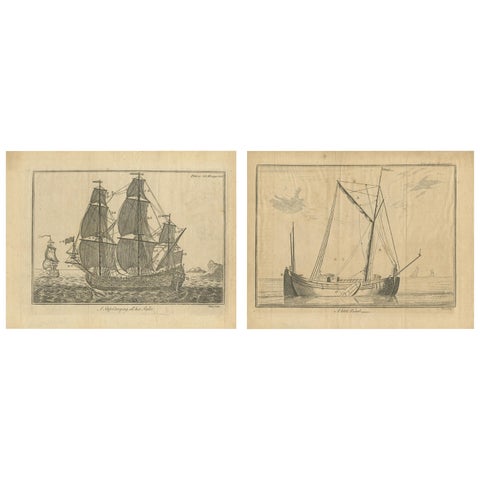 Set of 2 Antique Prints of Ships/Vessels by Pluche, 1750
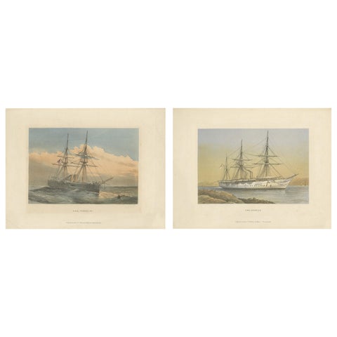 Set of 2 Antique Prints of HMS Ships by Griffin & Co, 1880
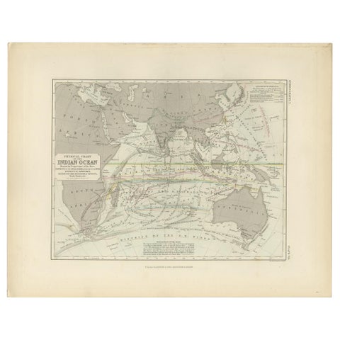 Antique Physical Chart of the Indian Ocean by Johnston '1850'
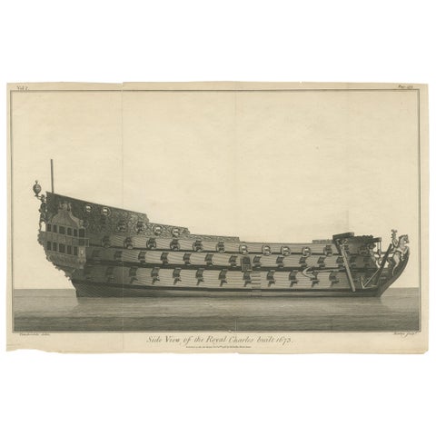 Antique Print with a Side View of the 'Royal Charles' Vessel by Newton '1796'
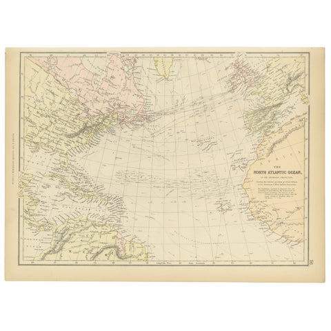 1882 Map of the North Atlantic Ocean Showing Cable Tracks and Trade Winds
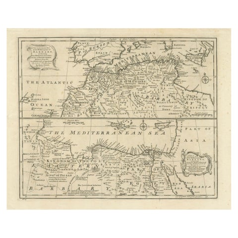 Mediterranean & Barbary Coast – Elegant 18th Century Map by Bowen, c.1747
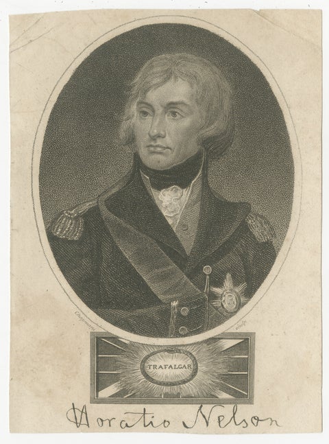 Horatio Nelson Portrait, Trafalgar Engraving, Naval Hero, 1819 London
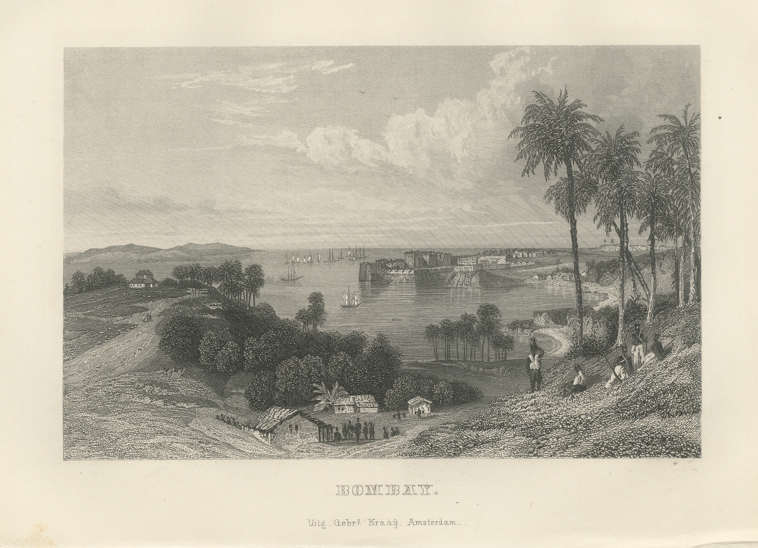 Bombay Harbor and Fort from the Hills, Antique Steel Engraving, 1859
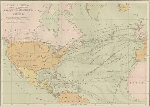 Antique Chart of the Atlantic Ocean, Europe to North America Route, 1870
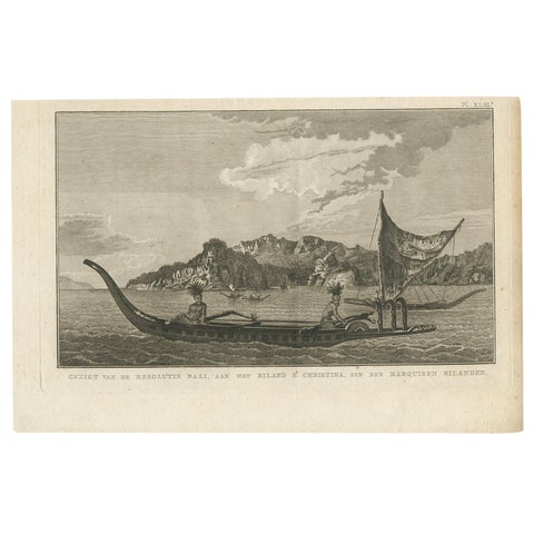 Resolution Bay on St. Christina: A Glimpse of the Marquesas in Cook's Voyages
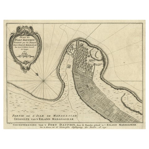 Antique Plan of Fort Dauphin on Madagascar of the East Coast of Africa, 1756
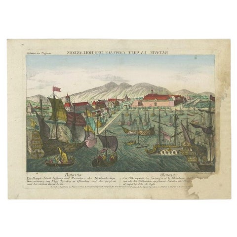 Antique Print of the Harbour of Batavia by Probst, c.1760
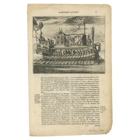 Antique Print of a Japanese Pleasure Yacht by Montanus, 1669
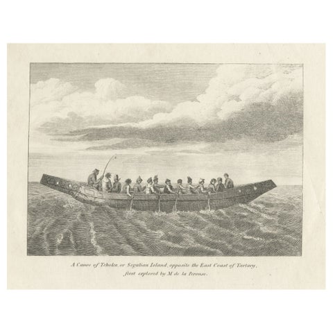 Antique Print of a Canoe of Chukotka, Tartary, 1800
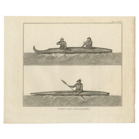 Antique Print of Canoes of Unalaska by Cook, 1803
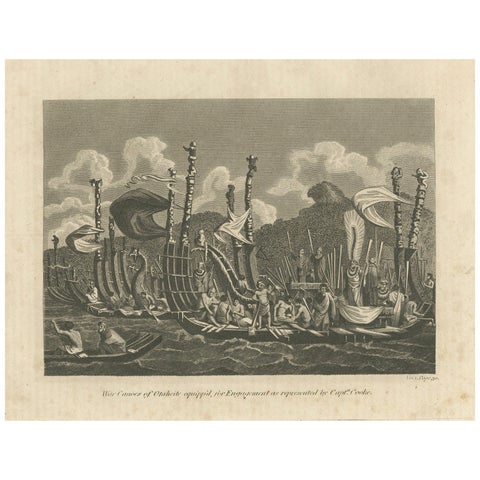 Naval Might of Tahiti: War Canoes Observed by Captain Cook, circa 1817
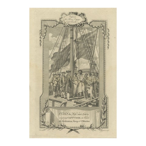 1778 Engraving: Captain Cook's Second Voyage - Meeting the Tahitians
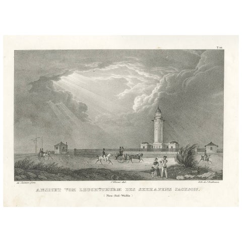 Lighthouse of Port Jackson, New South Wales, Australia - Published in 1836
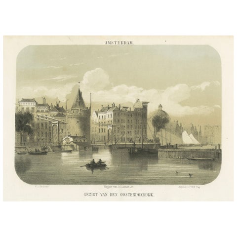 1857 Lithograph of Amsterdam’s Oosterdok Quay and Harbor
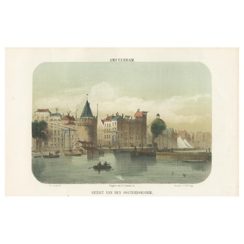 Amsterdam View from the Oosterdok, 19th Century Lithograph with Boats, 1855
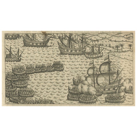 Naval Battle between Dutch and Javanese Fleets near Bantam, Pontanus 1611
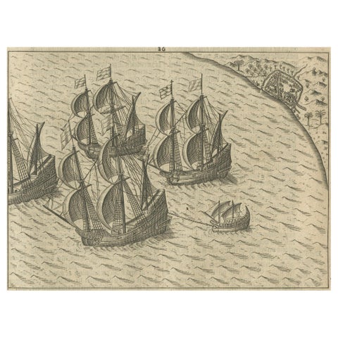 Dutch Fleet off the Coast of Bantam, Java, from History of Amsterdam, 1611
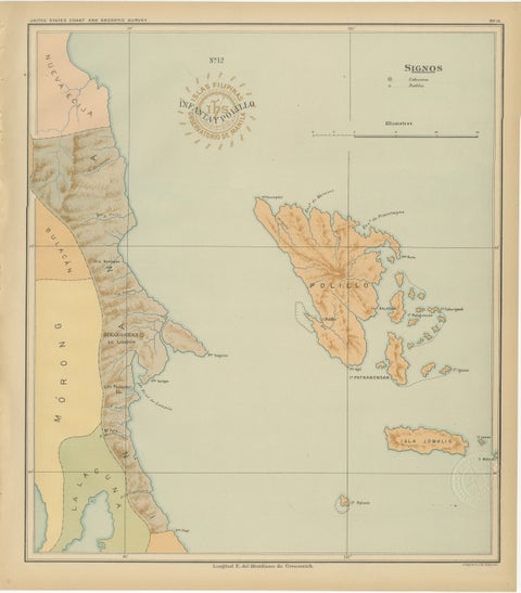 Map of Polillo Islands and Eastern Luzon Coast – Observatorio de Manila, 1899
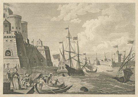 View of the Dardanelles, Ottoman Fortress and Shipping, Engraving, circa 1783
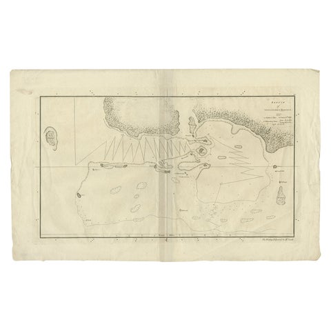 Original Antique Map of the Harbour of Tongatabu by Cook, 1784
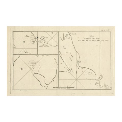 Antique Print with Charts of York's Bay and Surroundings
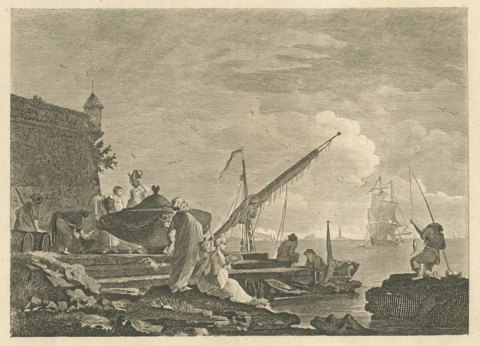 View in the Levant, Harbor Quay below a Fortress, Antique Engraving, circa 1820
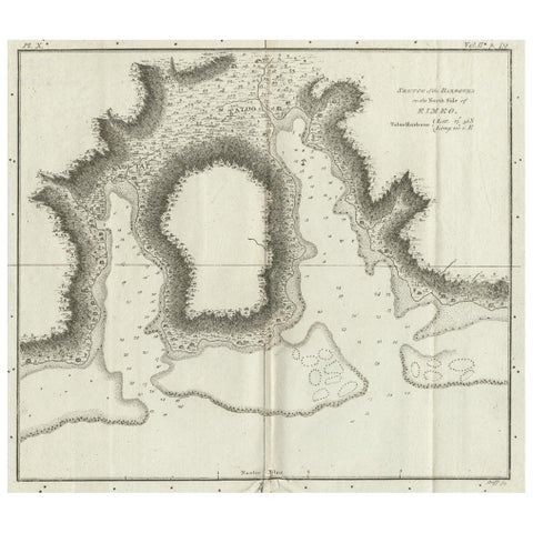 Antique Plan of the Harbour of Taloo by Cook, c.1781
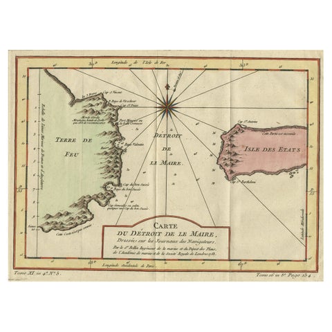 Antique Map of the Passage Between the Atlantic and Pacific Oceans, circa 1753
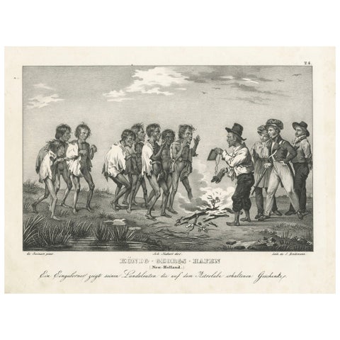 Sharing Astrolabe Gifts at King George's Harbour, New Holland (Australia), 1836
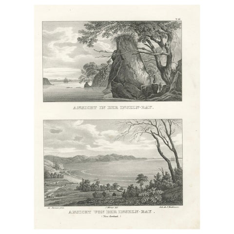 Scenic Views of Inseln Bay, New Zealand, from the Astrolabe Voyage, circa 1836
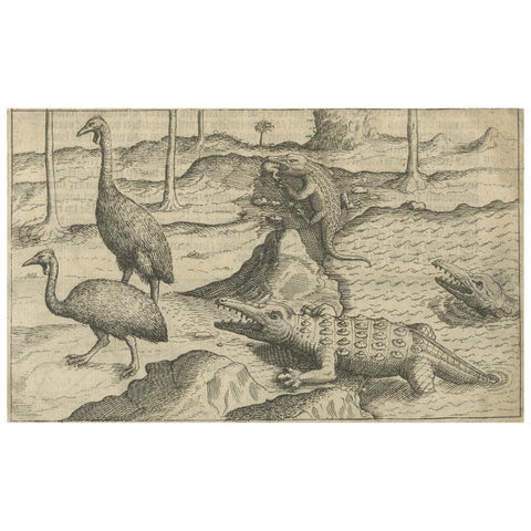 Early Dutch Exploration Scene with Exotic Wildlife and Naval Encounter, 1611
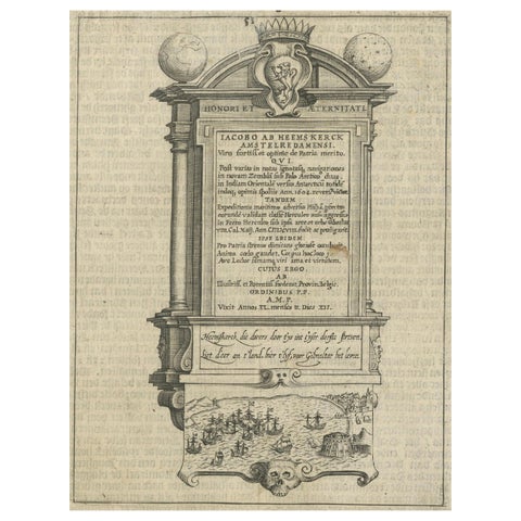 Memorial to Jacob van Heemskerck, Dutch Naval Hero at Gibraltar, Engraving, 1611
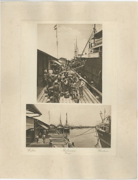 Belawan Harbour & Labourers – Sumatra, Indonesia - Kleingrothe Photogravure 1900
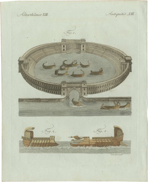 Original Antique Print of Roman Naval Battles and Warships by Bertuch, c. 1800
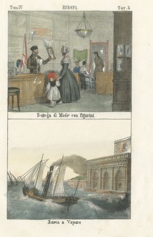 Fashion Shop with Fashion Plates and a Paddle Steamer, Hand Colored Print, 1842
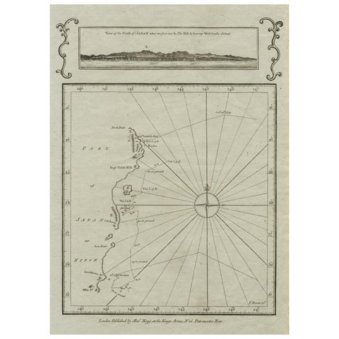 Old Map of the East Coast of Honshu with an Inset, Japan, c.1785
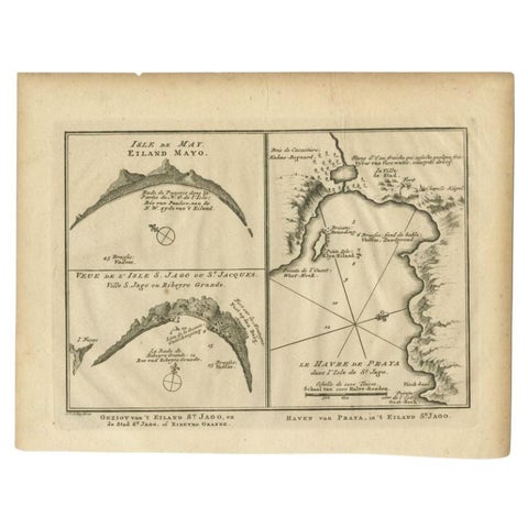 Antique Map of St. Jago, St Mayo and Praya Harbour, Mauritania, Africa, c.1750
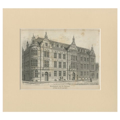 Antique Print of the Former Maritime Academy of Amsterdam, c.1890
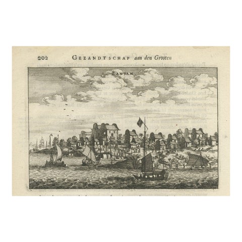 Antique Print of Chinese Vessels Near Lantam, China, 1665
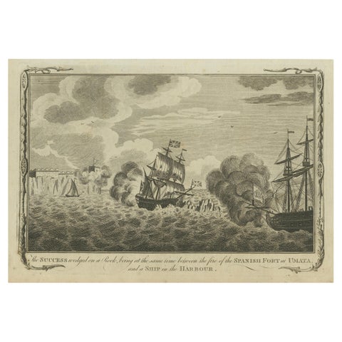 Naval Engagement at Unalata, Guam: The Peril of HMS Success, circa 1790
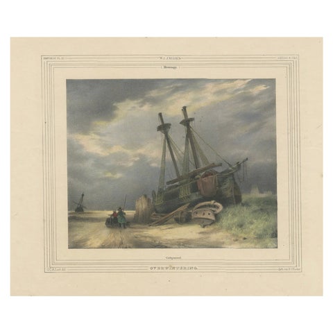 1835 Hand-Colored Lithograph: Stranded Ship in Winter Landscape
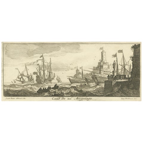 Maritime Scene in the Aegean Archipelago with Fortifications & Ships, circa 1680
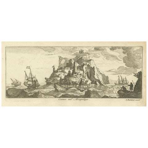 Fortified Island in the Aegean Archipelago with Ships at Sea, circa 1680
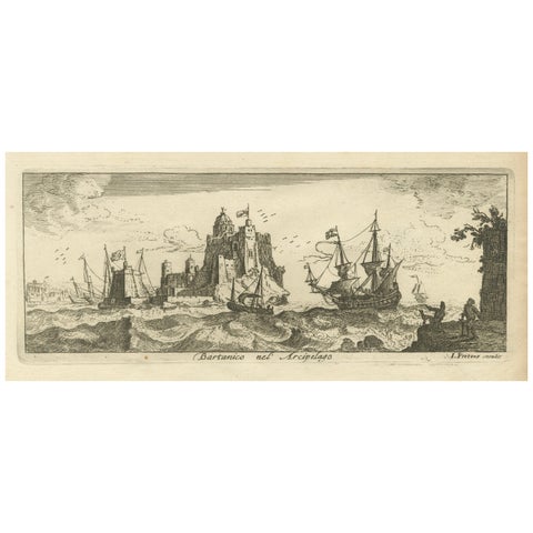 View of Bartanico in the Aegean Archipelago with Fortifications and Ships, 1680
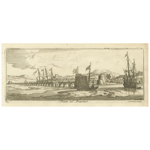 View of Fanar in the Aegean Archipelago with Bridge and Ships, ca. 1680
Sharing the sale? Download the Black Friday banners.