About this sheet
Mediterranean & Barbary Coast – Elegant 18th Century Map by Bowen, c.1747
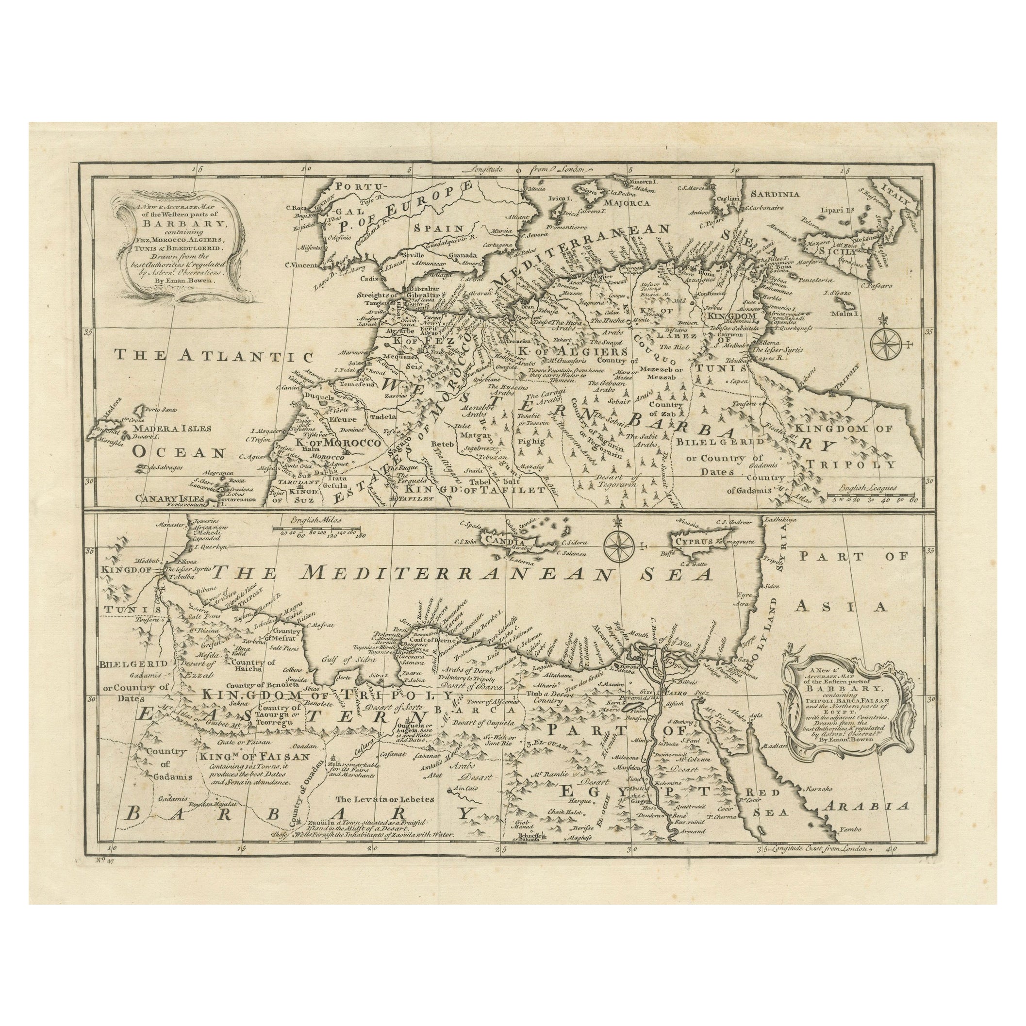
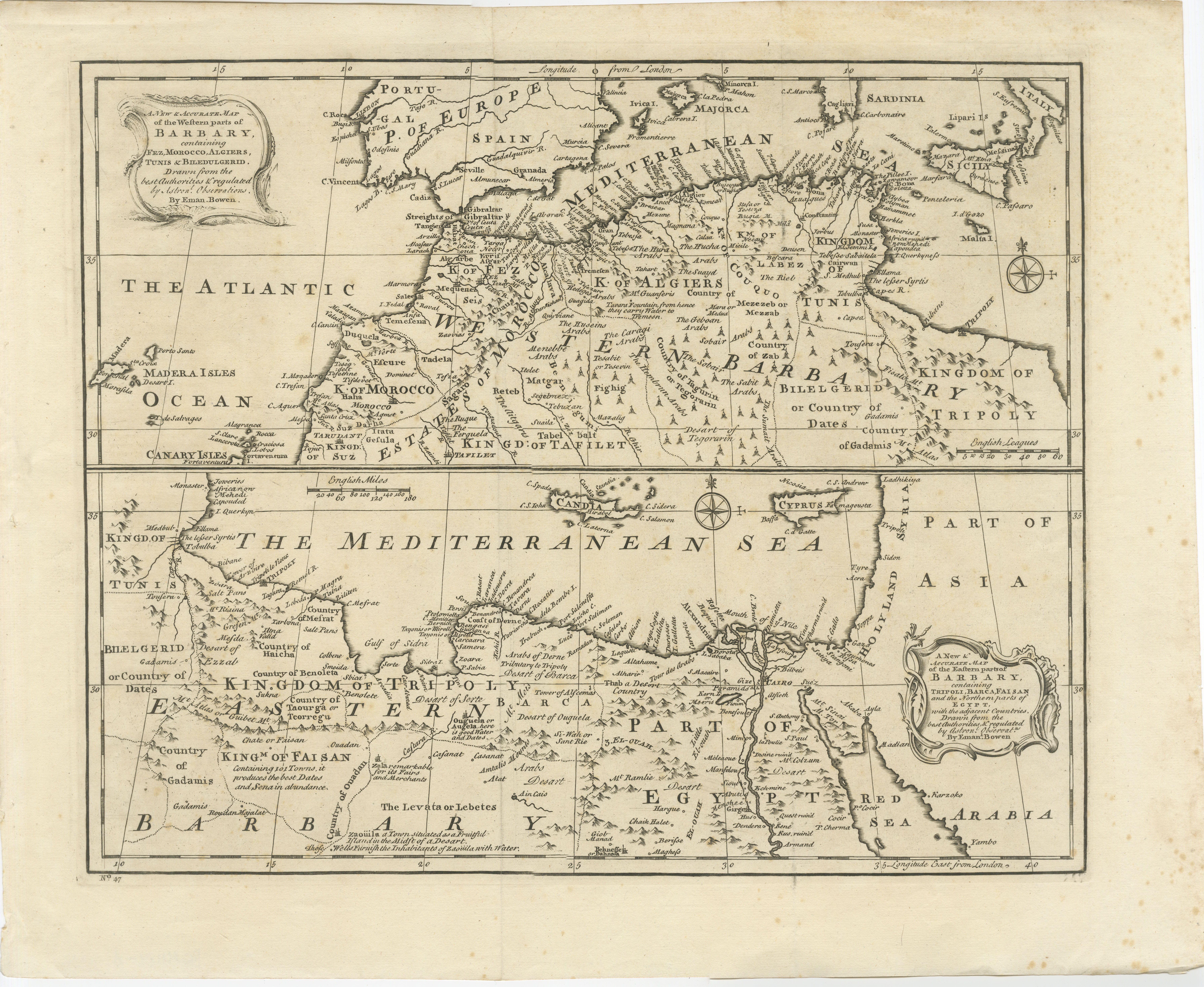
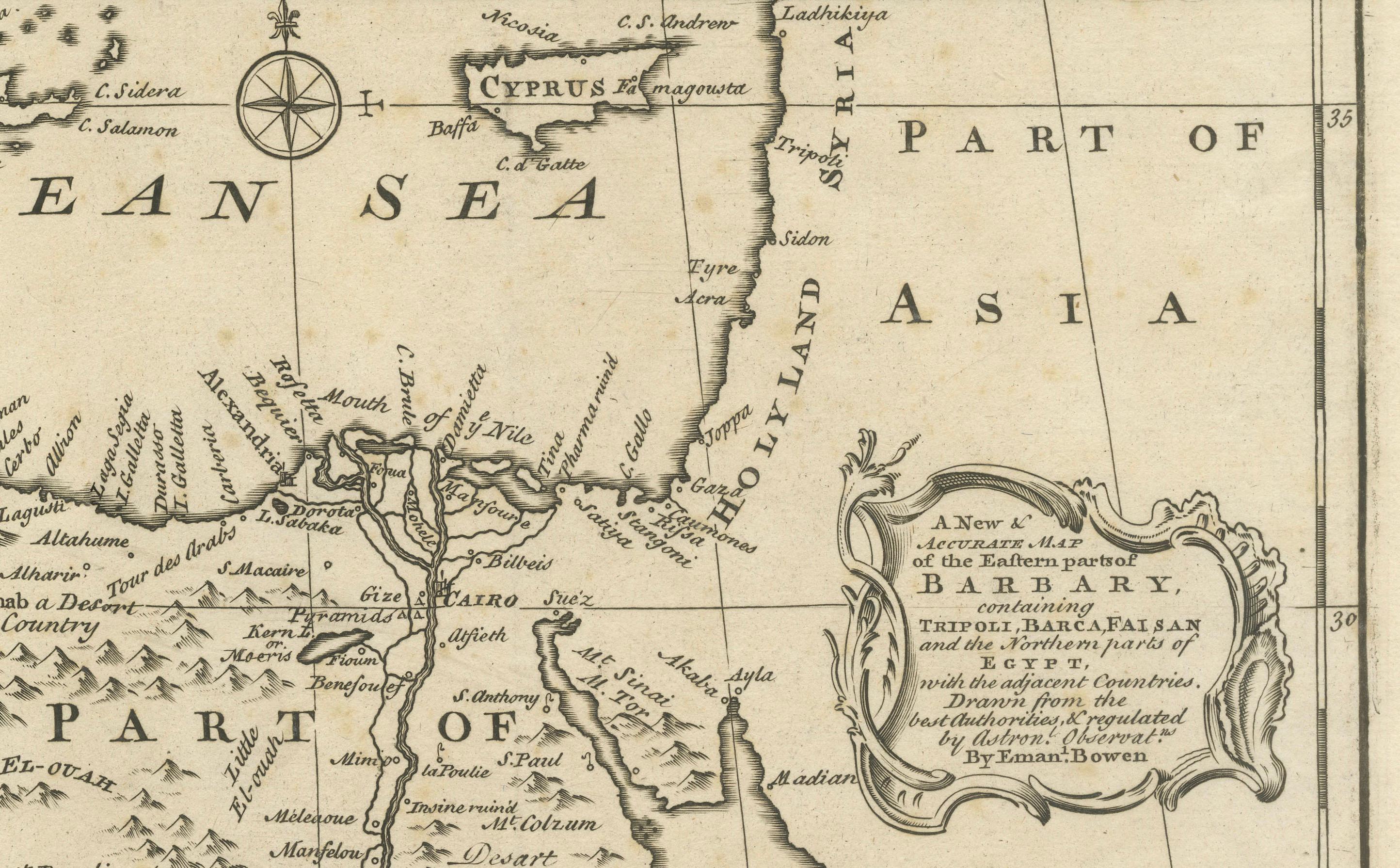
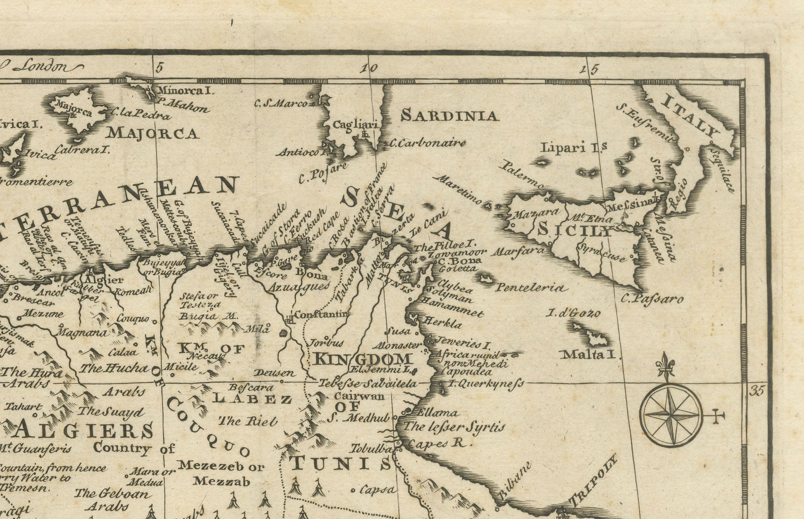
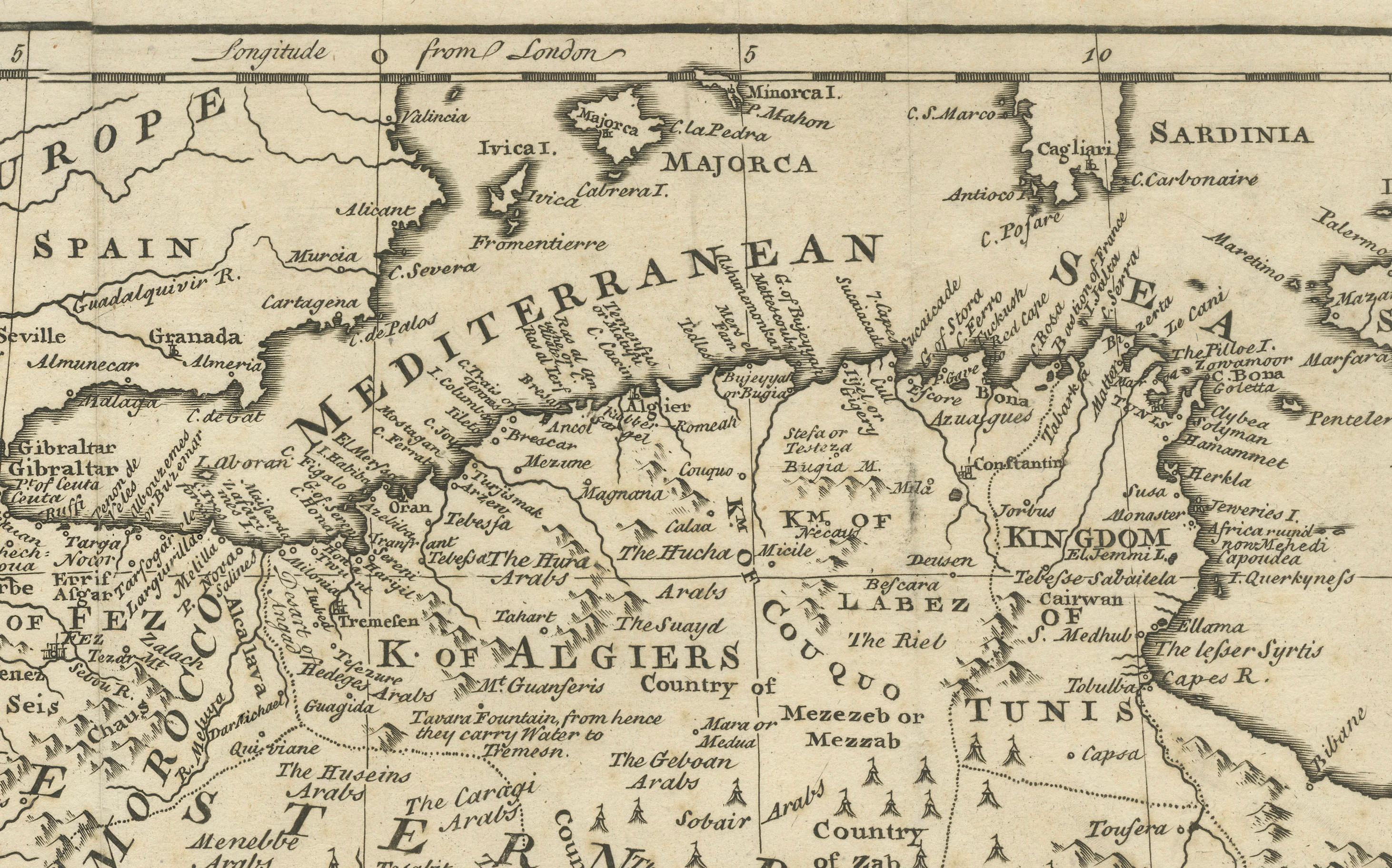
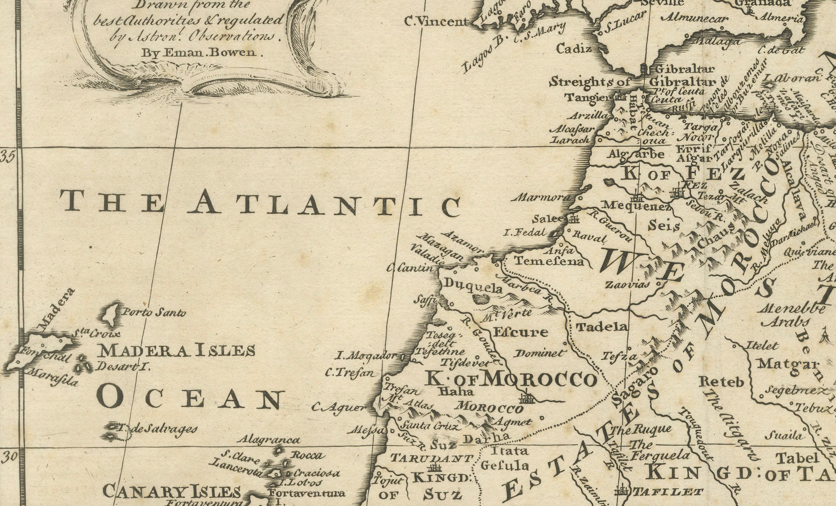
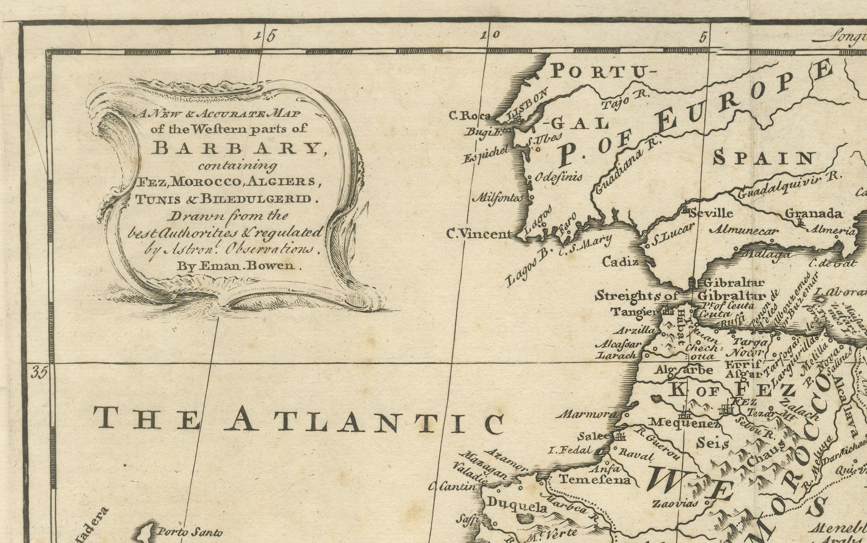
This elegant mid-18th-century engraved map presents the Mediterranean world with a strong focus on the Barbary Coast and North Africa, extending from the Atlantic coast of Morocco across the Mediterranean Sea to Egypt, the Levant, and parts of the Near East. The map encompasses southern Europe, including Spain, Italy, and the islands of the Mediterranean, while highlighting North African regions such as Morocco, Algiers, Tunis, Tripoli, Egypt, and Arabia.
The map was engraved by Emanuel Bowen and published circa 1747, during a period when European interest in the Mediterranean was driven by trade, naval power, diplomacy, and the strategic control of sea routes linking Europe, Africa, and the East. Bowen was one of the most prominent English mapmakers of the 18th century, serving as Royal Geographer to King George II, and his work is valued for its clarity, balance, and decorative refinement.
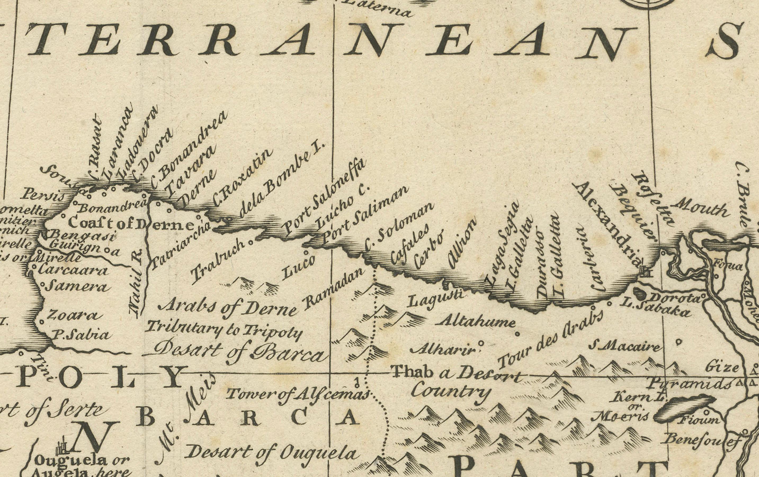
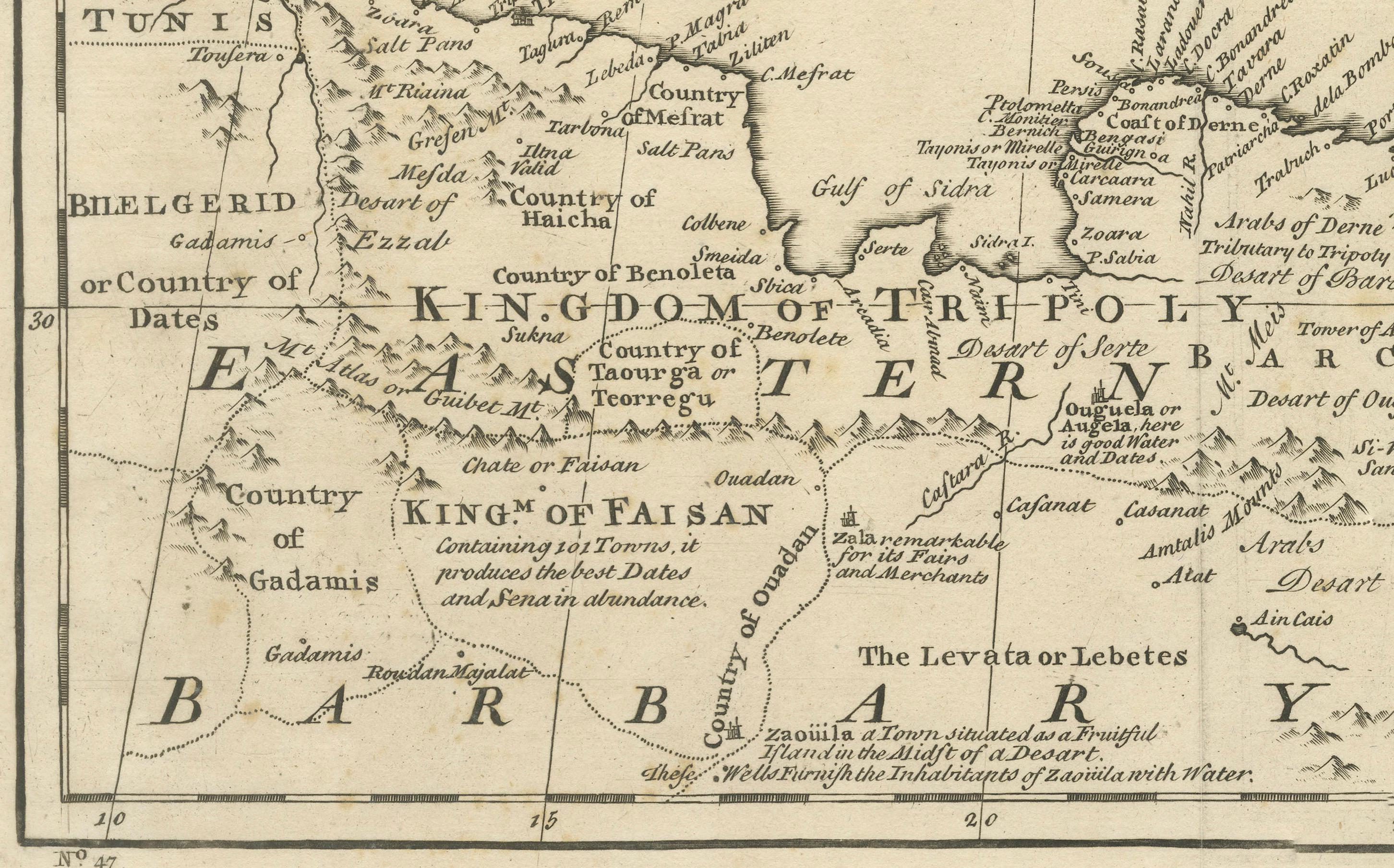
Coastal outlines, principal cities, kingdoms, and regions are clearly delineated, while inland territories are filled with place names, mountain ranges, and desert annotations that convey both geographic structure and contemporary European perceptions of North Africa and the eastern Mediterranean. The Barbary Coast is prominently labeled, with references to historic kingdoms, trading centers, and ports central to Mediterranean and trans-Saharan commerce. Egypt and the eastern Mediterranean are carefully rendered, including the Nile delta and surrounding regions.
The Mediterranean Sea itself dominates the composition, creating a calm, expansive visual rhythm that gives the map exceptional decorative presence. Decorative cartouches, compass roses, and neatline borders add elegance without overpowering the geography. The engraving style is refined and legible, making the map equally appealing to collectors and interior designers.
This map works beautifully as a statement wall piece, offering a timeless view of the Mediterranean world that complements both classic and contemporary interiors. It also integrates naturally with displays focused on North Africa, the Mediterranean basin, or 18th-century European cartography.
Condition report
Good condition overall. Central vertical fold as issued. Light age toning consistent with period, with a few scattered spots and minor surface marks. Plate mark visible. Margins intact.
Framing tips
A wide off-white or light sand-colored mat enhances the balance of the composition and allows the dense geography to breathe. A medium to dark wood frame or softly ebonized frame gives the piece a refined, hotel-ready appearance suitable for residential or hospitality interiors.
Technique: Copper engraving
Maker: Emanuel Bowen, England, c.1747