

Maps & PrintsBartele Gallery · Langweer
Home / Antique Maps / Sea Charts

Sea Charts

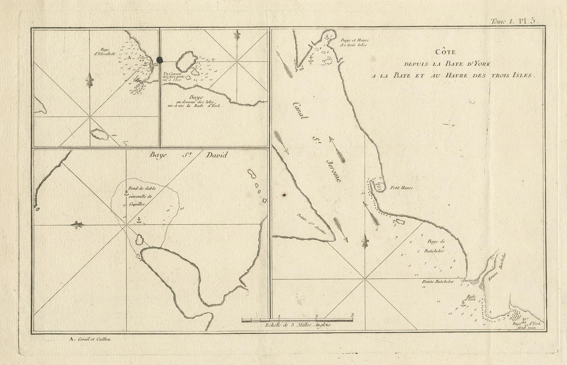
Antique Print with Charts of York's Bay and Surroundings

€ 279

One of a kind: this is the sheet in the photographs. Ships from Langweer, the Netherlands.

Sheet size
27.3 × 39 cm (10.7 × 15.4 in)
Condition
Good
Reference
BG-12707-94

Condition

General age-related toning. Shows some wear and soiling, few small spots. Blank verso. Please study image carefully.
About this sheet

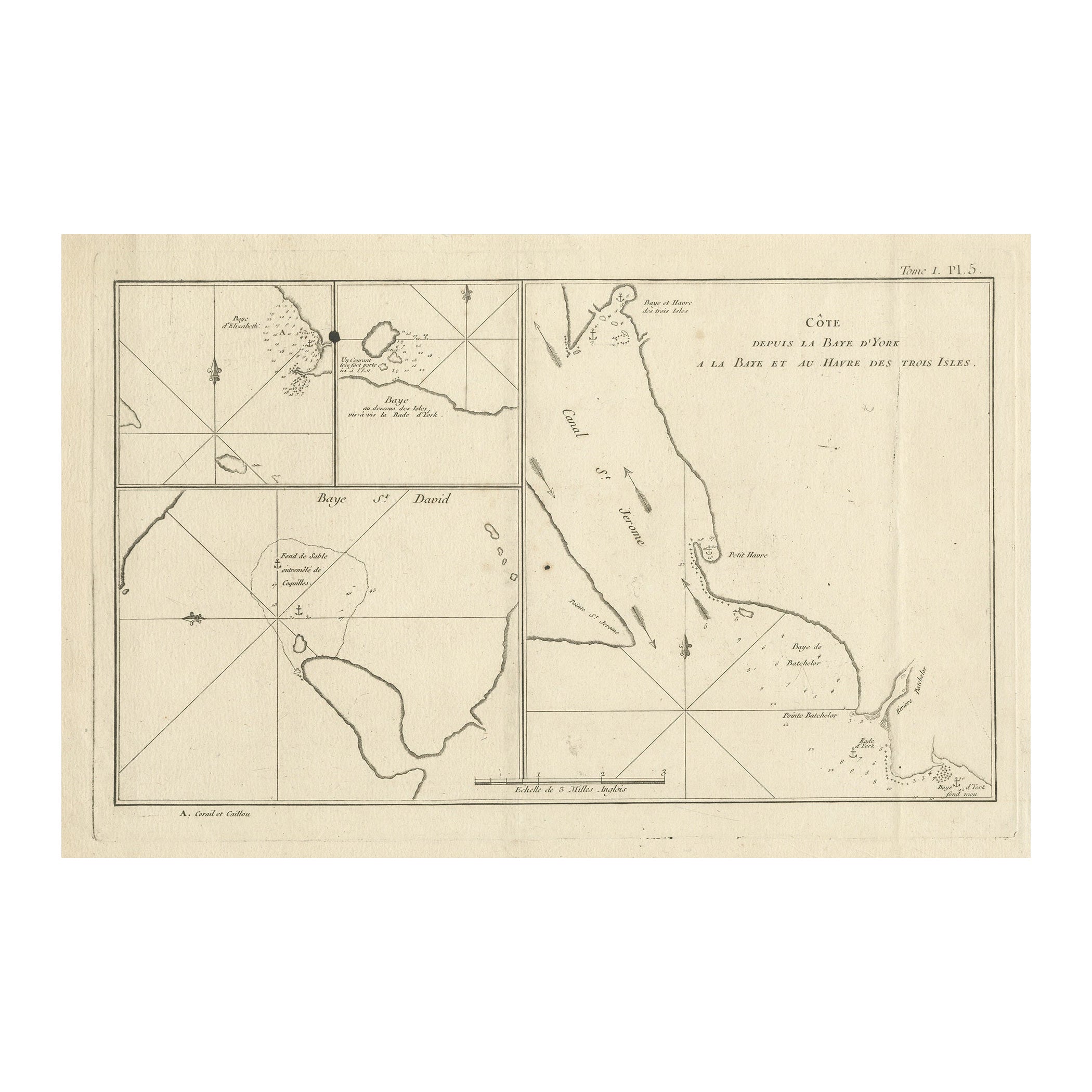
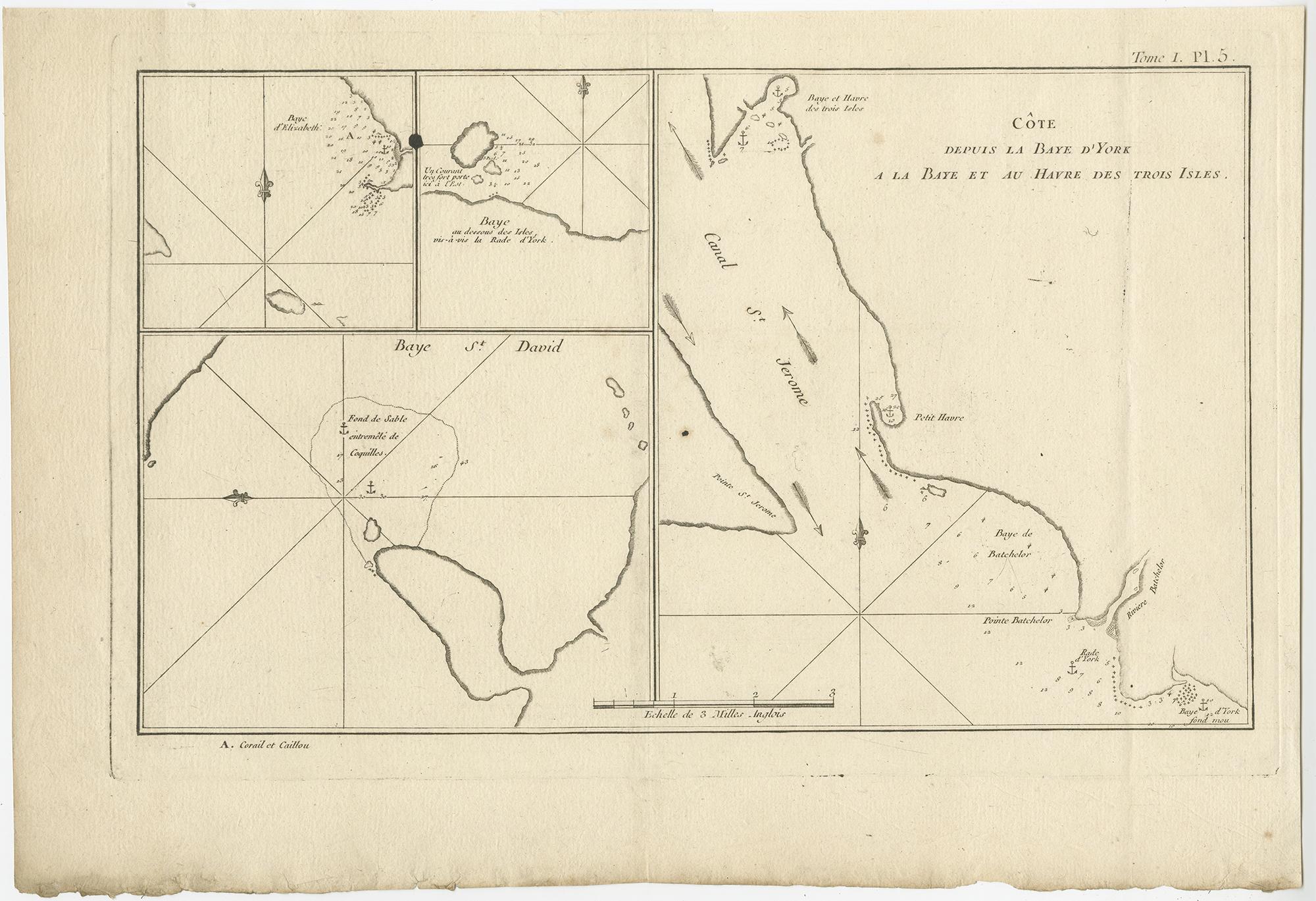
Antique map titled 'Côte depuis la Baye d'York (..)'. Charts of York's Bay, Haven of the Three Islands, St. David's Bay, and Elizabeth's Bay.

Published in an edition of John Hawkesworth's atlas to accompany a French edition of Captain James Cook's voyages to the Southern Hemisphere. Published 1774.

More from Sea Charts

Ask about this sheet

Antique Print with Charts of York's Bay and Surroundings
Ref. BG-12707-94 · € 279
We reply by email, usually within one working day.