The Netherlands & Belgium · 17th century
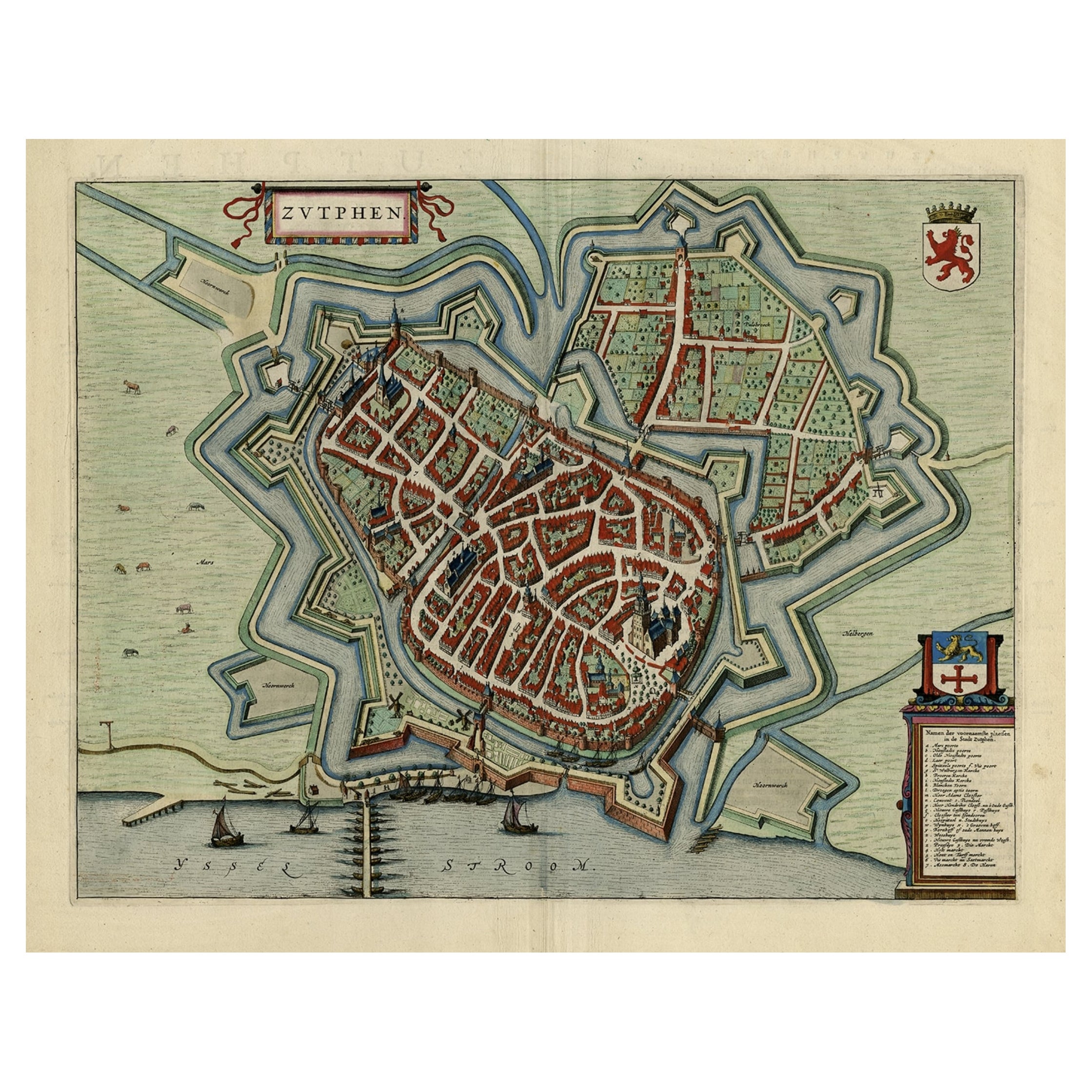
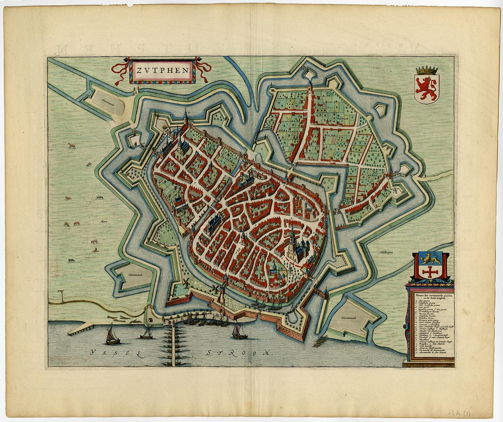
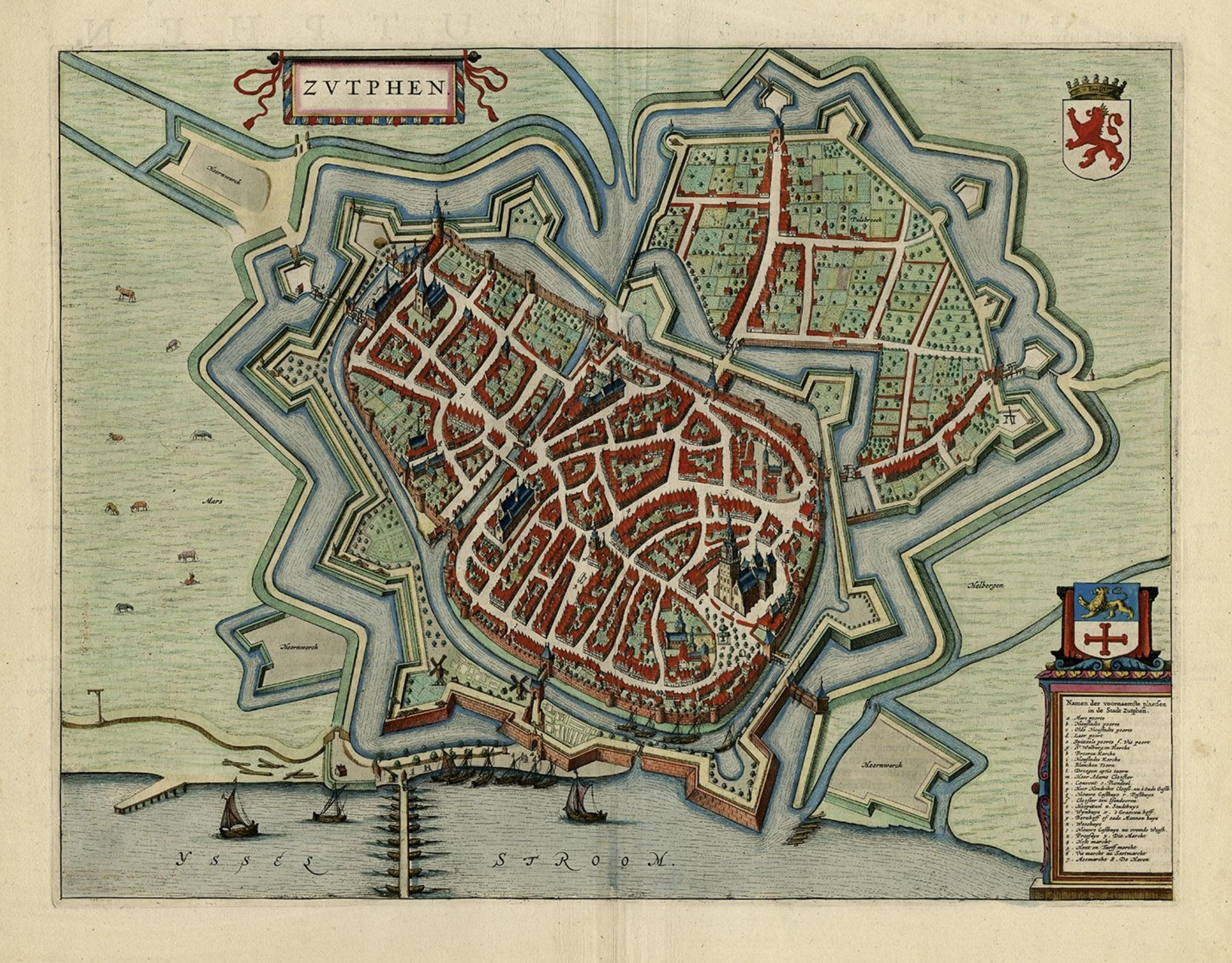
Original Map with Bird's-Eye View of Zutphen in the Netherlands by Blaeu, 1649
€ 1 250
Original antique · The actual sheet photographed · Certificate of authenticity on request · Sold unframed · Worldwide shipping from € 15 (rates)
- Date
- 1649
- Publisher
- Joan Blaeu. Joan Blaeu (23 September 1596 - 28 May 1673) was a Dutch cartographer. He was born in Alkmaar, the son of cartographer Willem Blaeu. In 1620 he beca
- Sheet size
- 51.2 × 60.4 cm (20.2 × 23.8 in)
- Reference
- PCT-58042
Condition
Very good, given age. Some tiny unobtrusive spots in the margins. Middle fold as issued. Some creasing along the middle fold. General age-related toning and/or occasional minor defects from handling. Please study scan carefully.