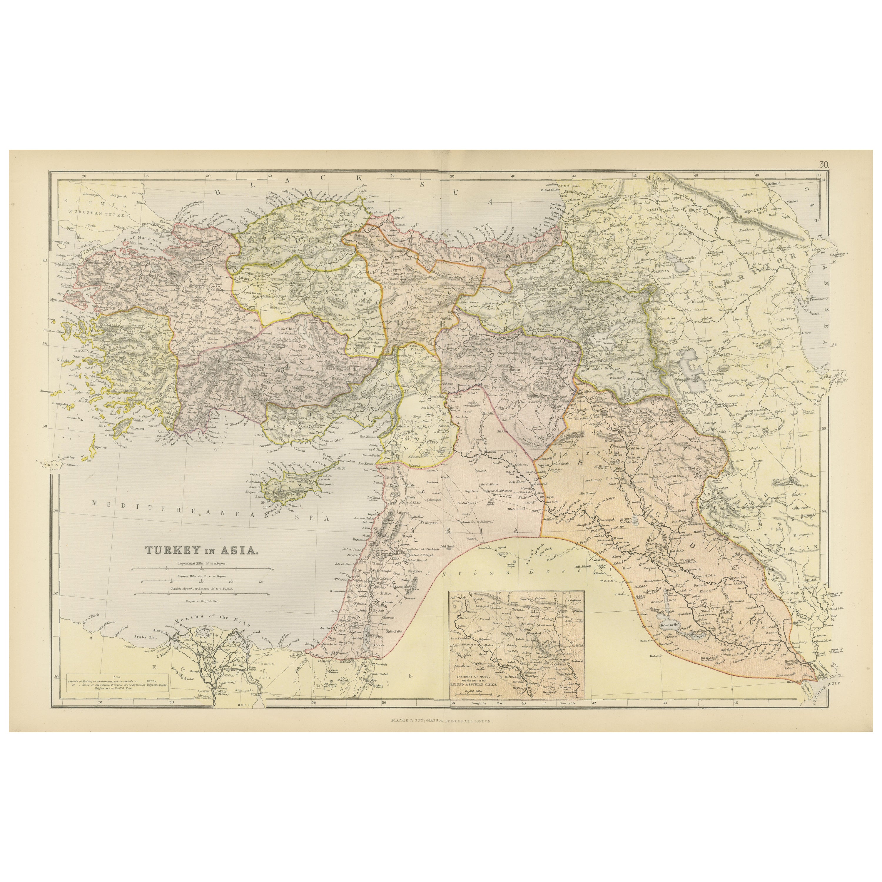
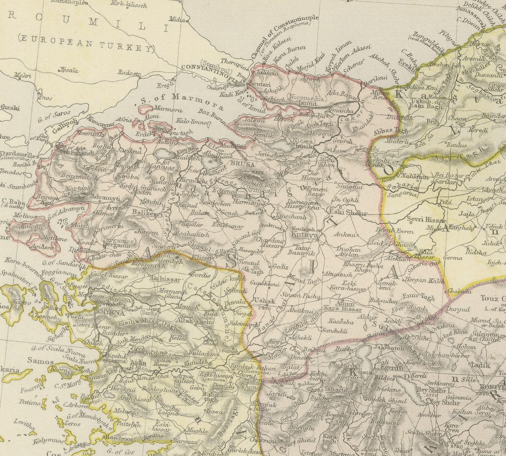
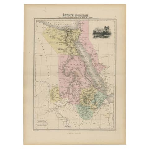
Empire's Crossroads: An 1882 Map of Turkey in Asia by Blackie & Son
€ 270
One of a kind: this is the sheet in the photographs. Ships from Langweer, the Netherlands.
Date
1882
Sheet size
38 × 57 cm (15.0 × 22.4 in)
Condition
Good
Reference
BG-13601-2-41
Condition
Good condition, folding line in the middle. The outer borders are slightly discolored due to age, but not the image. This map is ideal for framing. Study the image carefully.
About this sheet
This map, titled "Turkey in Asia," is another detailed illustration from the 1882 atlas by Blackie & Son. It showcases the vastness of the Asian territories of the Ottoman Empire, spanning from the Mediterranean Sea to the borders of Persia and from the Black Sea down to the Arabian Peninsula.
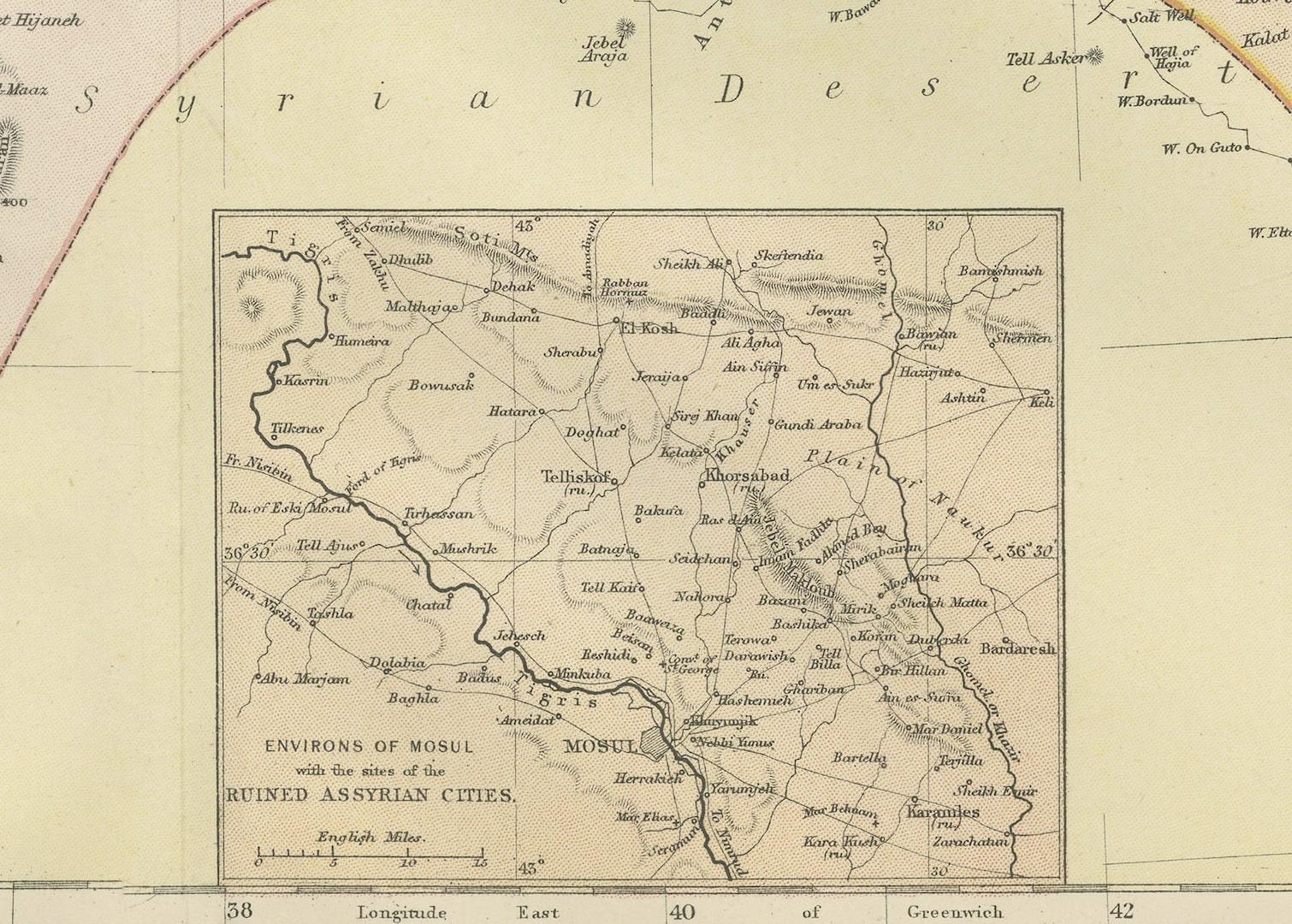
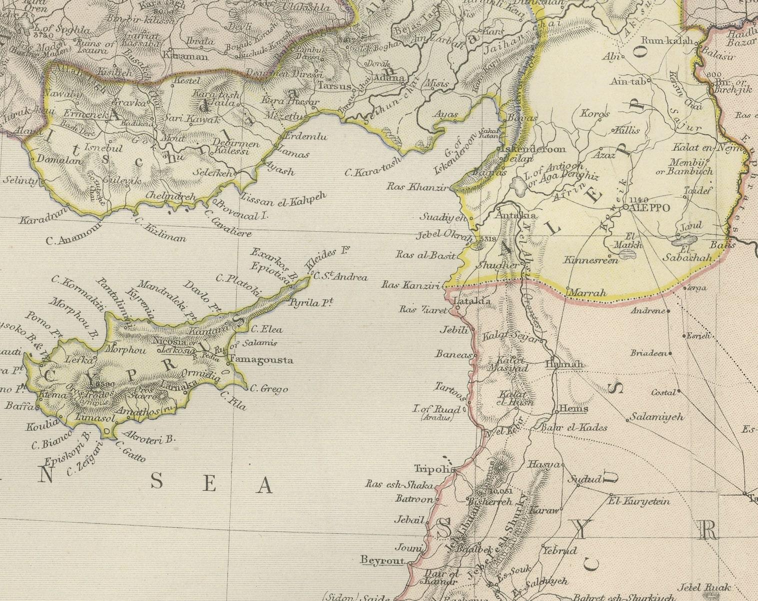
The map is a rich tapestry of the empire's Asian provinces, delineated with colored borders that neatly define regions such as Anatolia, Mesopotamia, and the Levant. The cartography of the period is evident in the precise rendering of mountain ranges, river systems, and the placement of cities, all vital features for the era's travelers and scholars.
Topographical elements are illustrated with meticulous care, utilizing hachures to show relief and elevation, which was the convention before contour lines became standard. Settlements are marked from the largest cities to the smaller towns, reflecting the density and diversity of the empire's population centers.
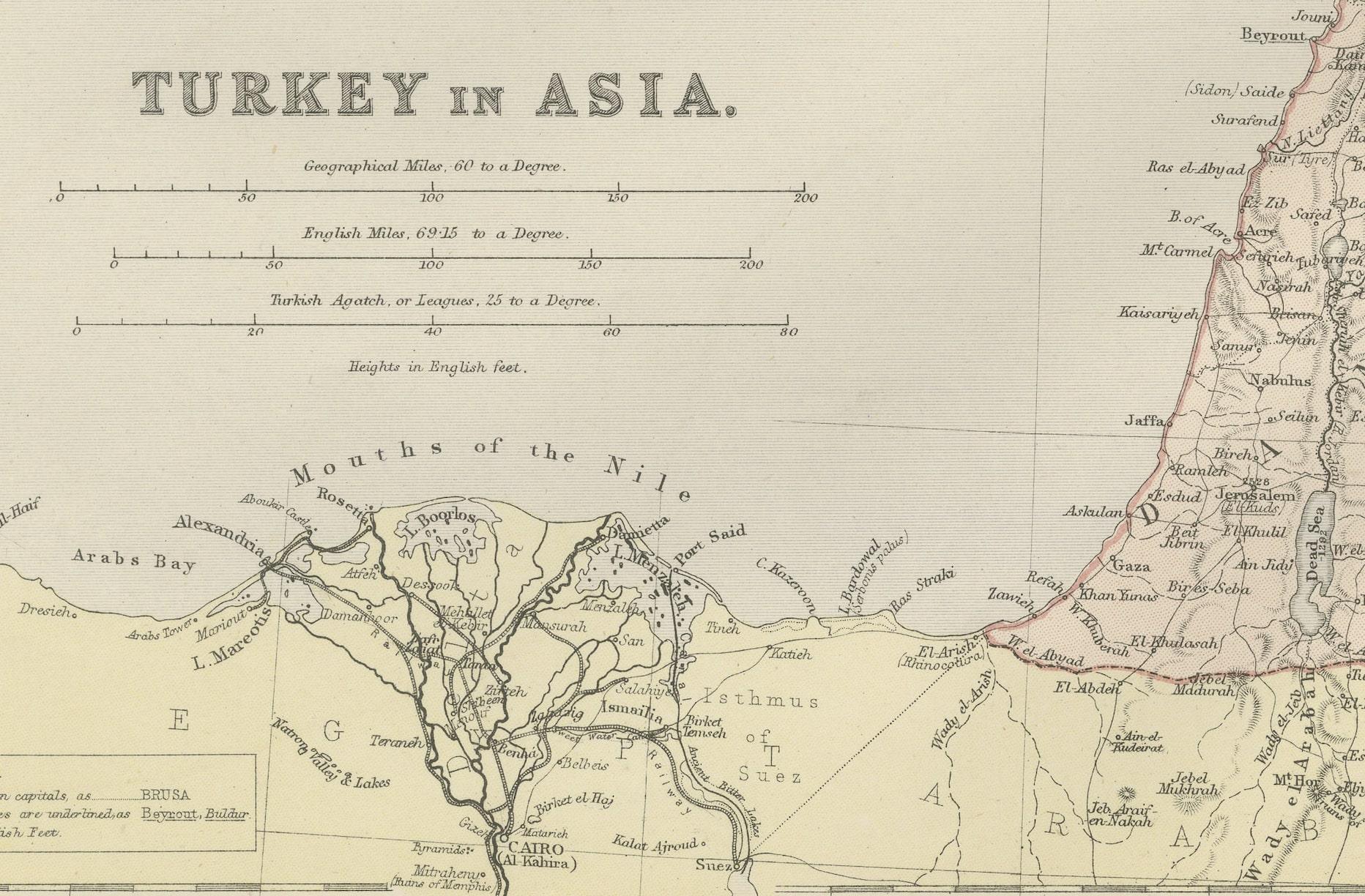
In the lower inset, a detailed map of the environs of the Nile showcases the significance of this fertile region. The Nile Delta and the course of the river are clearly depicted, along with important cities like Cairo, underlining the agricultural and economic importance of Egypt to the Ottoman Empire.
This map is a historical document that speaks volumes about the geopolitical landscape of the late 19th century. It would have been an essential reference for understanding the complex makeup of the Ottoman territories in Asia, used by officials, merchants, and explorers alike. It captures a moment in time just before the modern era's dramatic changes and is a testament to the era's cartographic skill and the imperial reach of the Ottoman Empire.