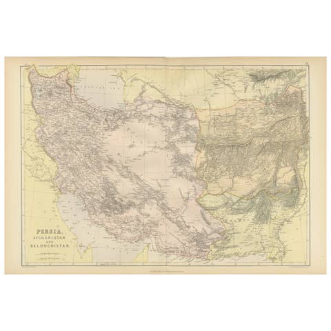
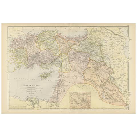
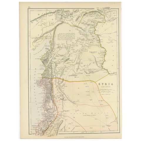
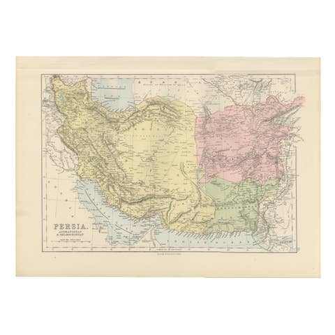
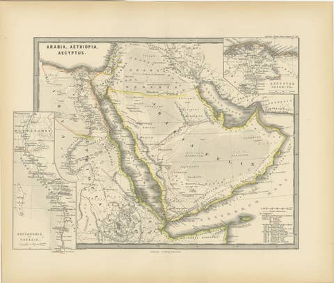
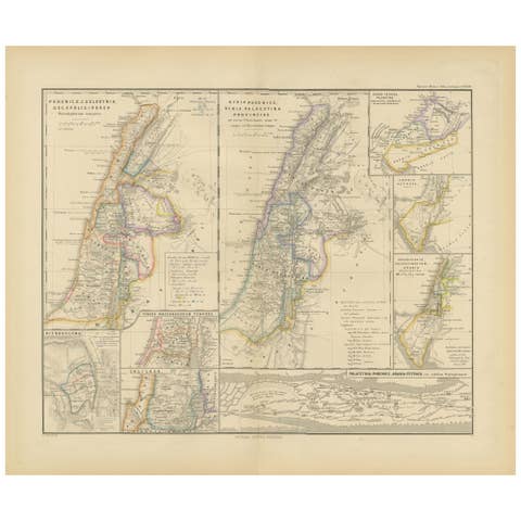
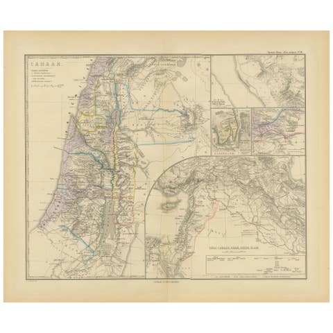
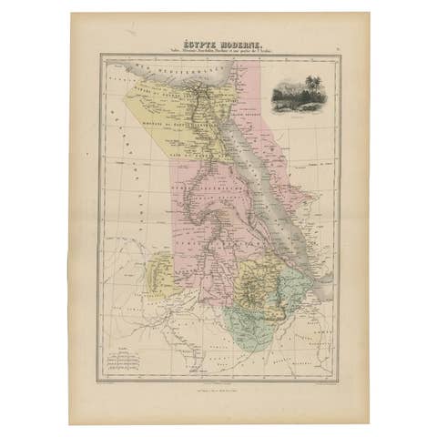
Original 1882 Map of Arabia, Red Sea & Persian Gulf
€ 350
One of a kind: this is the sheet in the photographs. Ships from Langweer, the Netherlands.
Date
1882
Sheet size
38 × 57 cm (15.0 × 22.4 in)
Condition
Good
Reference
BG-13601-2-44
Condition
Good condition, folding line in the middle. The outer borders are slightly discolored due to age, but not the image. This map is ideal for framing. Study the image carefully.
About this sheet
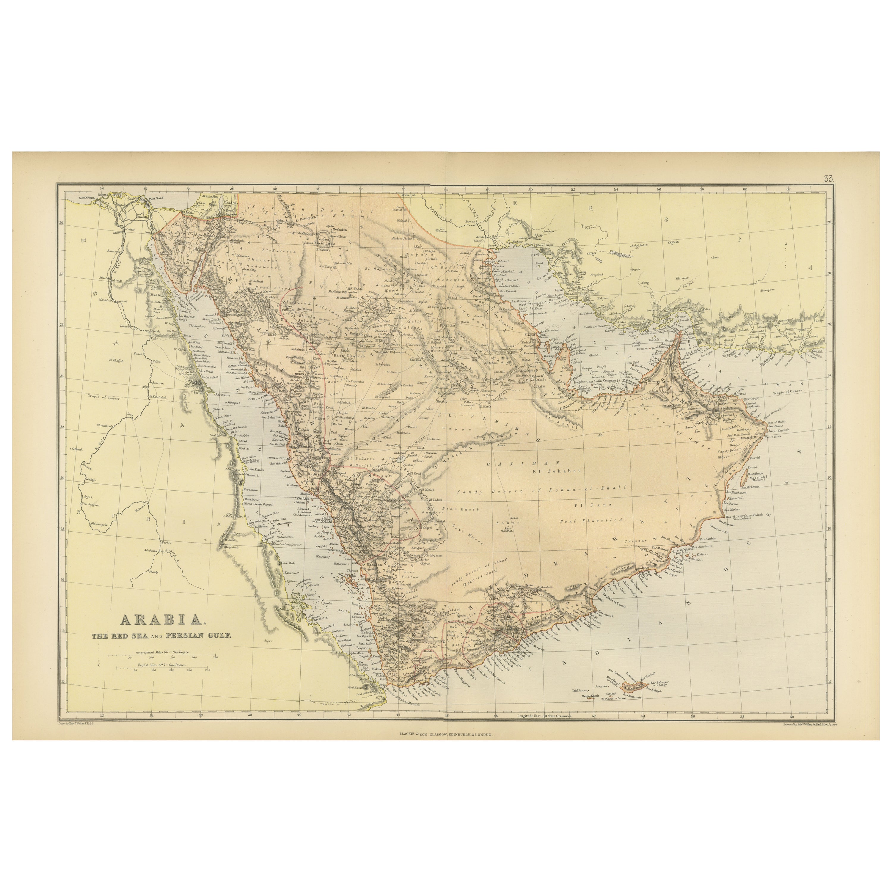
This print is a historically significant map titled "Arabia, the Red Sea, and the Persian Gulf," originally published in 1882 as part of the 'Comprehensive Atlas and Geography of the World.'
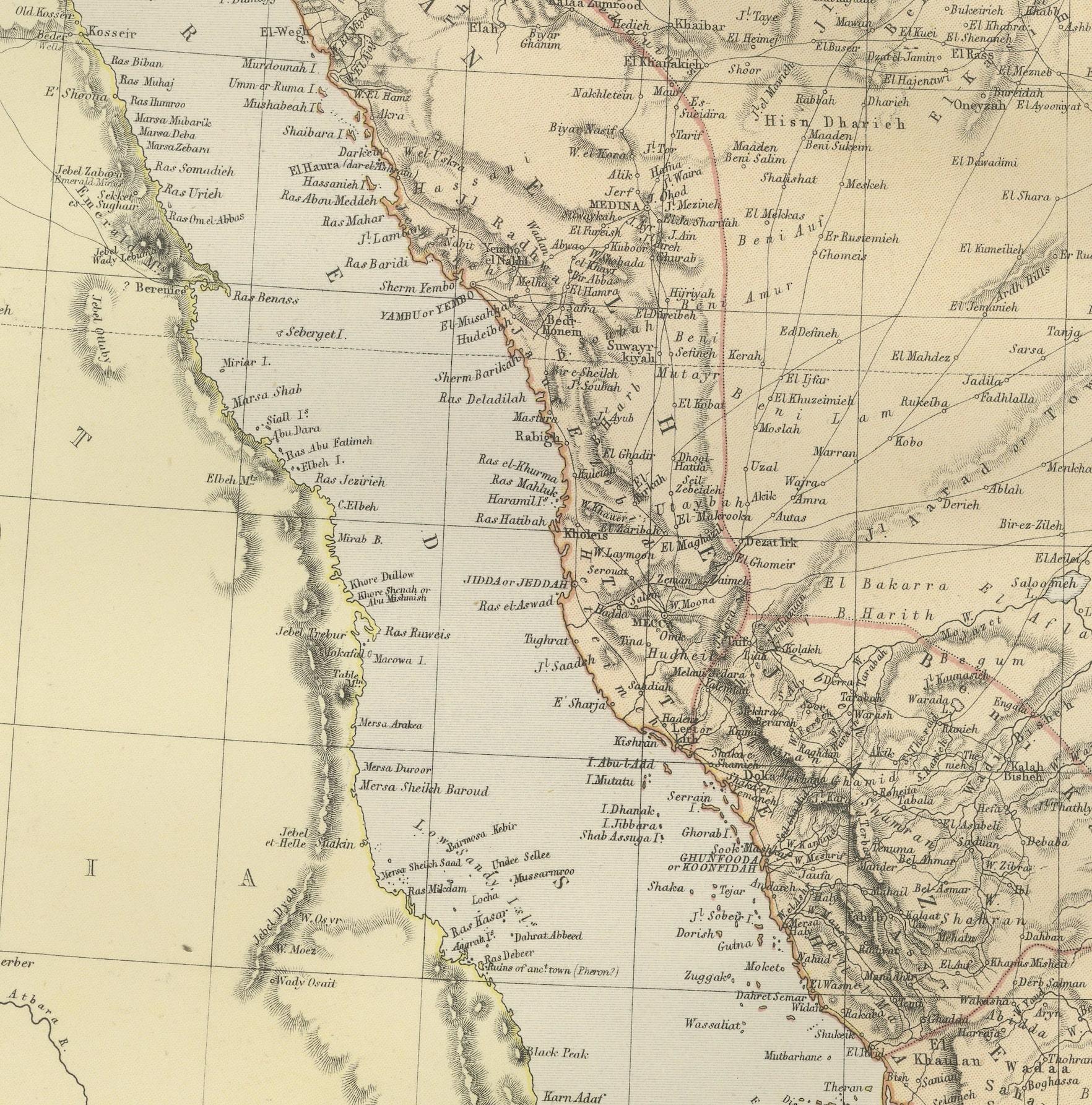
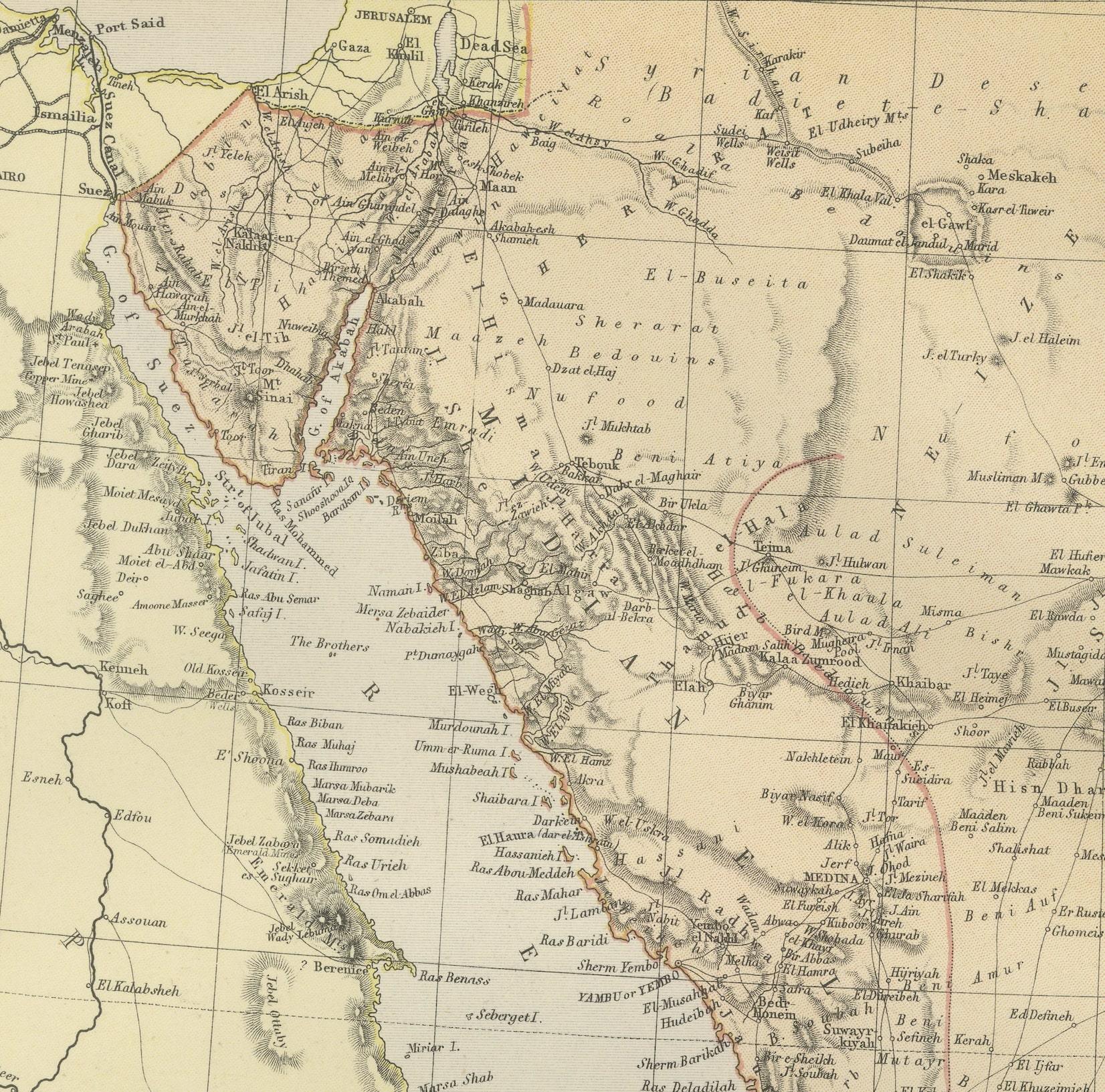
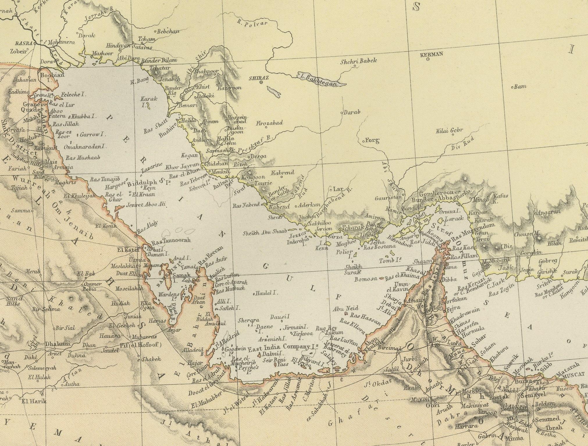
The map is characterized by its meticulous detail and the fineness of its engravings, indicative of the high cartographic standards of the late 19th century. It showcases the Arabian Peninsula with geographical features such as mountain ranges, river beds, and desert expanses meticulously plotted. Borders of the time are demarcated in colored outlines, highlighting the territorial divisions known to the world at that time.
Important cities and ports are marked, reflecting the trade routes and strategic locations that were significant for navigation and commerce. The map includes nautical lines indicating sea depths and shipping lanes in the Red Sea and Persian Gulf, emphasizing their importance in global maritime routes. The cartouche in the lower-left corner is elegantly styled, bearing the title in a classic typeface that adds to the antique charm of the piece.
The map's grid lines for latitude and longitude provide a precise framework for the period's navigation and exploration. It is printed on paper that has since aged to a warm tone, with the color palette consisting of subtle yet distinct earth tones for landmasses and a gradient of blues for bodies of water, enhancing its aesthetic and functional value. This map not only serves as a geographical reference but also as a historical artifact, offering insights into the knowledge and perspectives of its time.