About this sheet
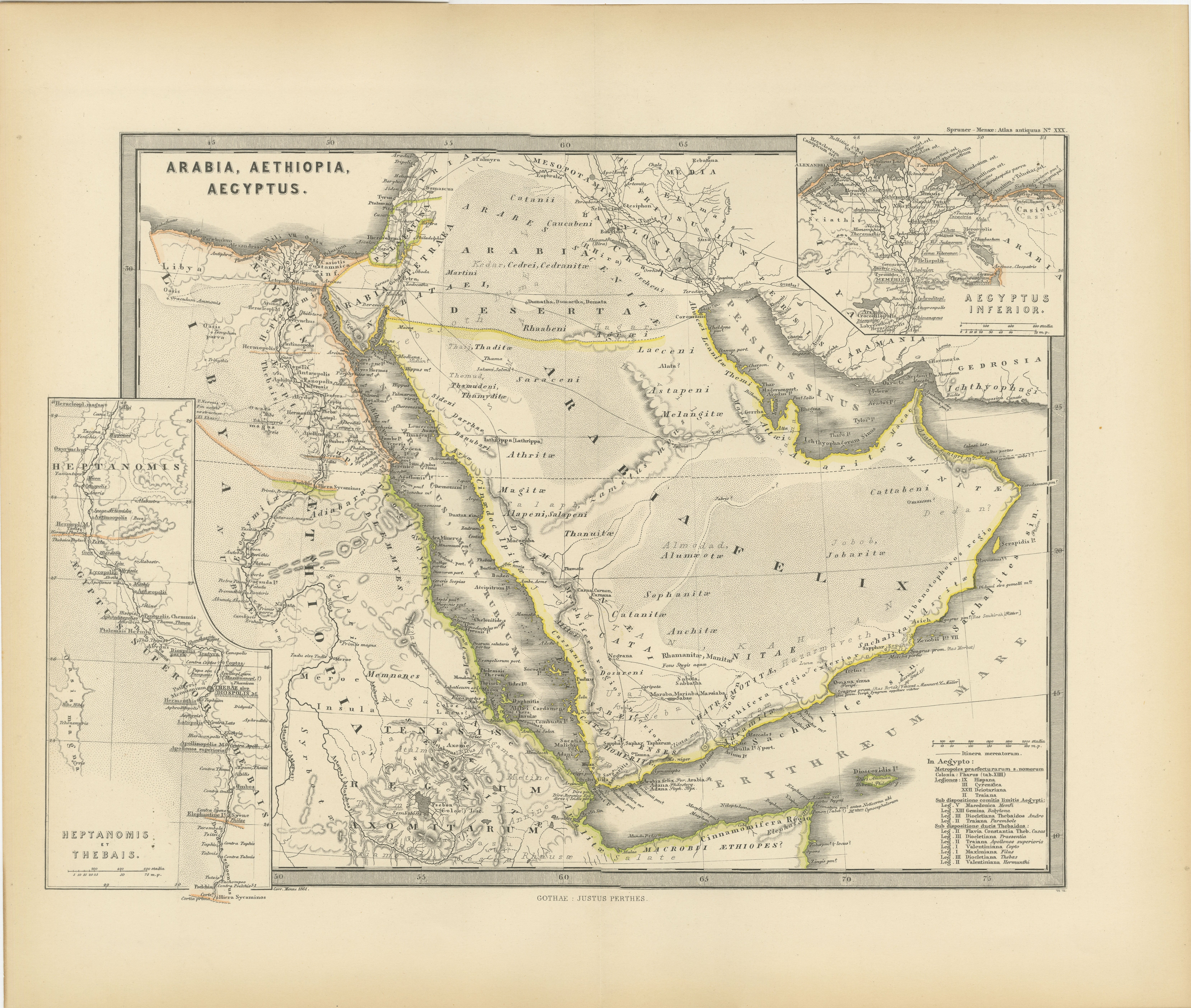
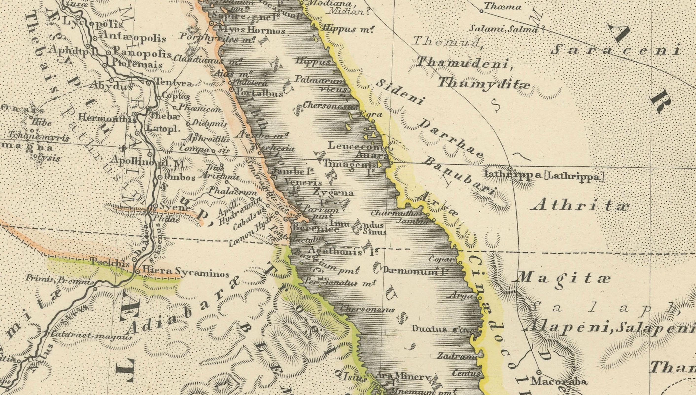
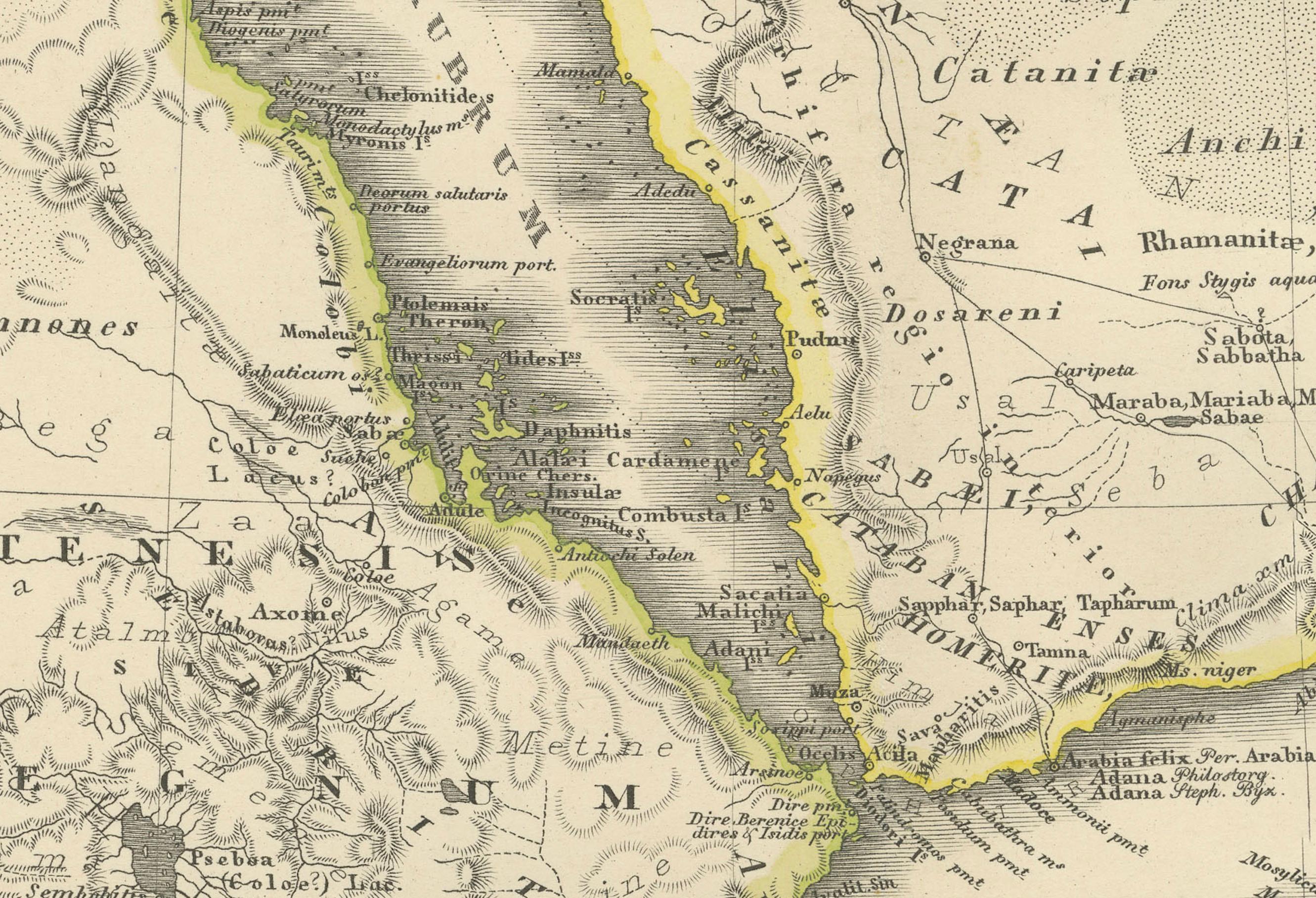
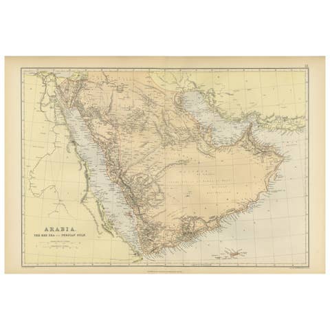
This map, titled "ARABIA, AETHIOPIA, AEGYPTUS," illustrates the regions of ancient Arabia, Ethiopia, and Egypt.
Features that make this map interesting include:
1. **Geographical Span**: It covers a significant portion of the northeast African continent and parts of the Arabian Peninsula, areas rich in history and culture.
2. **Historical Detail**: The map displays detailed information from the ancient world, including the Nile River, the Red Sea, and possibly caravan routes across the desert.
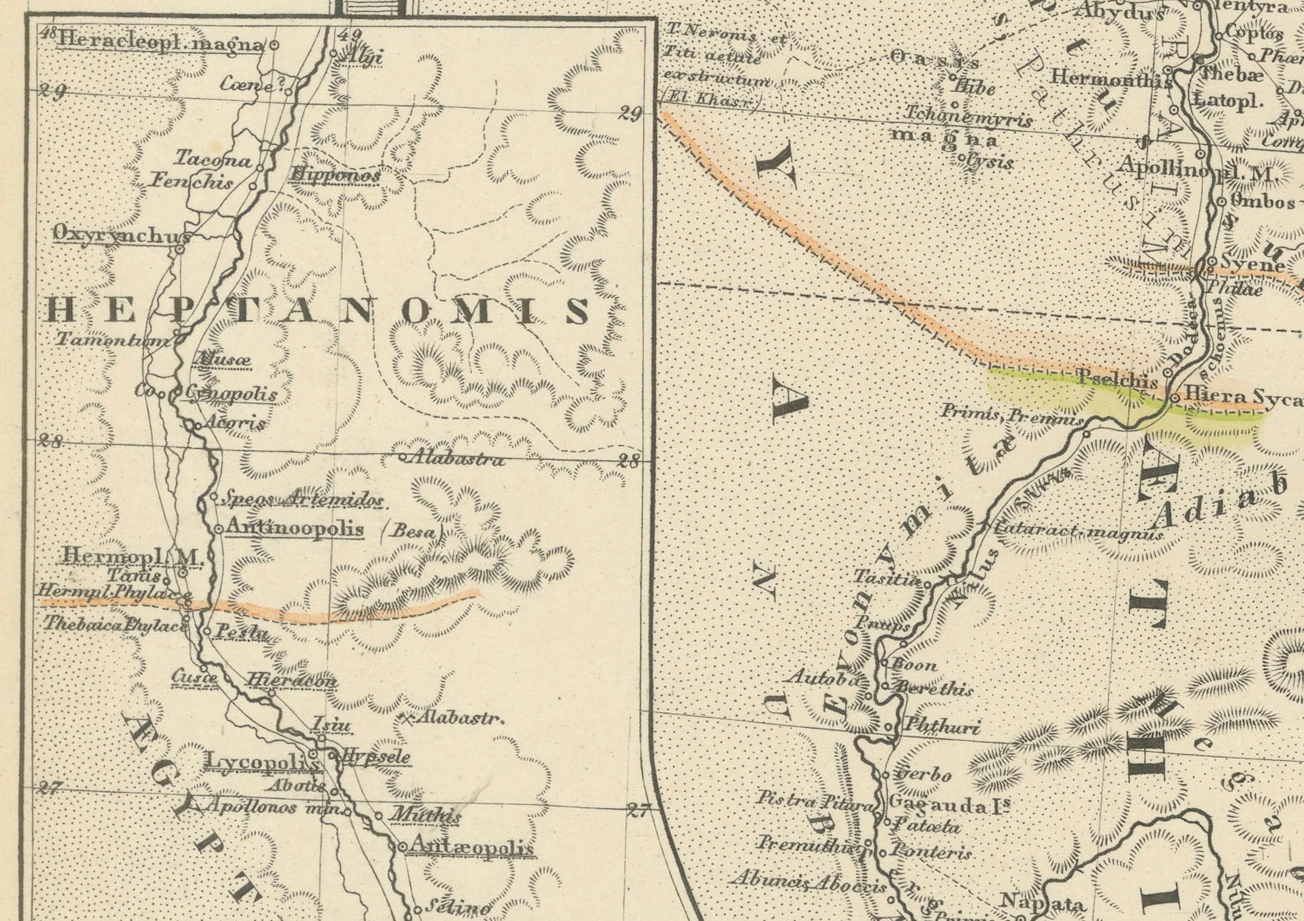
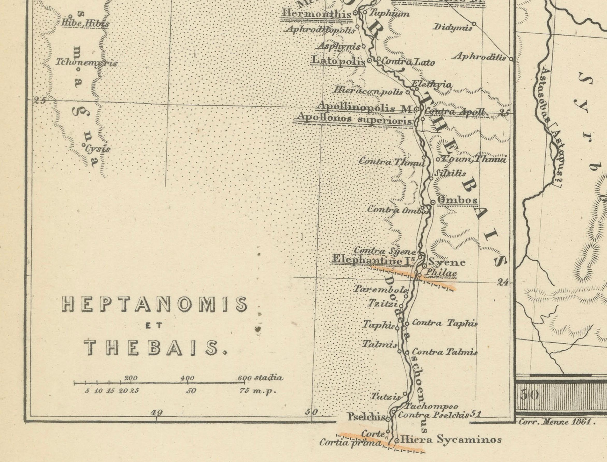
3. **Inset Maps**: The inclusion of inset maps provides detailed views of particular areas, such as "AEGYPTUS INFERIOR" and "HEPTANOMIS, THEBAIS," which show lower Egypt and the Theban region respectively, offering more granular detail about these historically significant locations.
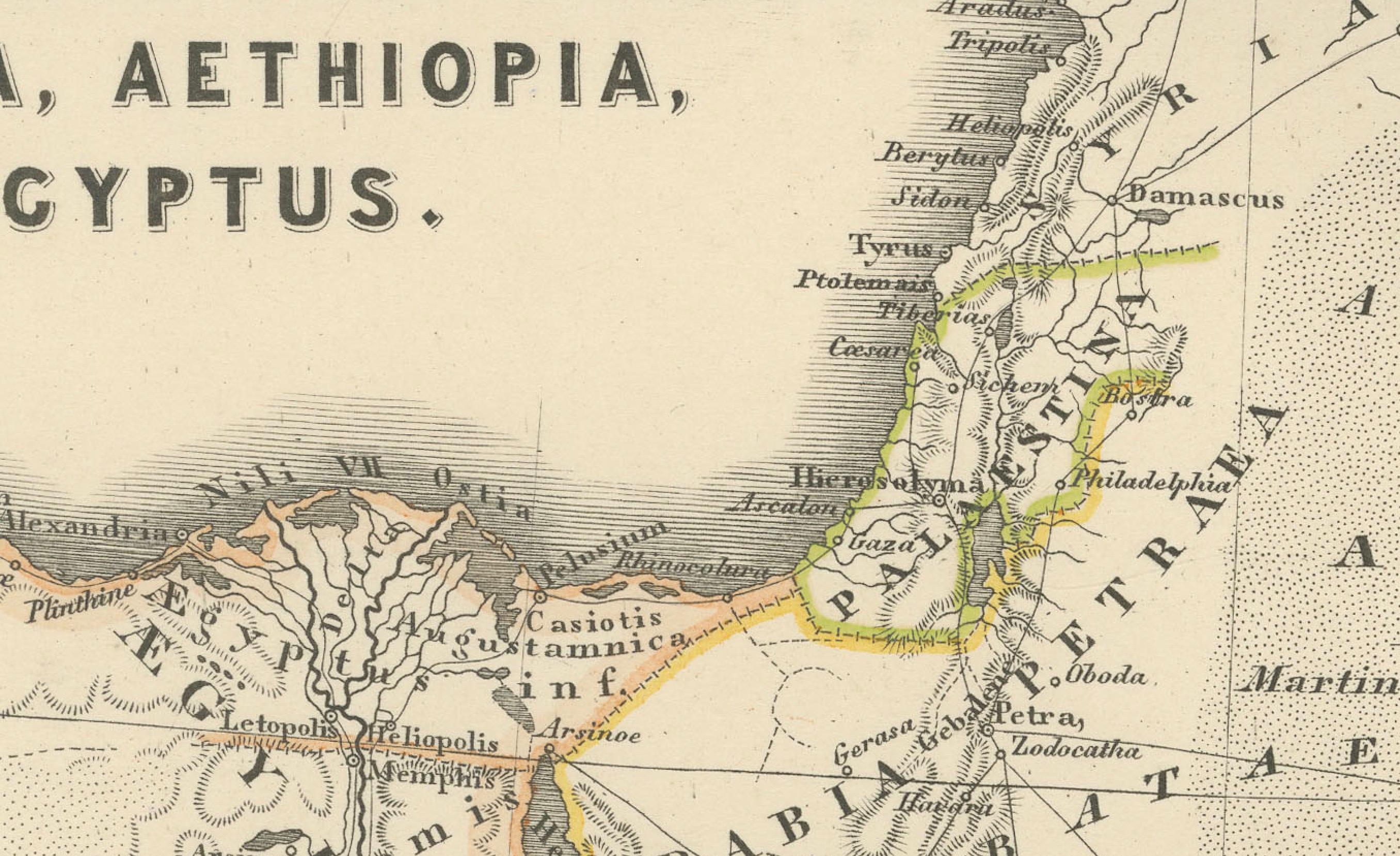
4. **Ancient Cities and Sites**: Locations of ancient cities, temples, and trade centers are likely marked, revealing the advanced civilizations that thrived in these regions.
5. **Topographical Features**: The map shows the varied landscapes, from the mountain ranges in Arabia and Ethiopia to the vast deserts and the fertile Nile valley in Egypt.
6. **Latin Labels**: The use of Latin for place names and descriptions enhances the map's historical authenticity.
7. **Cultural and Political Boundaries**: The boundaries of the regions reflect the political and cultural divisions of the time, providing insight into the ancient kingdoms and empires of Northeast Africa and the Near East.
The period represented by the map is likely during the classical antiquity, specifically during the times when these regions were well-known to the Roman Empire. For Egypt, this would be the period following its conquest by Alexander the Great, its subsequent rule by the Ptolemaic dynasty, and ultimately as a province of Rome after 30 BC. For Arabia and Ethiopia, the period could be reflective of their interactions with the Roman and Hellenistic worlds, which were especially pronounced from the first centuries BC to AD. This map would be particularly interesting to those studying the ancient civilizations of the Nile Valley, the Red Sea trade, and the interactions between Rome and the kingdoms of the Near East and Northeast Africa.
The map is from the "Spruner-Menke Atlas Antiquus," which is a historical atlas created by Karl Spruner von Merz, and later edited by Theodorus Menke. The atlas is known for its detailed maps of historical geographic regions, rendered with great precision and accompanied by scholarly research. These maps were particularly designed for educational use, providing a visual aid for the study of historical and ancient geography. The "Spruner-Menke Atlas Antiquus" is considered a significant work in the field of historical cartography and was published in the late 19th century.