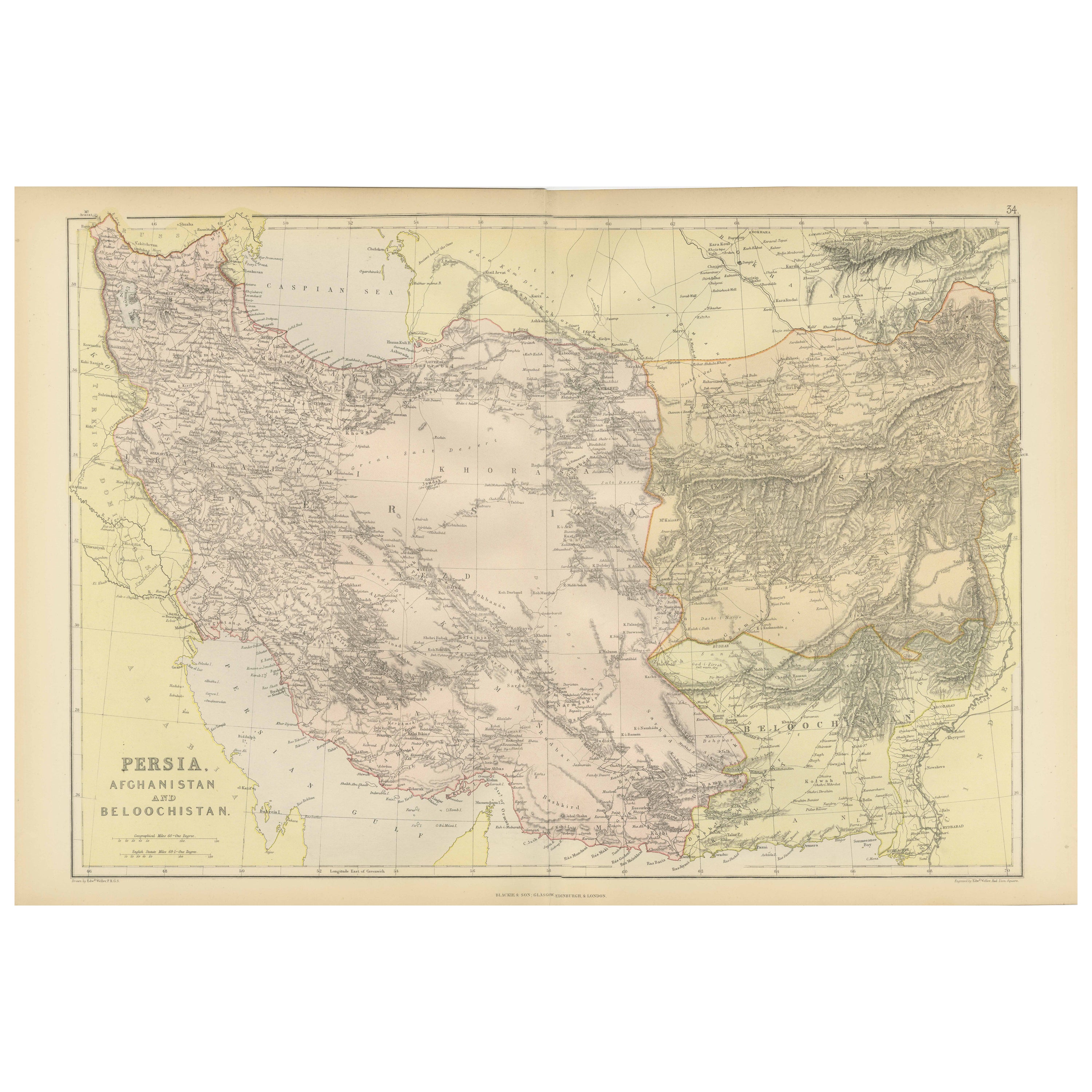
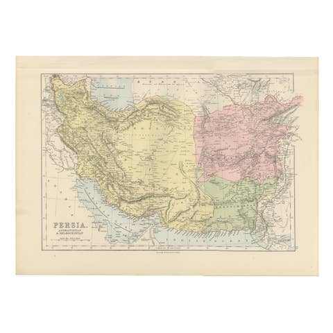
Oriental Realms: A Detailed Map of Persia, Afghanistan, and Beloochistan, 1882
€ 310
One of a kind: this is the sheet in the photographs. Ships from Langweer, the Netherlands.
Date
1882
Sheet size
38 × 57 cm (15.0 × 22.4 in)
Condition
Good
Reference
BG-13601-2-45
Condition
Good condition, folding line in the middle. The outer borders are slightly discolored due to age, but not the image. This map is ideal for framing. Study the image carefully.
About this sheet
This historical map from the 1882 atlas published by Blackie & Son is a comprehensive depiction of Persia (modern-day Iran), Afghanistan, and Baluchistan (the region that includes parts of modern-day Pakistan, Iran, and Afghanistan). It offers an intricate portrayal of the region's topography, settlement patterns, and geopolitical boundaries as understood in the late 19th century.
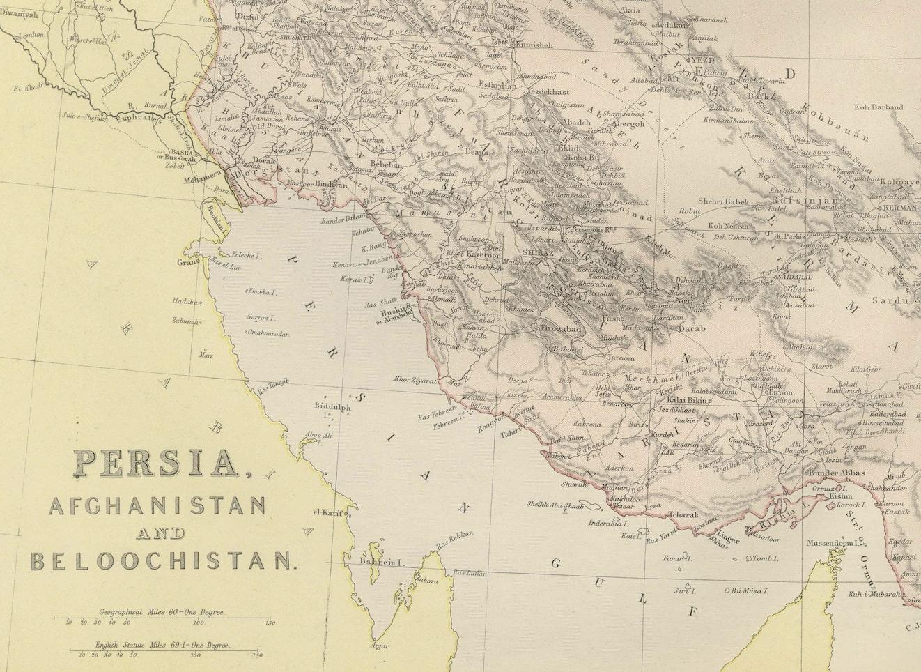
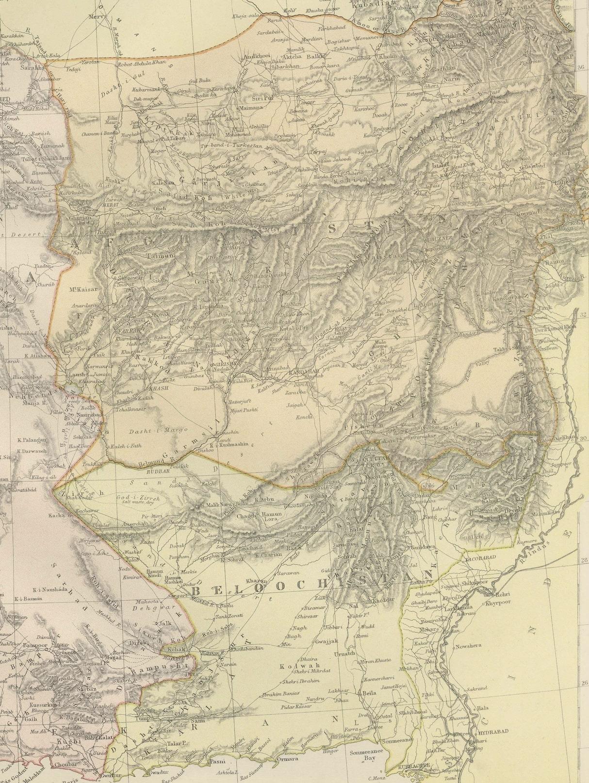
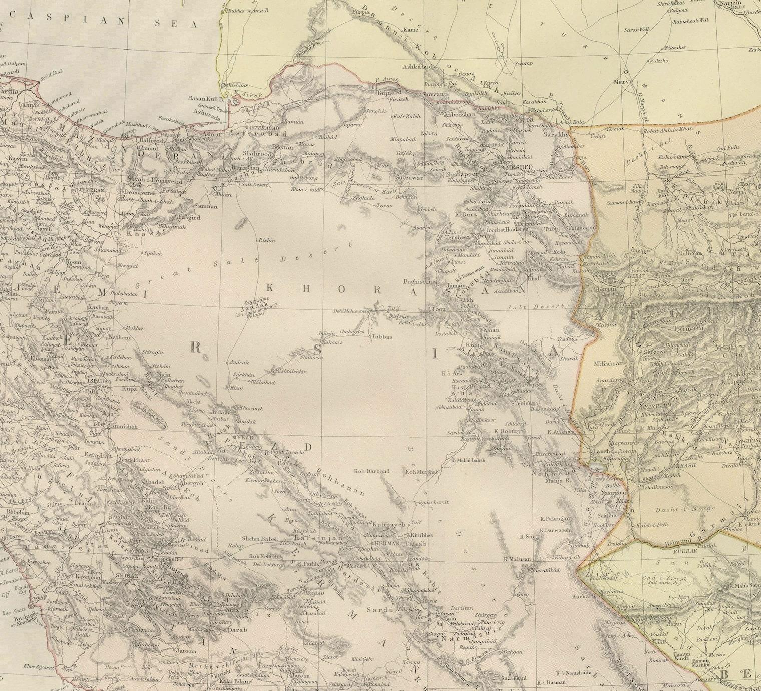
The map is rendered with a remarkable level of detail, highlighting the complex terrain of the area with the use of hachure lines to indicate mountains and elevation. The Zagros and Elburz mountain ranges in Persia are prominently featured, illustrating the rugged landscapes that have historically shaped travel and settlement in the region.
Political boundaries are marked with colored lines, differentiating the three regions while also demarcating the smaller subdivisions within them. Cities and towns are pinpointed, with major urban centers such as Tehran, Kabul, and Quetta given prominence. This reflects not only their contemporary significance but also their roles as centers of trade and governance.
Rivers, lakes, and other bodies of water are carefully charted, serving as vital lifelines for the communities they support. The map also traces the routes of important passes, such as the Khyber Pass, underscoring their strategic importance in trade and military history.
This map would have been a crucial resource for explorers, traders, and imperial strategists, providing a wealth of information essential for navigation and understanding the complex dynamics of the region. As a document, it encapsulates the blend of knowledge and assumption characteristic of the period, offering a snapshot of the Great Game era when the British and Russian empires vied for influence in Central Asia.