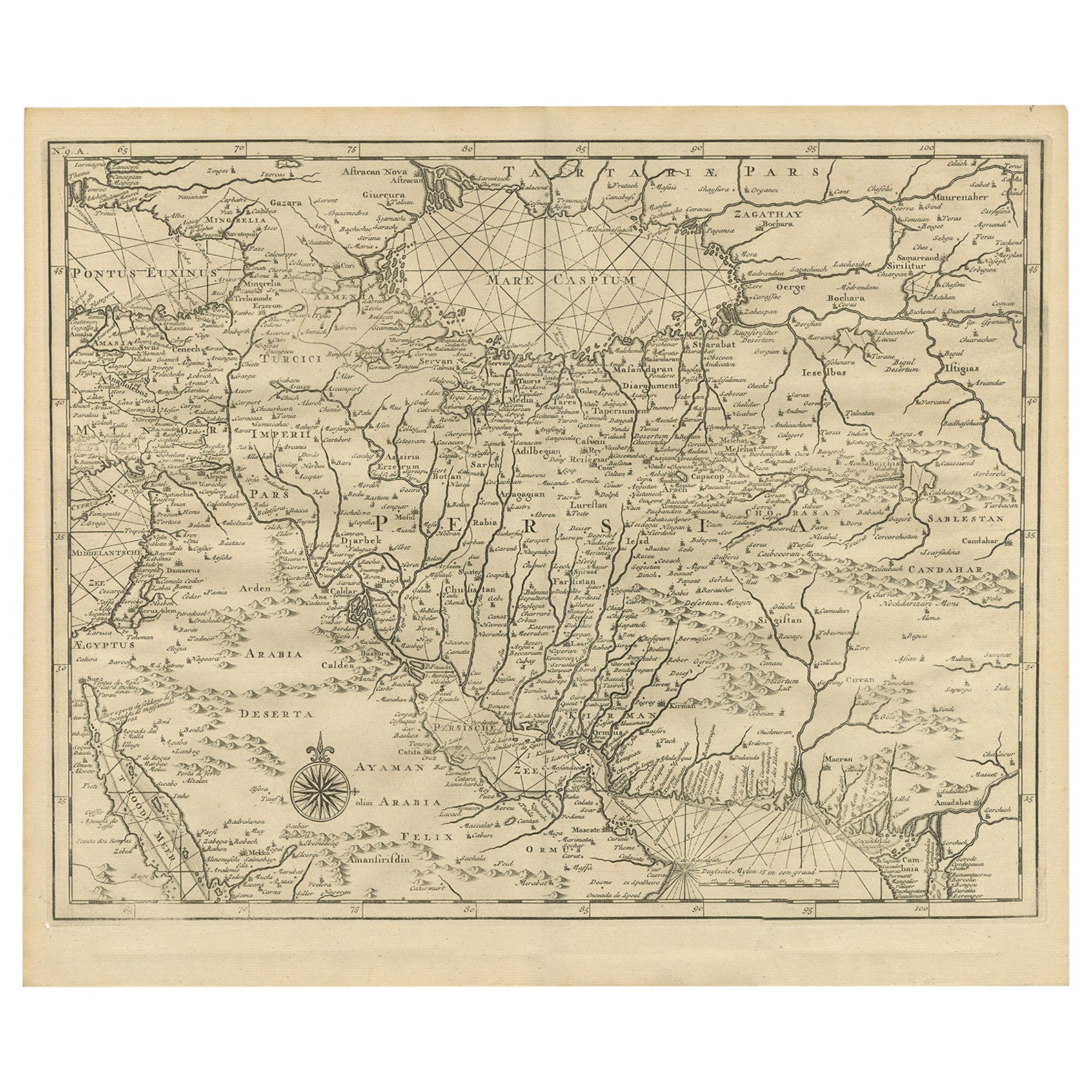
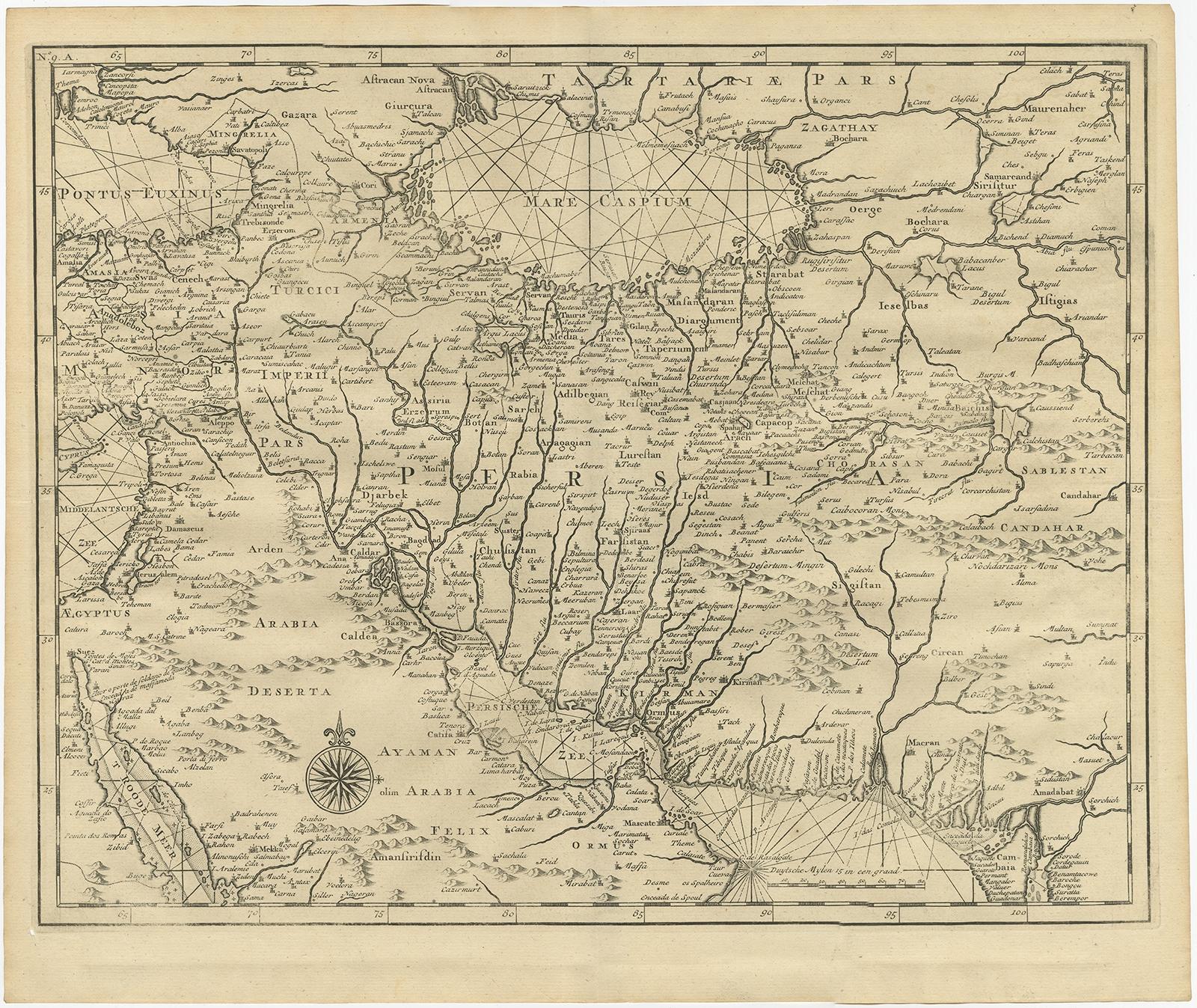
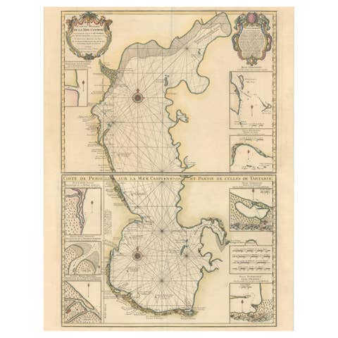
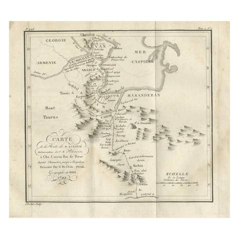
Old Map of Persia, incl the Caspian Sea and Part of the Arabian Peninsula, 1726
€ 1 100
Original antique · The actual sheet photographed · Certificate of authenticity on request · Sold unframed · Worldwide shipping from € 15 (rates)
Date
1726
Sheet size
34 × 40 cm (13.4 × 15.7 in)
Condition
Good
Reference
BGRN-239
Condition
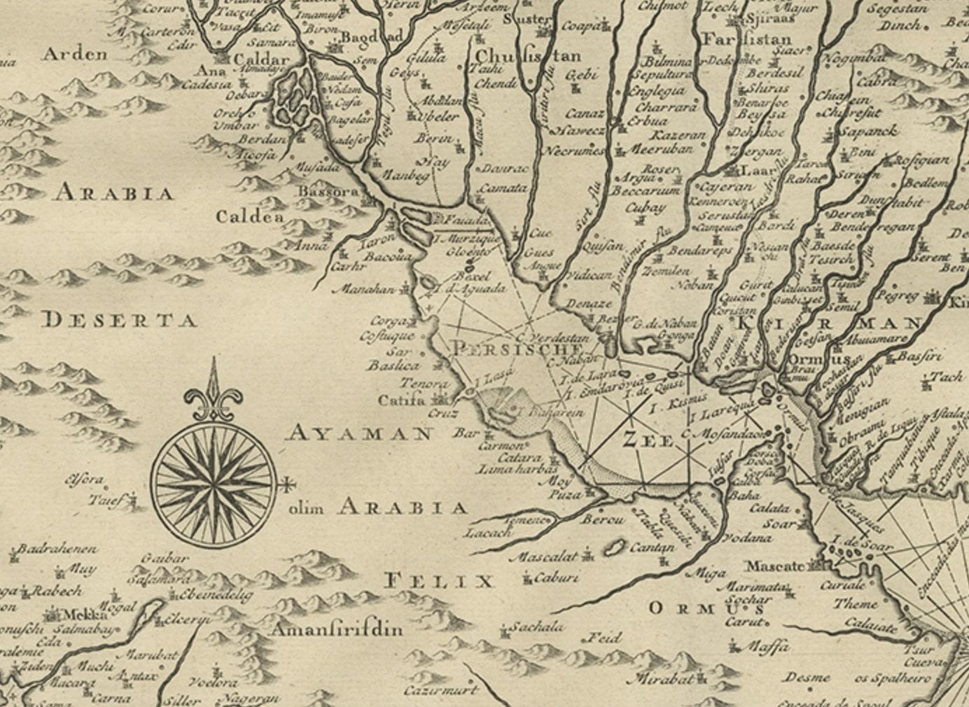
General age-related toning and some foxing/minor defects. Please review the images for further condition details.
About this sheet
Antique map of Persia. It covers from the Gulf of Suez eastward to Ahmedabad (Amadabad) in modern day western India.
This map, centered on Persia, includes the Caspian Sea and part of the Arabian Peninsula. This print originates from 'Oud en Nieuw Oost-Indiën' by F. Valentijn.
Artists and Engravers: François Valentijn (1666-1727), a missionary, worked at Amboina from 1684 to 1694 and 1705 to 1713 and travelled extensively in the VOC's lands.
Condition: Good, general age-related toning and some foxing/minor defects. Please study image carefully.