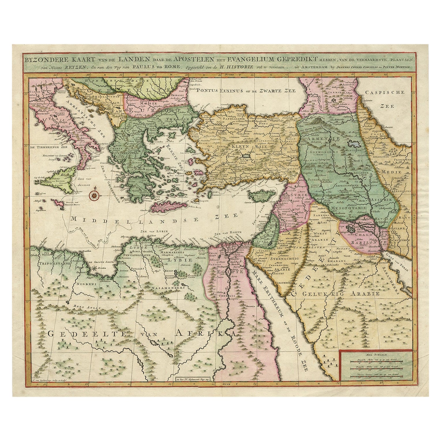
Highly Decorative Map of The Eastern Mediterranean and The Middle East, ca.1700
€ 950
Original antique · The actual sheet photographed · Certificate of authenticity on request · Sold unframed · Worldwide shipping from € 15 (rates)
Date
1700
Technique
Engraved
Sheet size
42.5 × 50.5 cm (16.7 × 19.9 in)
Condition
Good
Reference
PCT-61458
Condition
Given age. Several small creases bottom left and right corner. Some minor spots. Original middle fold as issued. General age-related toning and/or occasional minor defects from handling. Please review the images for further condition details.
About this sheet
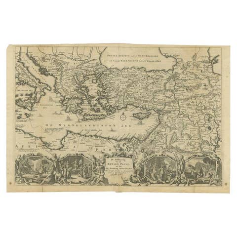
Antique map titled 'Byzondere Kaart van de Landen Daar de Apostelen Het Evangelium Gepredikt Hebben (..).'
Highly decorative map of the eastern Mediterranean and the Middle East features the tract of St. Paul from Jerusalem to Rome. The map is filled with mountains, forests, and oases, and is decorated with a compass rose. Source unknown, to be determined.
Artists and Engravers: Made by 'Pierre Mortier' after an anonymous artist. Pieter and David Mortier were booksellers in Paris and have published a wide range of geographical works. After Pieter's death, his widow continued the business until their son Cornelius took over. Cornelius started a partnership with his brother-in-law Johannes Covens and established the famous publishing house "Covens and Mortier" in Amsterdam. They have re-issued Atlases of Sanson, de l'Isle, Visscher and de Wit.
Condition: Good, given age. Several small creases bottom left and right corner. Some minor spots. Original middle fold as issued. General age-related toning and/or occasional minor defects from handling. Please study image carefully.