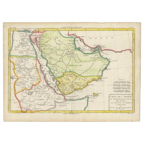
Original Rare Map of the Holy Land Showing the Twelve Tribes of Israel's, 1782
€ 690
Original antique · The actual sheet photographed · Certificate of authenticity on request · Sold unframed · Worldwide shipping from € 15 (rates)
Date
1782
Sheet size
37.5 × 54.8 cm (14.8 × 21.6 in)
Condition
Good
Reference
PCT-61447
Condition
Given age. A few minor spots. Original middle fold as issued. General age-related toning and/or occasional minor defects from handling. Please review the images for further condition details.
About this sheet
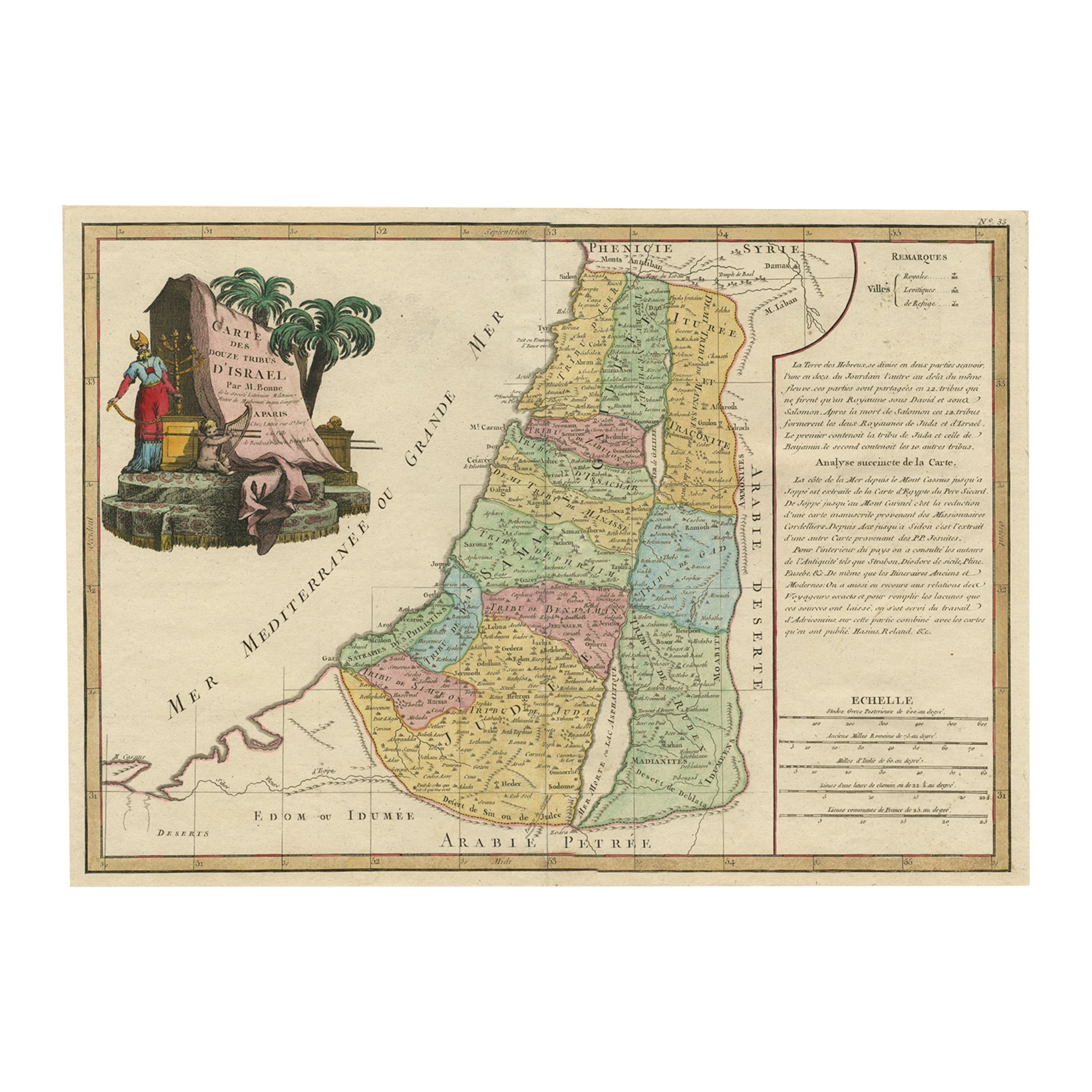
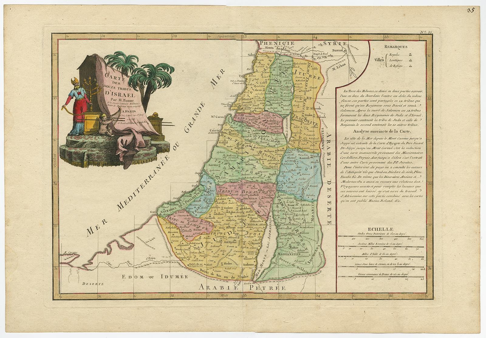
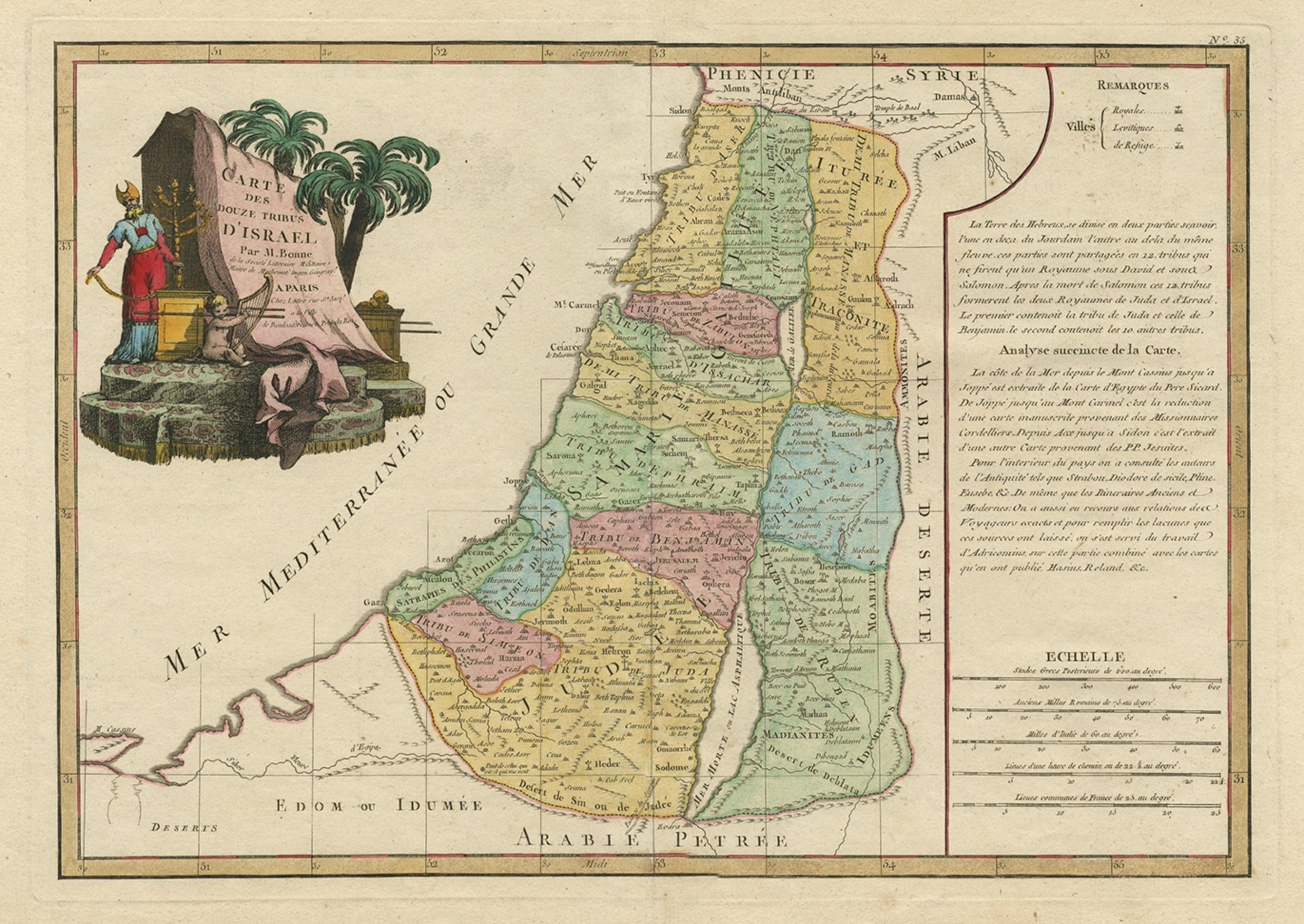
Antique map titled 'Carte des Douze Tribus D'Israel (..).'
Map of the Holy Land showing the twelve tribes of Israel's. Tribes are all named along with numerous place names, towns and villages. Very elaborate title cartouche. On the right side of the map is an inset of text, scale bars and a legend of village symbols, ‘Royales’, ‘Levitiques’ and ‘de Refuge’. Source unknown, to be determined.
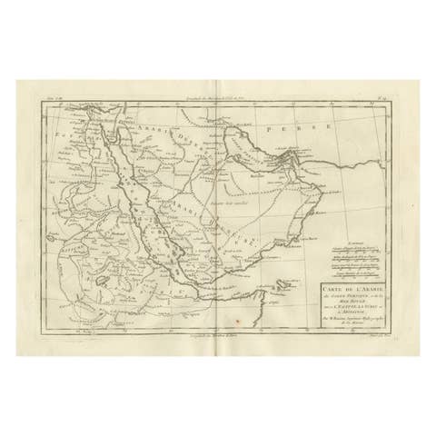
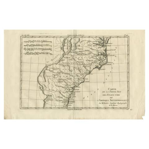
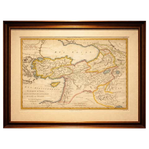
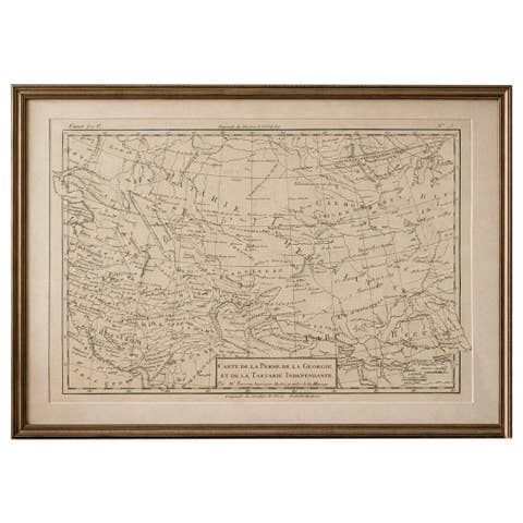
Artists and Engravers: Made by 'Rigobert Bonne' after an anonymous artist. Rigobert Bonne (1727-1795 ) was one of the most important cartographers of the late 18th century. In 1773 he succeeded Jacques Bellin as Royal Cartographer to France in the office of the Hydrographer at the Depôt de la Marine. Working in his official capacity Bonne compiled some of the most detailed and accurate maps of the period. Bonne's work represents an important step in the evolution of the cartographic ideology away from the decorative work of the 17th and early 18th century towards a more detail oriented and practical aesthetic. With regard to the rendering of terrain Bonne maps bear many stylistic similarities to those of his predecessor, Bellin. However, Bonne maps generally abandon such common 18th century decorative features such as hand coloring, elaborate decorative cartouches, and compass roses. While mostly focusing on coastal regions, the work of Bonne is highly regarded for its detail, historical importance, and overall aesthetic appeal.