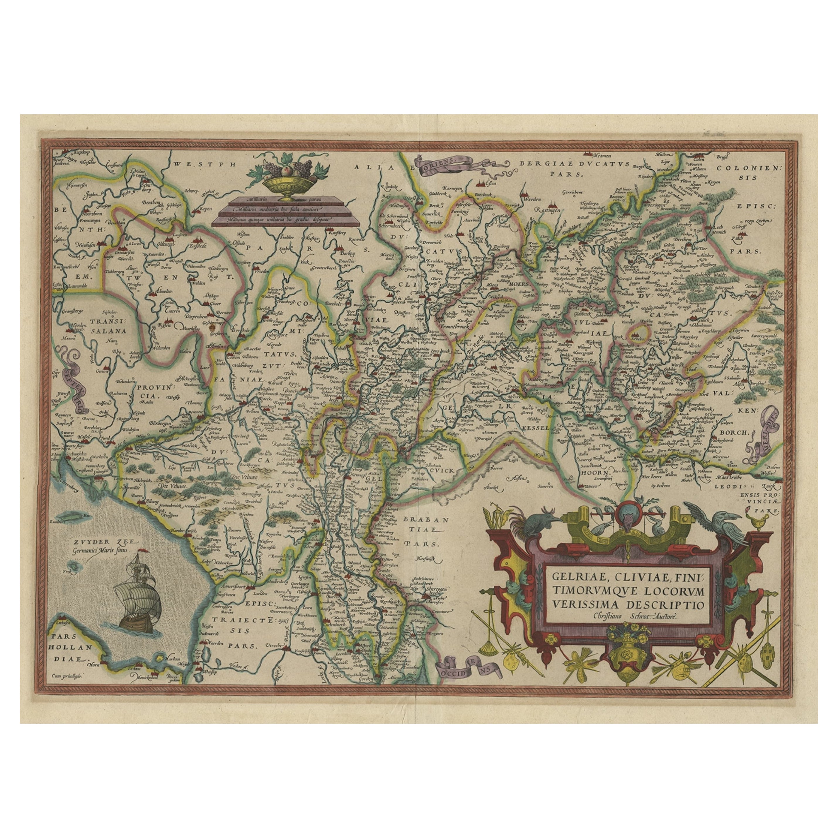
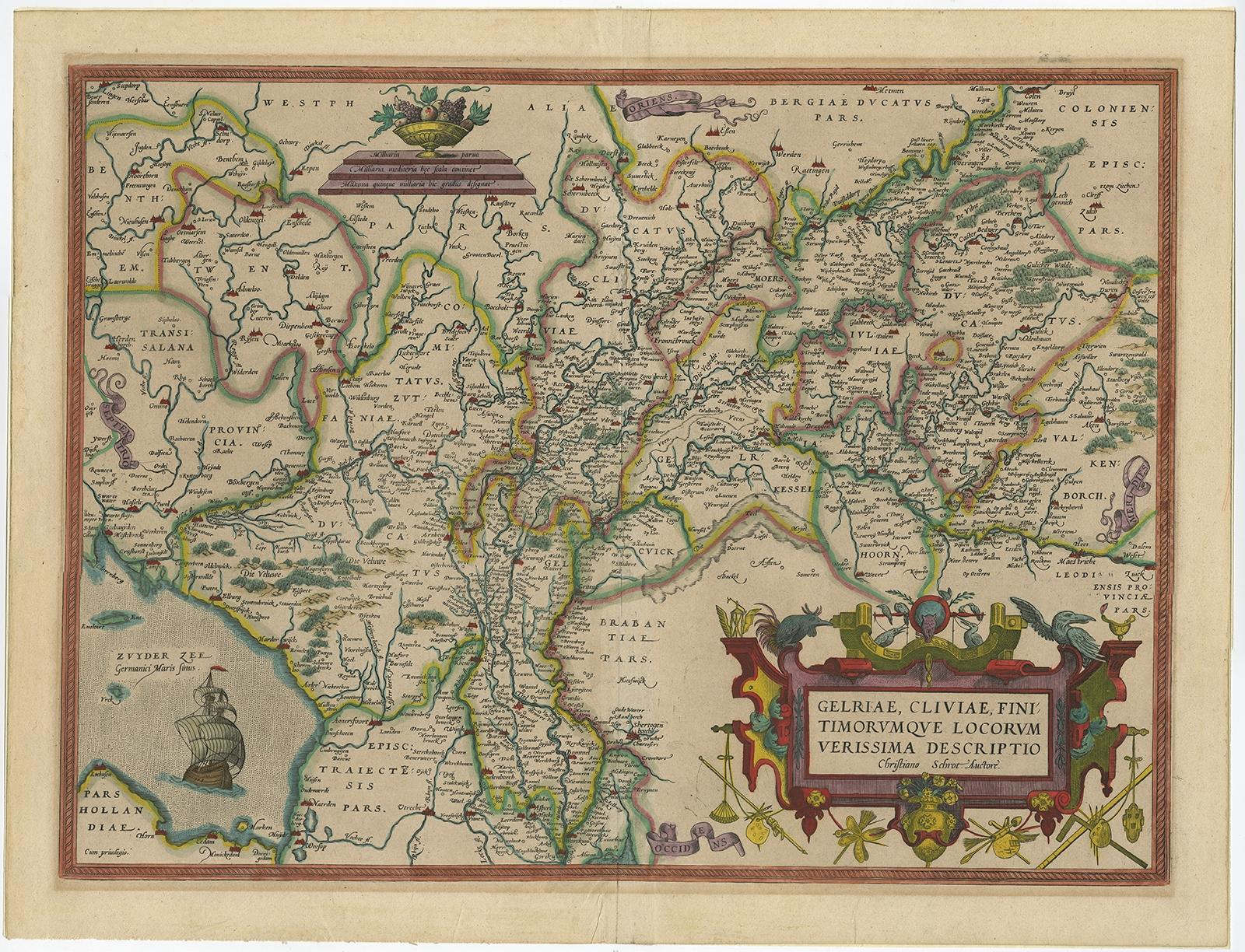
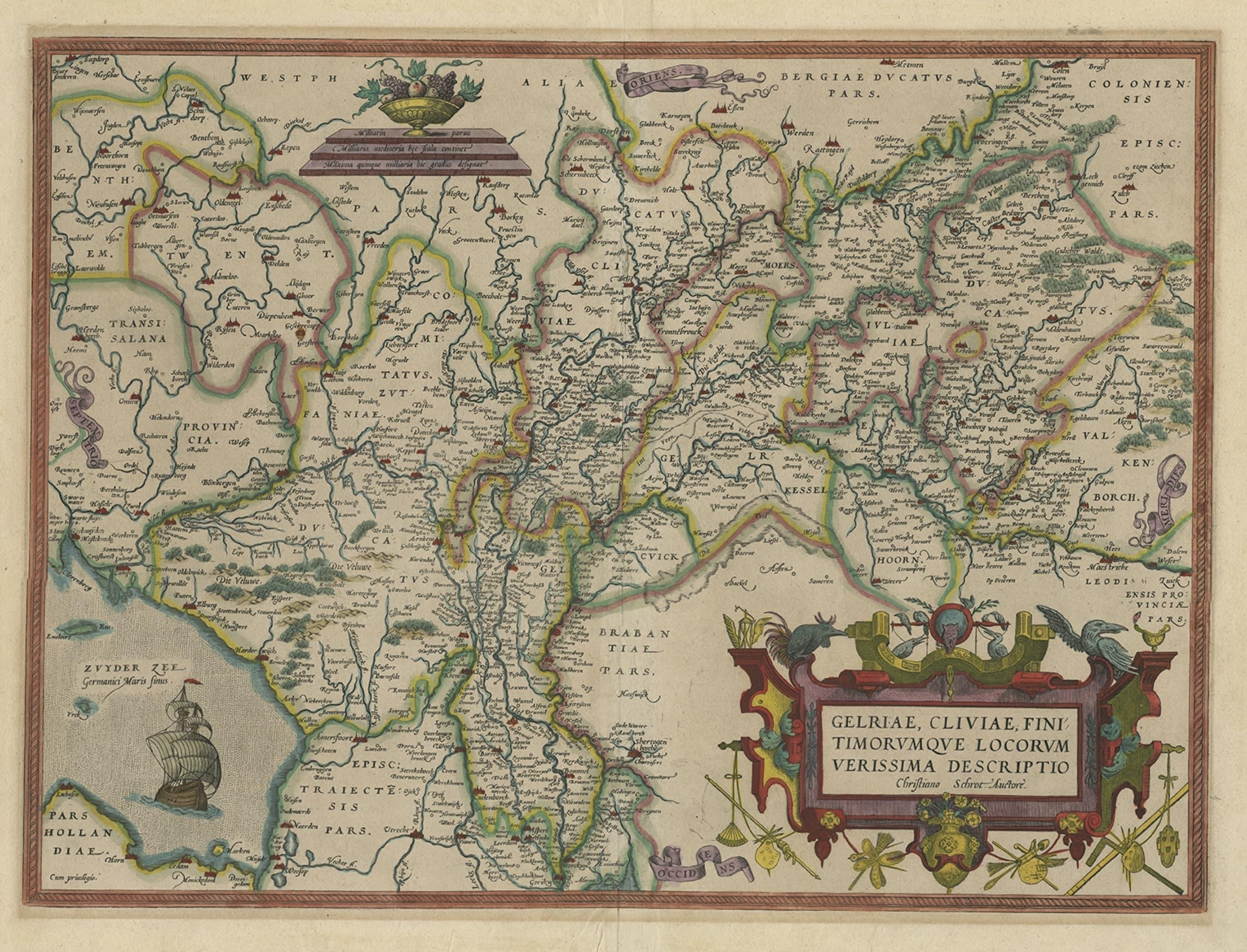
Superb Antique Map of the Province of Gelderland, the Netherlands, ca.1575
€ 1 250
Original antique · The actual sheet photographed · Certificate of authenticity on request · Sold unframed · Worldwide shipping from € 15 (rates)
Date
1575
Sheet size
42.8 × 55.8 cm (16.9 × 22.0 in)
Condition
Good
Reference
PC-58910
Condition
Given age. Edges reinforced on verso with acid free tape. Slight browning in the margins near plate borders. One unobtrusive brown spot in image. Original middle fold as issued. General age-related toning.
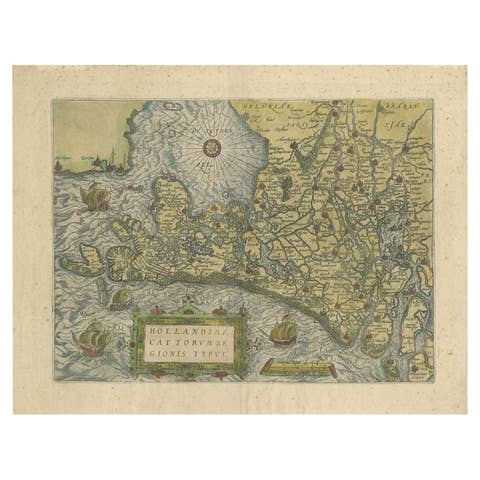
This superb map is Ortelius' first plate covering Gelderland. It is based on Christiaan Sgrothen's map of 1567 and is richly engraved with fine detail particularly along the rivers. The map is oriented with north to the left with ribbon cartouches marking the cardinal directions. A single large ship sails in the Zuyder Zee, a bowl of fruit sits atop the distance scales, and a painter's implements adorn the large title cartouche. Latin text on verso. Source unknown, to be determined.
Artists and Engravers: Abraham Ortelius was born 1528 in Antwerp. He studied mathematics, Greek and Latin and travelled a lot across Europe. He established a business in dealing with books and drawing maps. His first remarkable map was a 8 sheet world map in the year 1564, but only three copies have survived. In 1570 he issued the "Theatrum Orbis Terrarum", the first modern "Atlas" with uniformly sized maps in a systematic collection. The term "Atlas" was not used until Mercator introduced it 20 years later. Most of the maps in Theatrum have been engraved by Frans Hogenberg. At the time of publication, the atlas was the most expensive book ever printed. Nevertheless it was a big success and around 7000 copies have been printed until 1612 in many editions and six different languages. Beside the Theatrum, Ortelius compiled a series of historical maps and published it in the "Parergon Theatri" which was bound with the Theatrum from 1579 onwards or published separately.
Condition: Good, given age. Edges reinforced on verso with acid free tape. Slight browning in the margins near plate borders. One unobtrusive brown spot in image. Original middle fold as issued. General age-related toning and/or occasional minor defects from handling. Latin text on verso. Please study image carefully.