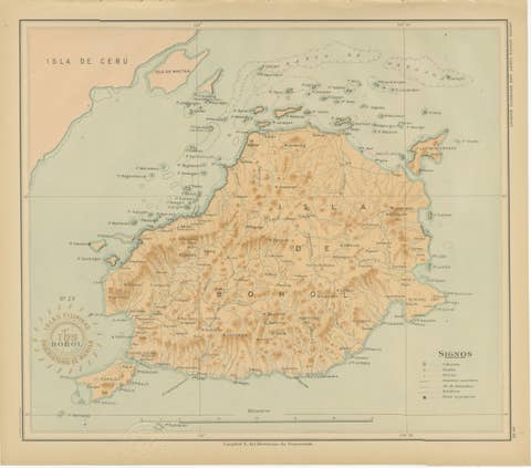
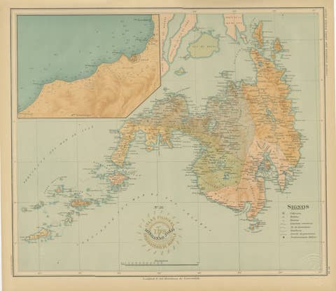
About this sheet
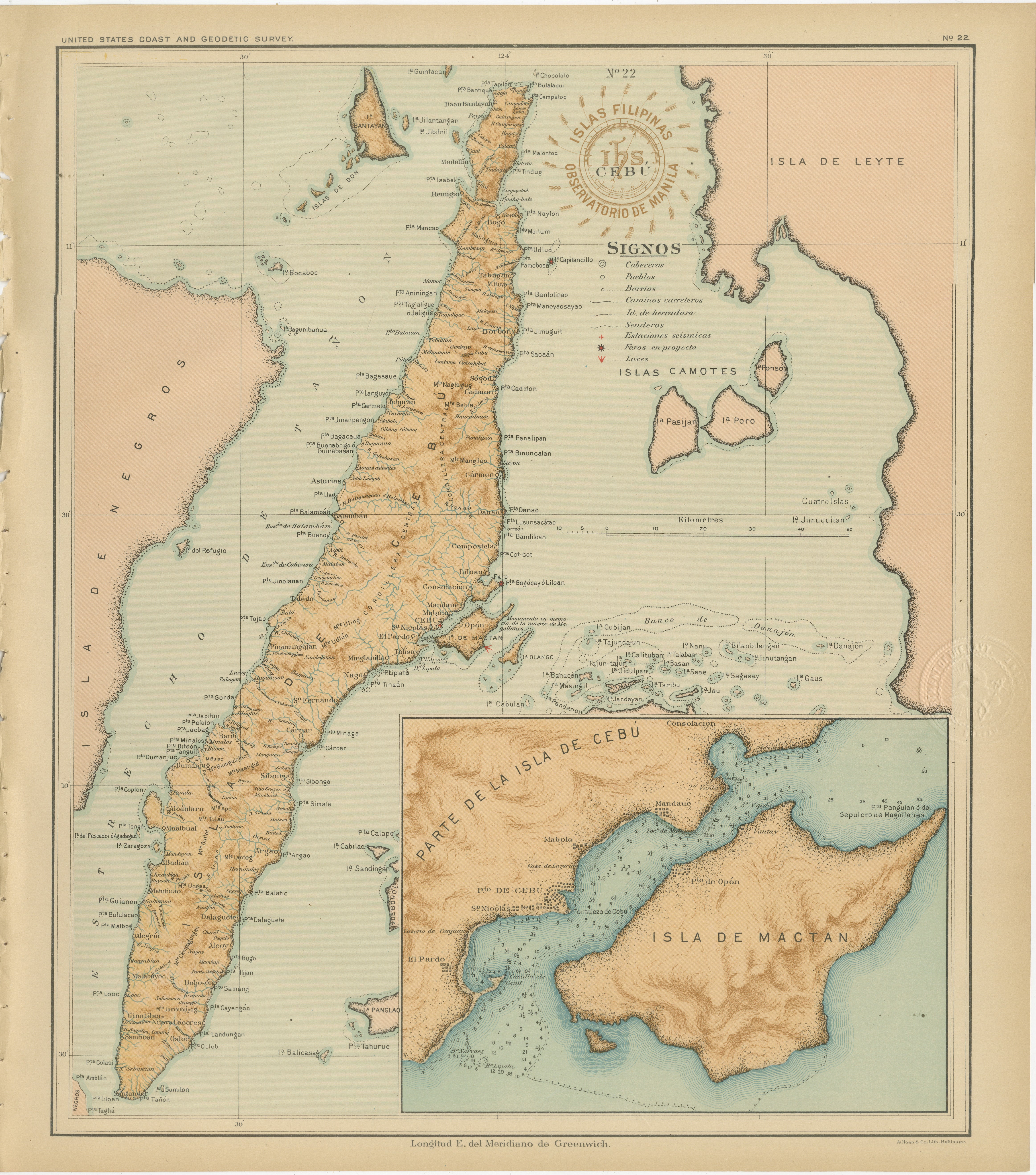
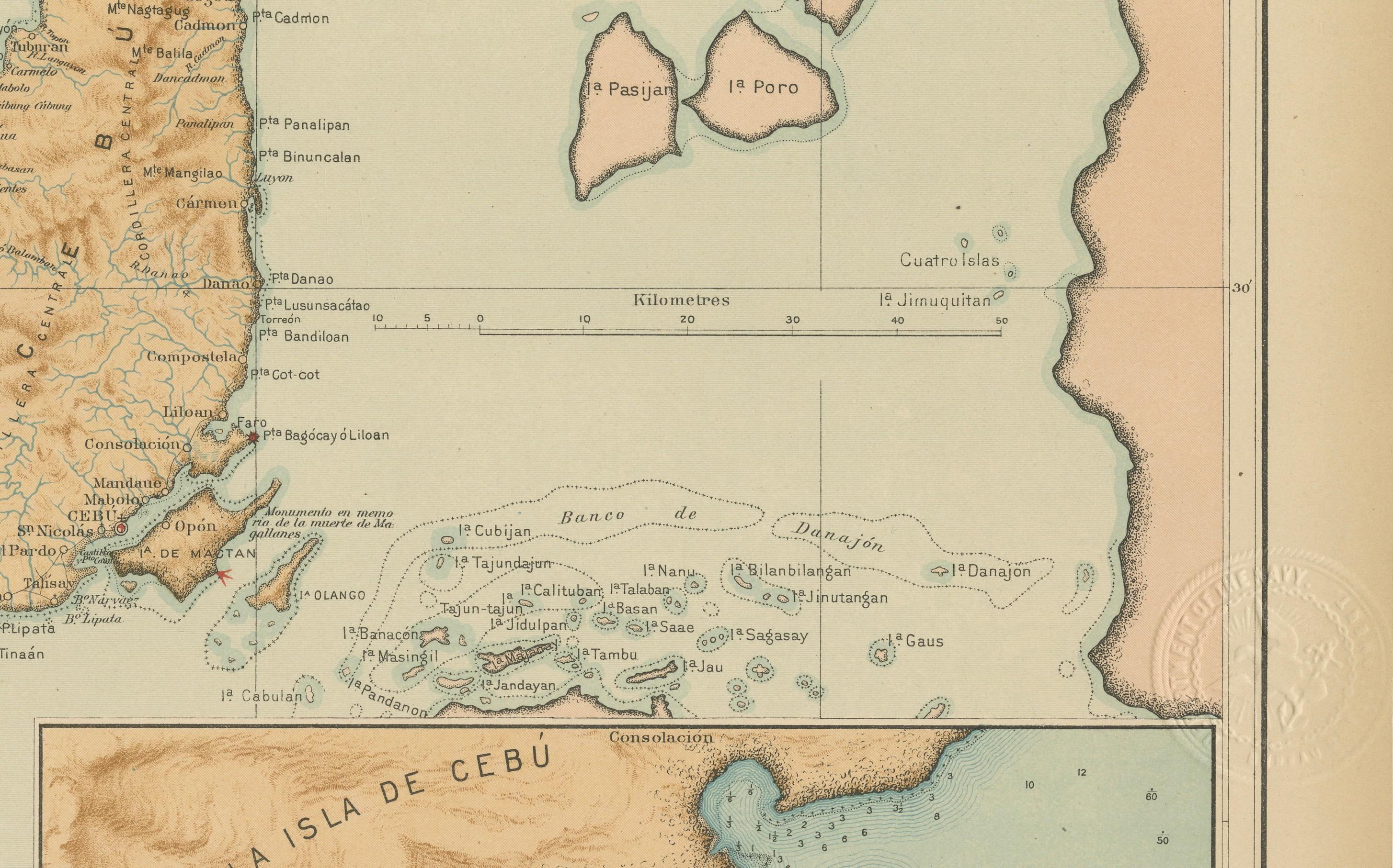
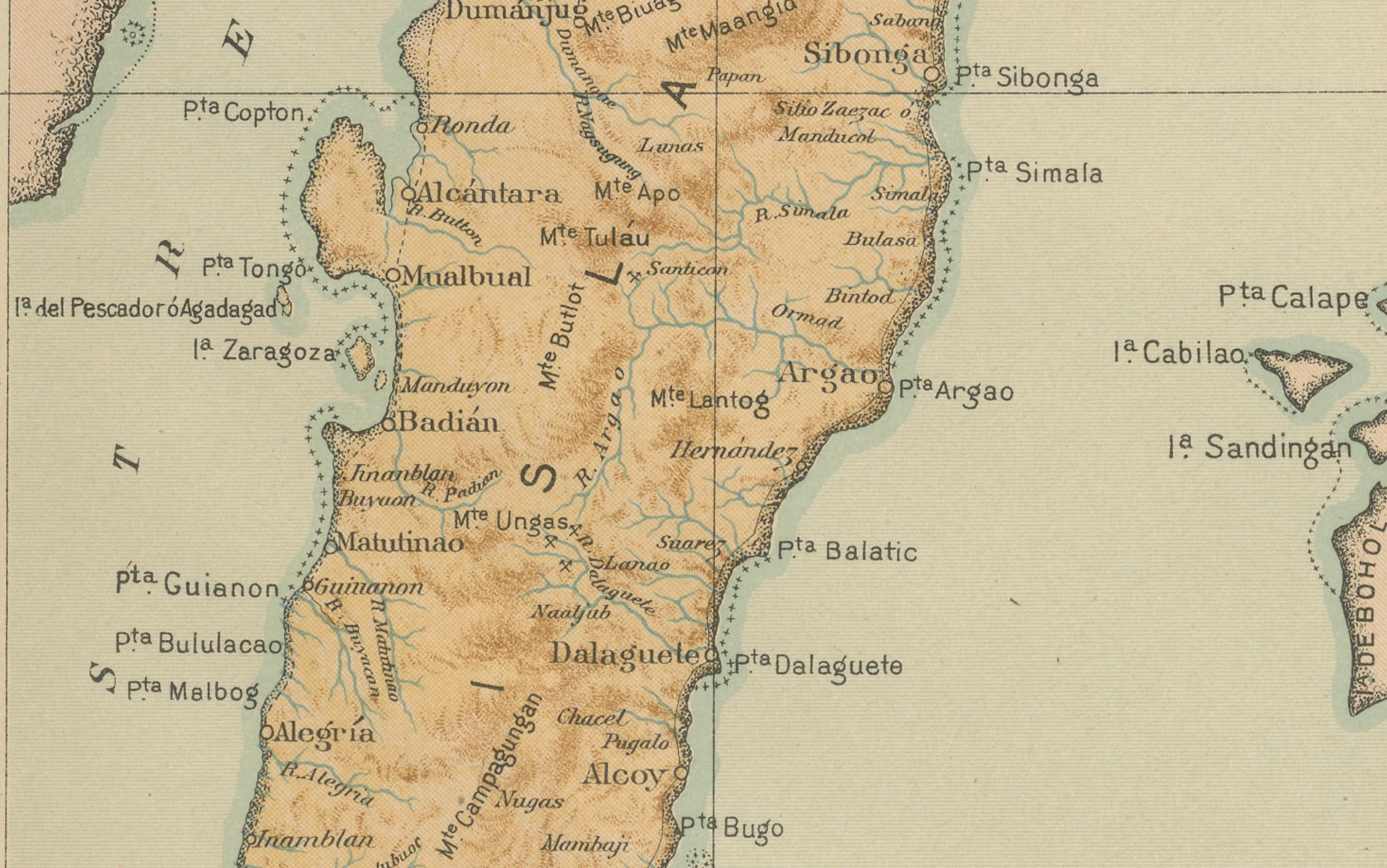
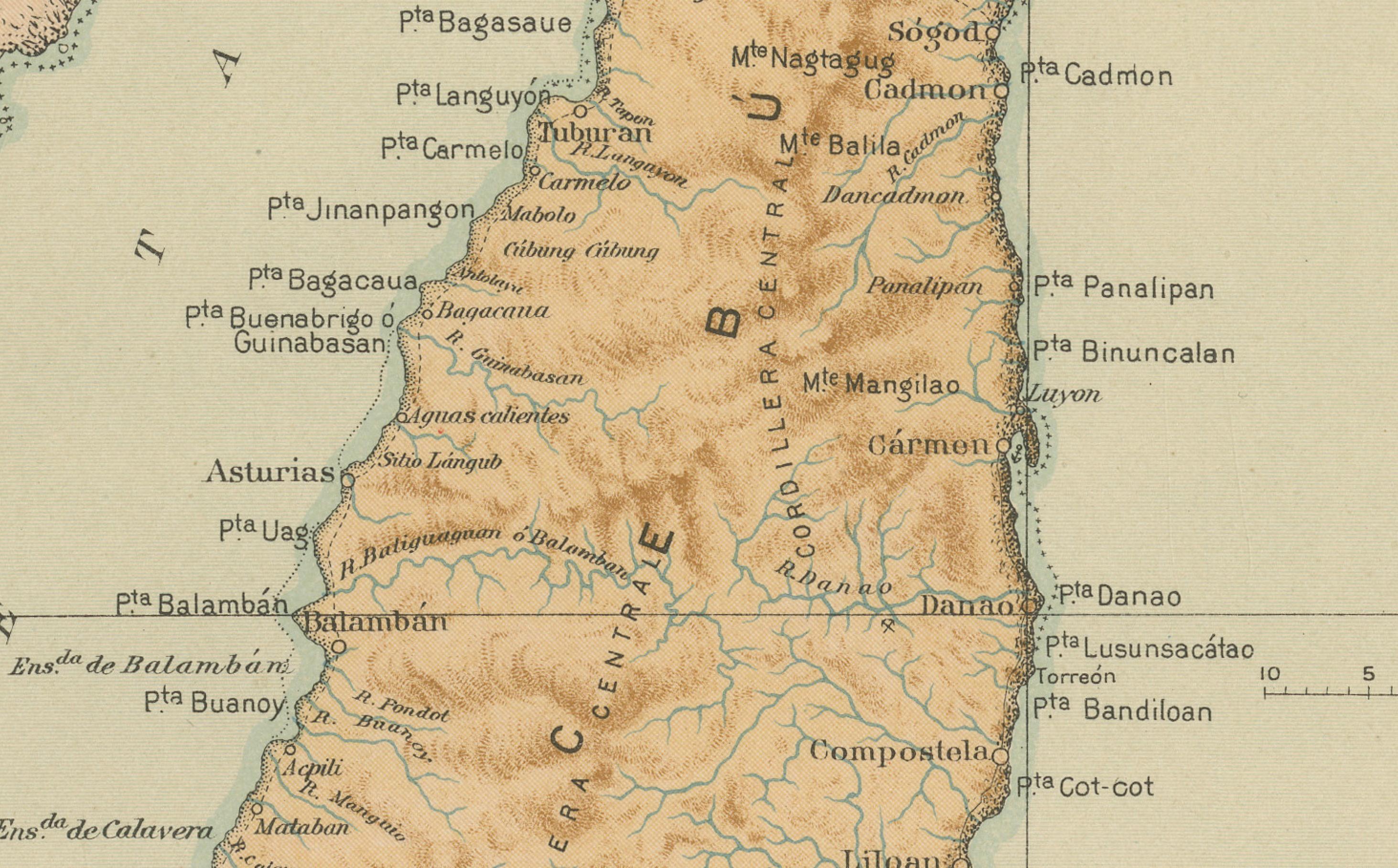
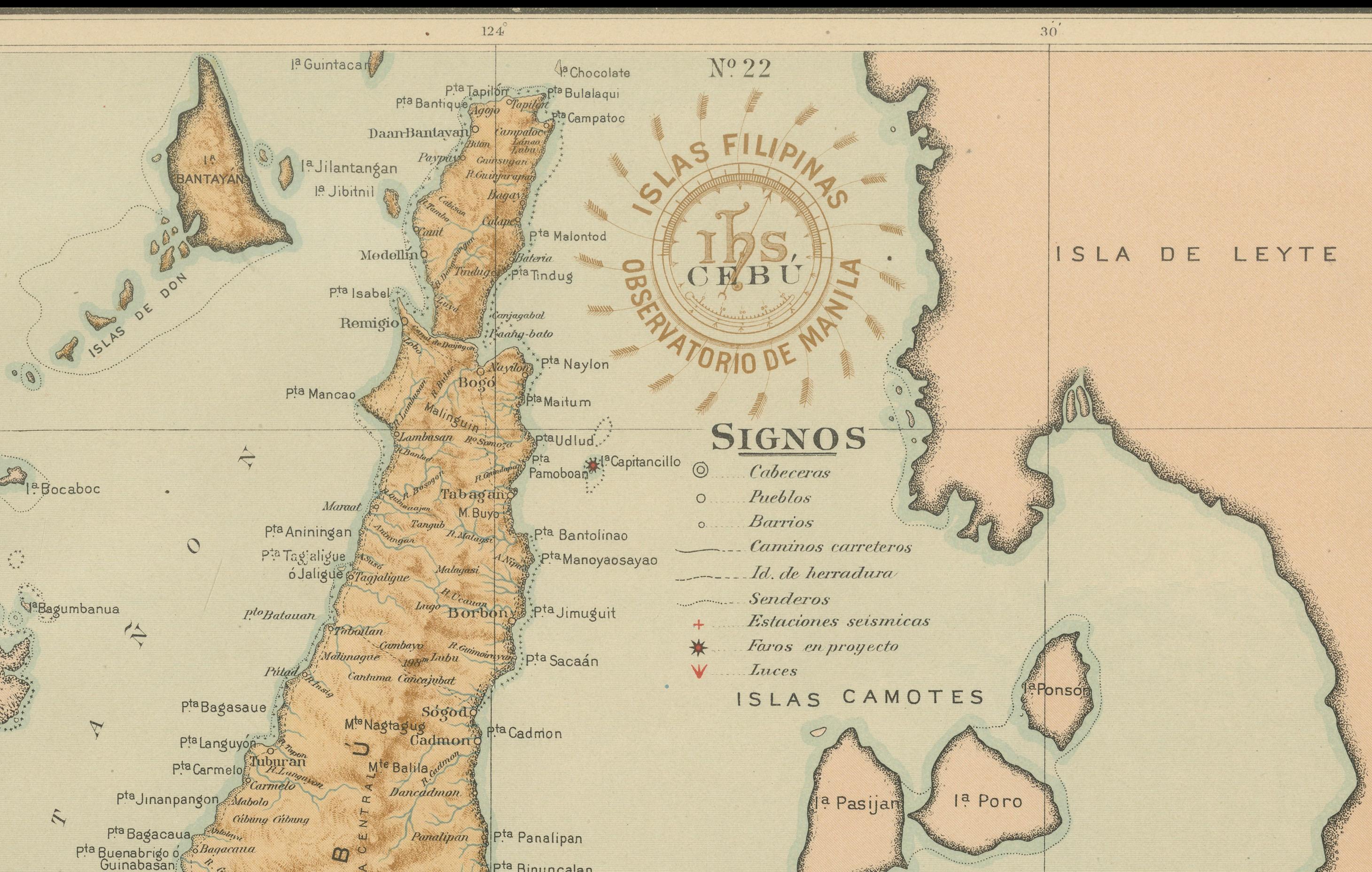
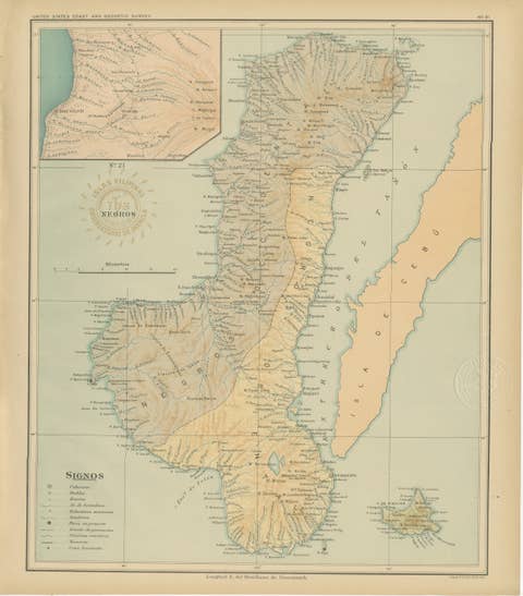
This fine chromolithographed map titled “Islas Filipinas – Isla de Cebú” was created under the direction of Rev. José Algué, S.J., Director of the Observatorio de Manila, and published in 1899 as Plate No. 22 from the Atlas de Filipinas. It provides a detailed geographical representation of Cebu, one of the principal islands of the central Visayas, along with neighboring islands including the Camotes group and parts of Leyte and Negros.
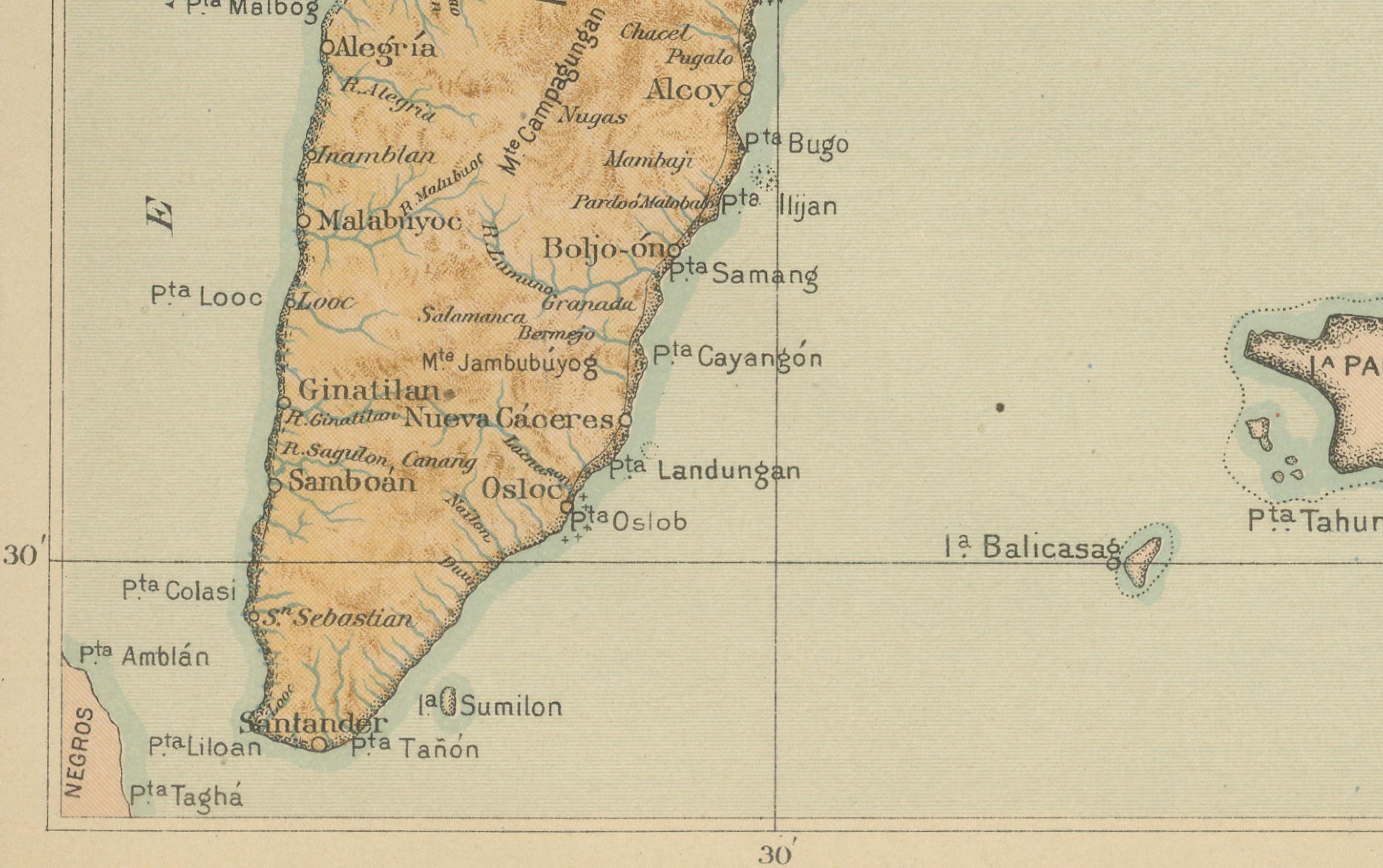
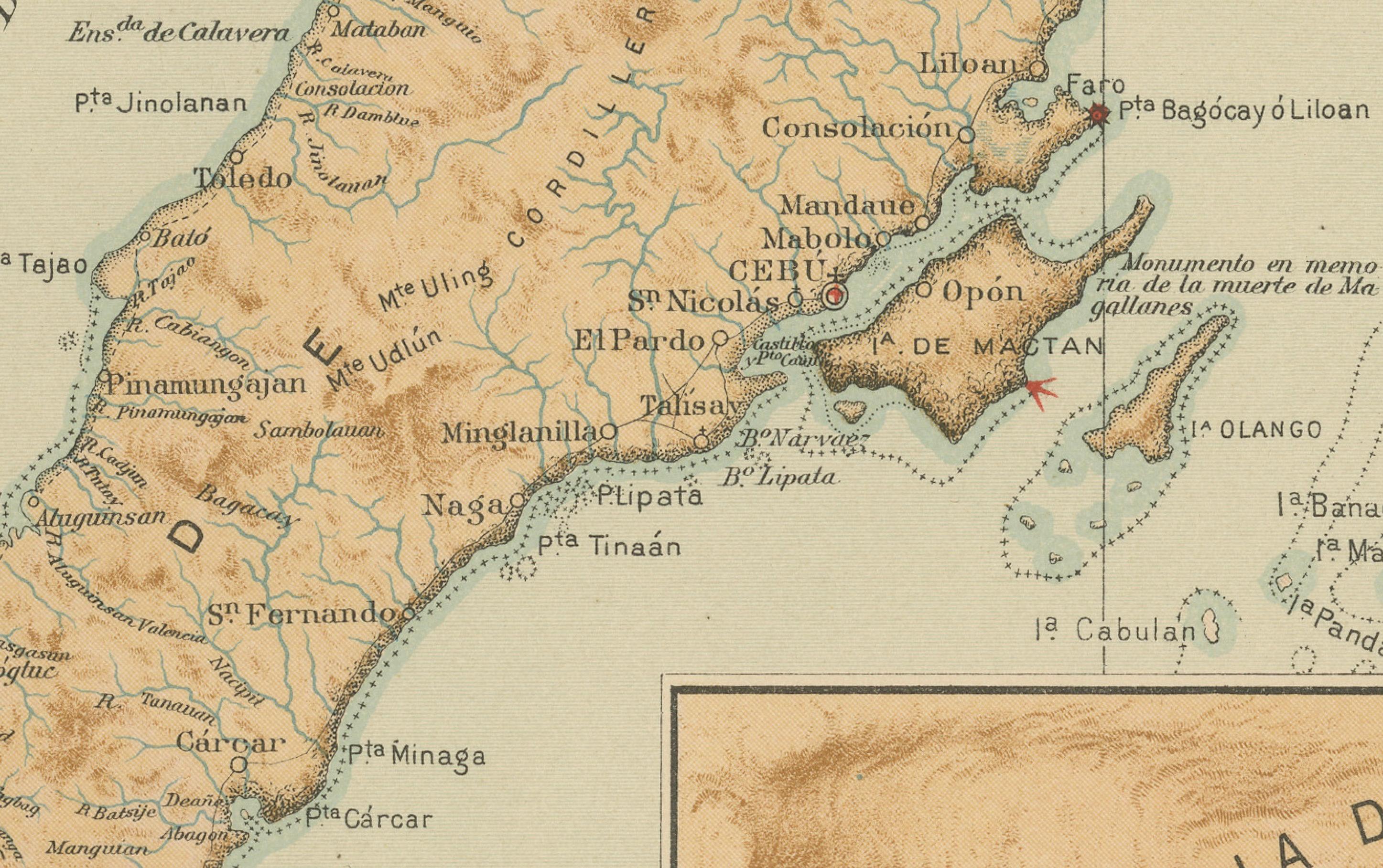
The map captures the narrow, mountainous topography of Cebu with precision, showing its extensive central ridge that runs the island’s entire length. Shaded relief in warm brown tones contrasts with the soft aqua of the surrounding seas, emphasizing both land elevation and maritime depth. The map carefully identifies towns, ports, rivers, and administrative divisions, along with key transportation routes along the coast.
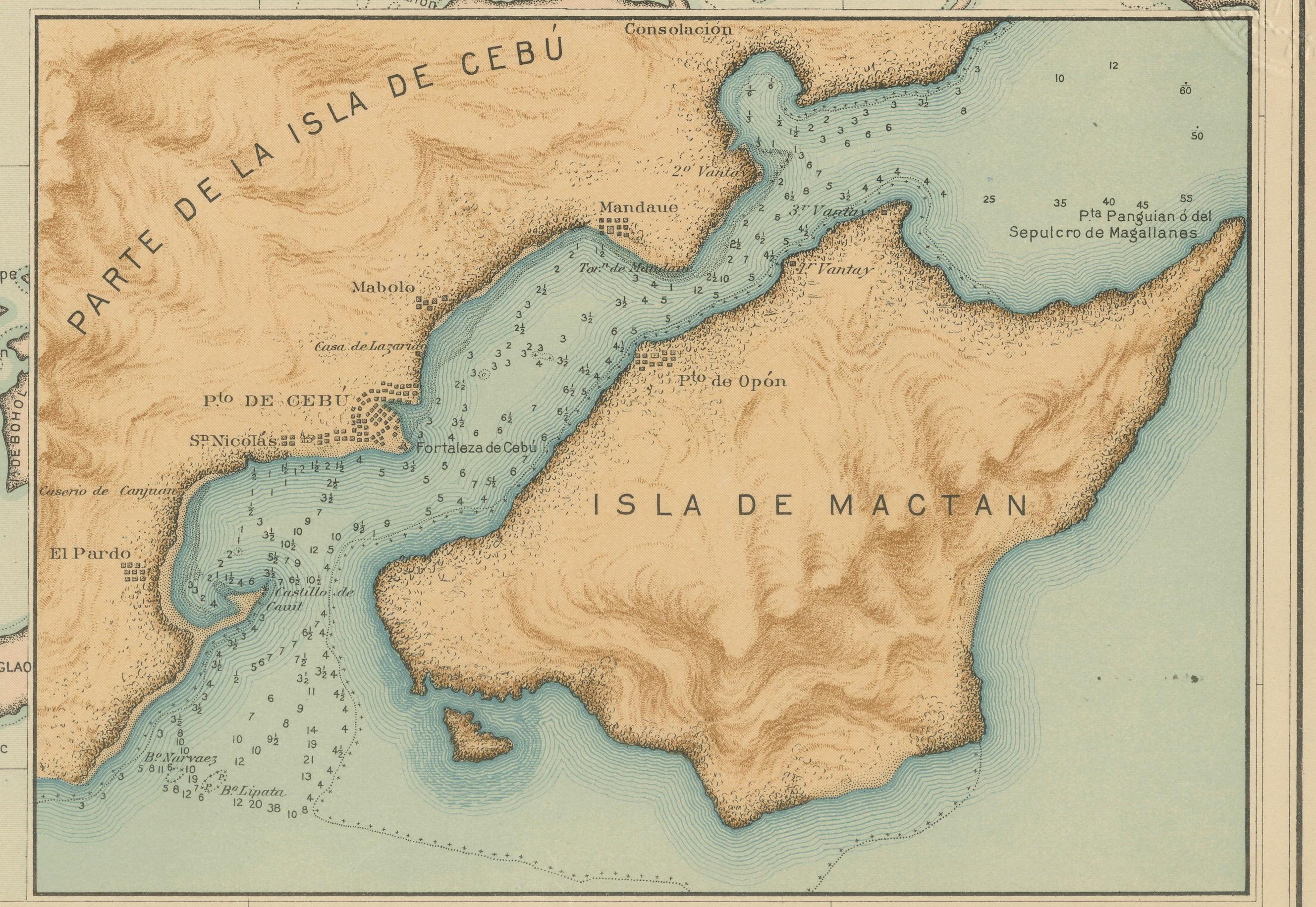
A detailed inset in the lower right corner depicts the southern section of Cebu, focusing on Mactan Island and its surrounding waters — historically significant as the site of Magellan’s death in 1521. The map’s legend (“Signos”) decodes cartographic symbols for capitals, pueblos, barrios, and meteorological or seismological observatories, reflecting the Jesuit scientific mission to combine geography with environmental study.
Stamped with the circular brown seal of the “Observatorio de Manila” and embossed with the insignia of the “U.S. Coast and Geodetic Survey,” this map was later included in the 1900 *Atlas of the Philippine Islands*, published by the U.S. Government Printing Office in Washington. The work represents a unique collaboration between Filipino draftsmen, Jesuit scholars, and early American cartographers, uniting scientific precision with refined artistic execution.
Condition: Excellent, with clear impressions, bright color preservation, and minor age toning to margins. Embossed and inked institutional seals remain well defined.
Framing tips: Best presented in a dark teak or walnut frame with a cream or soft blue mat, enhancing the contrast between the island’s warm topography and the surrounding sea. A highly desirable piece for collectors of Philippine or colonial cartography.
Technique: Chromolithograph on paper
Maker: Rev. José Algué, S.J., Observatorio de Manila, 1899