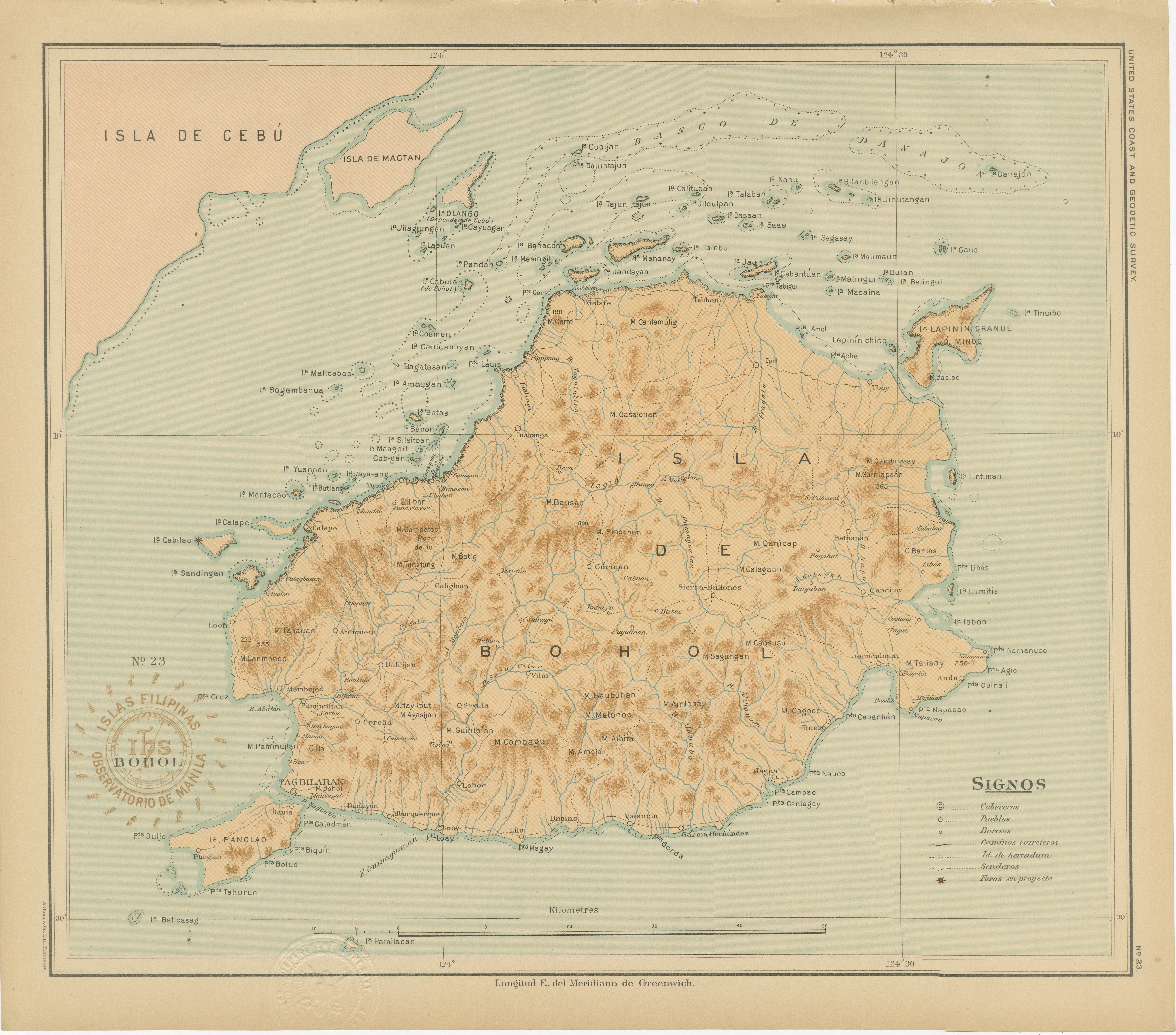
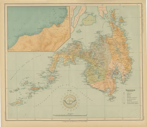
Map of the Island of Bohol – Observatorio de Manila, 1899
€ 540
One of a kind: this is the sheet in the photographs. Ships from Langweer, the Netherlands.
Date
1899
Sheet size
32.5 × 37 cm (12.8 × 14.6 in)
Condition
Excellent
Reference
BG-12176-23
Condition
with strong original color, crisp printing, and only mild toning to the outer margins. Embossed and inked institutional marks remain clean and well defined.
About this sheet
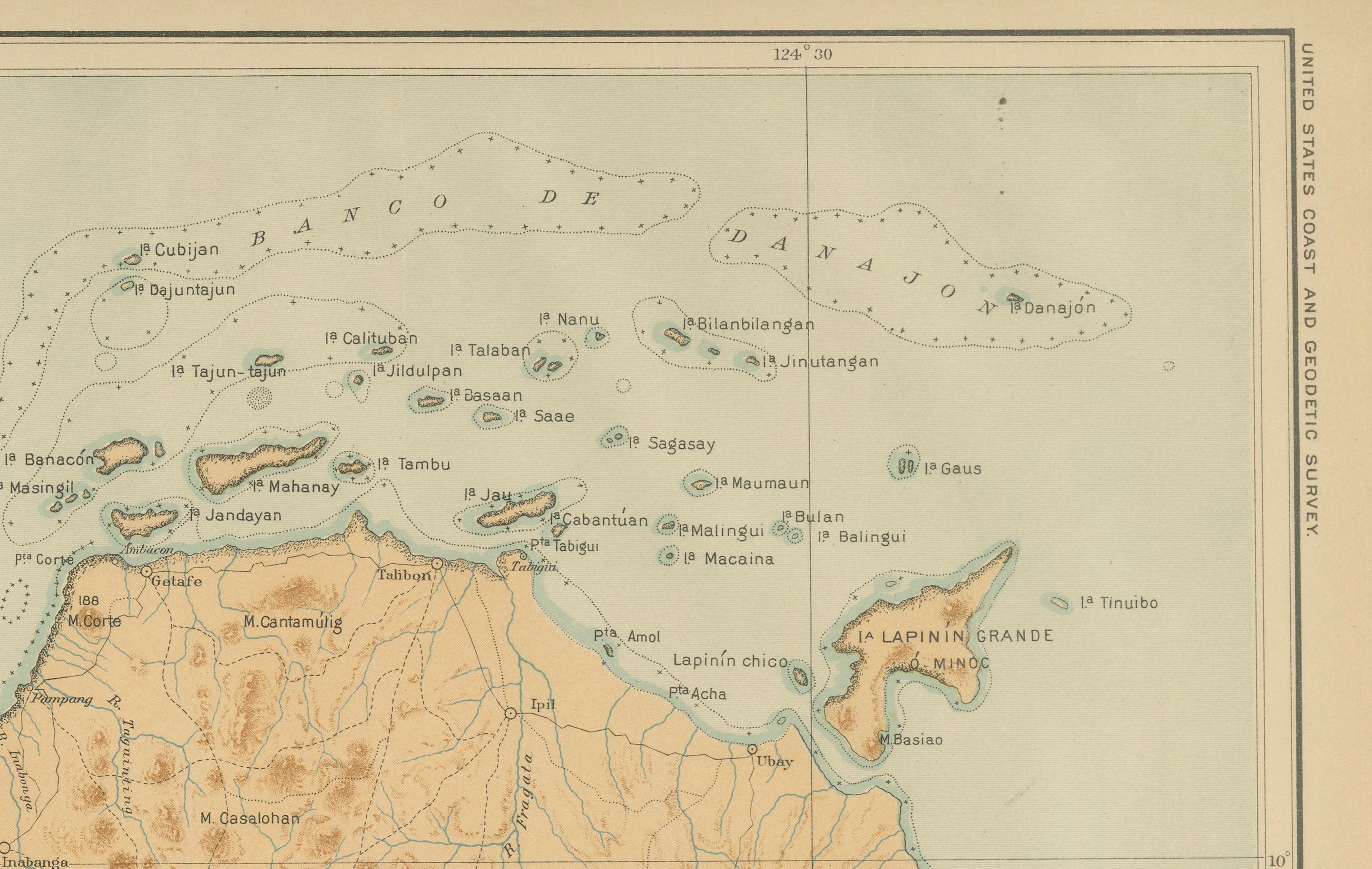
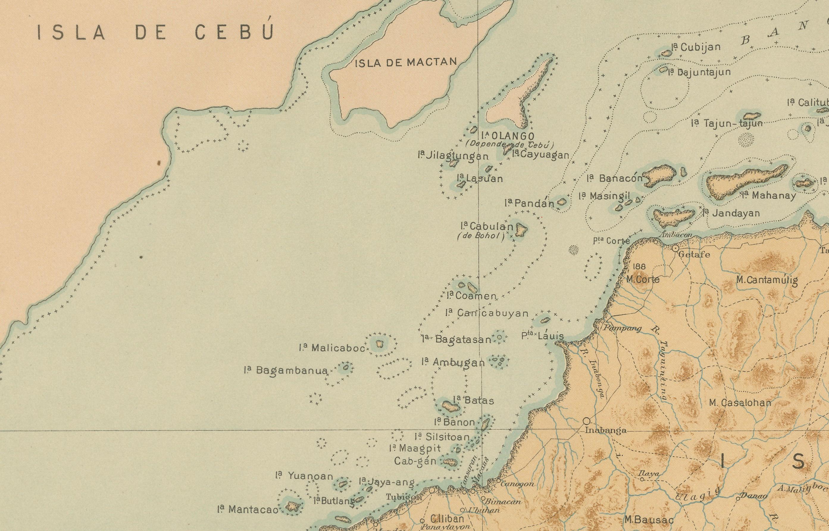
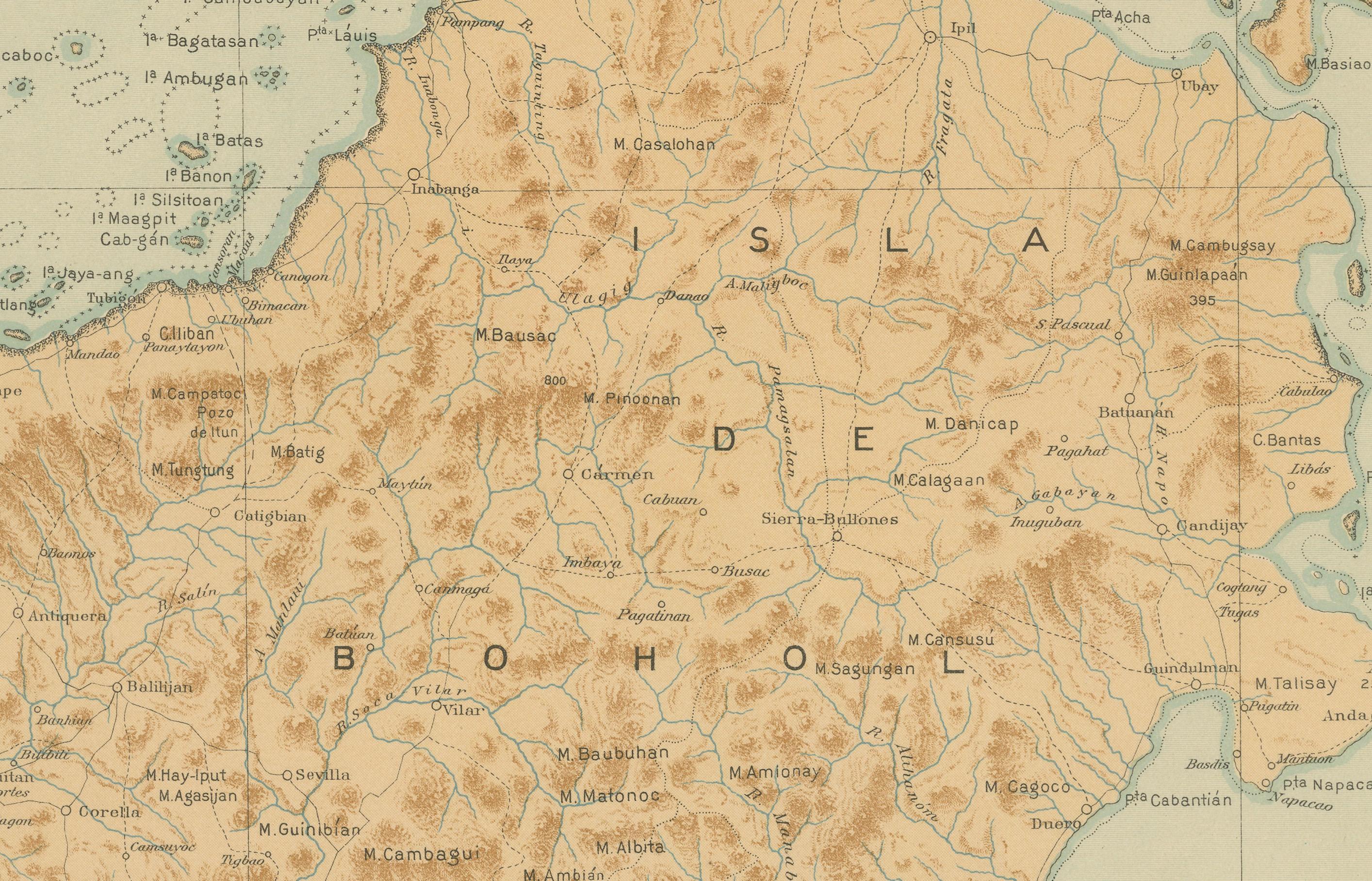
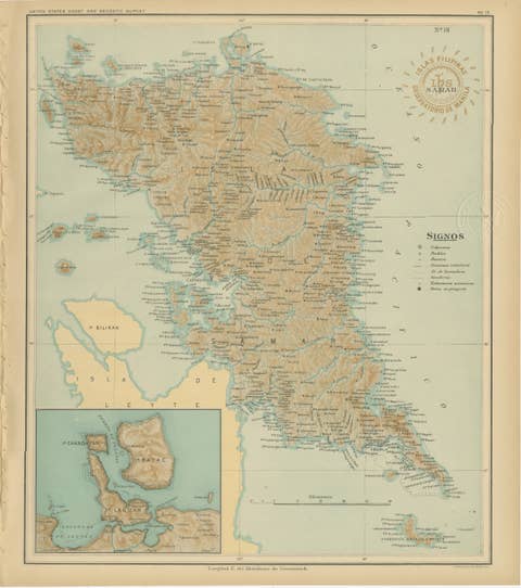
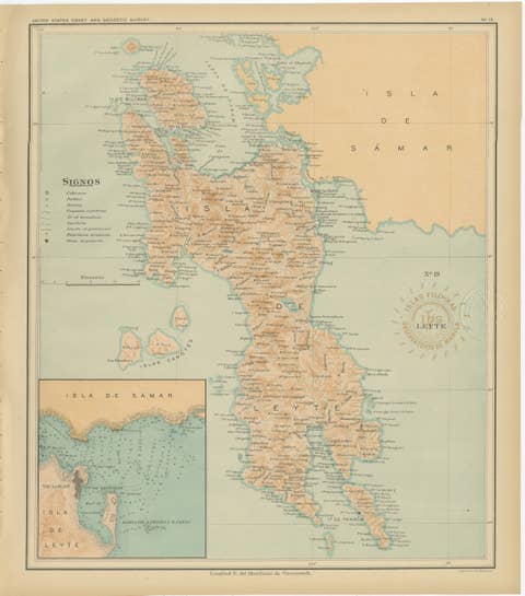
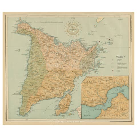
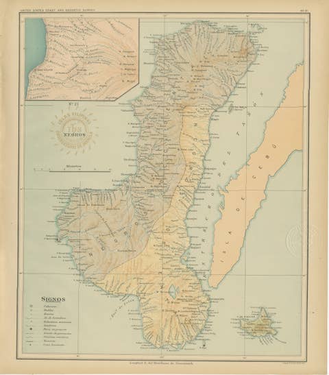
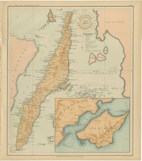
This elegant chromolithographed map titled “Islas Filipinas – Isla de Bohol” was produced under the direction of Rev. José Algué, S.J., Director of the Observatorio de Manila, and published in 1899 as Plate No. 23 from the *Atlas de Filipinas*. It offers a remarkably detailed and beautifully shaded topographical representation of Bohol, one of the central islands of the Visayas group, lying between Cebu and Leyte.
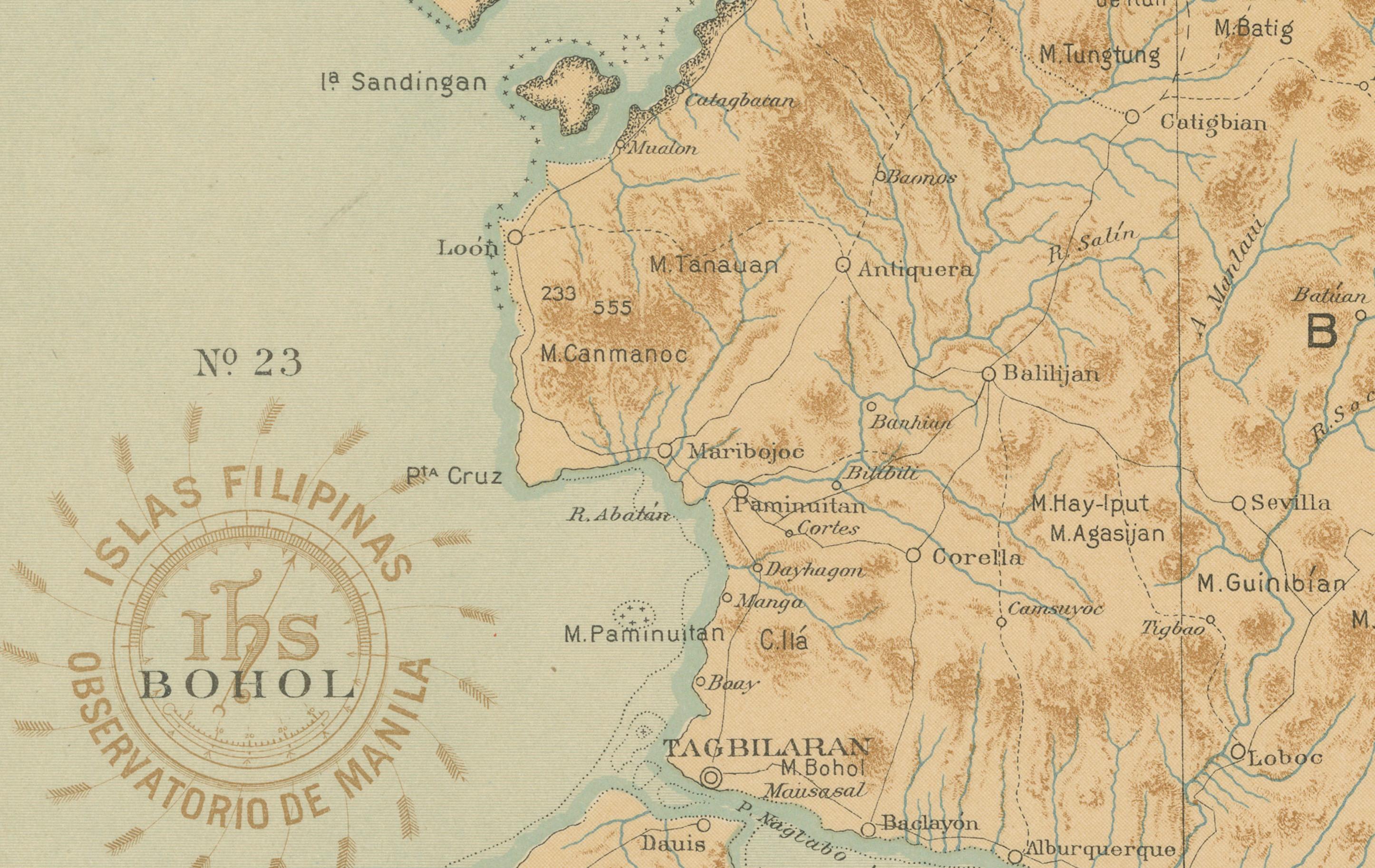
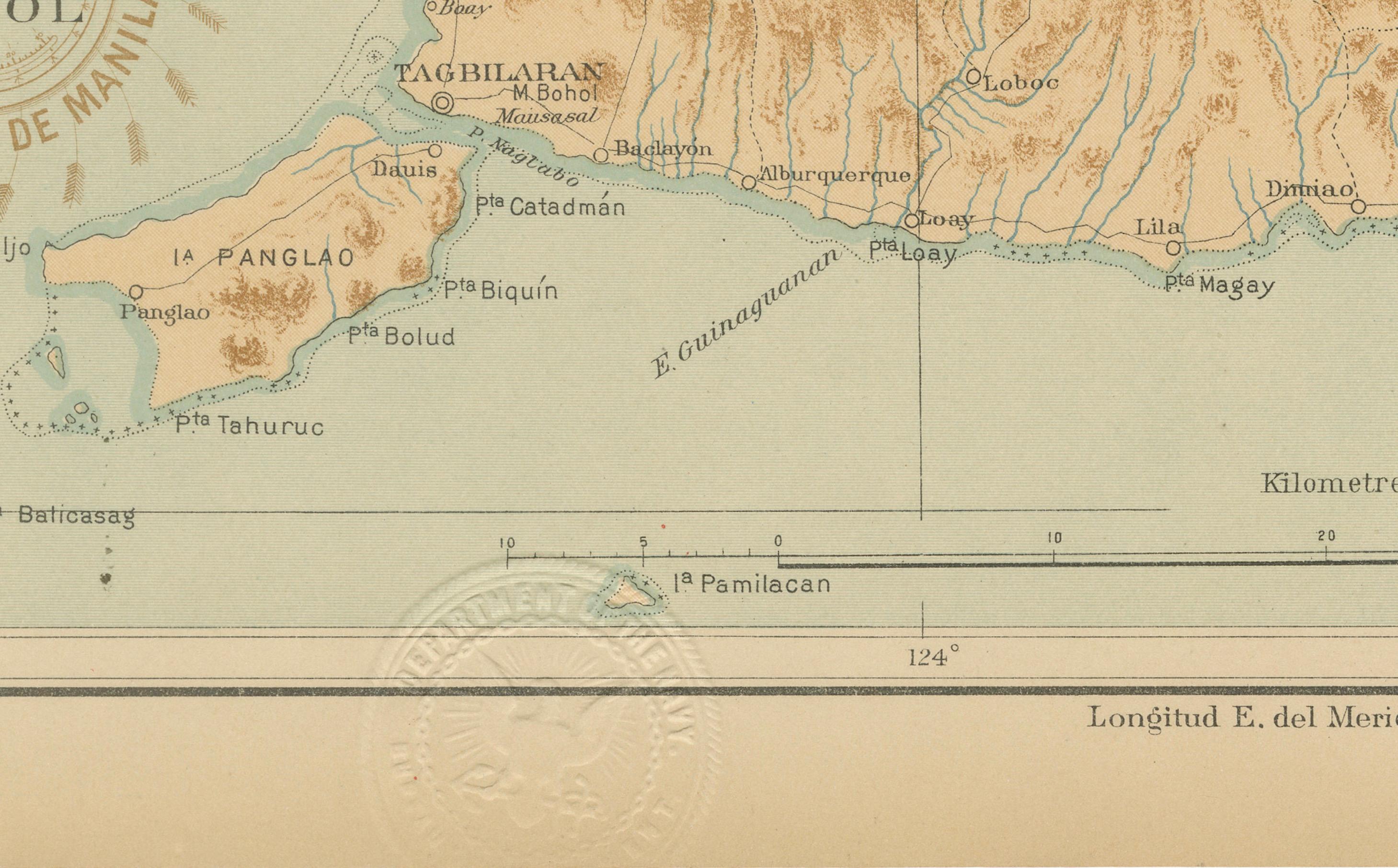
The island’s mountainous terrain and intricate river systems are rendered in fine relief, with subtle gradations of brown indicating elevation. The map highlights numerous coastal and inland towns, from Tagbilaran — the island’s principal port — to smaller pueblos and barrios spread across its fertile interior. The surrounding islands, including Panglao, Lapinin Grande, and Mactan to the northwest, are also carefully delineated, reflecting the Jesuit cartographers’ comprehensive approach to geographic documentation.
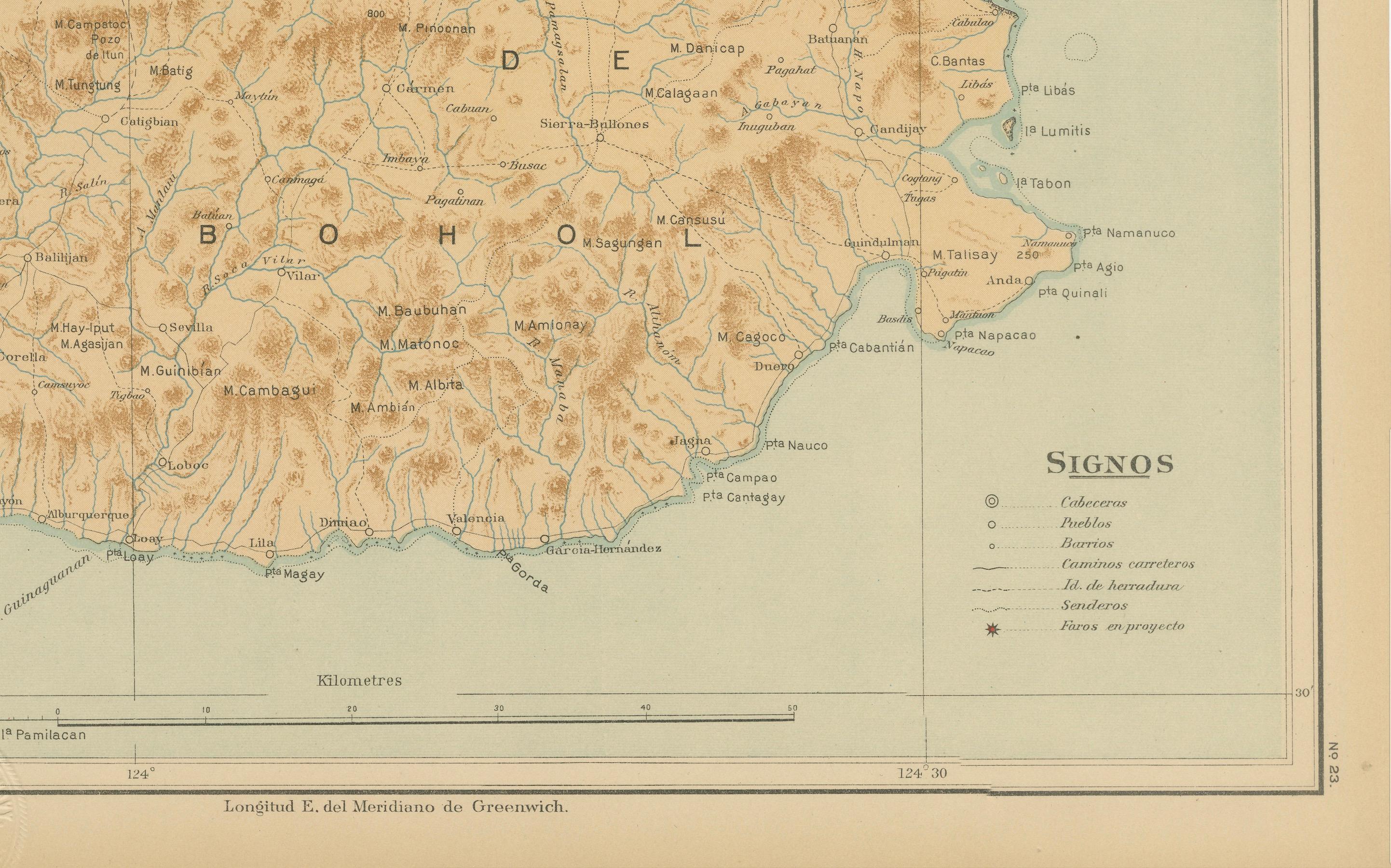
The legend (“Signos”) decodes cartographic symbols used for capitals, towns, roads, and meteorological or seismological observatories, underscoring the atlas’s scientific purpose. Coastal soundings and maritime routes are included, making the map both a geographic and navigational tool.
Stamped with the brown circular seal of the “Observatorio de Manila” and the embossed insignia of the “U.S. Coast and Geodetic Survey,” this map later appeared in the 1900 *Atlas of the Philippine Islands*, issued by the U.S. Government Printing Office in Washington. Originally drawn by Filipino draftsmen under Jesuit supervision, the series represents one of the finest scientific and artistic collaborations in late 19th-century Philippine cartography.
Condition: Excellent, with strong original color, crisp printing, and only mild toning to the outer margins. Embossed and inked institutional marks remain clean and well defined.
Framing tips: Best presented in a natural oak or light walnut frame with a cream or pale blue mat, enhancing the soft tones of land and sea. An excellent choice for collectors of early Philippine or colonial scientific maps.
Technique: Chromolithograph on paper Maker: Rev. José Algué, S.J., Observatorio de Manila, 1899