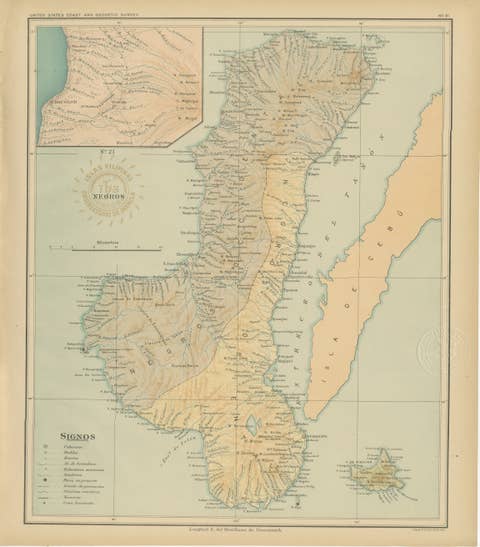
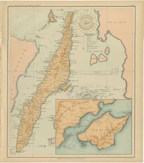
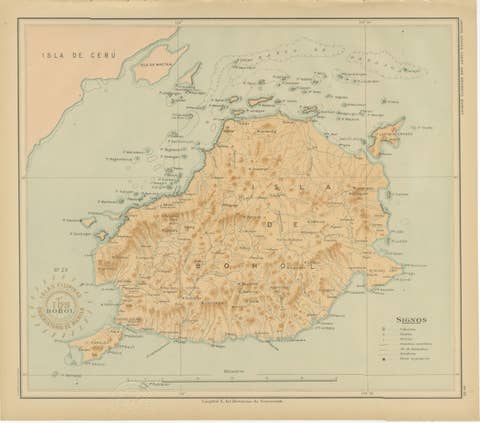
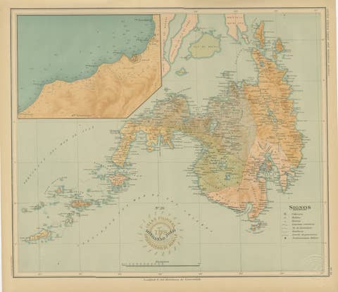
Map of the Island of Catanduanes – Observatorio de Manila, 1899
€ 340
One of a kind: this is the sheet in the photographs. Ships from Langweer, the Netherlands.
Date
1899
Sheet size
37 × 32.5 cm (14.6 × 12.8 in)
Condition
Excellent
Reference
BG-12176-14
Condition
with strong original color and only faint toning in the margins. The paper is clean, and the embossed and inked institutional stamps are crisp and fully legible.
About this sheet
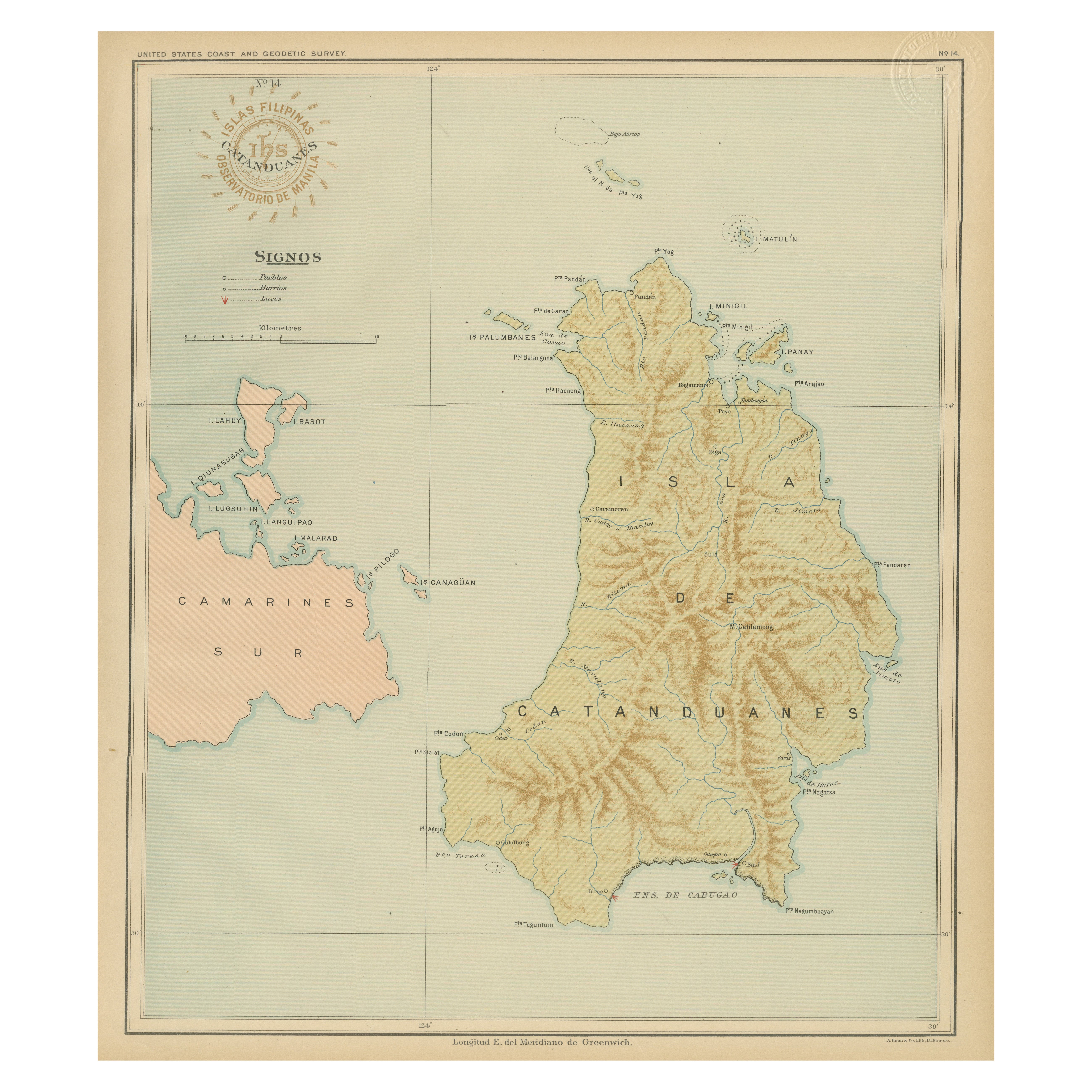
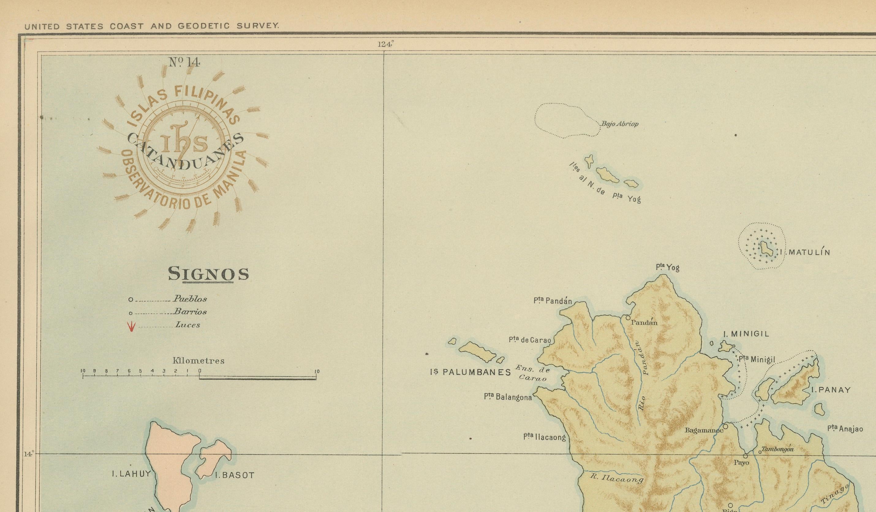
This chromolithographed map titled “Islas Filipinas – Isla de Catanduanes” was published in 1899 under the supervision of Rev. José Algué, S.J., Director of the Observatorio de Manila, as Plate No. 14 from the *Atlas de Filipinas*. It provides a precise and elegantly rendered representation of Catanduanes, an island off the eastern coast of the Bicol Peninsula, along with a portion of Camarines Sur to the west.
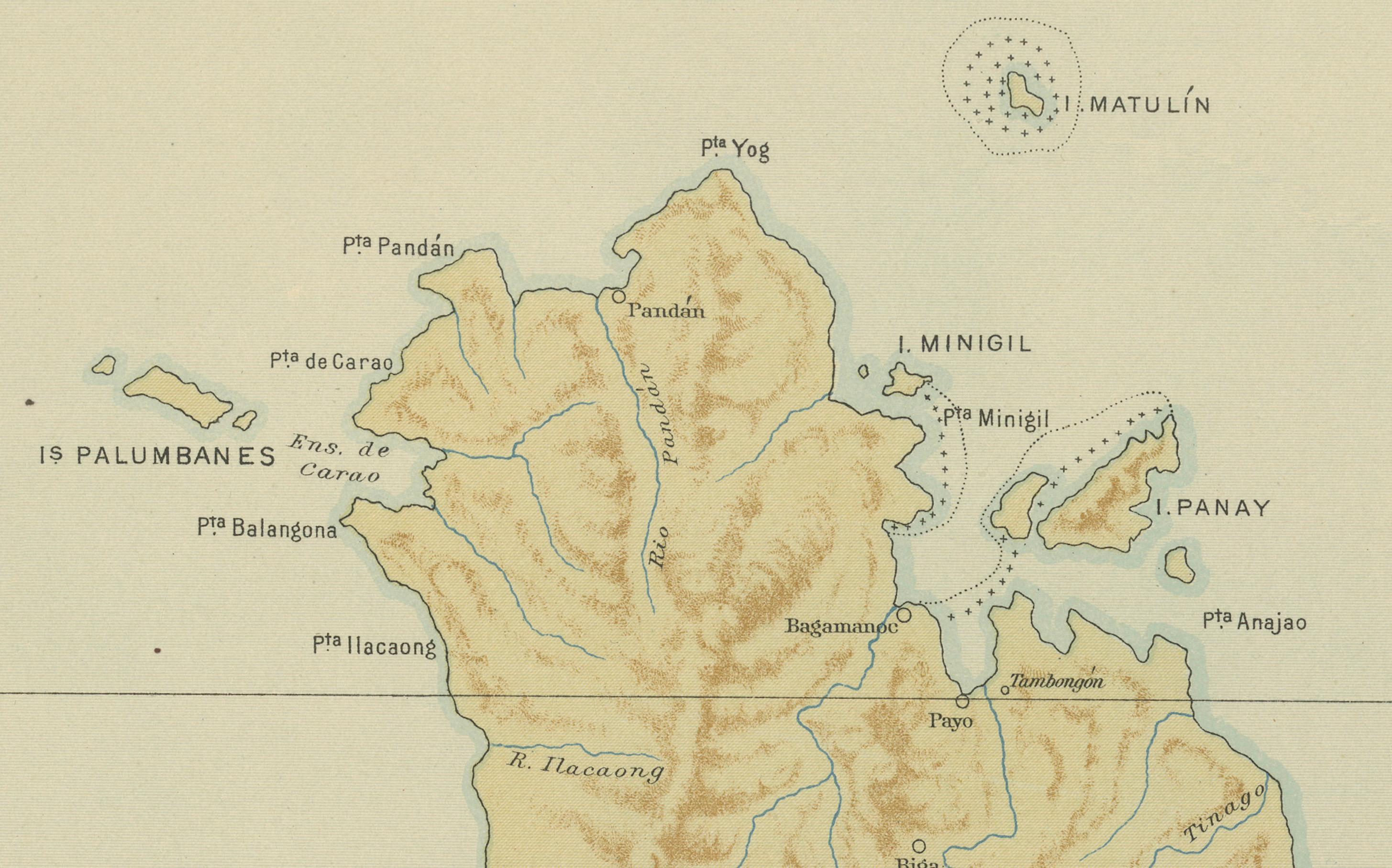
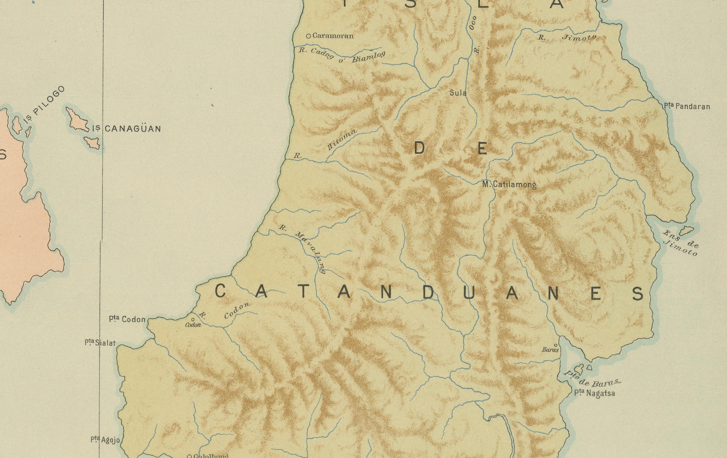
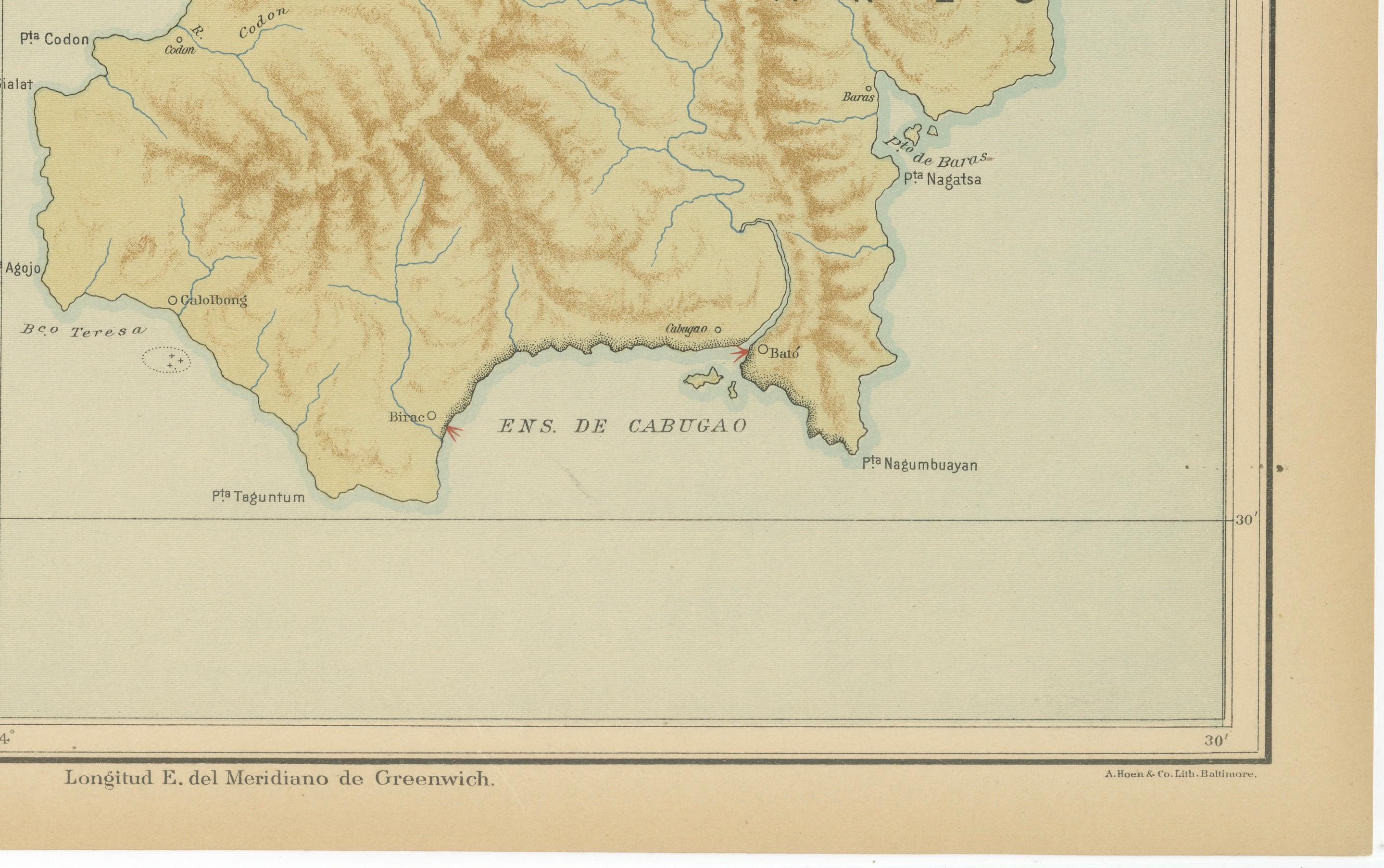
The map portrays Catanduanes in remarkable detail, using brown relief shading to emphasize its mountainous interior and deeply indented coastline. Numerous rivers, headlands, and towns are identified, including Catanduanes’ principal settlements such as Virac, Bato, and Baras. The northern tip of the island shows smaller islets like Panay, Palumbanes, and Matulin, which add to the geographical richness of this chart. The surrounding waters — notably the “Ens. de Cabugao” and the “Mar de Caraga” — are depicted in soft blue tones, typical of the fine chromolithographic style developed at the Manila Observatory.
The legend (“Signos”) at upper left marks symbols for pueblos (towns), barrios, and haciendas. The red circular stamp of the “Observatorio de Manila” and the embossed seal of the “U.S. Coast and Geodetic Survey” confirm that this plate was included in the American edition of the atlas, published in 1900 by the U.S. Government Printing Office in Washington.
This map exemplifies the Jesuit Observatory’s advanced technical and artistic cartography at the turn of the 20th century. Executed entirely by Filipino draftsmen, the *Atlas de Filipinas* combined scientific accuracy with aesthetic refinement, serving both as a tool for geographic study and as a visual document of the Philippine archipelago during a time of major political transition.
Condition: Excellent, with strong original color and only faint toning in the margins. The paper is clean, and the embossed and inked institutional stamps are crisp and fully legible.
Framing tips: Ideally framed in dark wood or bronze with a cream or pale blue mat to highlight the island’s coastal contours and warm terrain shading.
Technique: Chromolithograph on paper Maker: Rev. José Algué, S.J., Observatorio de Manila, 1899