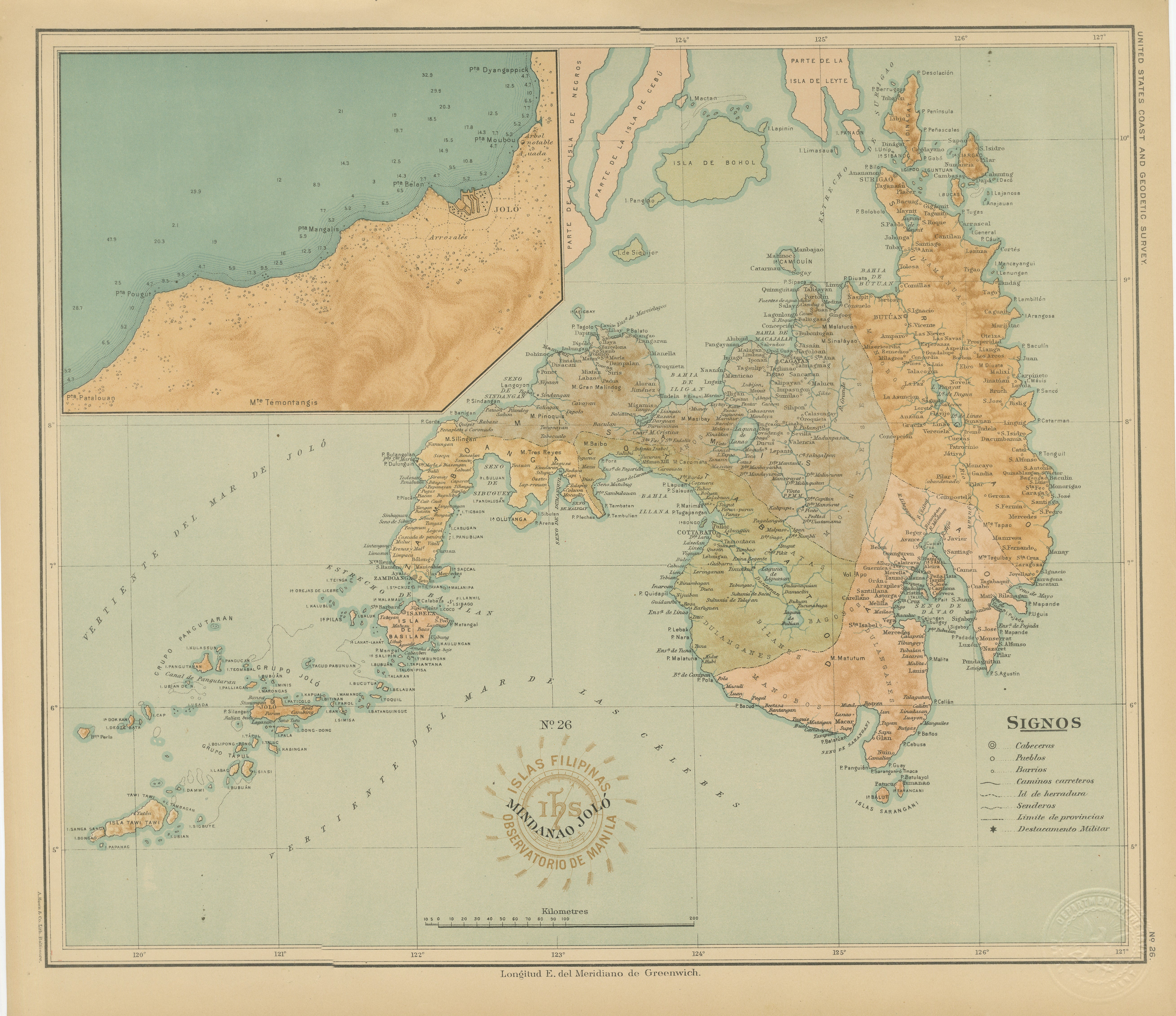
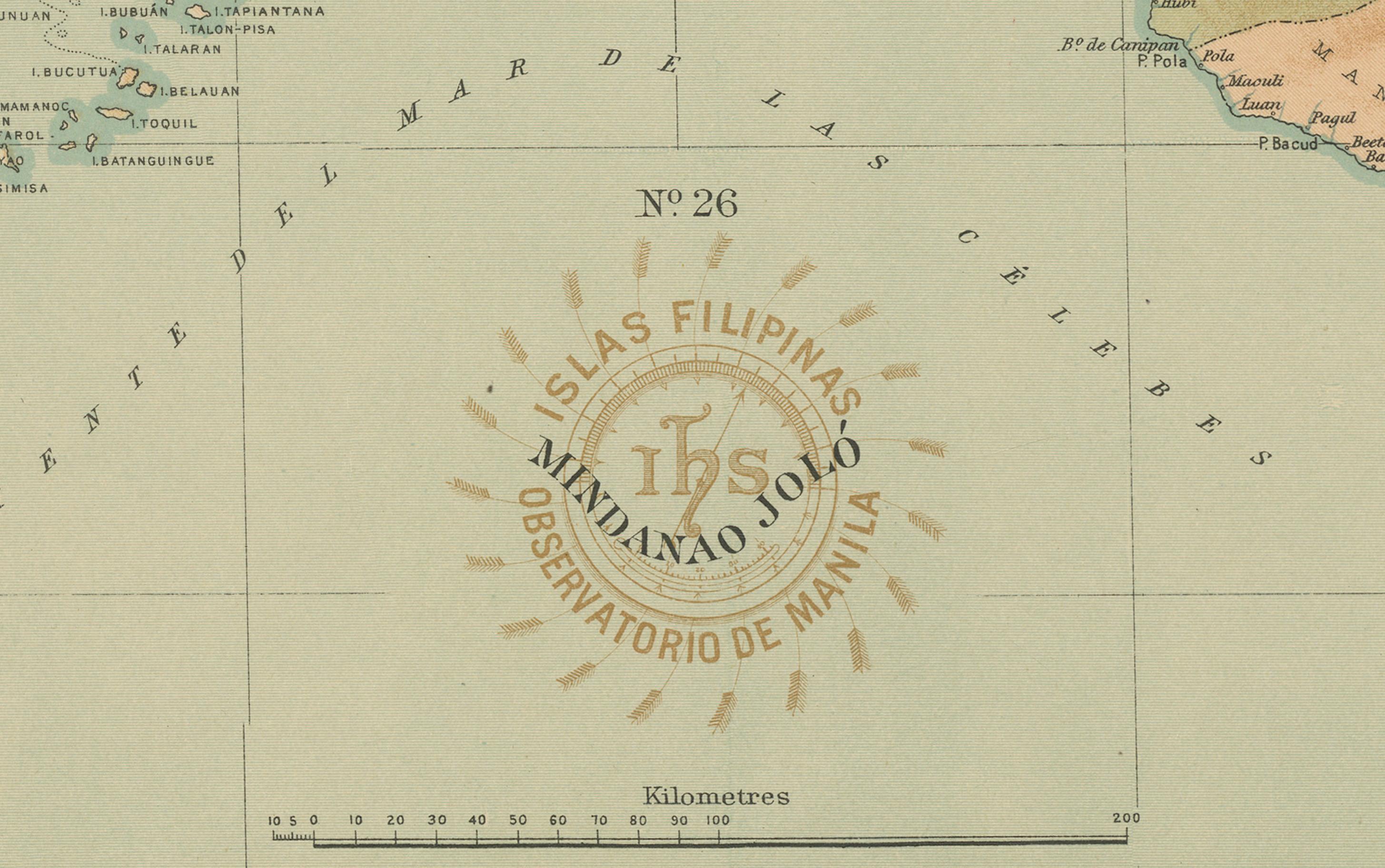
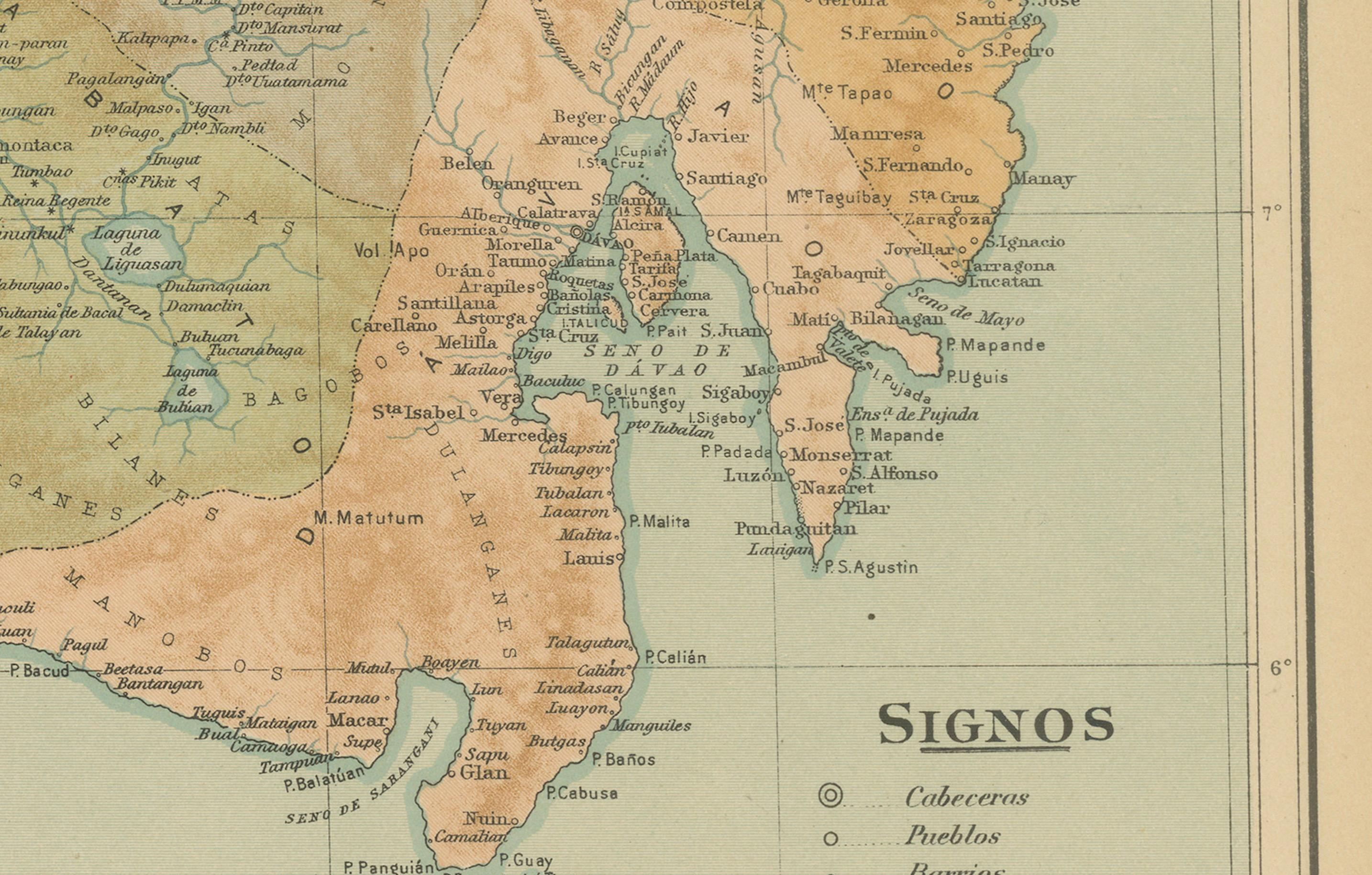
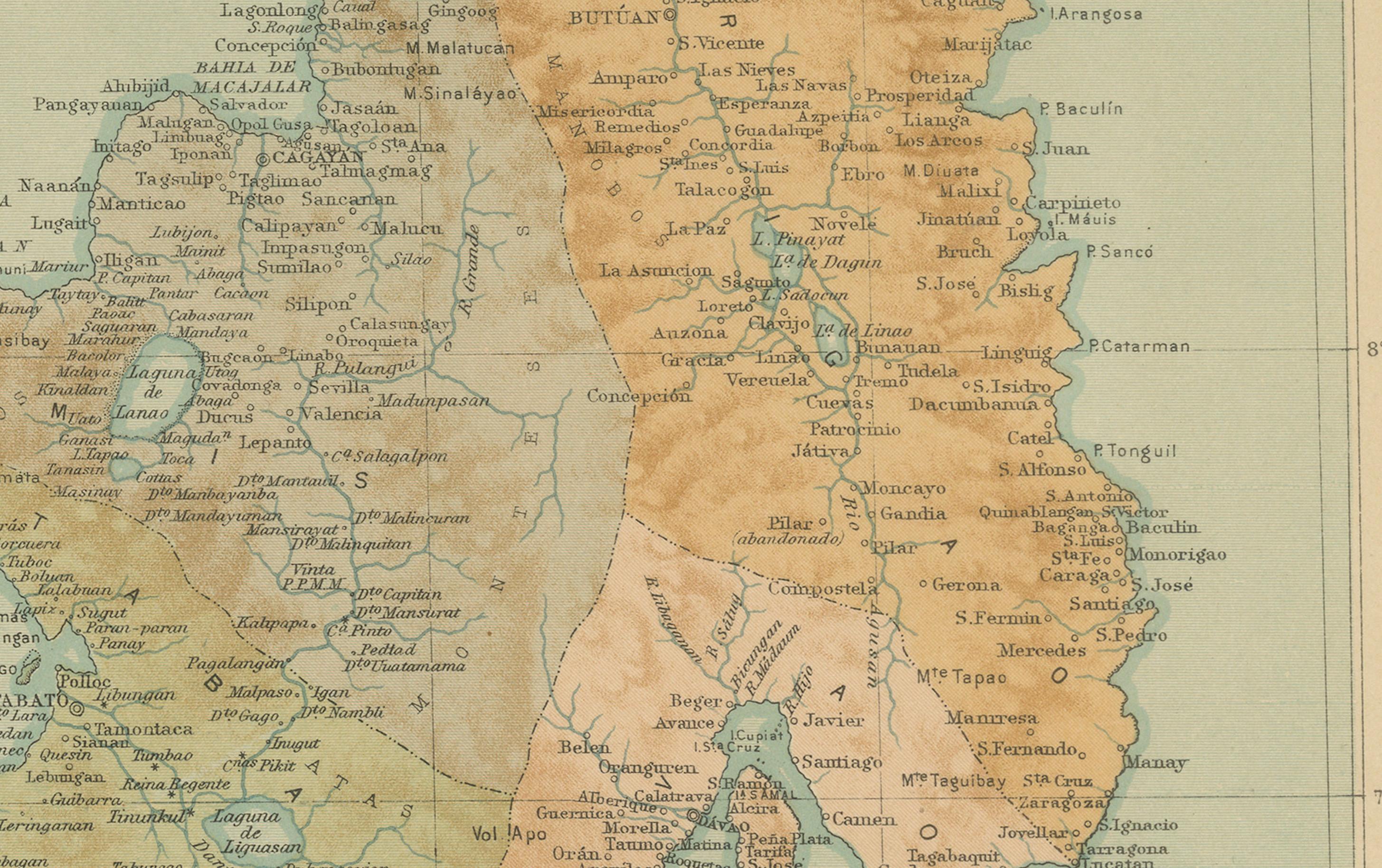
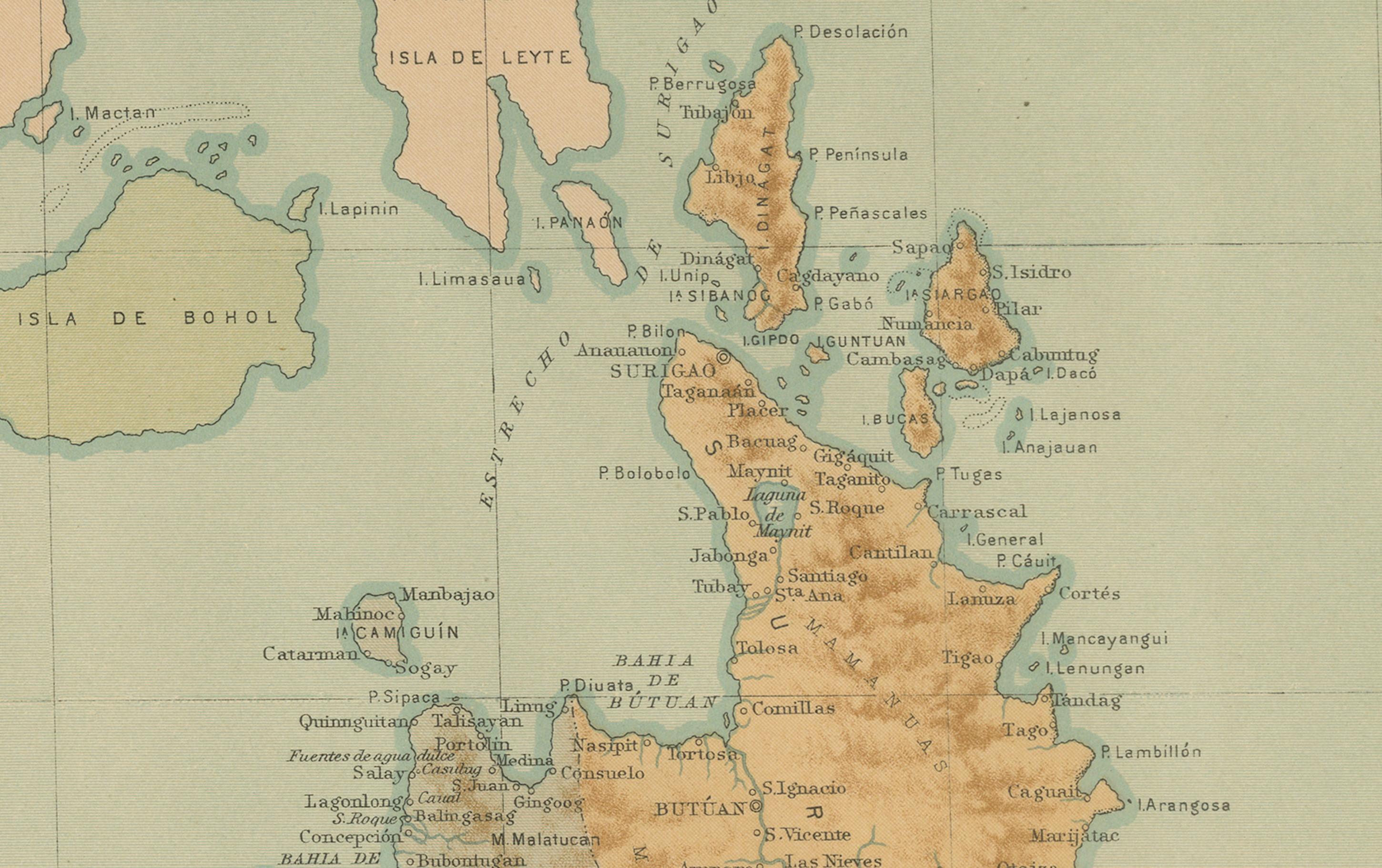
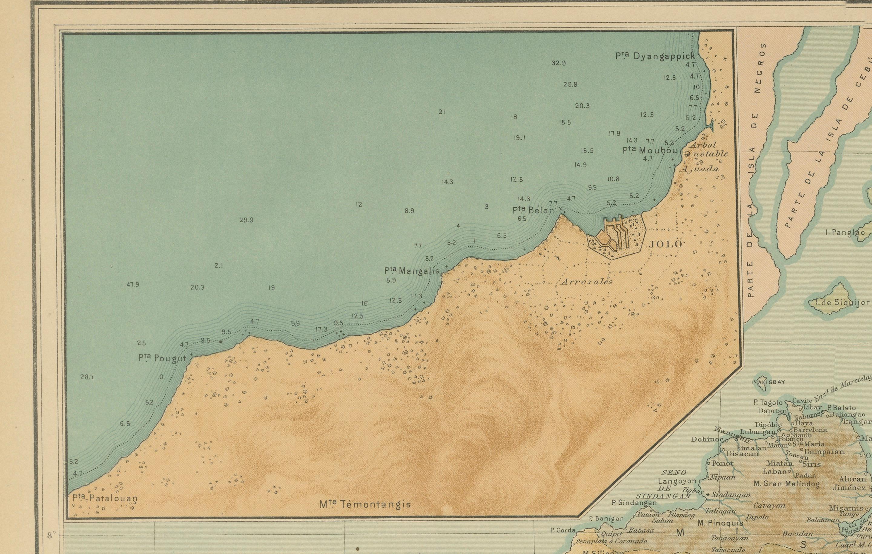
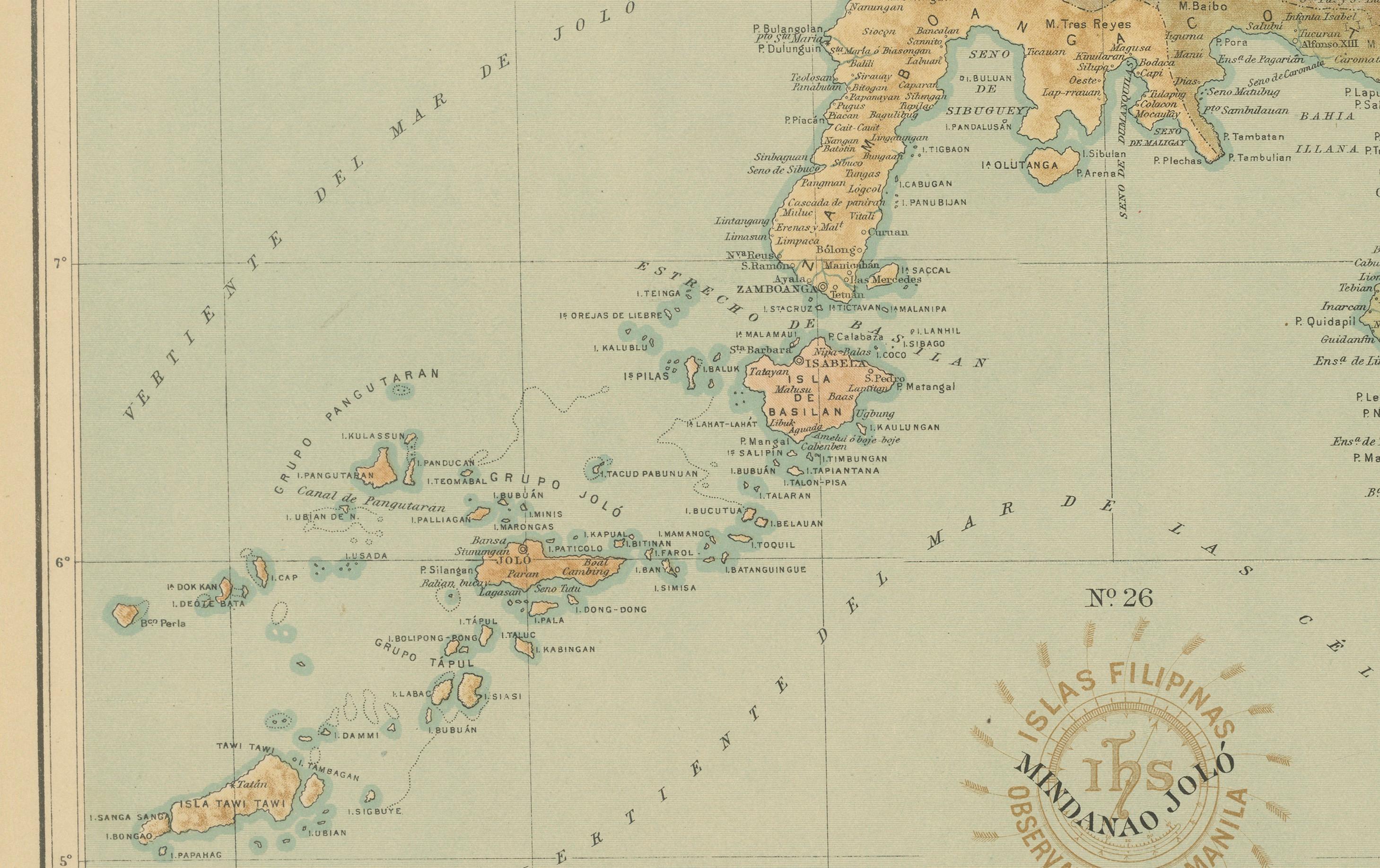
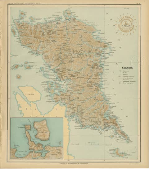
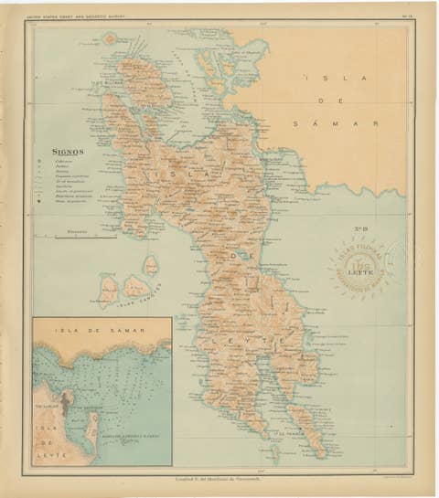
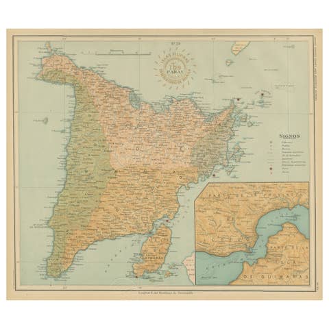
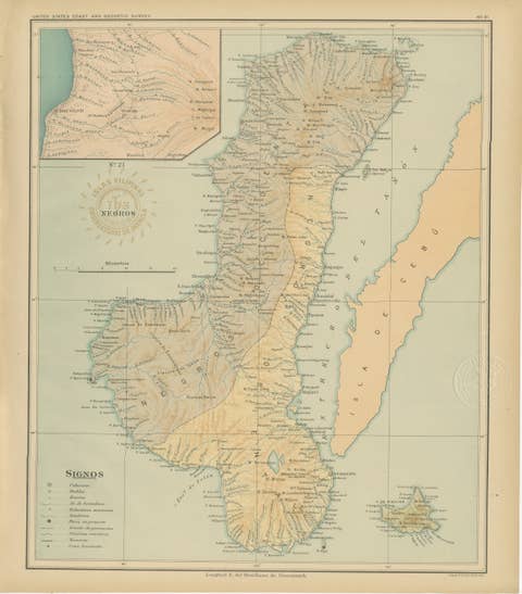
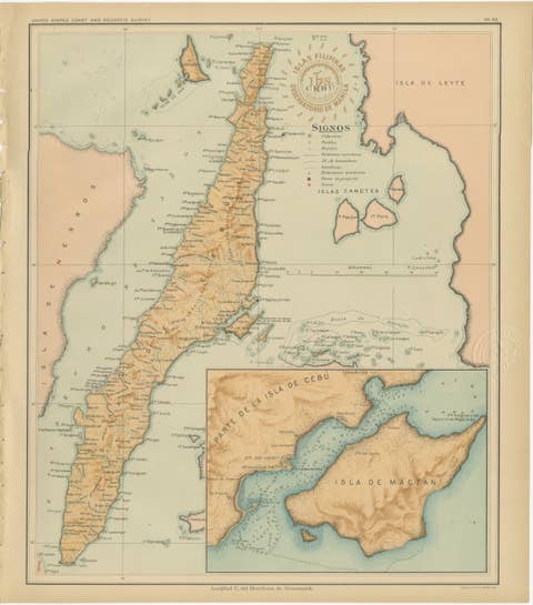
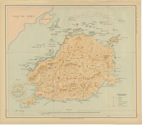
Map of the Island of Mindanao and the Sulu Archipelago – 1899
€ 440
One of a kind: this is the sheet in the photographs. Ships from Langweer, the Netherlands.
Date
1899
Sheet size
32.5 × 37 cm (12.8 × 14.6 in)
Condition
Good
Reference
BG-12176-26
Condition
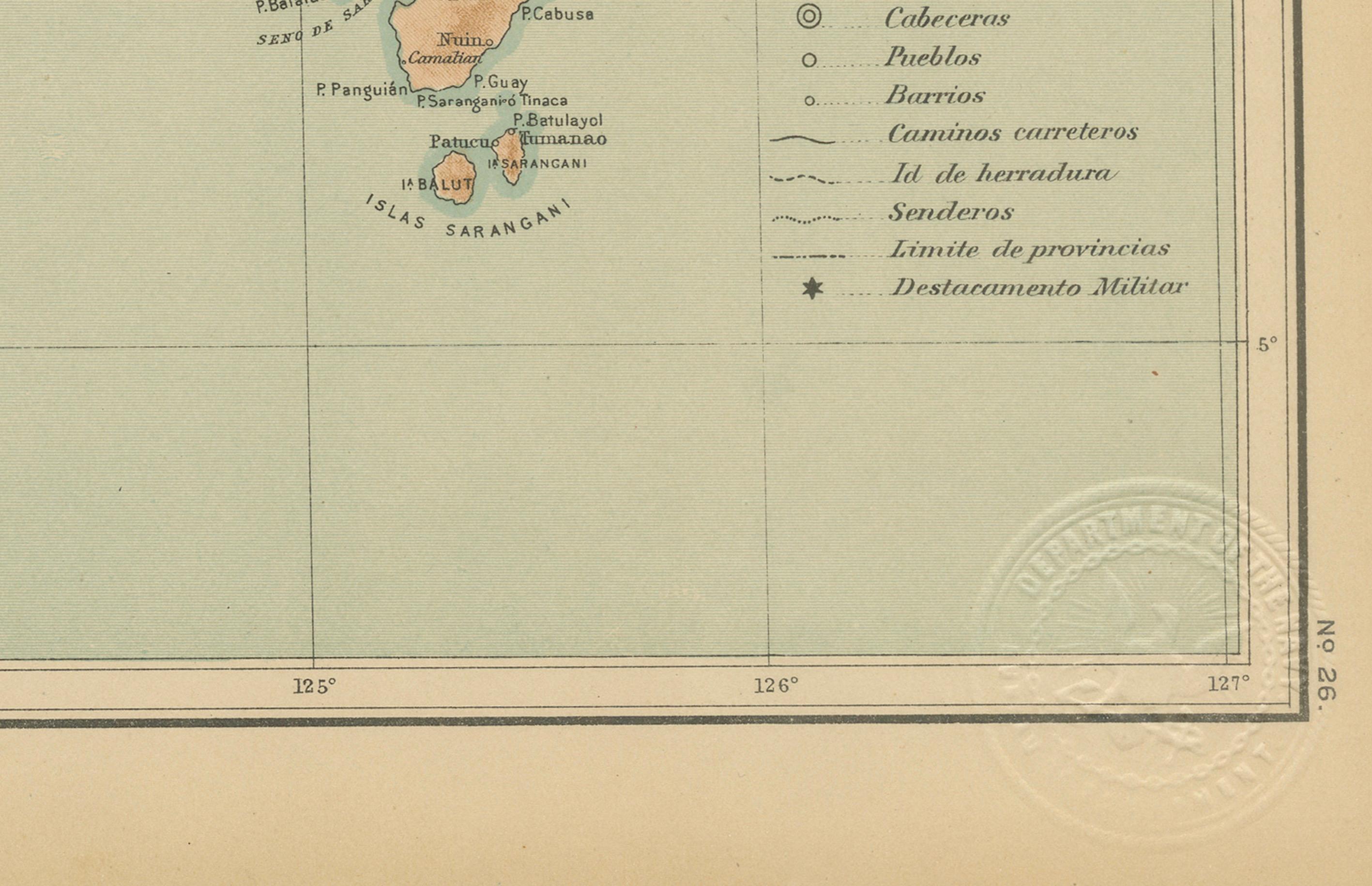
Excellent impression with crisp detail and original color tones. Slight toning to margins and minor handling consistent with age. Embossed seal of the Observatorio clearly visible.
About this sheet
Map of Batanes and Babuyan Islands – *Observatorio de Manila*, 1899
An original late-19th-century scientific map of the Batanes and Babuyan island groups, situated north of Luzon, published by the Observatorio de Manila in 1899. This map, issued under the Islas Filipinas – Observaciones Meteorológicas y Sismológicas series, reflects the meticulous cartographic and geophysical work carried out at the Manila Observatory during the final years of Spanish administration and the early American period in the Philippines.
The engraving details the northernmost islands of the Philippine archipelago, including Batan, Sabtang, Itbayat, and Calayan, extending to the Babuyan Channel and the northern coast of Luzon. An inset map of the Palaui area near Cape Engaño provides additional topographical reference. The map’s fine lithographic shading conveys relief and coastal contours with precision, while the Observatory’s embossed seal, “Observatorio de Manila – Islas Filipinas,” authenticates the plate.
The Observatorio de Manila, founded in 1865 by the Jesuits, became the leading meteorological and seismological institution in Asia, producing some of the most accurate scientific maps of the region. These maps were later incorporated into the United States Coast and Geodetic Survey after the turn of the century, marking a transition between colonial scientific traditions.
This sheet represents a significant document of early Philippine scientific cartography and offers a rare glimpse of the islands before the widespread influence of modern mapping methods.
Condition report: Excellent impression with crisp detail and original color tones. Slight toning to margins and minor handling consistent with age. Embossed seal of the Observatorio clearly visible.
Framing tips: An elegant historical map that pairs well with a warm ivory mat and a dark wooden or black frame. A thin gilt border enhances the subtle coloring and gives depth to the presentation.
Technique: Lithograph on paper Maker: Observatorio de Manila, Philippines, 1899