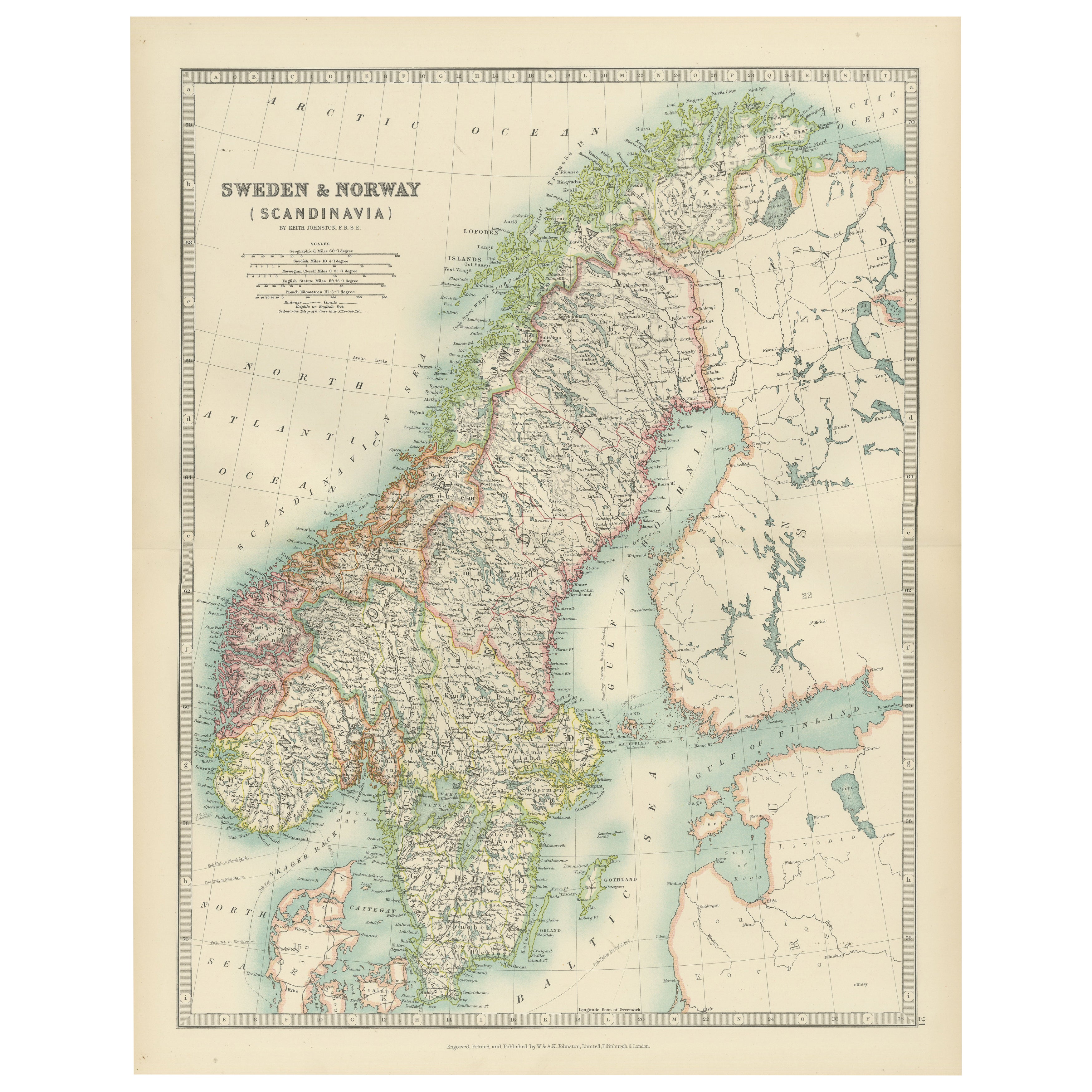
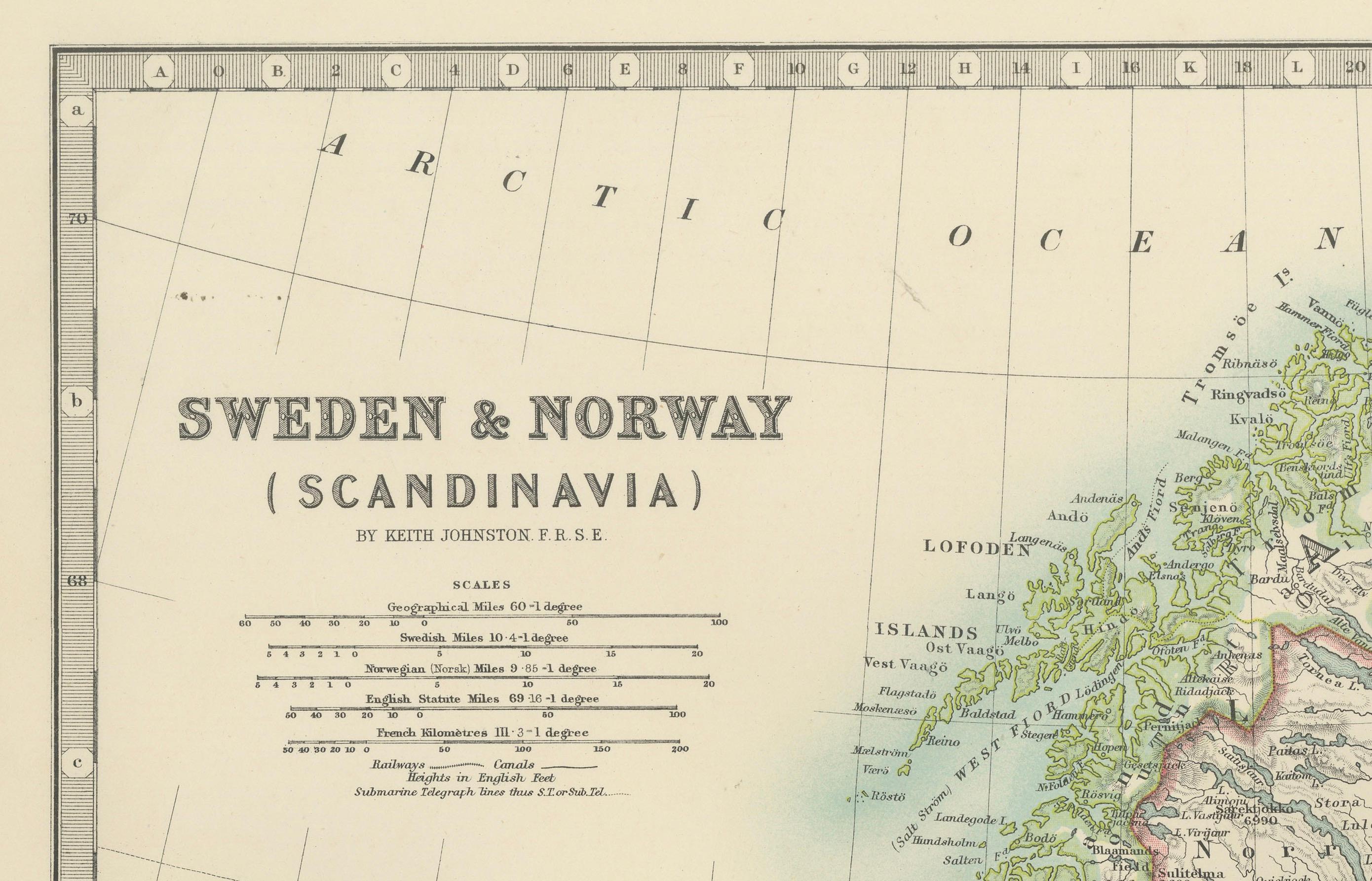
Antique Map of Sweden & Norway, 1903, with Intricate Topographical Detail
€ 210
One of a kind: this is the sheet in the photographs. Ships from Langweer, the Netherlands.
Date
1903
Sheet size
36.8 × 47 cm (14.5 × 18.5 in)
Condition
Good
Reference
BG-13577-21
Condition
The map is in very good antique condition, with minor foxing and gentle toning at the edges typical for its age. The colors remain vibrant and the paper well-preserved. Folding line as issued.
About this sheet
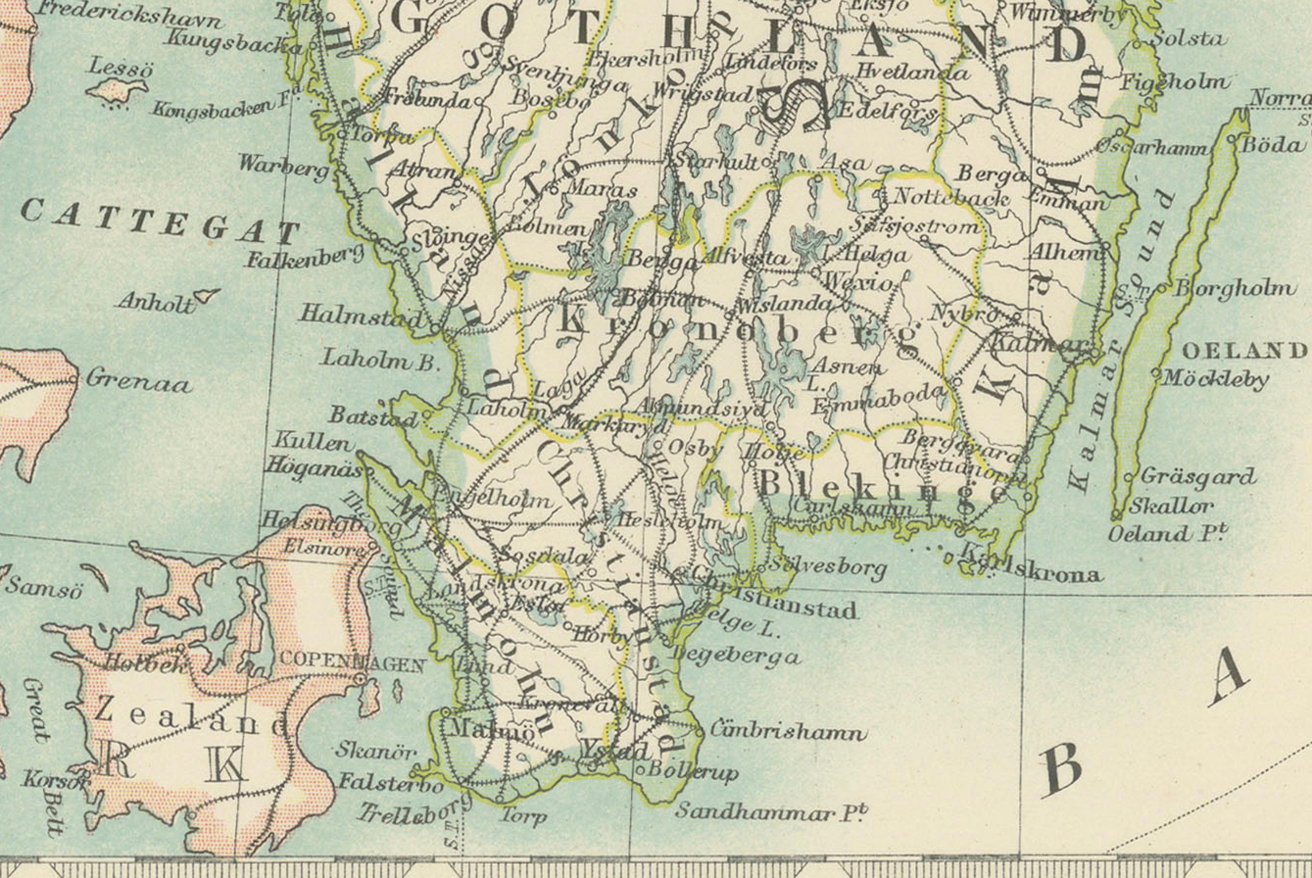
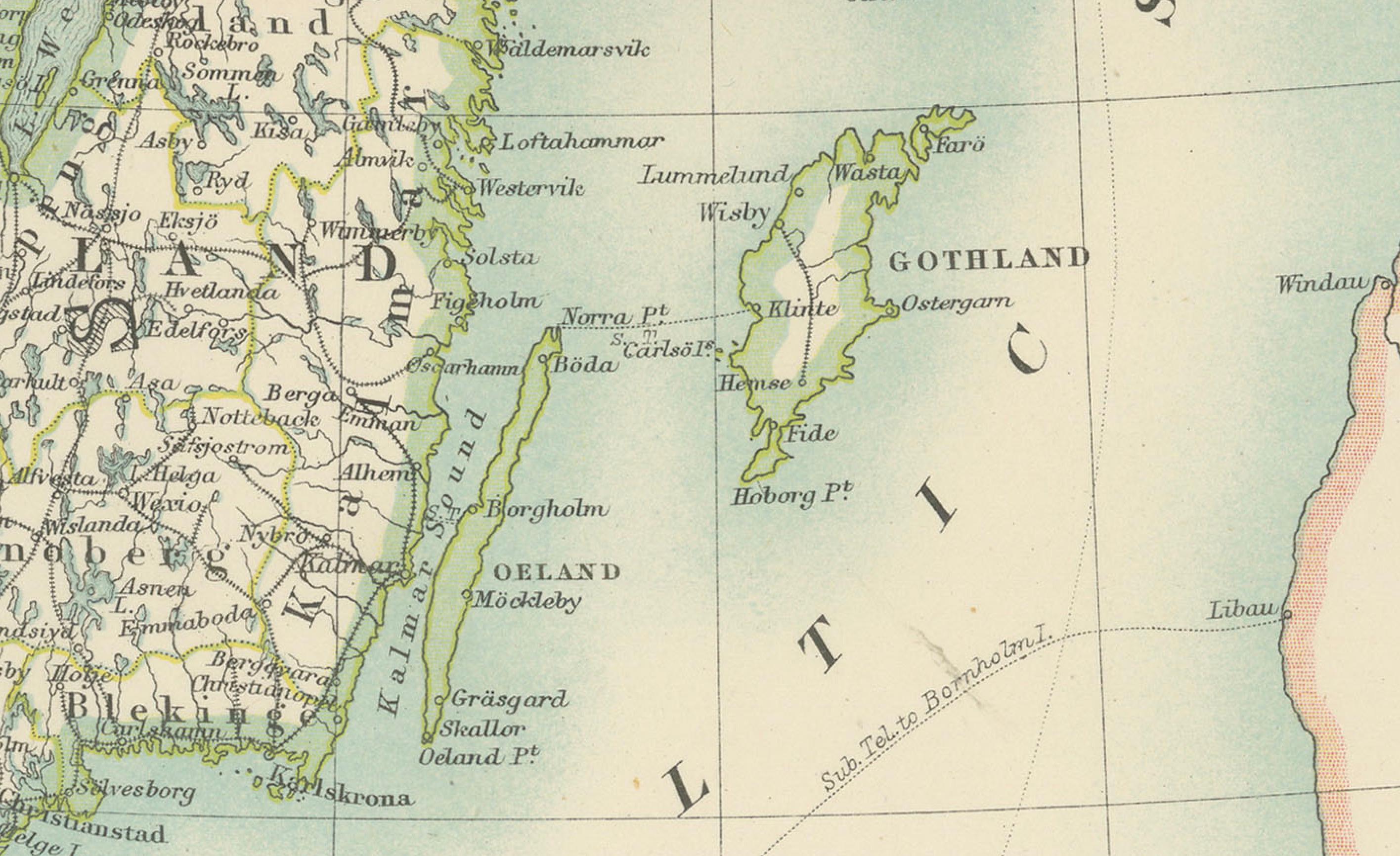
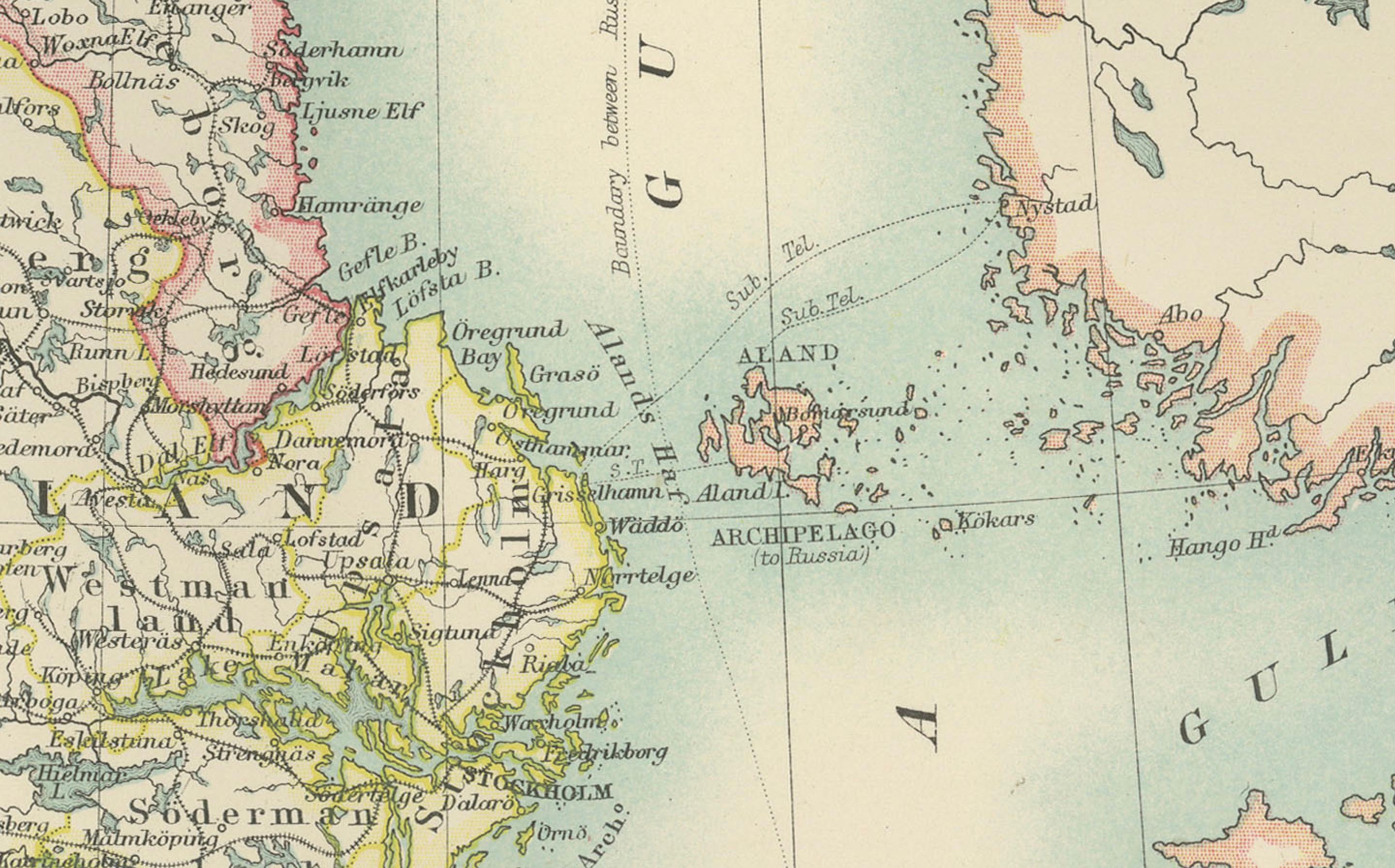
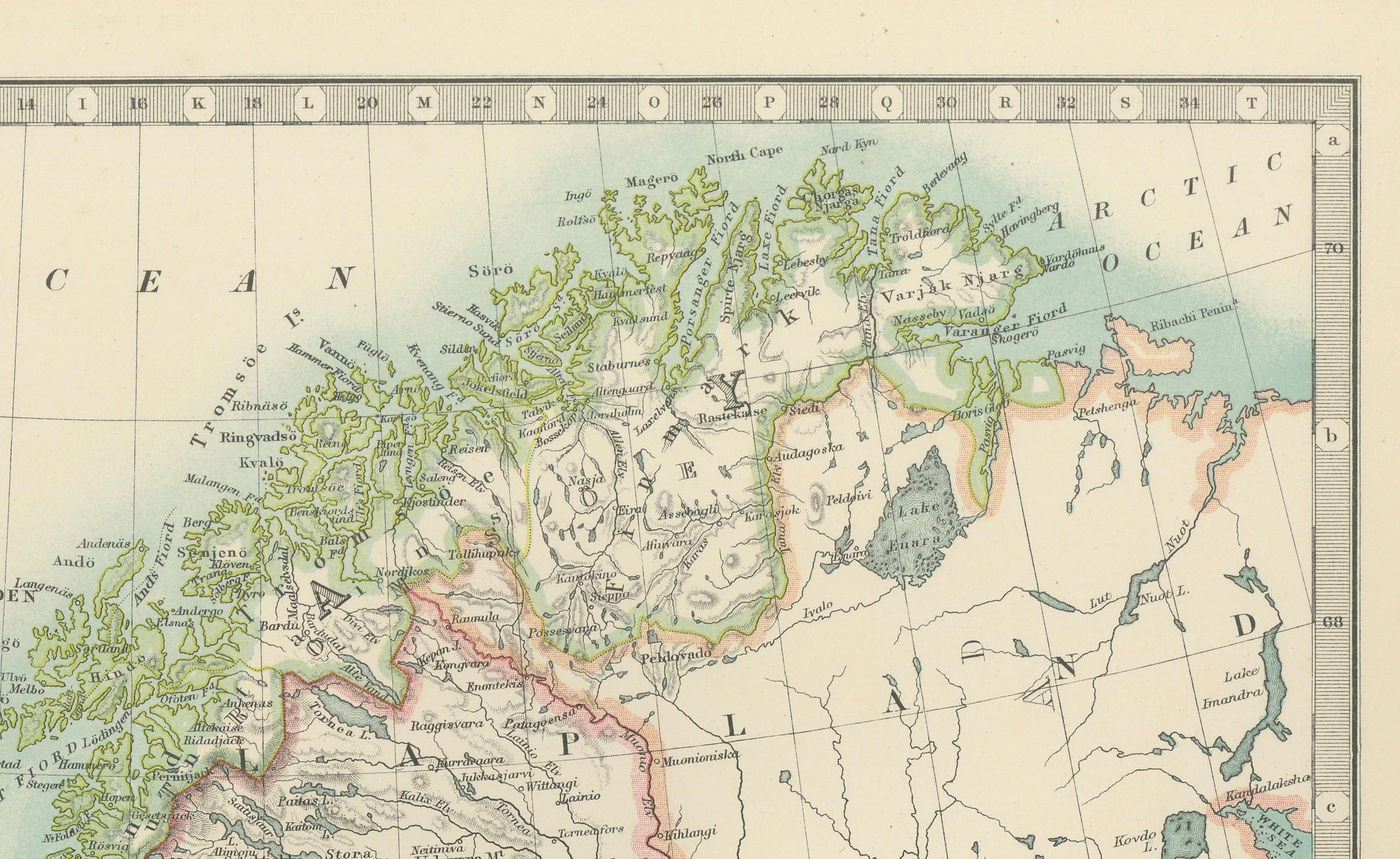
This antique map, titled "Sweden & Norway (Scandinavia)," was engraved and published in 1903 by W. & A.K. Johnston in Edinburgh and London. It beautifully captures the geographical and political landscape of Scandinavia at the turn of the 20th century, highlighting the natural grandeur and strategic location of these northern European countries.
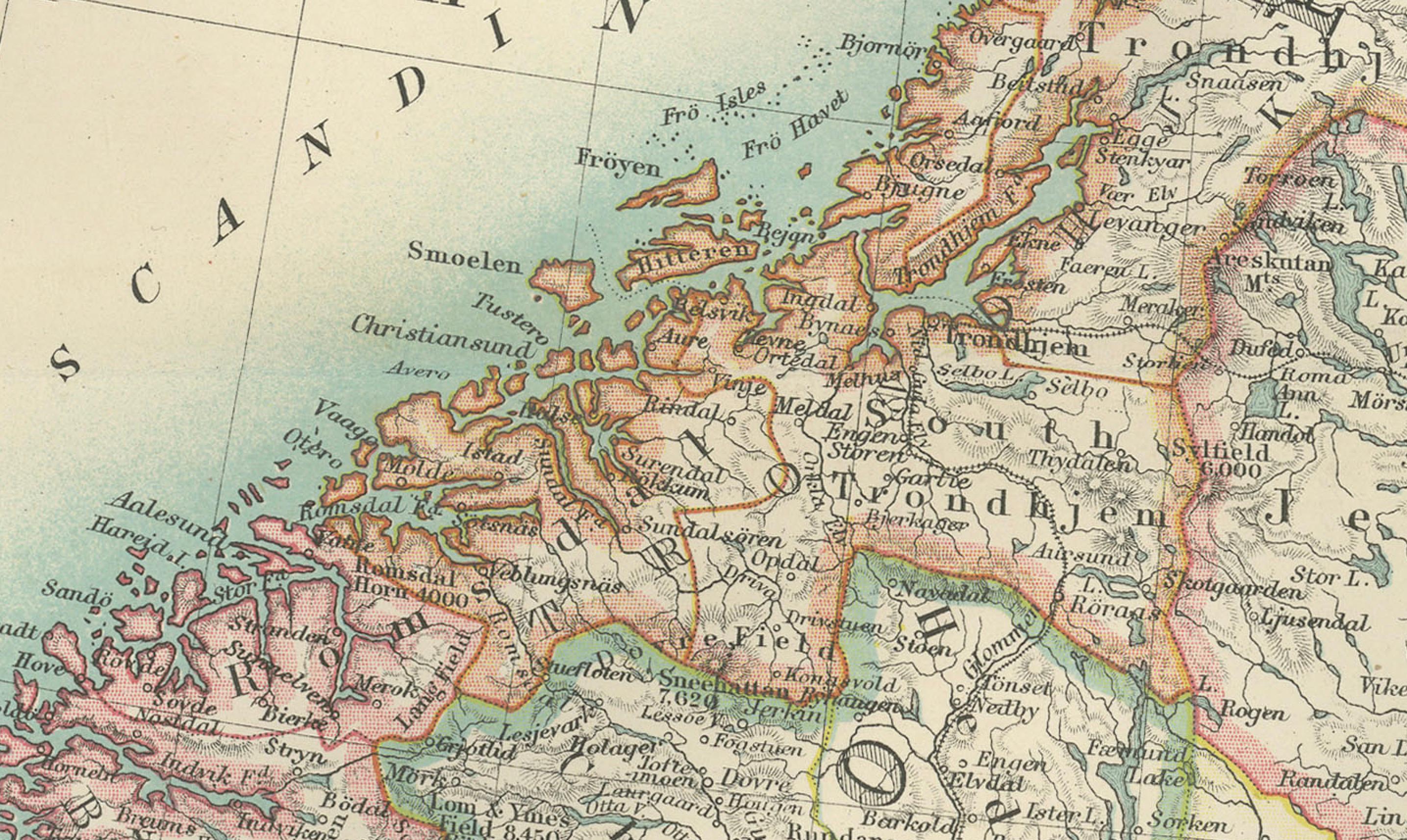
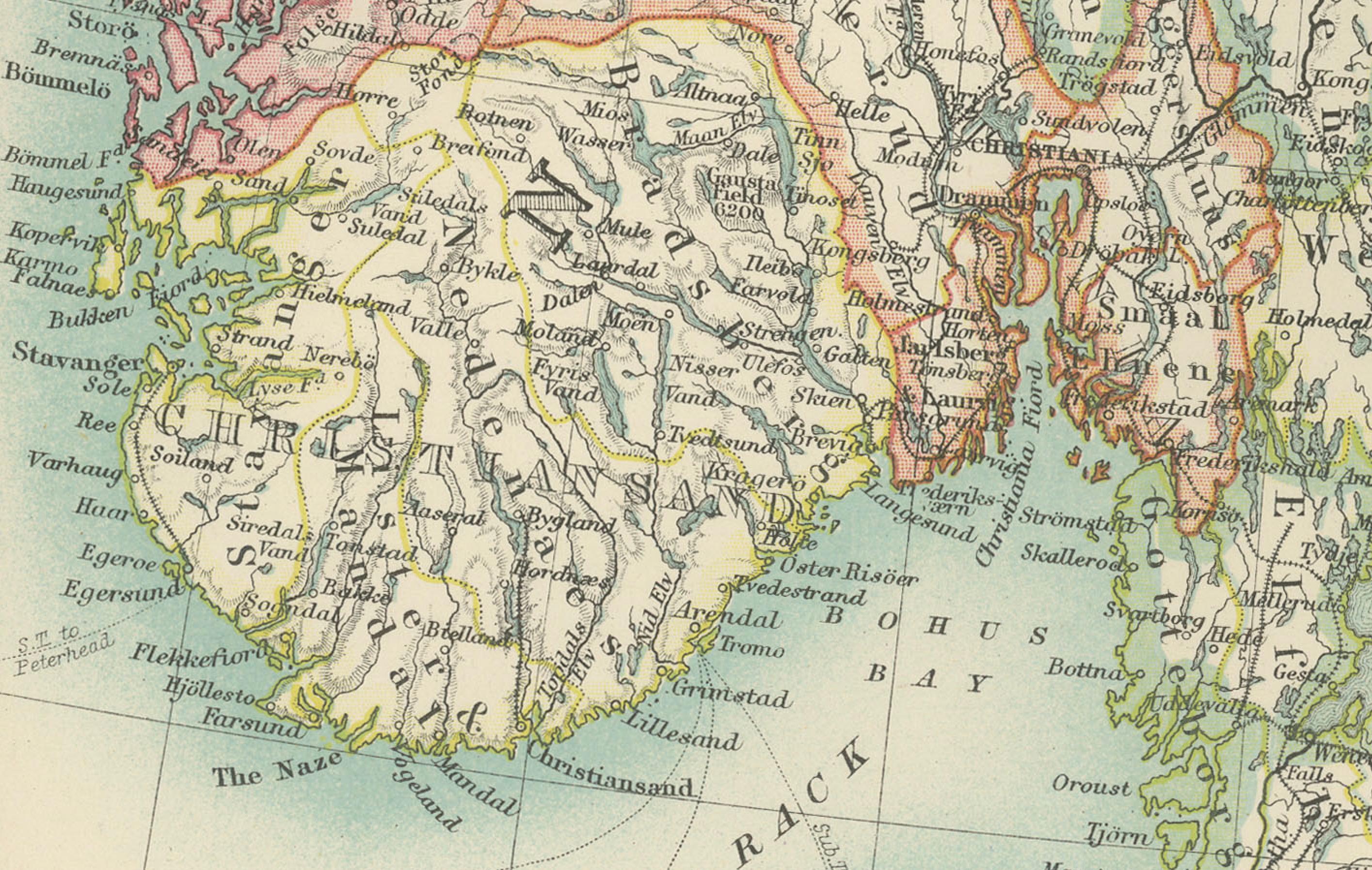
The map is delicately colored in pastel shades to mark provincial and administrative boundaries, while fine linework depicts the rugged mountains, deep fjords, and expansive forests that define the Scandinavian Peninsula. Cities such as Stockholm, Oslo (then Christiania), Gothenburg, and Bergen are marked with precision, alongside key rivers, lakes, and coastal features.
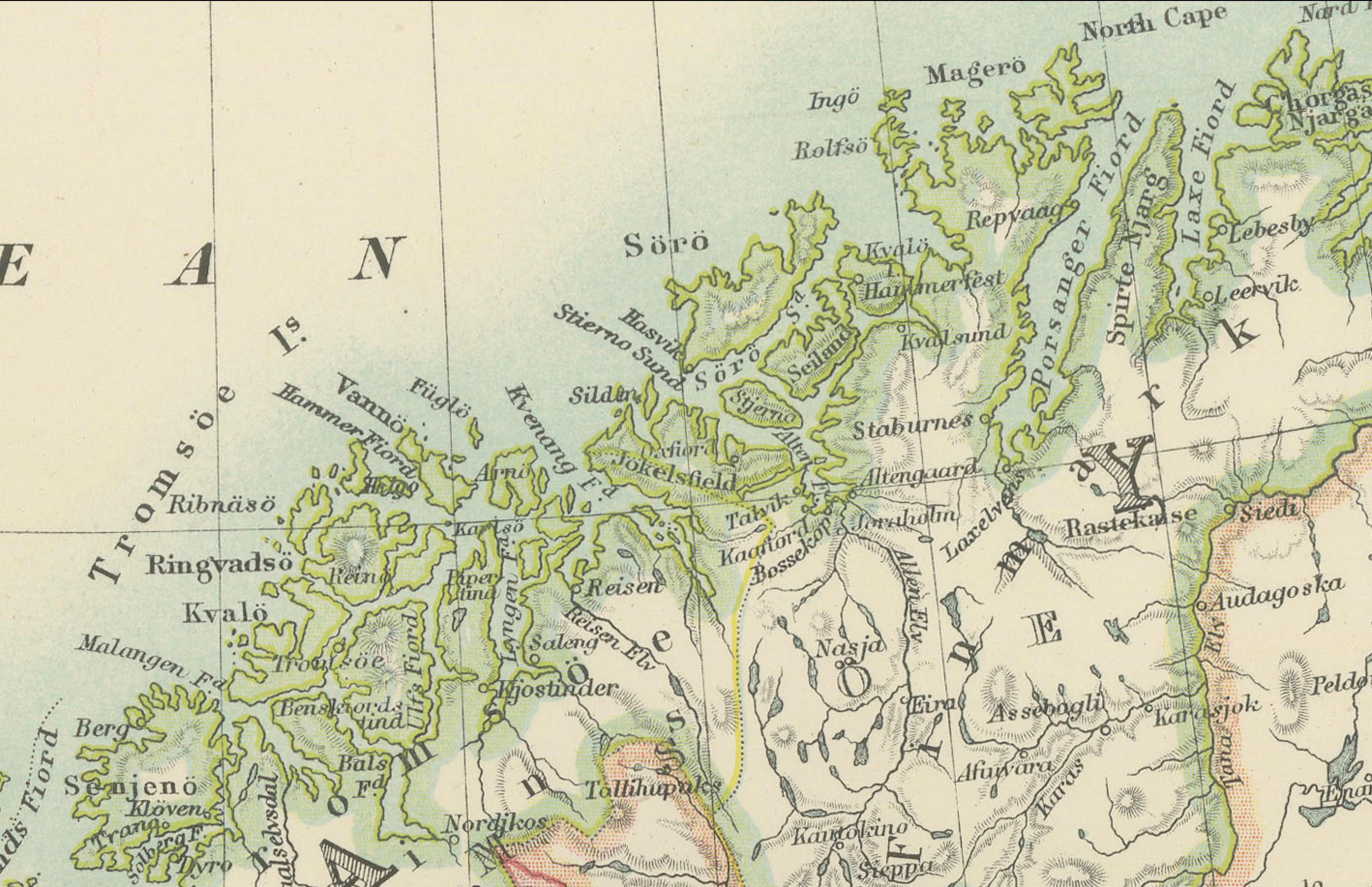
One of the most captivating aspects of this map is its depiction of the remote northern reaches above the Arctic Circle, including the northern coastlines and the rugged archipelagos of the Lofoten Islands. The carefully engraved typography and shading bring to life the varied topography of the region, emphasizing both its harsh beauty and its cultural significance.
For collectors, historians, and lovers of Scandinavian heritage, this map is more than just a visual artifact. It represents a time when these nations were known for their maritime traditions and natural resources, poised on the brink of the modern era. Its refined composition and careful coloring make it a statement piece for any setting.
Condition report: This map is in very good antique condition, with only slight foxing and minor toning along the edges consistent with its age. The colors remain vibrant and the paper stable and well-preserved.
Framing tips: A classic wooden frame in walnut or cherry will add warmth and depth to this antique map. Use a cream or light beige matting to accentuate the delicate coloring and fine engraving, creating a timeless and elegant display that will be a focal point in any home, library, or office.