About this sheet
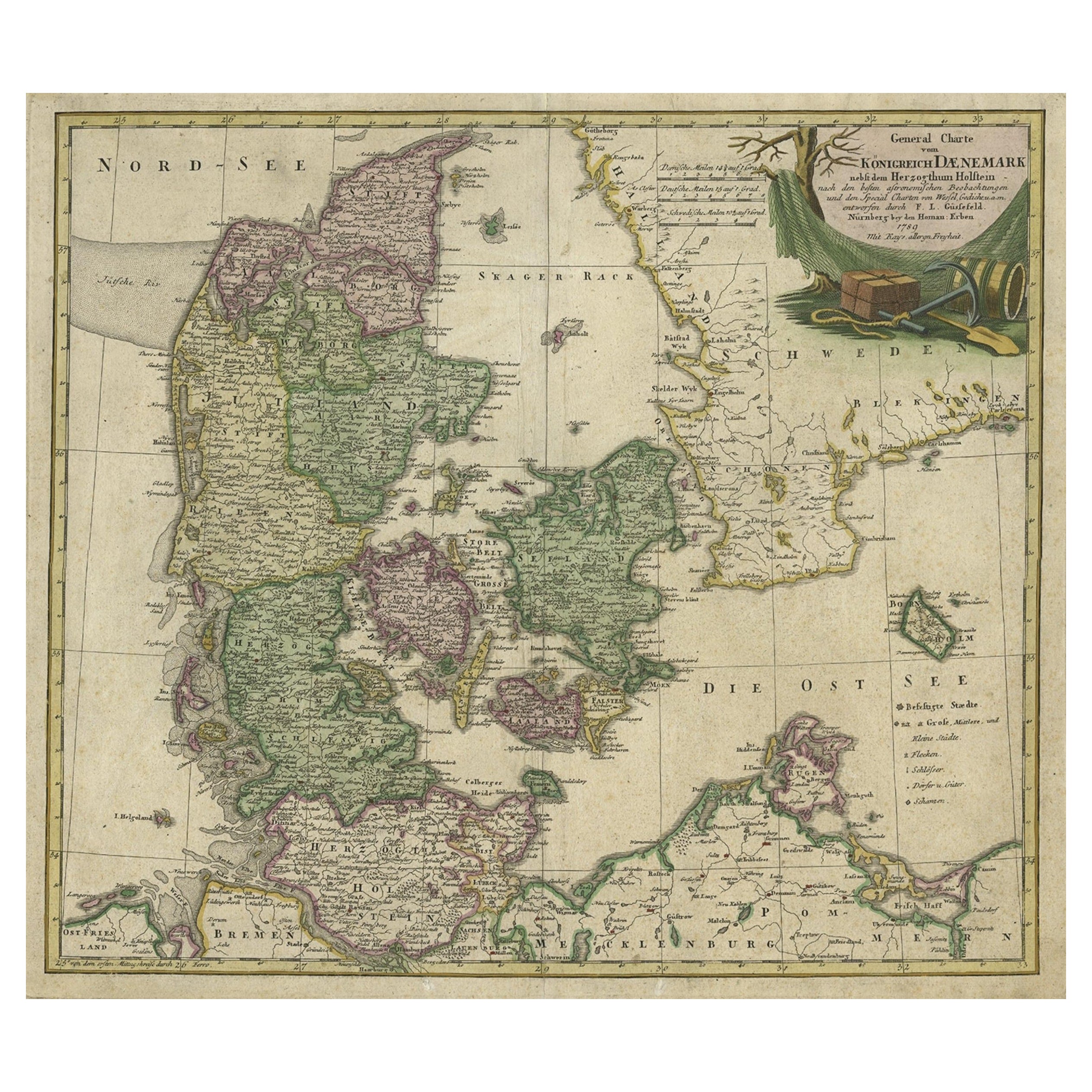
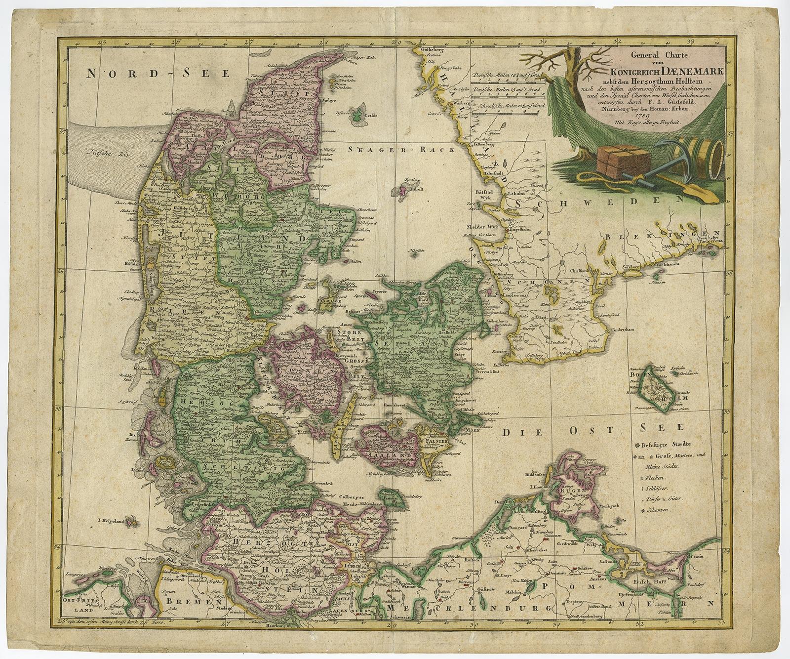
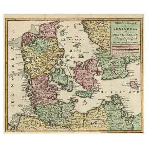
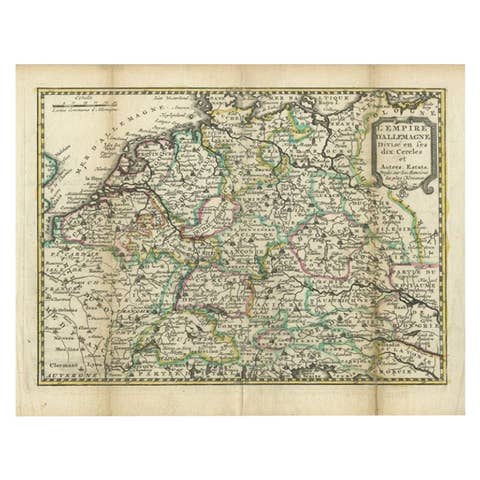
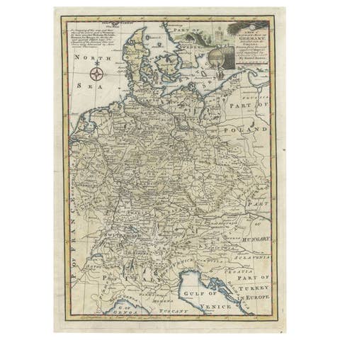
Antique map titled 'General Charte von Konigreich Daenemark nebst dem Herzogthum Holstein.' Denmark with Schleswig-Holstein and the southern coast of Sweden. The large title cartouche is embellished with a fishing net, anchor and casks. Drawn by F.L. Gussefeld and published by Homann Heirs. Source unknown, to be determined.
Artists and Engravers: Made by 'F.L. Gussefeld' after 'Homann Heirs'. The Homann family became the most important map publishers in Germany in the eighteenth century, the business being founded by J.B. Homann in Nuremberg about the year 1702. Soon after publishing his first atlas in 1707 he became a member of the Berlin academy of Sciences and in 1715 he was appointed Geographer to the Emperor. After the founder's death in 1724, the firm was continued under the direction of his son until 1730 and was then bequeathed to his heirs on the condition that it trades under the name of Homann Heirs. The firm remained in being until the next century and had a wide influence on map publishing in Germany. Apart from the atlases the firm published a very large number of individual maps. The Homanns produced a Neuer Atlas in 1714, a Grosser Atlas in 1737, and an Atlas Maior with about 300 maps in 1780. They also issued a special Atlas of Germany with full sized plans of principal cities, school atlases and an Atlas of Silesia in 1750 with 20 maps.
Condition: Fair, given age. Paper slightly browned. Edges with a few tiny tears and minimal paper loss lower left and top right corners (backed and closed). Light staining, mainly in the margins. A small dampstain in the top left margin. Several small soft creases. Original middle fold as issued. General age-related toning and/or occasional minor defects from handling. Please study image carefully.
Date: c.1750
Overall size: 62.4 x 52.8 cm.
Image size: 55 x 48.3 cm.