About this sheet
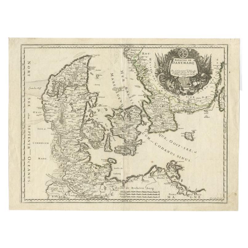
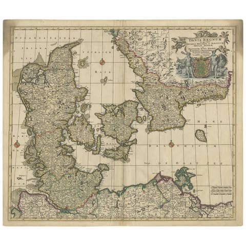
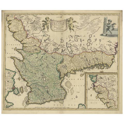
Antique map titled 'Royaume de Danemarq.' Map centered on Sjaelland and covers all of Denmark and part of southern Sweden where a dramatic title cartouche obscures the interior. Source unknown, to be determined.
Artists and Engravers: Made by 'R. Cordier' after 'Nicholas Sanson d'Abbeville'. Nicholas Sanson d'Abbeville (1600 - 1667) and his descendents were important French cartographer's active through the 17th century. Sanson started his career as a historian where, it is said, he turned to cartography as a way to illustrate his historical studies. In the course of his research some of his fine maps came to the attention of King Louis XIII who, admiring the quality of his work, appointed Sanson 'Geographe Ordinaire du Roi'. Sanson's duties in this coved position included advising the King on matters of Geography and compiling the royal cartographic archive. Sanson's corpus of some three hundred maps initiated the golden age of French Cartography.
Condition: Fair/good, given age. Several small soft creases. Plate slightly cropped. Small brown spot in the image. Original middle fold as issued. General age-related toning and/or occasional minor defects from handling. Blank verso. Please study image carefully.
Date: c.1658
Overall size: 57.7 x 43.4 cm.
Image size: 0.001 x 51.7 x 39.8 cm.