No longer available
Antique Map of the Kingdom of Sweden by Güssefeld (1793)
This sheet is no longer available. Each item we offer is a single original, so once it has gone it cannot be restocked. Below are available sheets from the same part of the collection.
Available now in Northern Europe

Antique Copper Engraved Map of Scandinavia by Thomas Jefferys, 1750
1750 · € 190
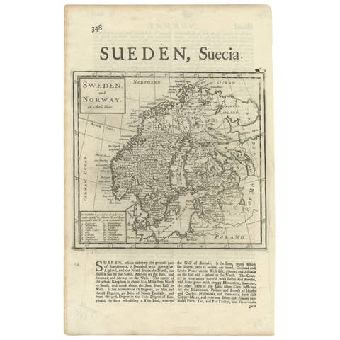
Antique Map of Sweden and Norway by H. Moll, circa 1715
1715 · € 370
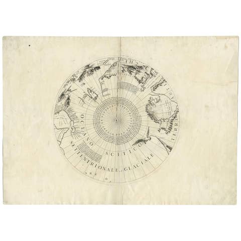
Greenland & the North Pole – Antique Polar Map by V.M. Coronelli, c.1692
1692 · € 1 290
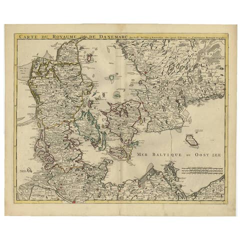
Denmark and Baltic Region – Antique Map by Guillaume de l’Isle, c.1730
1730 · € 590
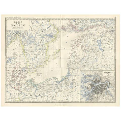
Antique Map of the Surroundings of the Baltic Sea by A.K. Johnston, 1865
1865 · € 300
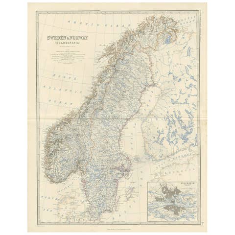
Sweden & Norway – Antique Map of Scandinavia with Stockholm Inset, 1865
1865 · € 275
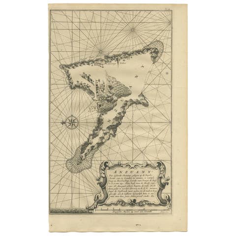
Antique Map of Anjouan Island by Valentijn, 1726
1726 · € 430
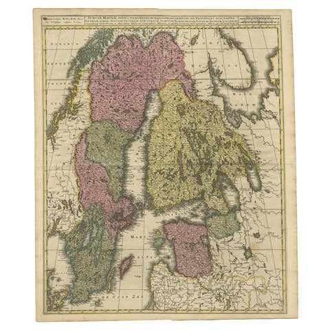
Scandinavia & Baltic Map – Antique by G. & L. Valk, incl. Sweden, Finland, c1700
€ 596
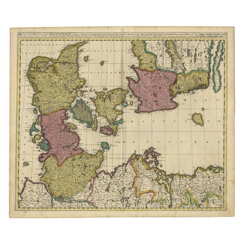
Map of Denmark Divided into Dioceses – G. & L. Valk, ca. 1690
1690 · € 550
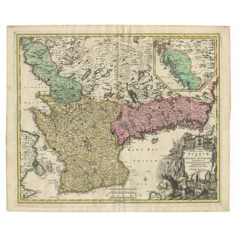
Southern Sweden Provinces Map – Homann’s ‘Nova Tabula Scaniae’, ca. 1730
1730 · € 550
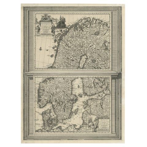
Antique Map of Scandinavia by Van der Aa 'circa 1710'
1710 · € 520
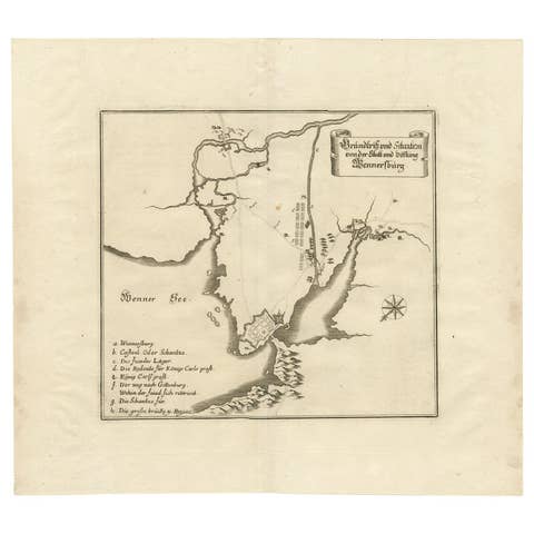
Plan of Vänersborg, Sweden – Antique Map by Merian, c.1680 Theatrum Europaeum
1680 · € 300