Black Friday starts Friday 20 November: up to 30% off, plus free FedEx shipping on qualifying orders →
Orders placed from 15 to 30 November ship from 1 December, in time for Christmas. Our shipping partner: InXpress.
Maps & PrintsBartele Gallery · Langweer
Home / Antique Maps / Asia / North Asia

North Asia

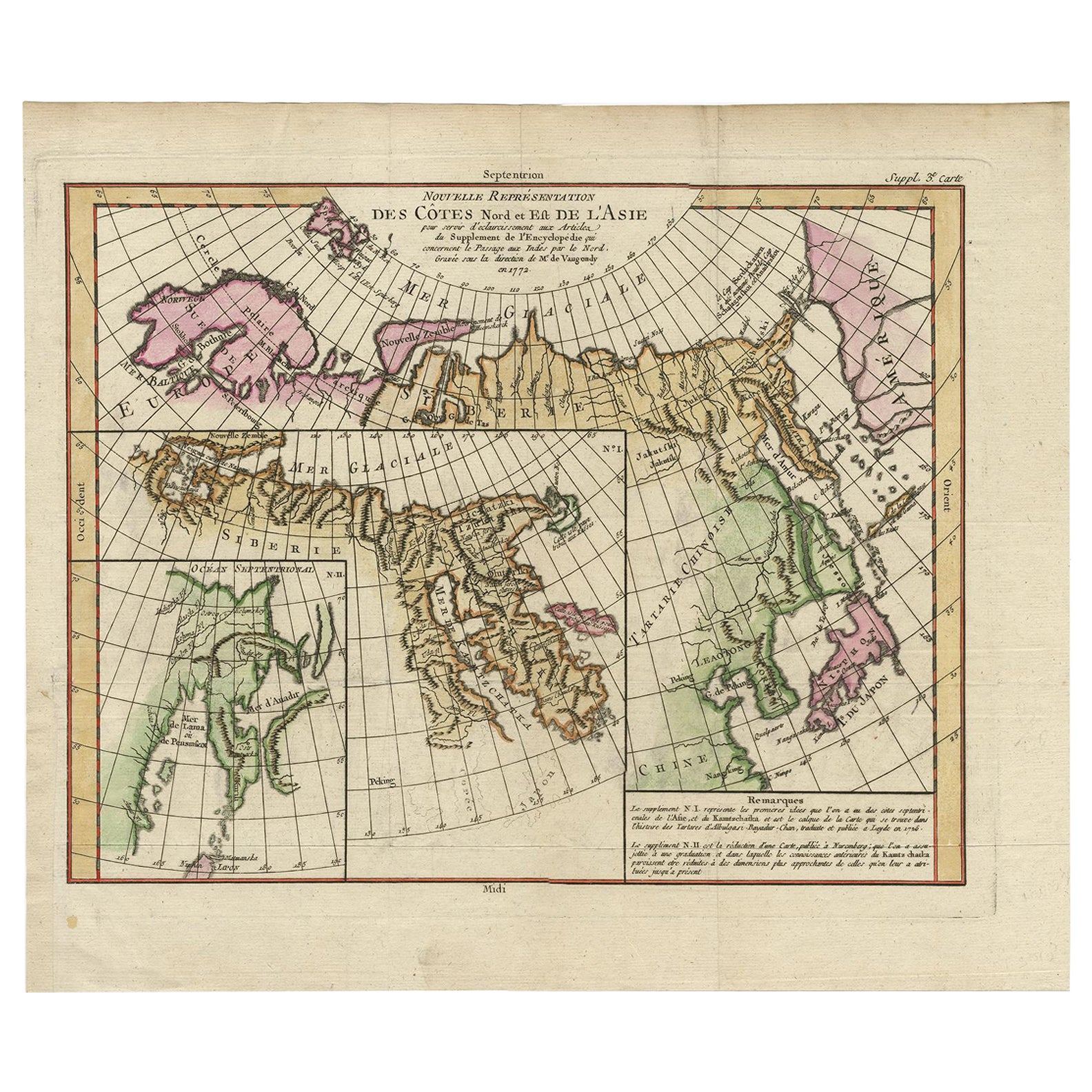
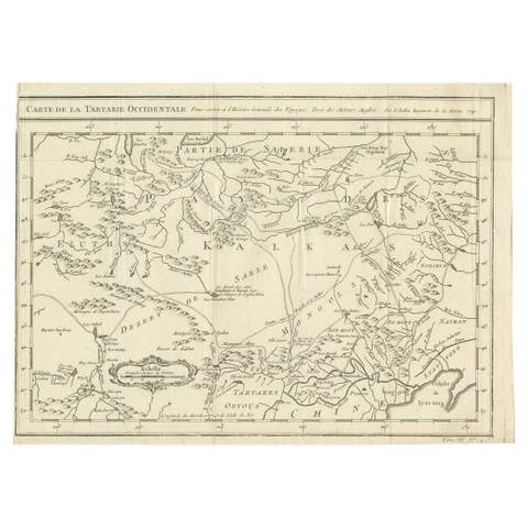
Map of North and East coast of Asia with Japan & inset maps of Kamchatka, c1750

€ 950

Original antique · The actual sheet photographed · Certificate of authenticity on request · Sold unframed · Worldwide shipping from € 15 (rates)

Sheet size
37.5 × 44.3 cm (14.8 × 17.4 in)
Condition
Good
Reference
PCT-61439
What the condition grades mean
Excellent
Bright and clean, with no faults worth mentioning.
Very good
Only light signs of age, such as faint toning.
Good
Normal signs of age for a sheet of this period: toning, some foxing, small marks or neat old repairs.
Fair
Clear faults such as staining, tears or repairs, priced to match.

Every fault we see is written in the condition note, and the whole sheet is shown uncropped in the photos.

Condition

Given age. A few minor crinkles. Original folds as issued. General age-related toning and/or occasional minor defects from handling. Please review the images for further condition details.
About this sheet

Antique map titled 'Nouvelle representation des Cotes Nord et Est de L'Asie.'

Map the north and east coast of Asia, showing an oddly shaped Japan and inset maps of Kamchatka. This old antique print originates from: 'The Encyclopédie ou Dictionnaire raisonné des sciences, des arts et des métiers, par une Société de Gens de lettres.' which was published under the direction of Diderot and d'Alembert, with 17 volumes of text and 11 volumes of plates between 1751 and 1772. It contained 72,000 articles written by more than 140 contributors. This encyclopdia was a massive reference work for the arts and sciences, as well as a means to propagate the ideas of the French Enlightment. The impact of this encyclopedia was enormous.

Artists and Engravers: Made by 'Gilles Robert de Vaugondy' after 'Denis Diderot'. Denis Diderot (1713-1784) was a French philosopher, art critic and writer. Jean le Rond d'Alembert (1717-1783) was a French mathematician, mechanician, physicist and philosopher. These plates are engraved by J.A.Defehrt and Bonaventure/Benoit-Louis Prevost after J.R Lucotte or Goussier. Gilles Robert de Vaugondy, a French cartographer with connection to the Sanson family, was born 1688 in Paris. He used Sanson's plates and also acquired plates of Jaillot. His major work was the beautiful "Atlas Universel" first issued in 1757. He died 1766 in Paris.

More from North Asia

Ask about this sheet

Map of North and East coast of Asia with Japan & inset maps of Kamchatka, c1750
Ref. PCT-61439 · € 950
We reply by email, usually within one working day.

Your favorites

Saved in this browser. Email the list to yourself to keep it on any device.

We use your email to send this list and, only if you tick the box and confirm, for occasional new arrivals. Every email has an unsubscribe link. Bartele Gallery, the Netherlands.

Powered by SiteKeys