Maps & PrintsBartele Gallery · Langweer
Home / Antique Maps / Europe / Western Europe / Germany

Germany · 19th century

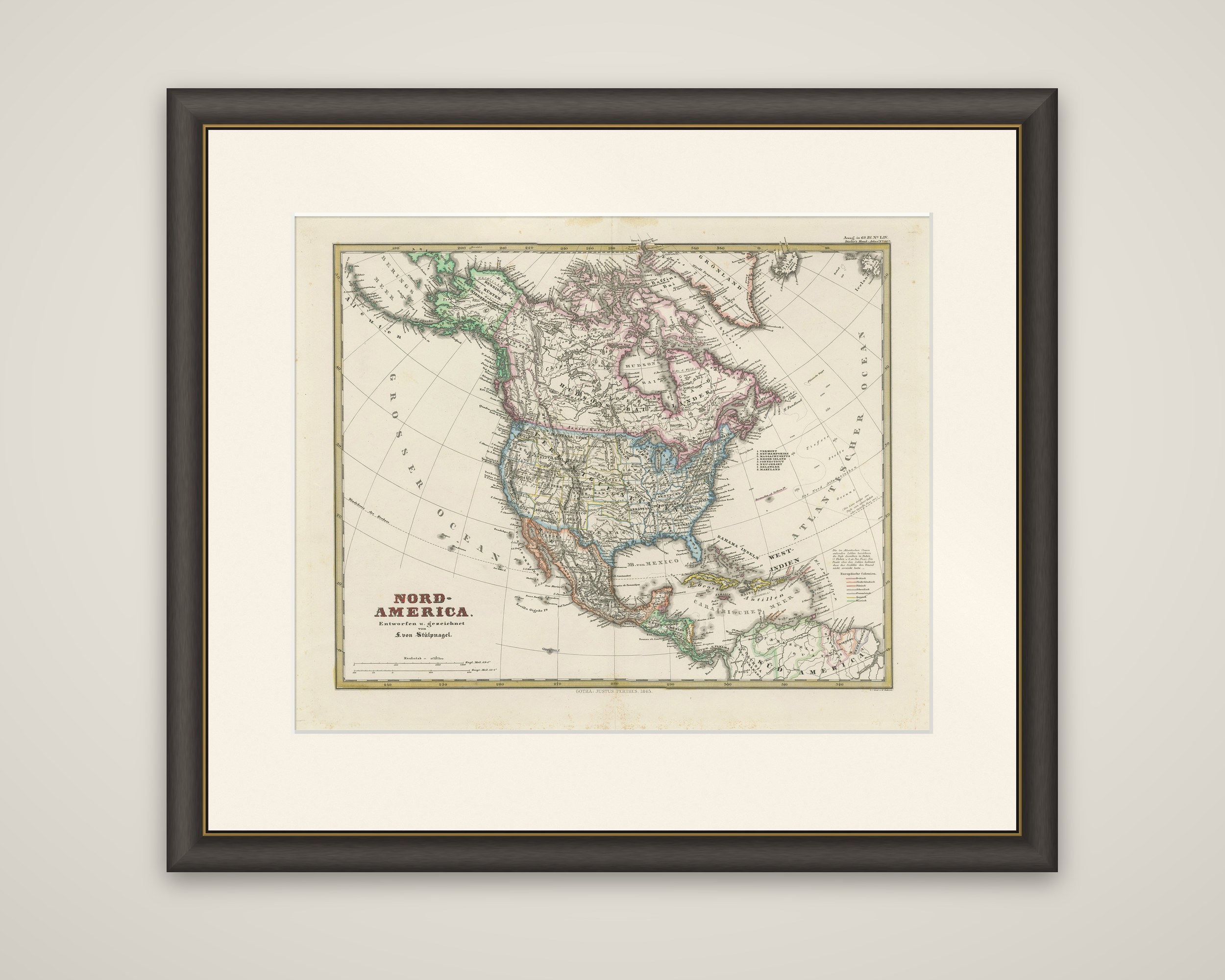
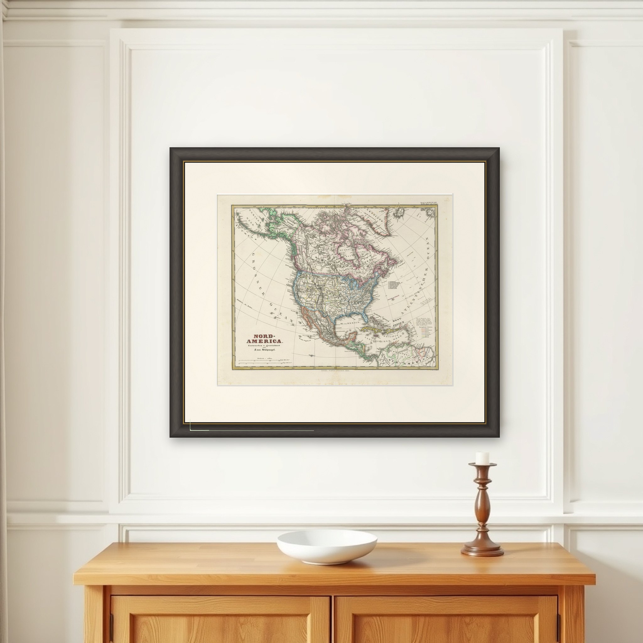
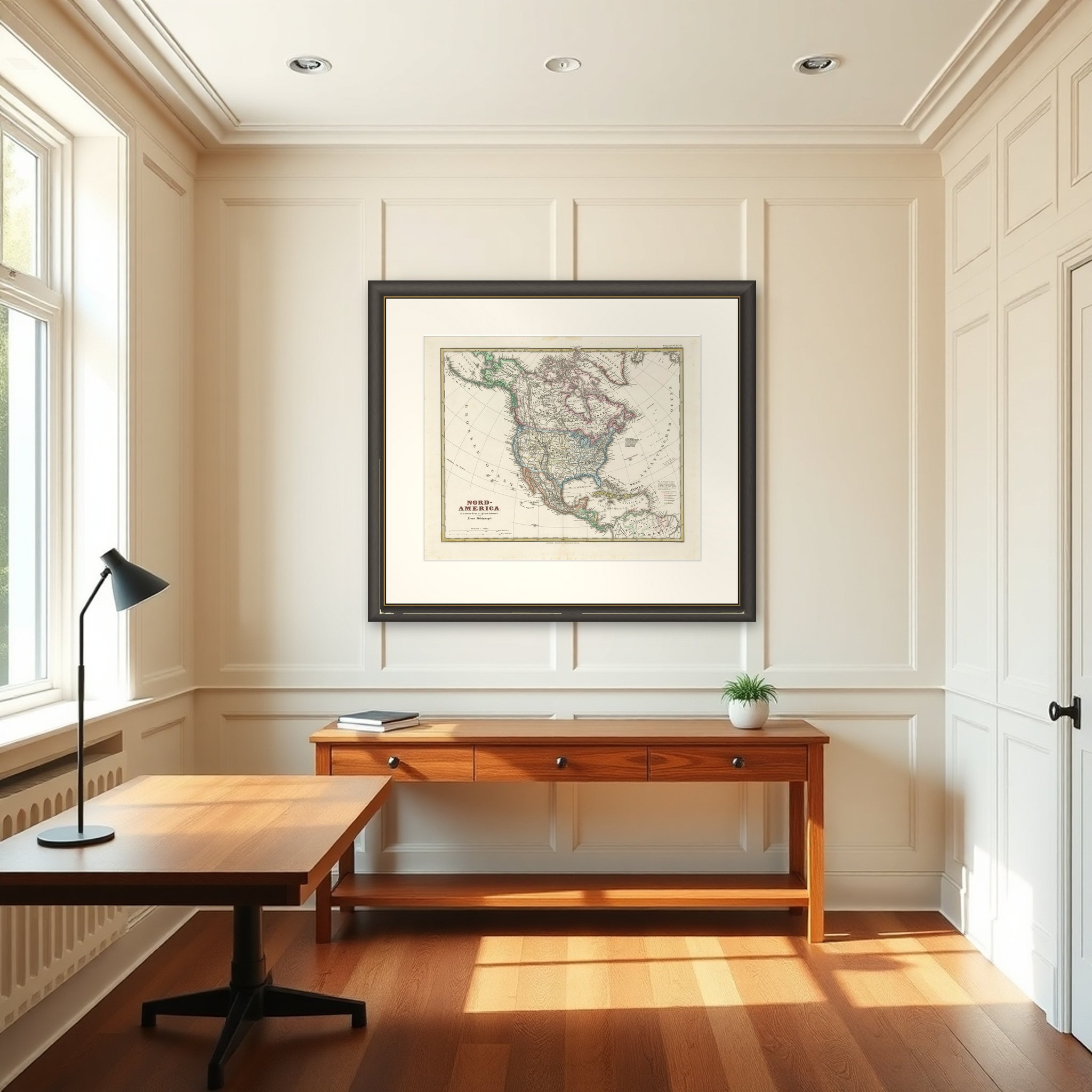
Old German Map of Northern America with Attractive Hand Coloring, 1864

€ 360

Original antique · The actual sheet photographed · Certificate of authenticity on request · Sold unframed · Worldwide shipping from € 15 (rates)

Date
1864
Technique
Engraved
Sheet size
36 × 45.5 cm (14.2 × 17.9 in)
Condition
Good
Reference
BG-13190-8
What the condition grades mean
Excellent
Bright and clean, with no faults worth mentioning.
Very good
Only light signs of age, such as faint toning.
Good
Normal signs of age for a sheet of this period: toning, some foxing, small marks or neat old repairs.
Fair
Clear faults such as staining, tears or repairs, priced to match.

Every fault we see is written in the condition note, and the whole sheet is shown uncropped in the photos.

Condition

Very good. Light wear or browning but outside the image and plate. Blank on verso. Folding line in the middle as published.
About this sheet

North America in a German map titled "Nord-America", drawn and engraved by F. von Stulpnagel and published in Gotha by Justus Perthes, in a bold hand-colored finish. The imprint at the foot reads "Gotha: Justus Perthes 1845", and the sheet carries a series number in the upper right corner, with a date of 1864 in the listing.

The map covers the whole continent, from Greenland and the Hudson Bay region of British America across the United States to Mexico, Central America and the northern edge of South America. The northwest corner is tinted in green, the British territories in the north in pink, and the United States in bold borders with each state separately outlined in a different color. The Gulf of Mexico and the islands of the West Indies are named in German as "West-Indien", with the oceans lettered as "Grosser Ocean" and "Atlantischer Ocean". A numbered key at the right lists the New England states, and a color key at the lower right explains the European colonial holdings.

The sheet is about 12 by 15 inches, and the Perthes house at Gotha, known for the fine engraving of its atlases, made the map a well-regarded German view of the continent in the mid-nineteenth century.

More from Germany

Ask about this sheet

Old German Map of Northern America with Attractive Hand Coloring, 1864
1864 · Ref. BG-13190-8 · € 360
We reply by email, usually within one working day.

Your favorites

Saved in this browser. Email the list to yourself to keep it on any device.

We use your email to send this list and, only if you tick the box and confirm, for occasional new arrivals. Every email has an unsubscribe link. Bartele Gallery, the Netherlands.