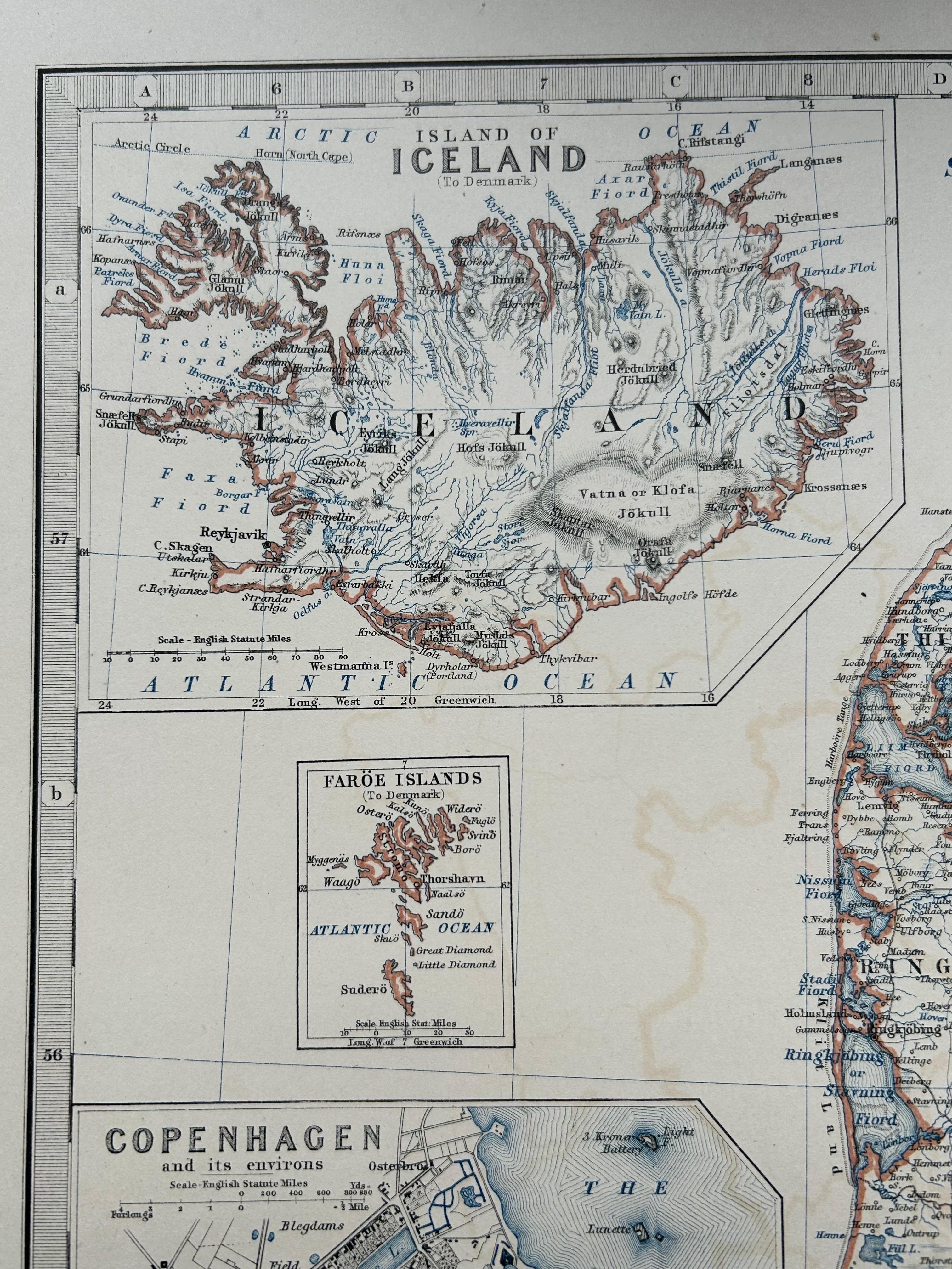
Denmark & Schleswig-Holstein Map with Copenhagen & Iceland Insets – 1865 Atlas
€ 275
One of a kind: this is the sheet in the photographs. Ships from Langweer, the Netherlands.
Date
1865
Sheet size
62 × 48.5 cm (24.4 × 19.1 in)
Condition
Good
Reference
BG-05553/17
Condition
Very good condition overall. Original outline color. Horizontal center fold as issued. Slight marginal toning and a few minor handling creases, but no tears, repairs, or major blemishes.
About this sheet
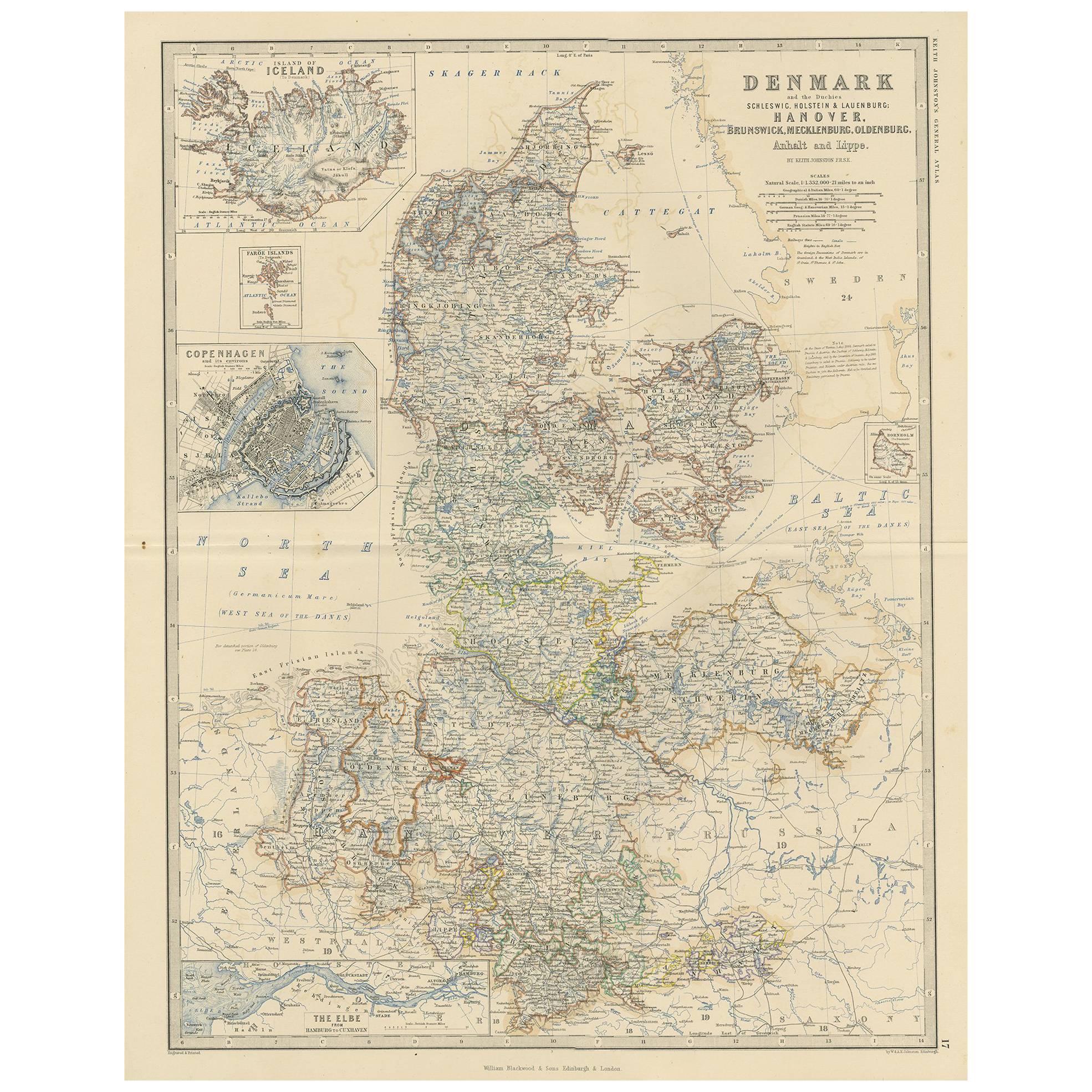
Denmark & Schleswig-Holstein Map with Copenhagen & Iceland Insets – 1865 Atlas
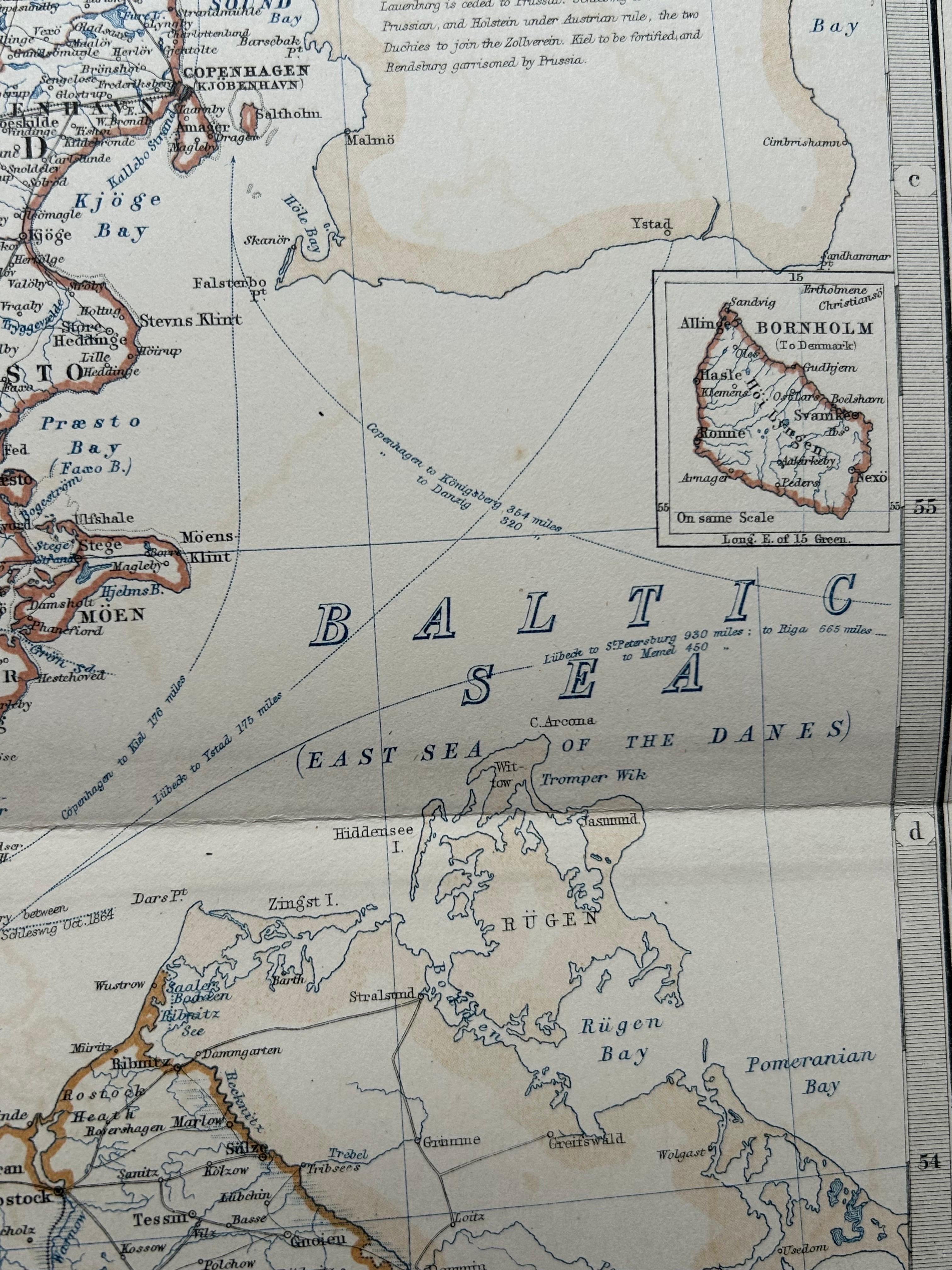
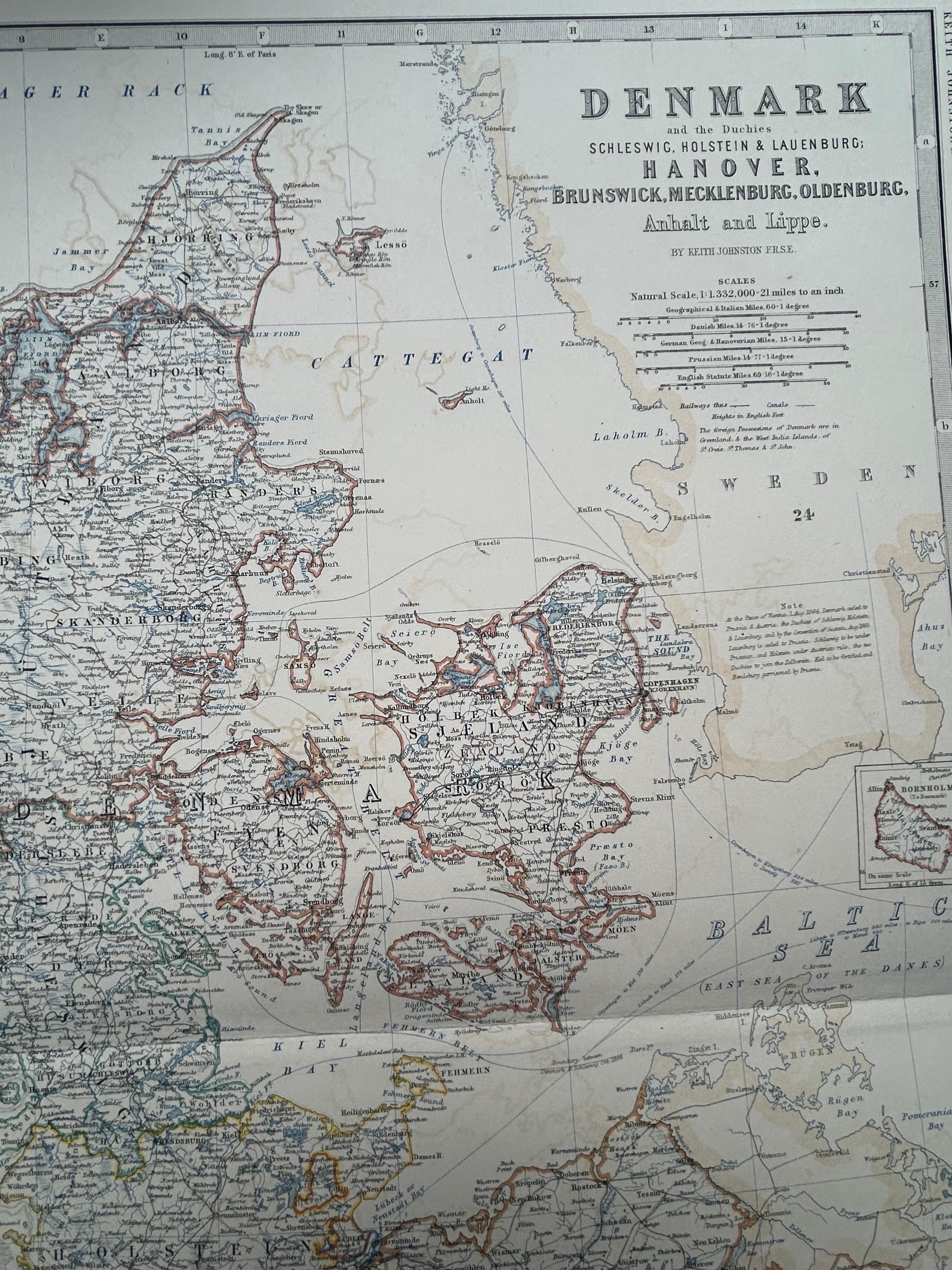
This detailed antique map titled Denmark and the Duchies Schleswig, Holstein & Lauenburg; Hanover, Brunswick, Mecklenburg, Oldenburg, Anhalt and Lippe presents a richly informative view of Northern Europe in the mid-19th century. Published in 1865 by William Blackwood and Sons as part of Alexander Keith Johnston’s Royal Atlas of Modern Geography, it reflects the high cartographic standards of the Victorian era.
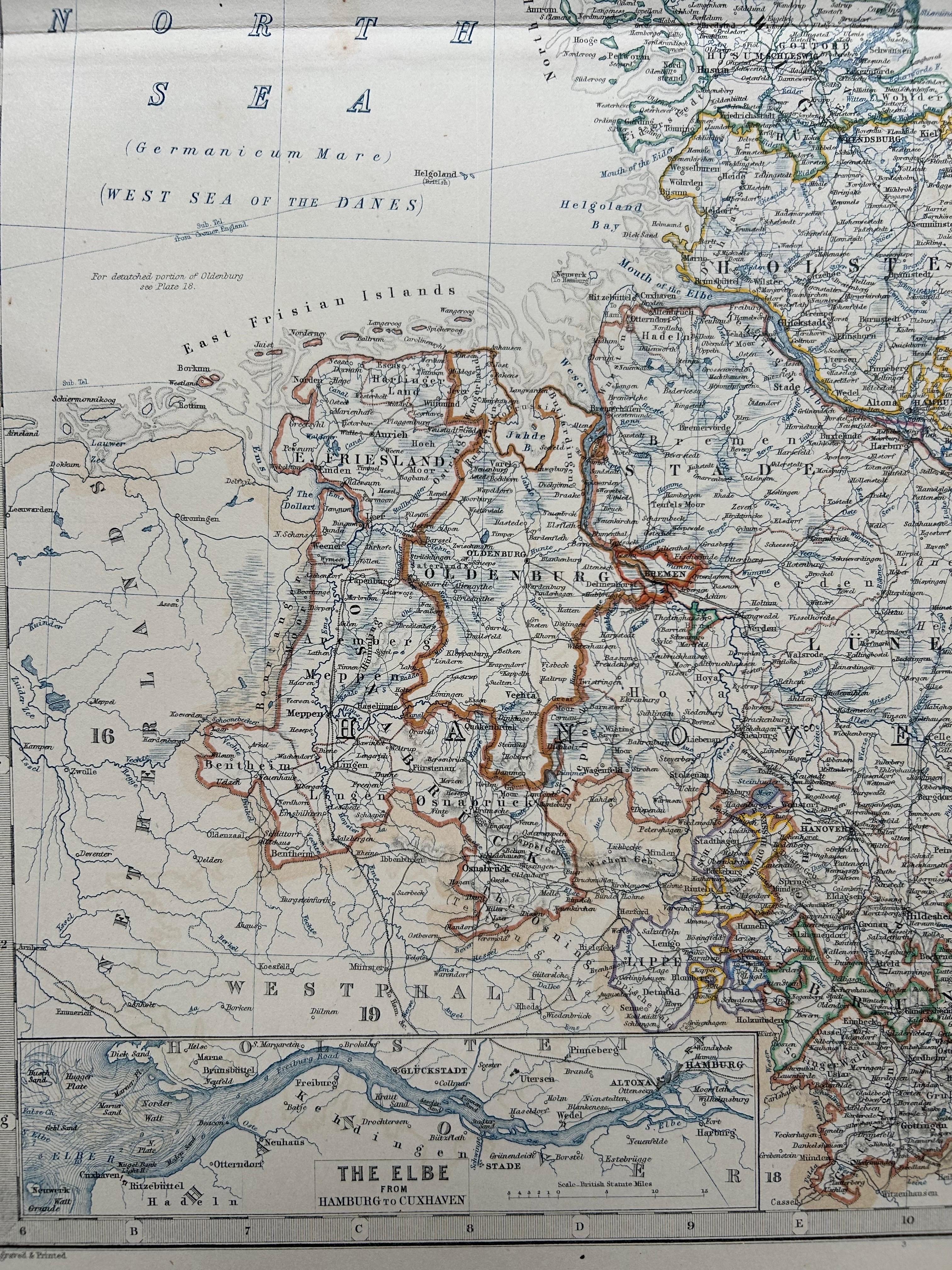
The map spans Denmark and the surrounding German duchies and principalities, with political borders clearly outlined in color. It captures a significant historical period just before the final integration of Schleswig and Holstein into Prussia following the Second Schleswig War (1864). The map shows rivers, roads, railways, towns, cities, and administrative divisions in intricate detail, providing valuable insights into the geopolitical landscape of the time.
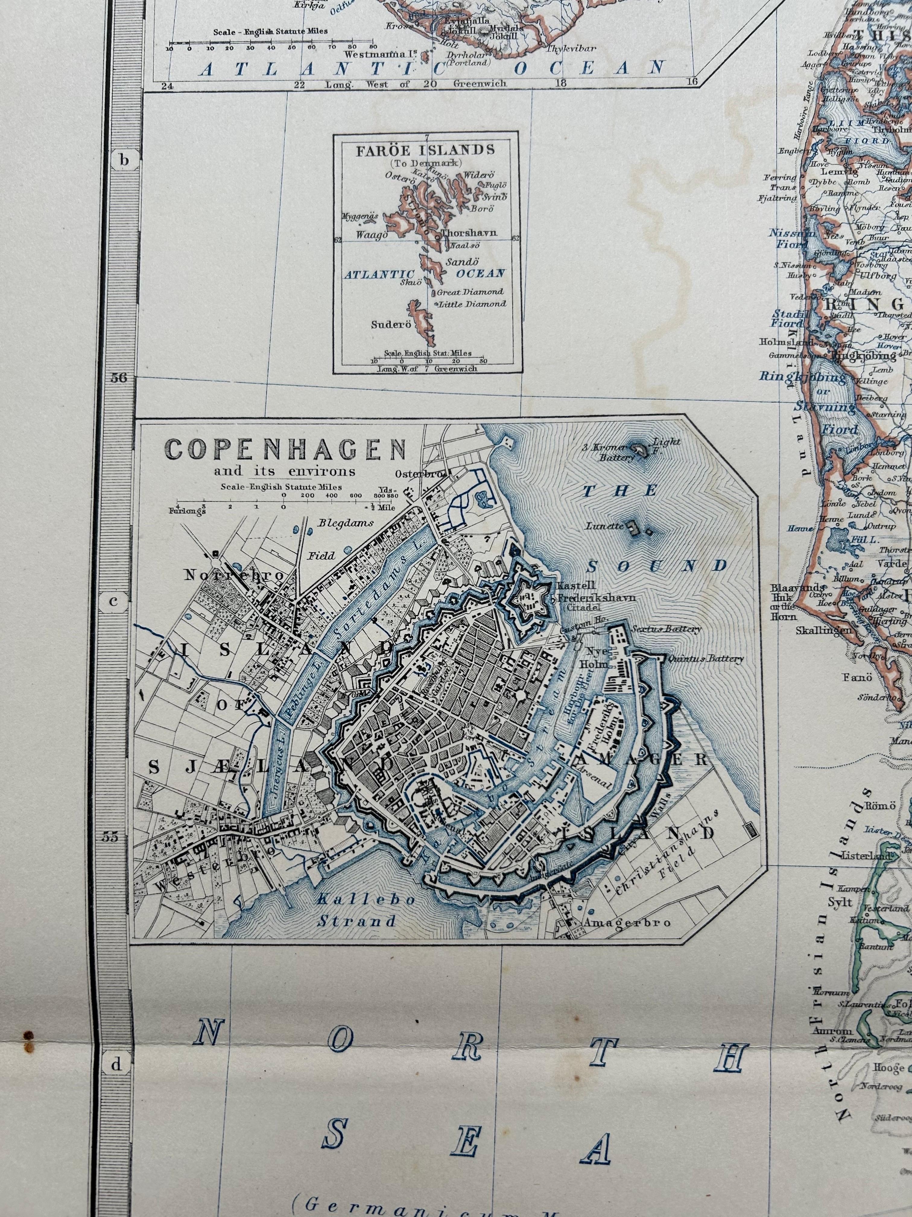
Inset maps add to the utility and interest of the sheet. These include a focused plan of Copenhagen, a wider view of Iceland, and a detailed rendering of the Elbe River near Hamburg. Johnston, one of the most respected British geographers of his time, produced this atlas for educational and professional use, with precise engraving and elegant presentation.
Collectors and historians will find this map valuable both for its geographic content and its aesthetic appeal. It illustrates a shifting European order during a period of rapid modernization, nationalism, and boundary redrawing, making it a compelling document of 19th-century cartographic history.
Condition report: Very good condition overall. Original outline color. Horizontal center fold as issued. Slight marginal toning and a few minor handling creases, but no tears, repairs, or major blemishes.
Framing tips: A wide off-white mount with a clean-lined walnut or ebonized wood frame would suit this map well. Consider using UV-protective glass to preserve the subtle color work and detail.