About this sheet
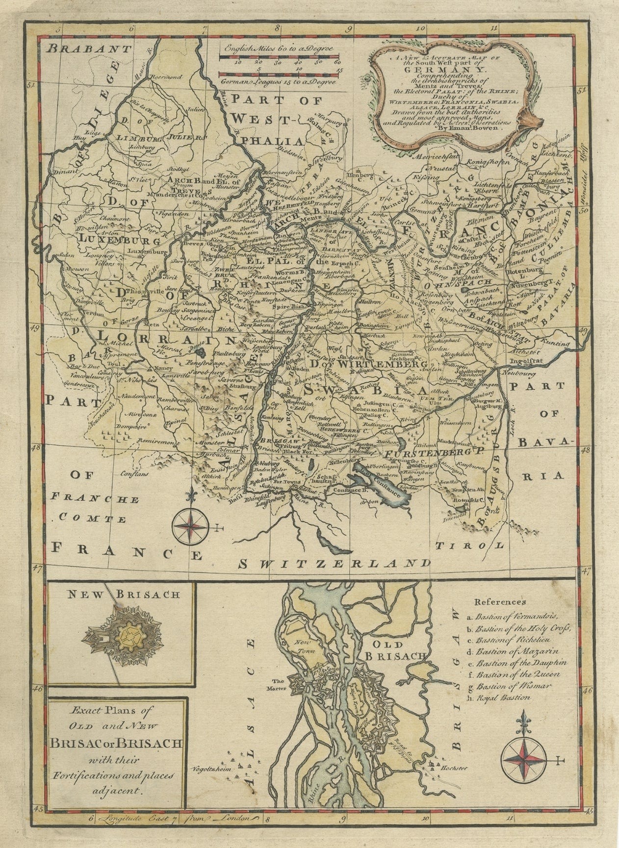
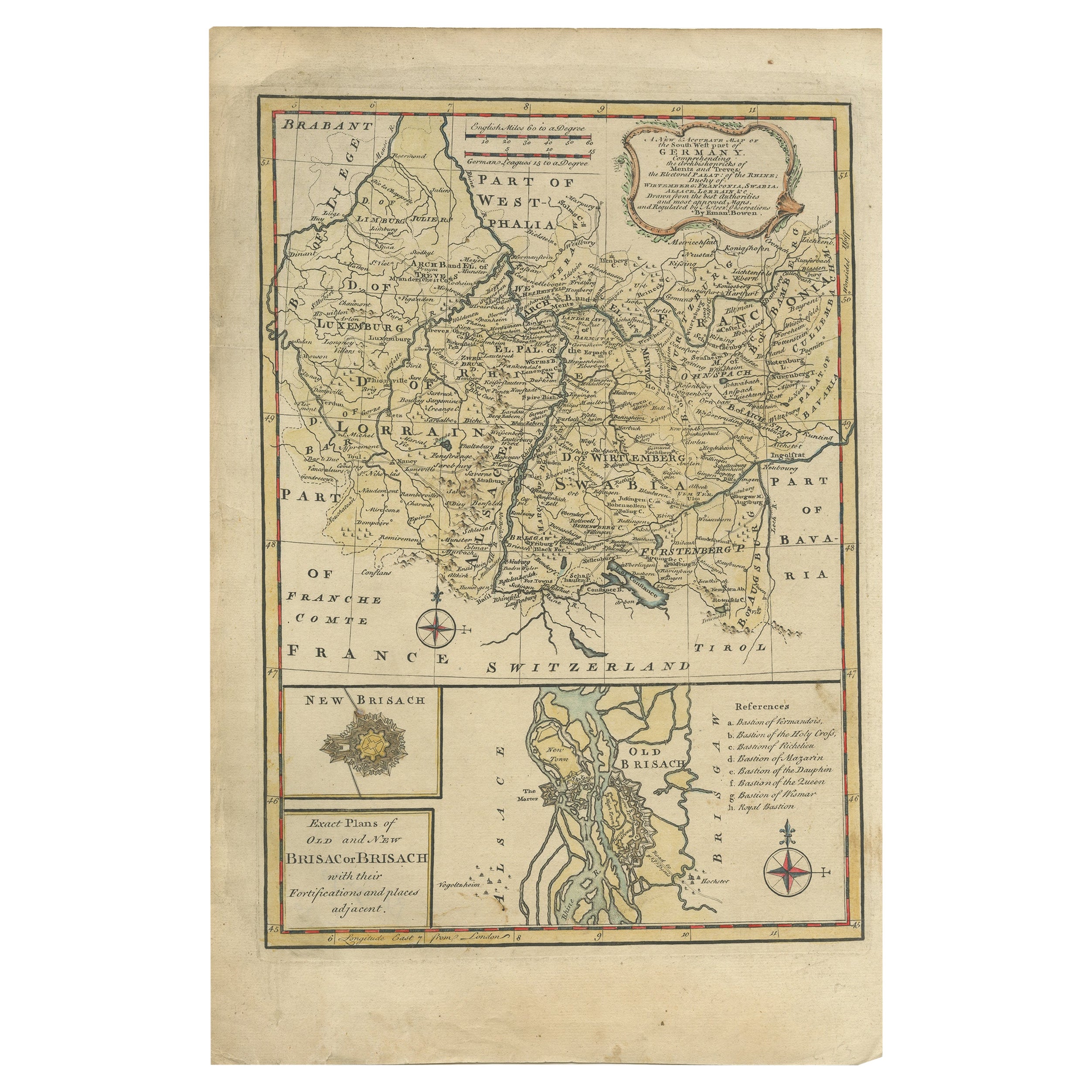
Antique map Germany titled 'A New and Accurate Map of the South West part of Germany. Comprehending the Archbishoprics of Mentz and Treves, the Electoral Palat, of the Rhine, Duchy of Wirtemberg, Franconia, Swabia, Alsace, Lorrain etc'. This map covers the southwestern parts of Germany along with parts of modern day France and Luxemburg. With a large inset of New and Old Brisach. Originates from 'A Complete System of Geography'. Artists and Engravers: Emanuel Bowen (1694-1767) was a British engraver and print seller.
Condition: Good, some toning and a few stains. Please study image carefully.
Date: 1747
Overall size: 26 x 39 cm.
Image size: 22.5 x 32 cm.
They were the product of engraved, etched or lithographed plates. These plates were handmade out of wood or metal, which required an incredible level of skill, patience and craftsmanship. Whether you have a house with Victorian furniture or more contemporary decor an old engraving can enhance your living space. We offer a wide range of authentic antique prints for any budget.