About this sheet
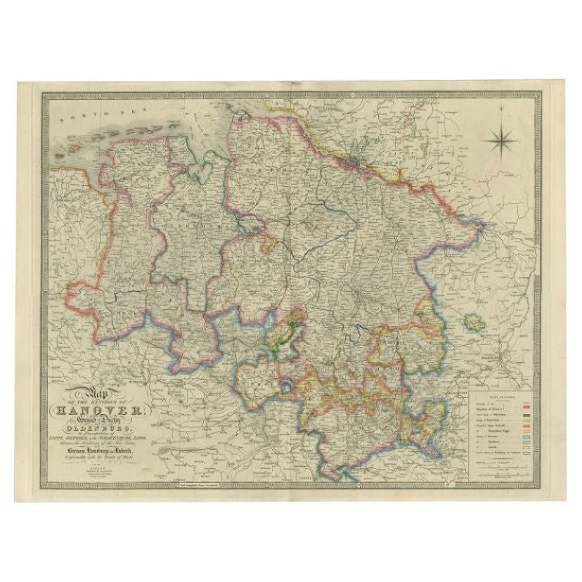
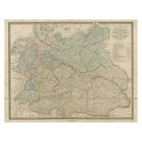
Antique map titled 'Map of the Kingdom of Hanover, with the Grand Duchy of Oldenburg, the Principalities of Lippe Detmold and Schauenburg Lippe, likewise the Territories of the Free Towns of Bremen, Hamburg and Lubeck Conformably with the Treaty of Paris'. Scarce regional map of Northern Germany filled with superb detail. Source unknown, to be determined. Artists and Engravers: James Wyld (1812?1887) was a British geographer and map-seller, best known for Wyld's Great Globe. He was successor to William Faden, one of the luminaries of late eighteenth century publishing in England. Wyld maintained the high standard of graphic and factual excellence that had been established by his predecessor and his maps are among the finest published in the early nineteenth century.
Condition: Good, given age. A few minor unobtrusive spots. Original middle fold as issued. General age-related toning and/or occasional minor defects from handling. Please study image carefully.
Date: c.1840
Overall size: 75.3 x 58.3 cm.
Image size: 0.001 x 68 x 55.5 cm.
They were the product of engraved, etched or lithographed plates. These plates were handmade out of wood or metal, which required an incredible level of skill, patience and craftsmanship. Whether you have a house with Victorian furniture or more contemporary decor an old engraving can enhance your living space. We offer a wide range of authentic antique prints for any budget.