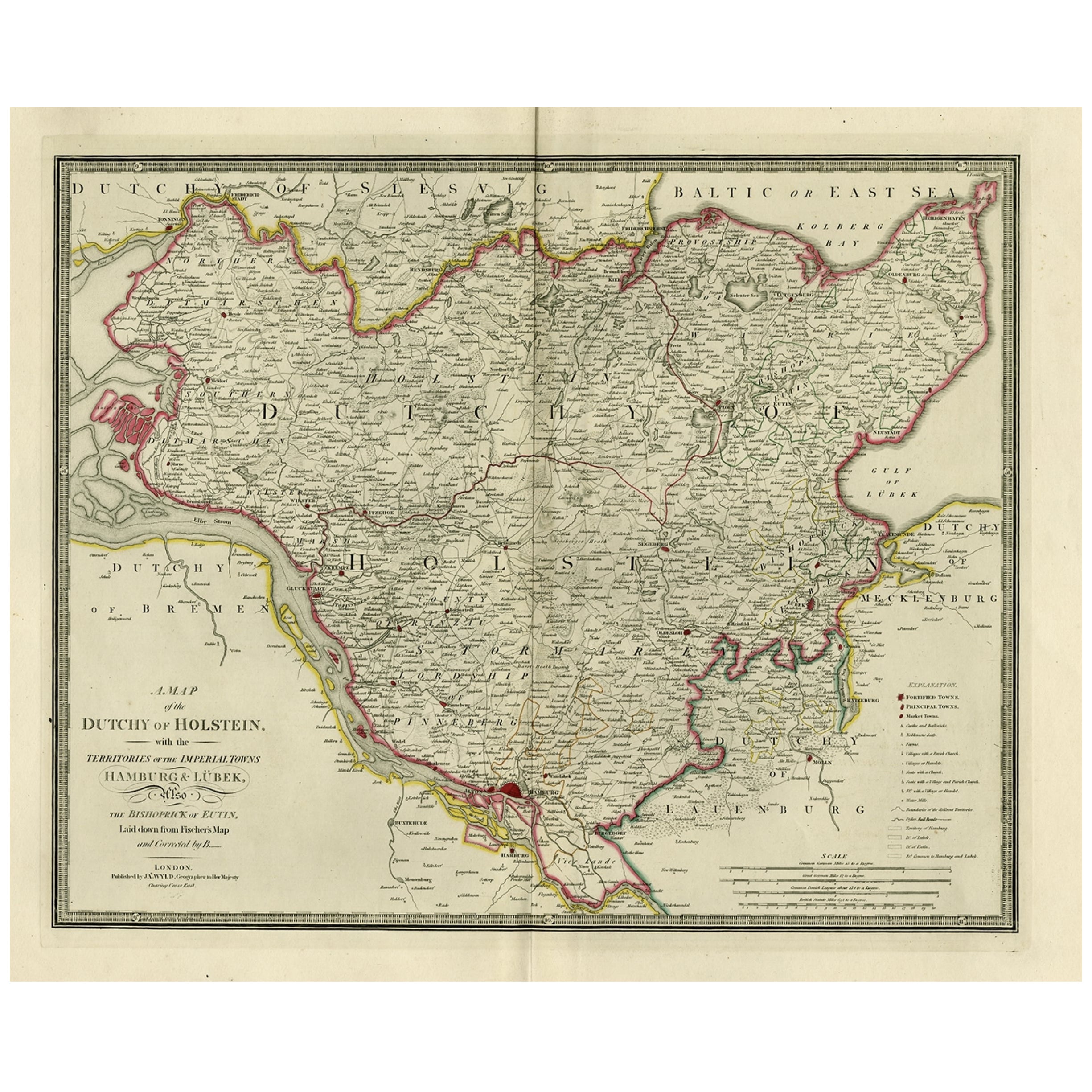
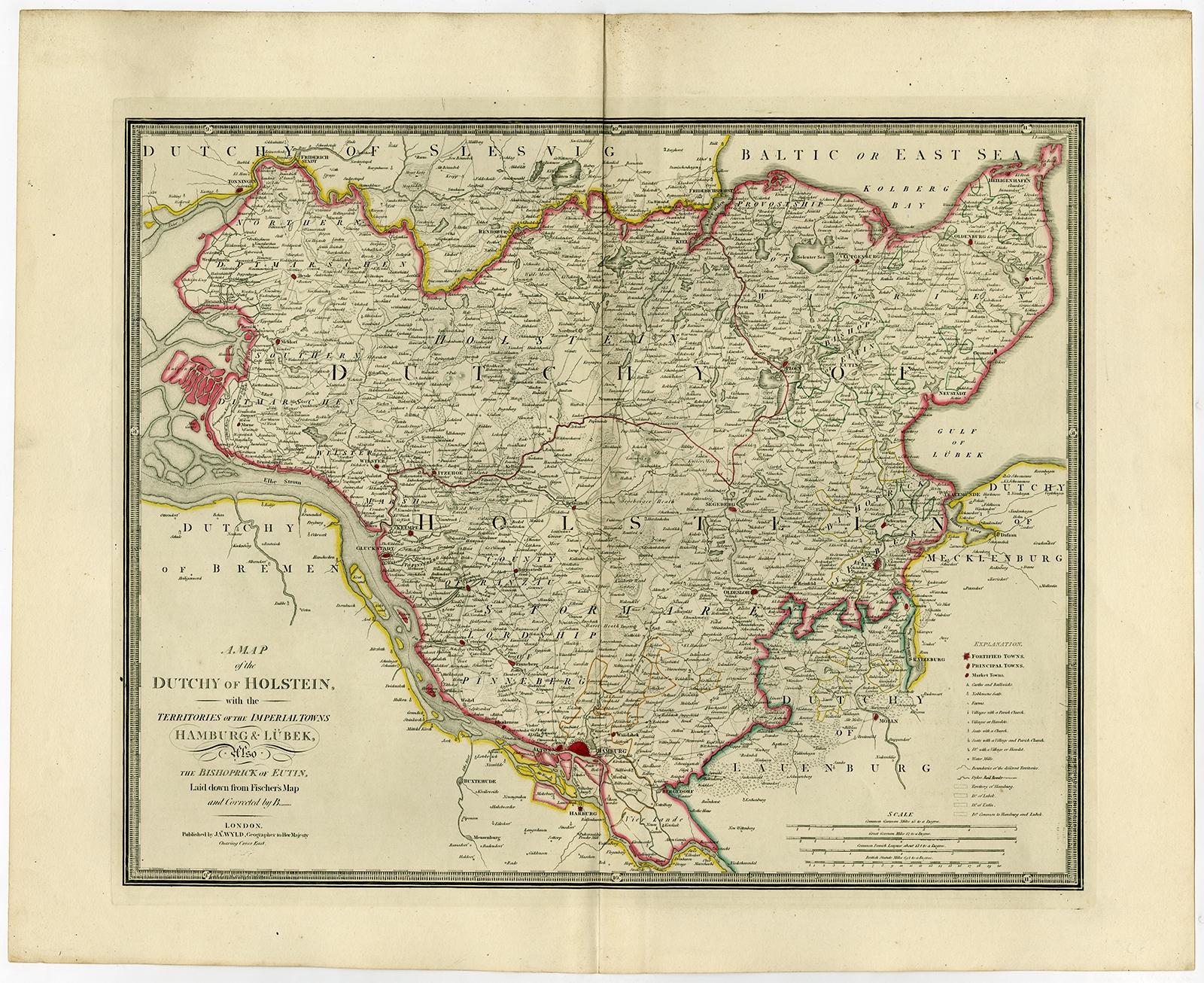
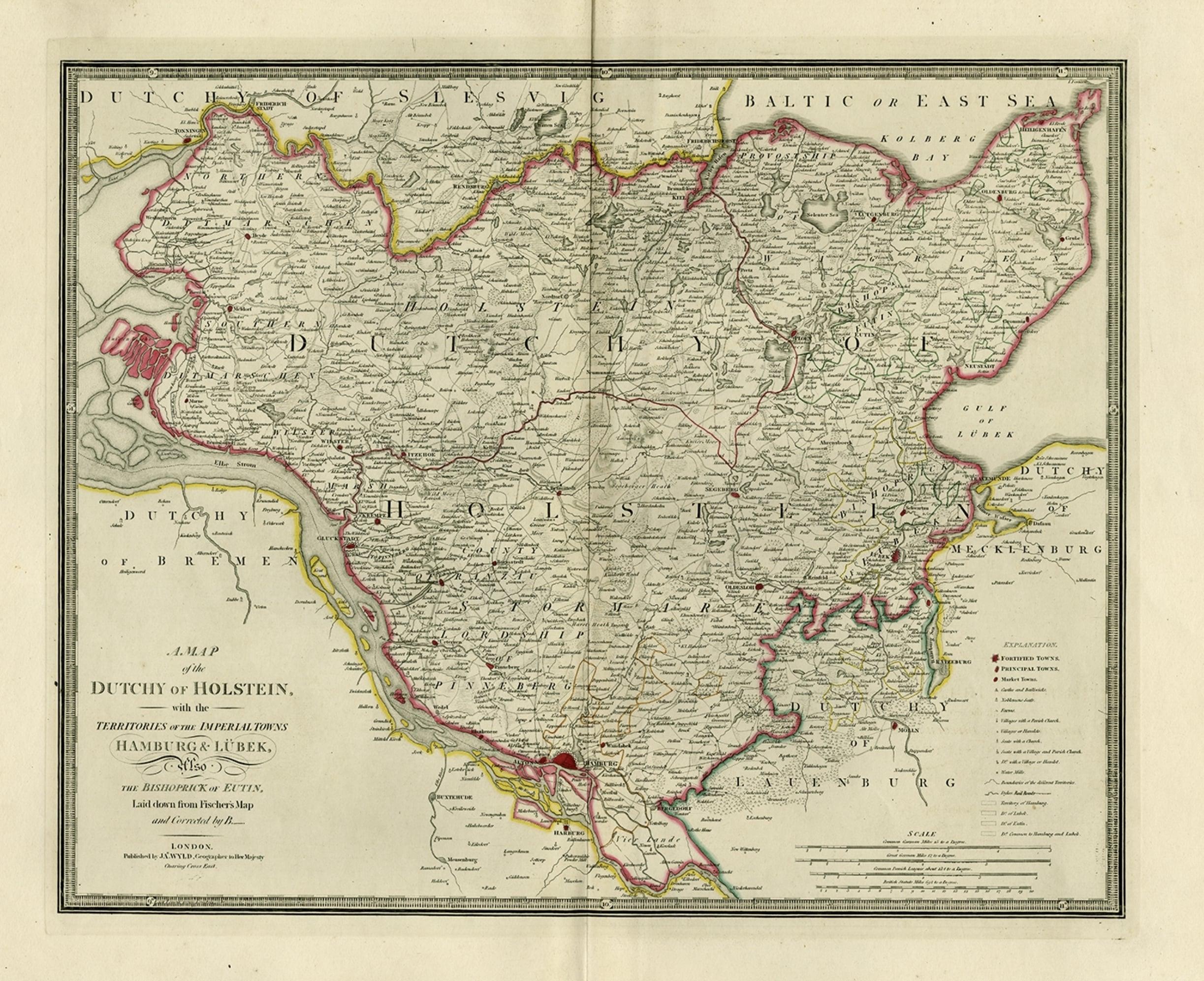
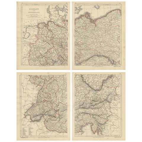
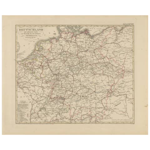
Old Map of Holstein with the Imperial Towns Hamburg & Lubeck, Germany, 1854
€ 970
Original antique · The actual sheet photographed · Certificate of authenticity on request · Sold unframed · Worldwide shipping from € 15 (rates)
Date
1854
Sheet size
56.2 × 71 cm (22.1 × 28.0 in)
Condition
Good
Reference
PCT-56398
Condition
Given age. Original middle fold, as issued. Contemporary hand coloring. General age-related toning and/or occasional minor defects from handling. Please study scan carefully.
About this sheet
Antique map titled 'Map of the Duchy of Holstein with the territories of the Imperial Towns Hamburg & Lubeck (..)
Based on a map by Fischer.' Map of the Duchy of Holstein. From James Wyld's 'A New General Atlas of Modern Geography.', published by James Wyld. Geographer to Her Majesty Charing Cross East. 1854.
Artists and Engravers: Cartographer: James Wyld. James Wyld (1812-1887) was a British publisher and cartographer. His greatest geographical achievement was Wyld's Great Globe, exhibited in Leicester Square between 1851 and 1862. The globe, sixty feet high and lighted with gas, was at that point the largest ever constructed. He was geographer to Queen Victoria and H.R.H. Prince Albert.
Condition: Good, given age. Original middle fold, as issued. Contemporary hand coloring. General age-related toning and/or occasional minor defects from handling. Please study scan carefully.