About this sheet
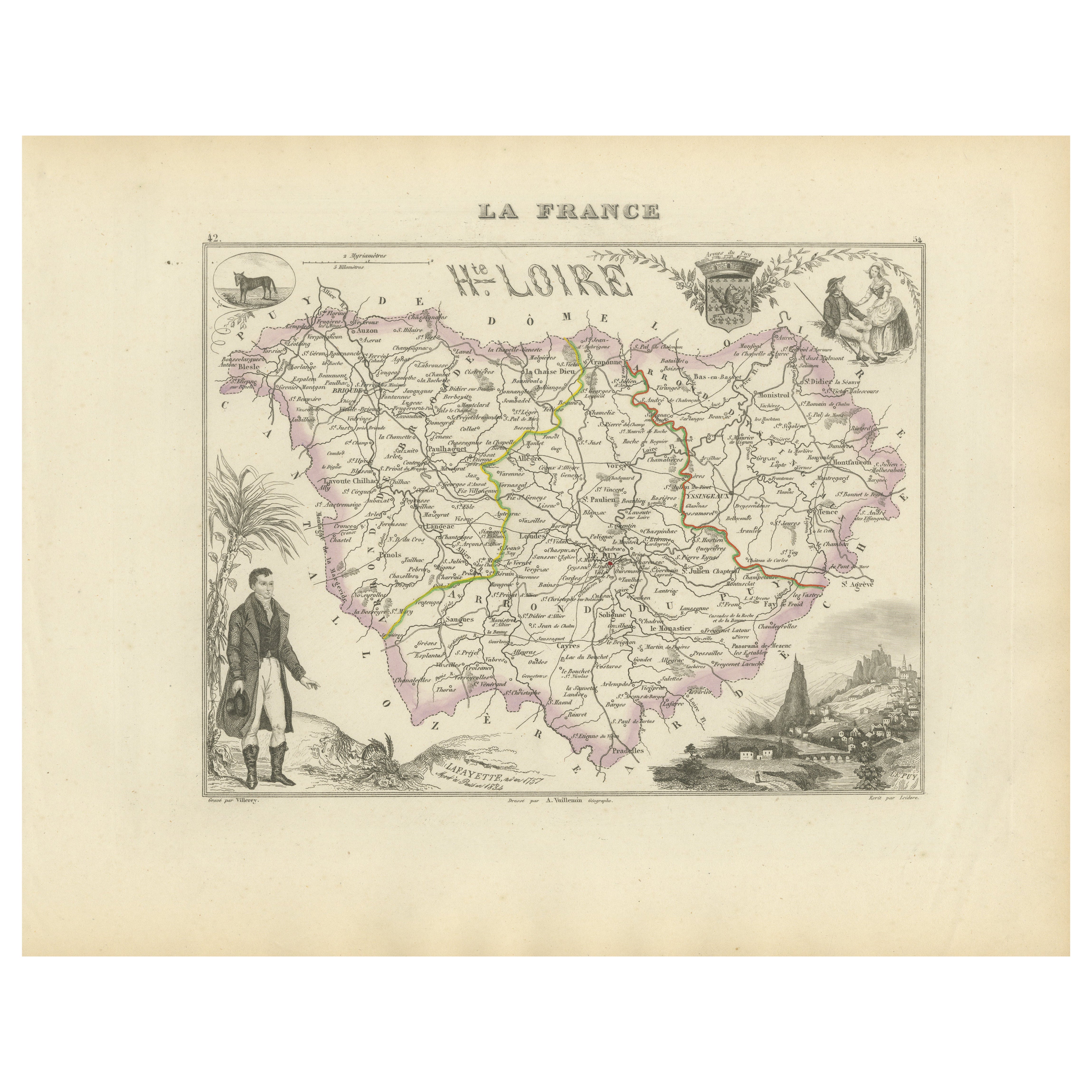
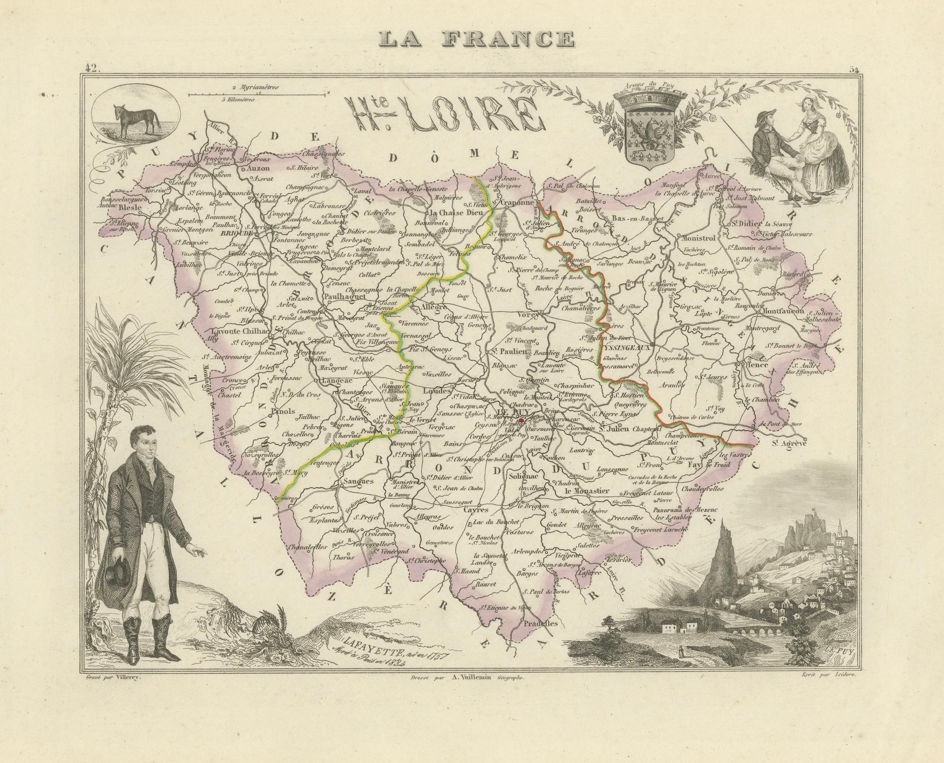
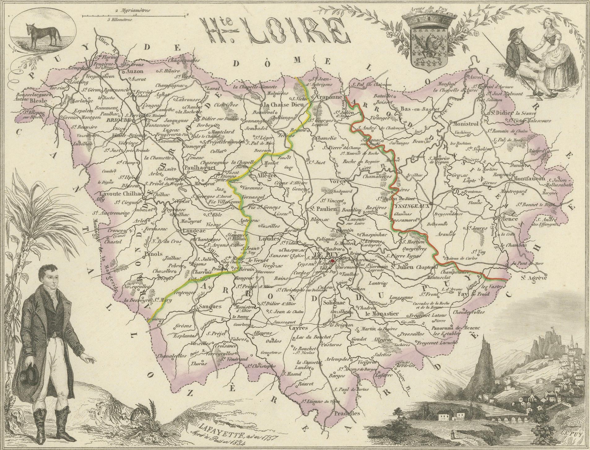
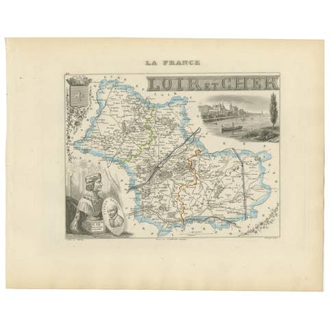
Map of Haute-Loire France with Le Puy-en-Velay by Vuillemin, 19th c
This 19th-century hand-colored map of the Haute-Loire department in south-central France is from Alexandre Vuillemin’s Nouvel Atlas Illustré, published in Paris by Migeon. Beautifully engraved and enriched with detailed vignettes and figures, the map presents a fine example of geographic and cultural cartography from the mid-1800s.
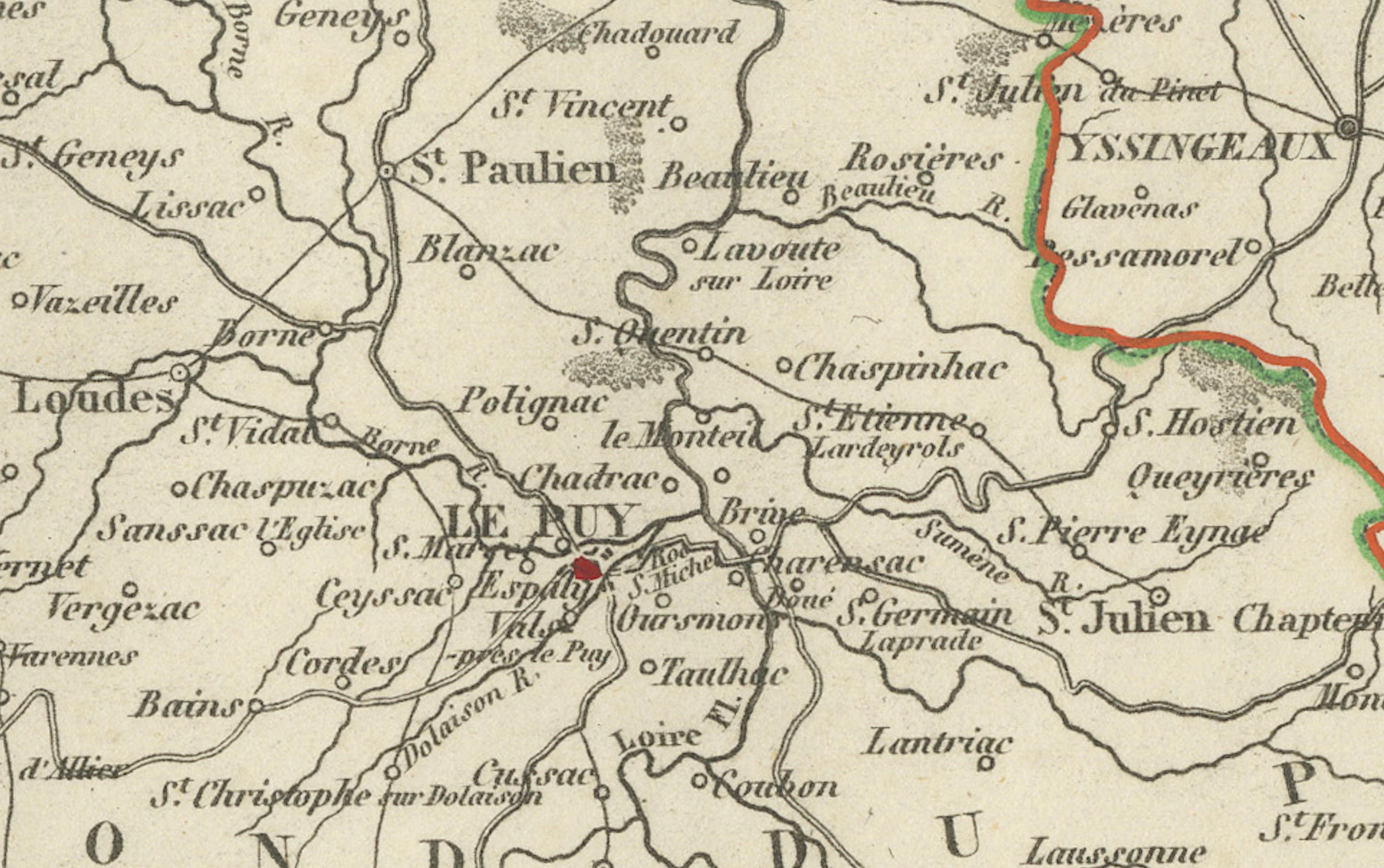
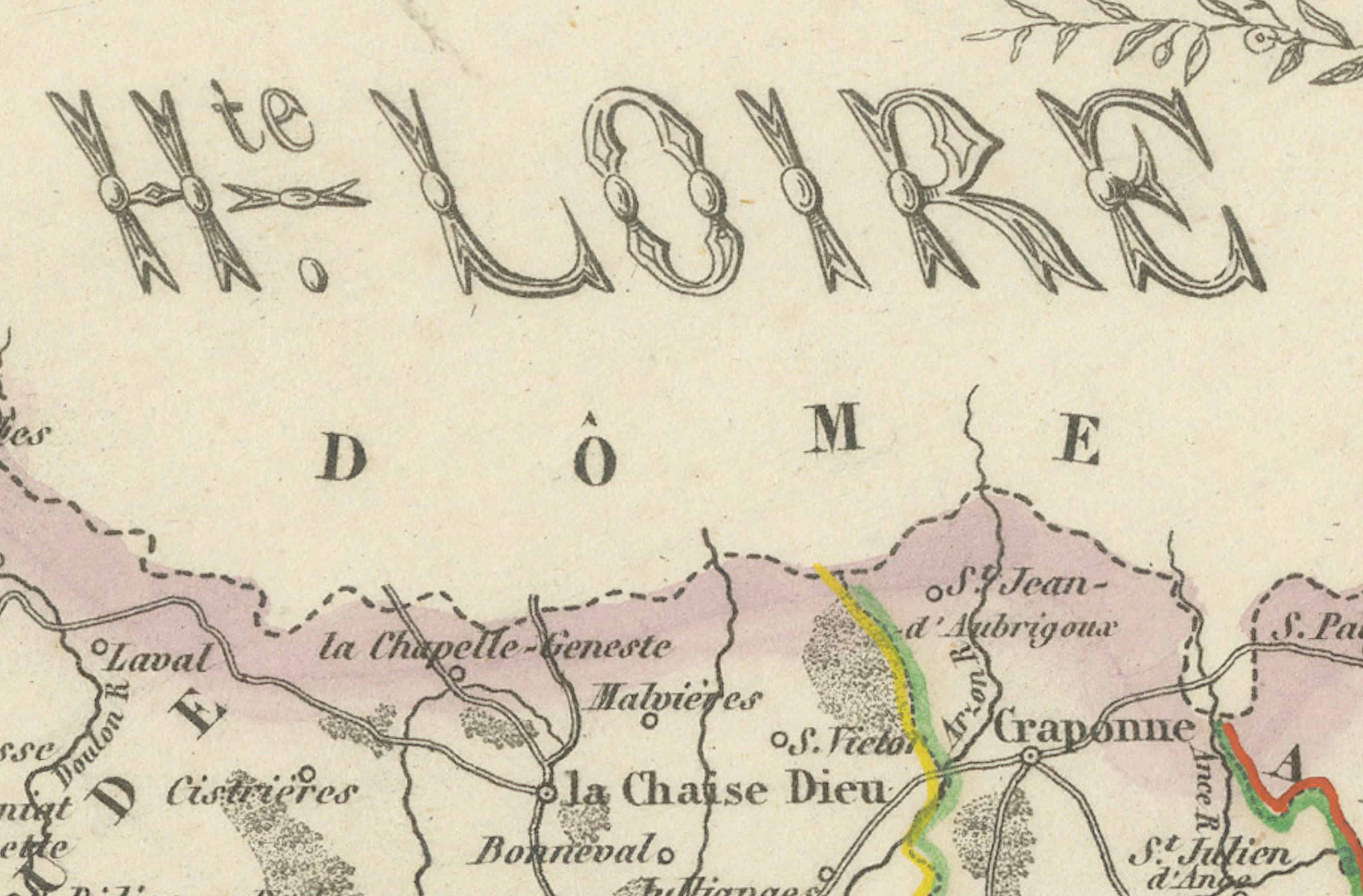
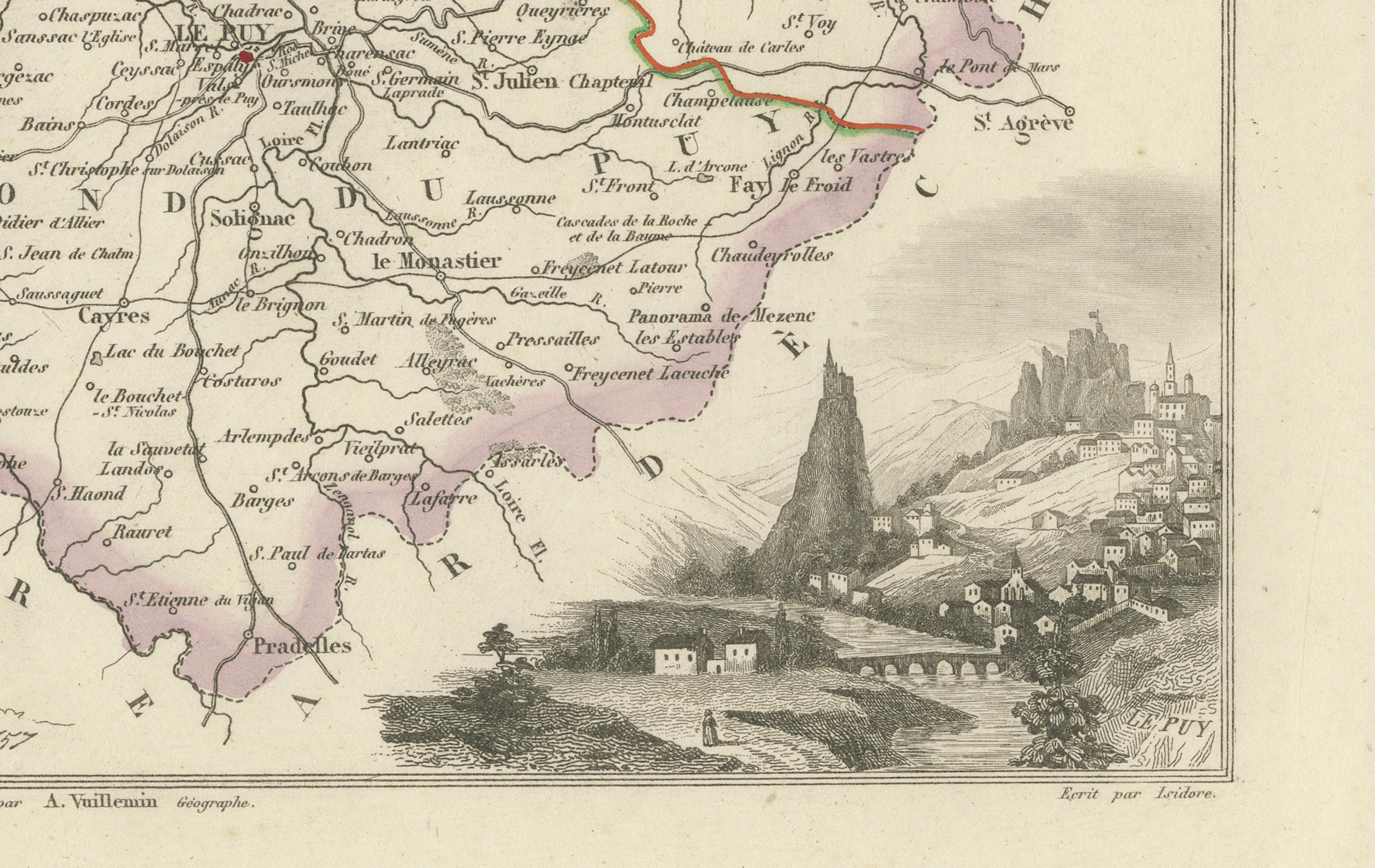
The department of Haute-Loire, located in the historical province of Auvergne, is shown in remarkable detail. Rivers, roads, towns, and departmental borders are clearly defined and delicately hand-colored in soft lilac tones. At the heart of the map is Le Puy-en-Velay, the department's prefecture, a historic pilgrimage center and departure point on the Camino de Santiago.
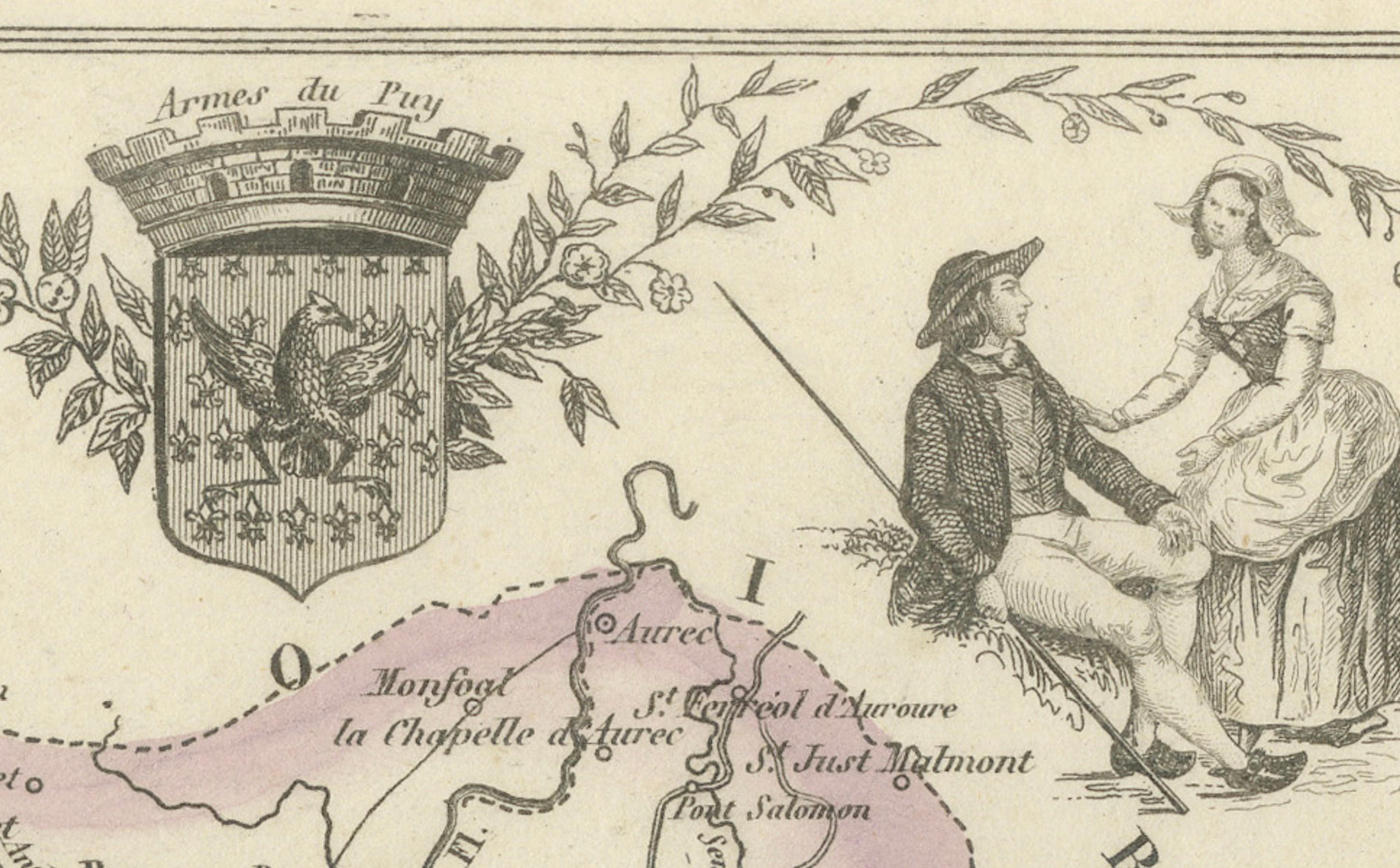
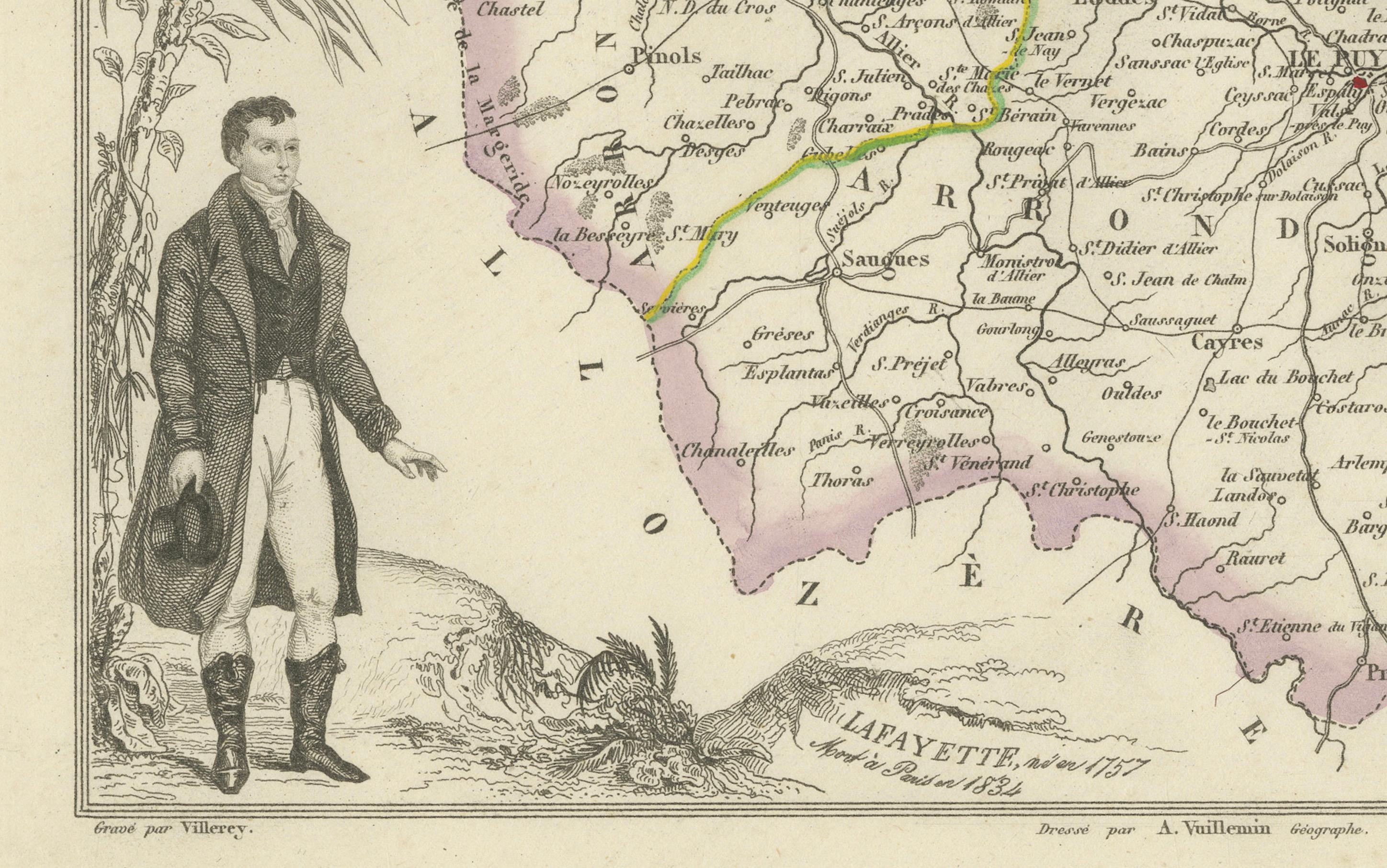
Surrounding the map are artistic embellishments that reflect the region’s agricultural and pastoral character. On the lower right, a finely engraved vignette depicts Le Puy with its dramatic volcanic peaks, including the iconic Rocher Saint-Michel and cathedral rising above the town. To the left, a farmer stands beside harvested grain and a sickle, representing the rural population and traditional attire of the time. A smaller oval illustration features a mule, a common mode of transportation through the region’s rugged terrain.
Haute-Loire is not widely known for large-scale wine production, but local viticulture includes small batches of rustic reds and whites, often consumed locally. Instead, the region is famed for its volcanic landscapes, Romanesque architecture, and artisanal heritage. It is a land of high plateaus, deep river valleys, and historic villages, with a strong tradition of cheese, lentil, and lace production.
Alexandre Vuillemin (1812–1880), the map’s creator, was a respected French cartographer known for combining decorative artistry with geographic accuracy. His maps in the *Nouvel Atlas Illustré* series are particularly admired for their regional vignettes, portraits, and symbolic imagery, designed to engage both the eye and the mind.
Condition summary:
Very good antique condition with slight toning and scattered foxing mainly in the margins. The engraving is crisp, and the hand-coloring remains vibrant and clean.
Framing tips:
This map pairs well with a rustic wood or black frame to reflect the mountainous character of the region. Use a warm cream or pale gray mat to highlight the engraved details. For long-term preservation, UV-filtering museum glass is recommended.
*Key Locations Featured on the Map of Haute-Loire:
This map includes a wealth of geographic information. Below are 50 notable towns, communes, and landmarks from the department:
1. Le Puy-en-Velay – Prefectural capital and pilgrimage center
2. Brioude – Subprefecture and Romanesque town
3. Yssingeaux – Subprefecture in the east
4. Monistrol-sur-Loire – Gateway town to the Loire
5. Langeac – Town on the Allier River
6. Tence – Plateau village with mountain views
7. Sainte-Sigolène – Growing town in the east
8. Saugues – Traditional rural commune
9. Retournac – Along the Loire River
10. Bas-en-Basset – Western entrance to the Forez region
11. Craponne-sur-Arzon – On the border with Puy-de-Dôme
12. Saint-Paulien – Near the ancient capital of Velay
13. Blavozy – Near Le Puy
14. Vorey – Where the Loire River bends
15. Chadrac – Suburban to Le Puy-en-Velay
16. Rosières – Forested area southeast of Le Puy
17. Aurec-sur-Loire – In the extreme northeast
18. Dunières – Bordering the Loire department
19. Saint-Didier-en-Velay – Historic textile town
20. Tence – In the Lignon valley
21. La Chaise-Dieu – Famous abbey and music festival
22. Allègre – Noted for volcanic neck and fortress
23. Siaugues-Sainte-Marie – Rural and picturesque
24. Le Monastier-sur-Gazeille – On the route to Stevenson Trail
25. Landos – High plateau commune
26. Solignac-sur-Loire – Near the Loire valley
27. Chaspinhac – North of Le Puy
28. Aiguilhe – With its chapel on a volcanic needle
29. Saint-Julien-Chapteuil – Birthplace of poet Jules Vallès
30. Saint-Hostien – Midway between Le Puy and Yssingeaux
31. Espaly-Saint-Marcel – West of Le Puy, pilgrimage area
32. Arlempdes – One of the most beautiful villages in France
33. Brives-Charensac – On the banks of the Loire
34. Polignac – With medieval fortress ruins
35. Vals-près-le-Puy – Close to Le Puy’s cathedral
36. Le Bouchet-Saint-Nicolas – Starting point of Stevenson’s walk
37. Chavaniac-Lafayette – Birthplace of General Lafayette
38. Fay-sur-Lignon – In the Mézenc mountains
39. Les Estables – Highest commune in Haute-Loire
40. Saint-Front – Volcanic plateau near the Mézenc
41. Costaros – On the main road from Le Puy to Langogne
42. Laussonne – Mountain village east of Le Puy
43. Cayres – On the way to Bouchet Lake
44. Le Pertuis – Road junction in eastern mountains
45. Goudet – On the Loire and the Robert Louis Stevenson Trail
46. Pradelles – Walled town on southern edge
47. Le Brignon – Pastoral commune
48. Coubon – Suburban to Le Puy...