About this sheet
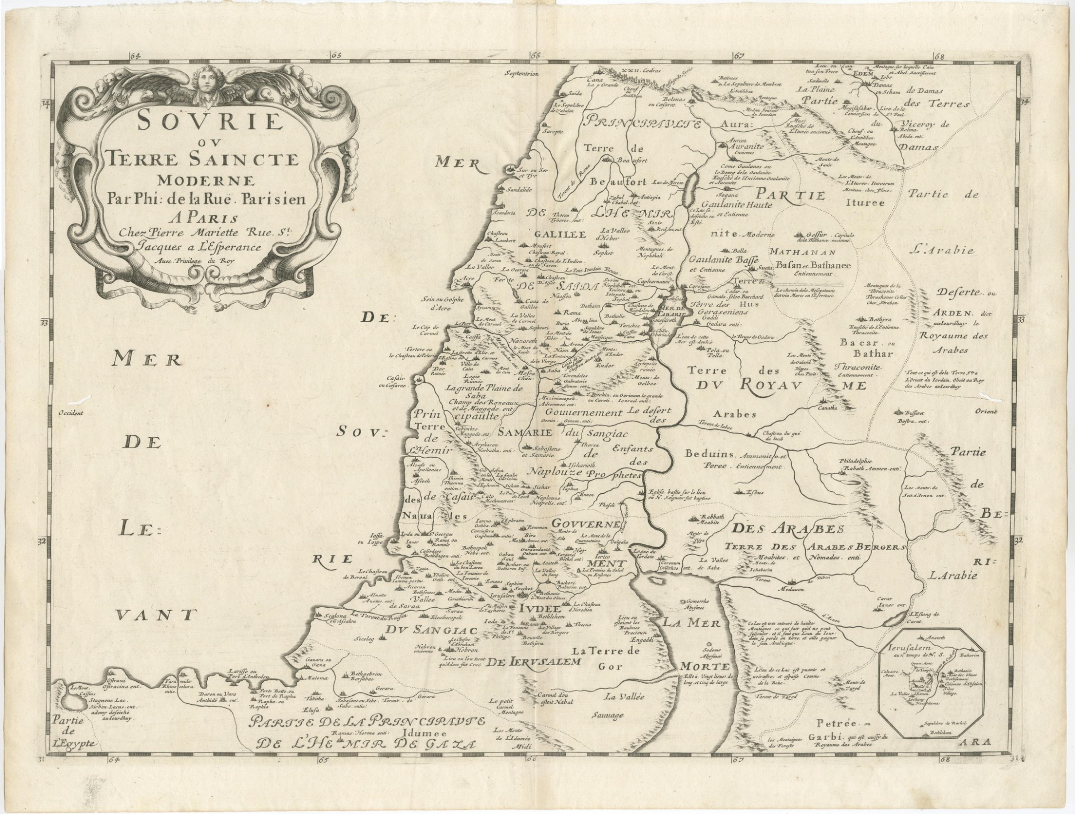
Holy Land Unframed Antique Map — Palestine, Syria, Levant Region, De la Rue Paris c1700
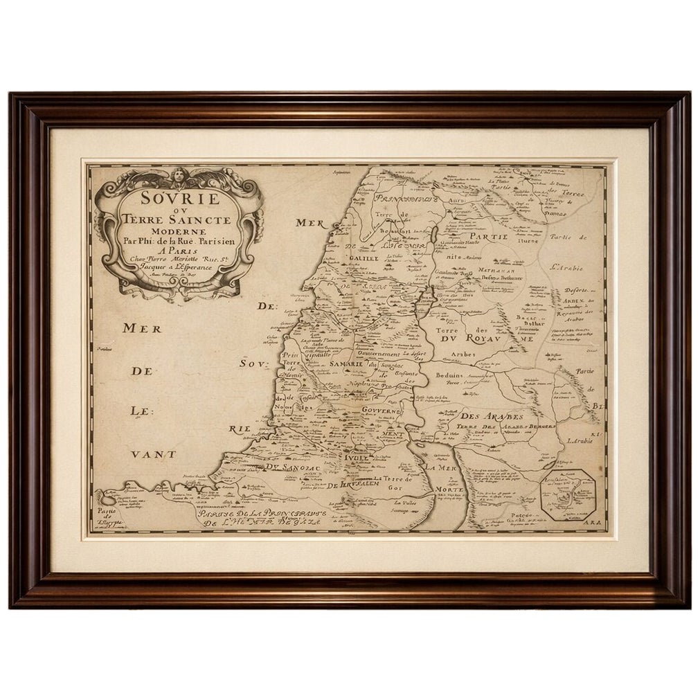
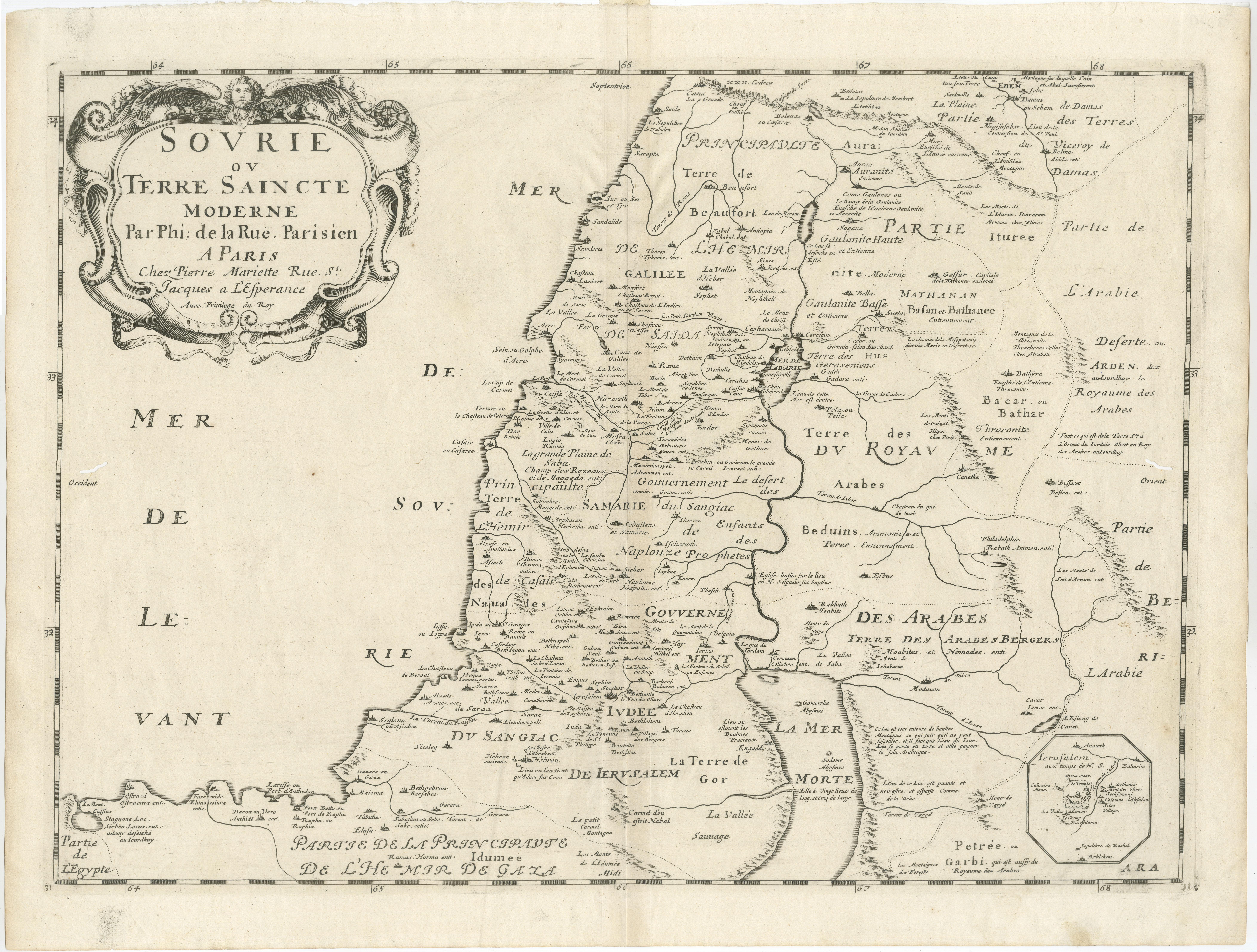
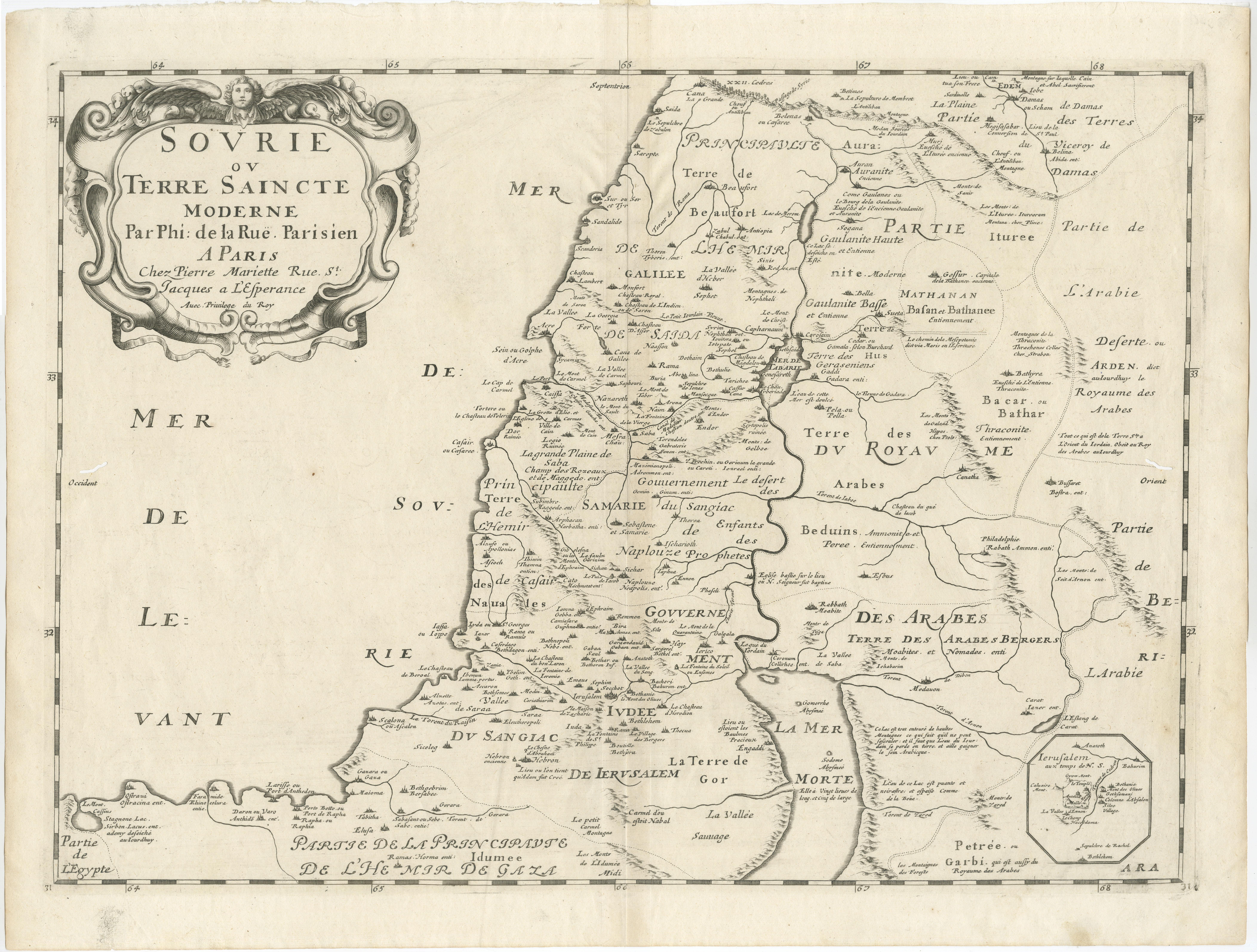
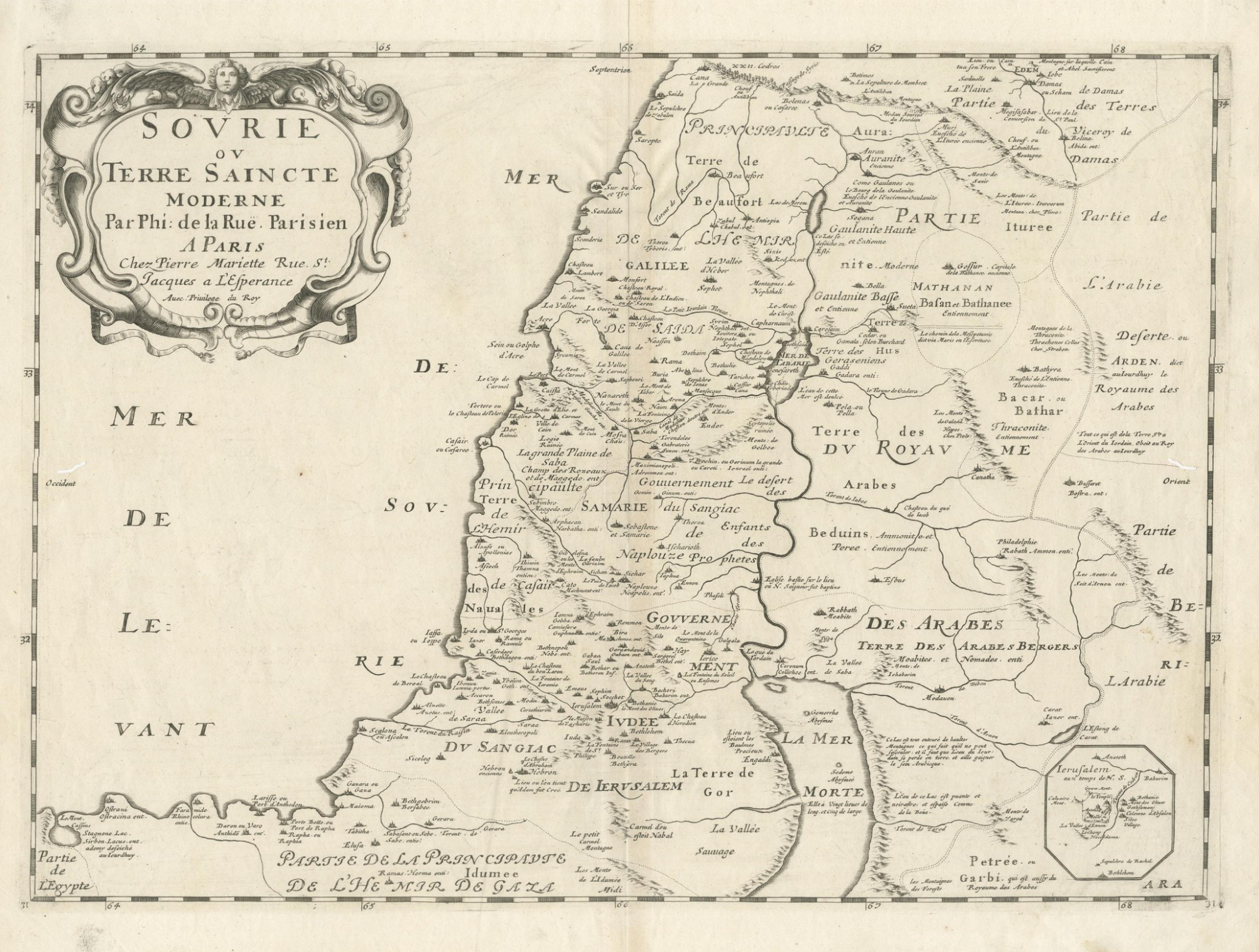
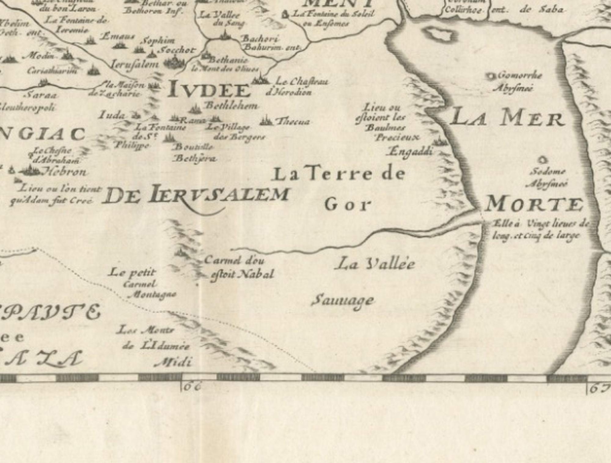
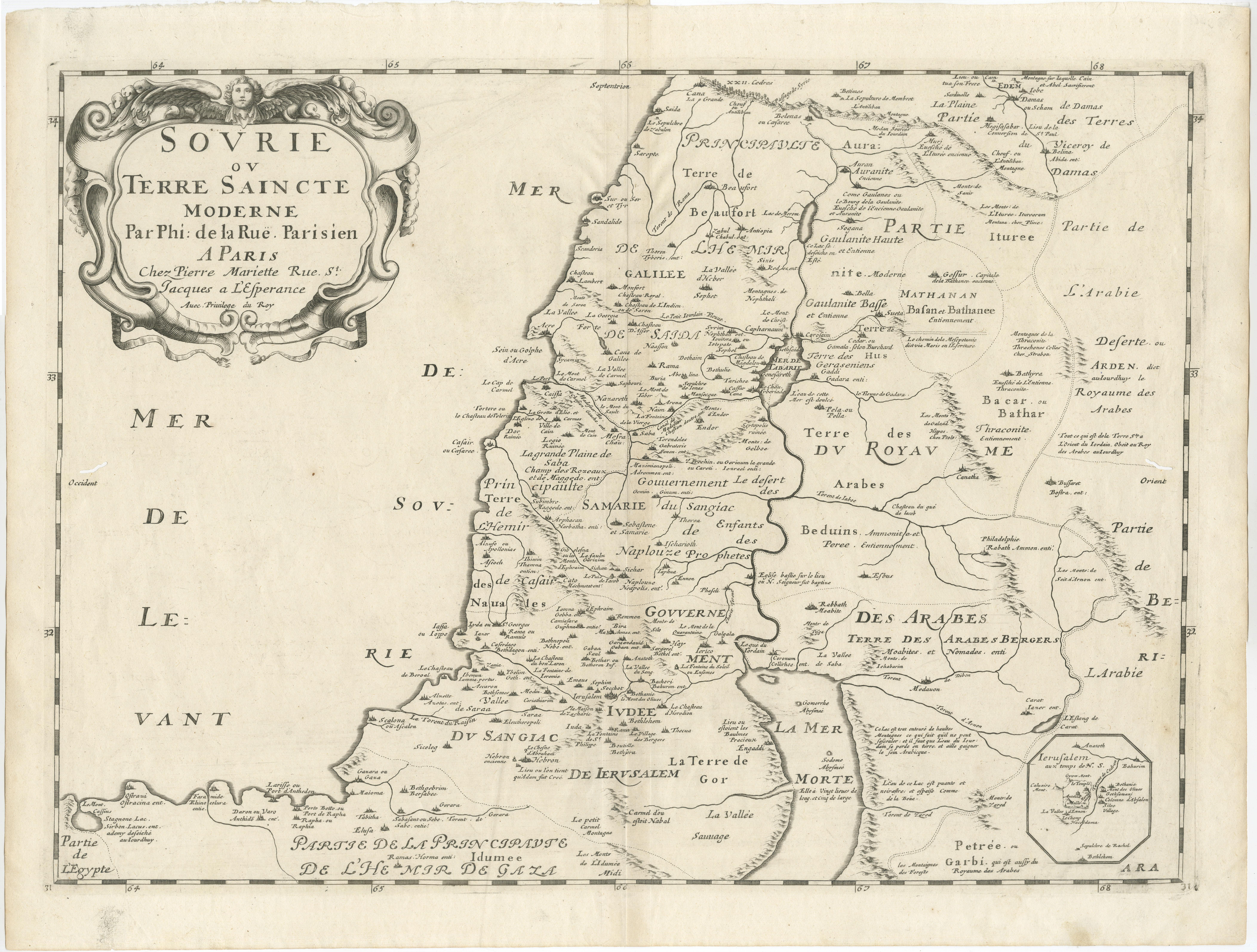
This finely engraved antique map titled “Sovrie ou Terre Saincte Moderne” presents the Holy Land and surrounding regions of the Levant with remarkable clarity and elegance, reflecting the refined cartographic traditions of early modern French mapmaking. Published in Paris by Philippe de la Rue, an important Parisian engraver and publisher, the map embodies the scholarly and devotional interest in biblical geography that defined European cartography during the late seventeenth and early eighteenth centuries.
The map is offered unframed, giving flexibility to select a frame that best suits the intended interior.
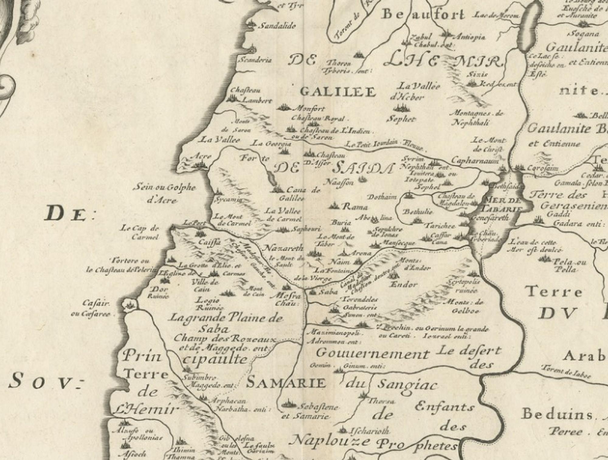
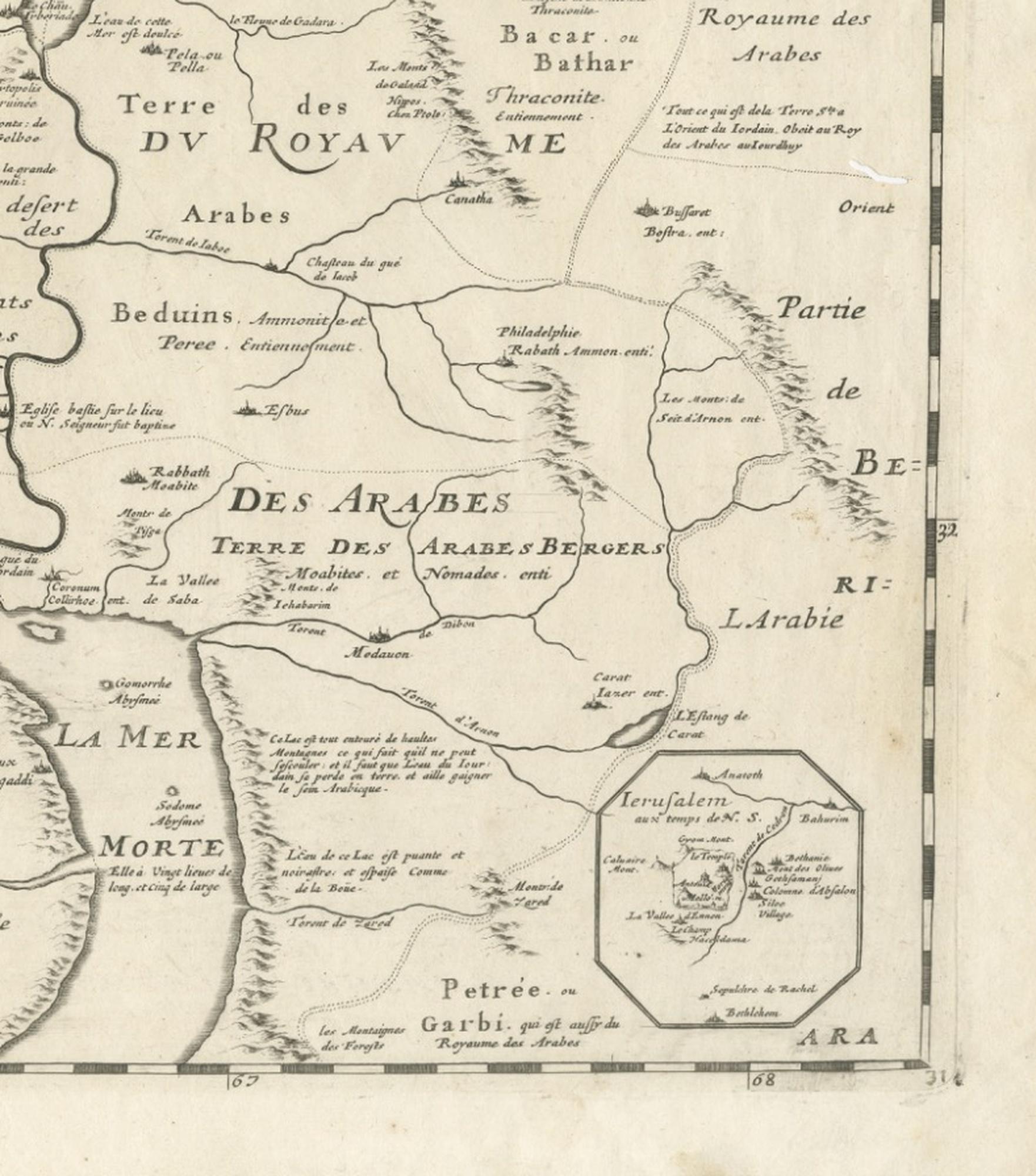
The composition focuses on Palestine, Judea, Samaria, and adjacent territories, extending across parts of Syria, Arabia, and Egypt, and incorporating both geographic and historical references rooted in biblical narratives. Cities, regions, and ancient provinces are carefully identified, creating a layered interpretation that blends contemporary geographic knowledge with scriptural history. Jerusalem and the surrounding sacred landscape occupy a central role, emphasizing the spiritual significance of the region for European audiences.
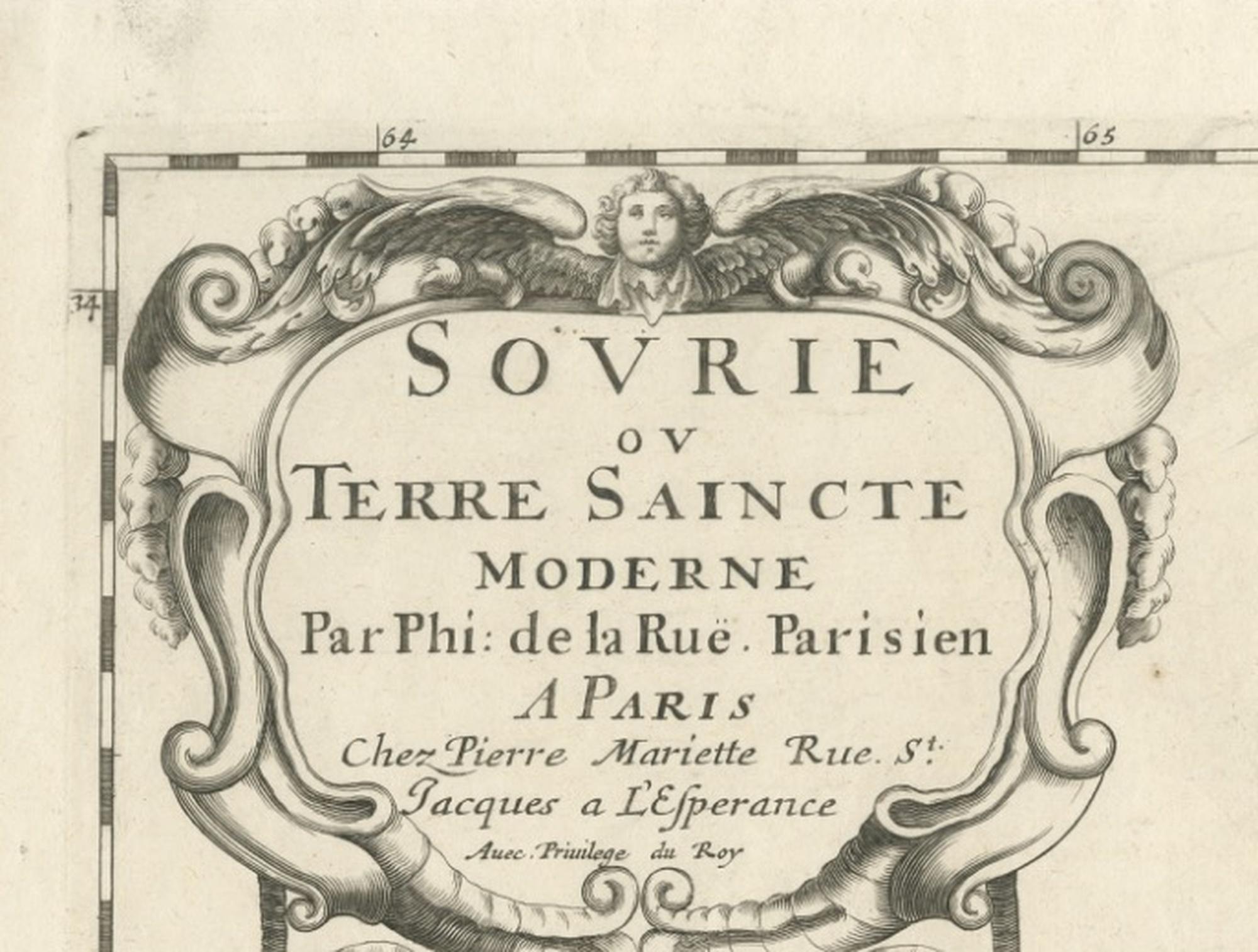
A beautifully engraved title cartouche at the upper left showcases the artistic refinement typical of Parisian engraving workshops, combining ornamental flourishes with restrained decorative elegance. The map reflects the transition toward more systematic geographic representation while maintaining the aesthetic sensibilities of earlier decorative cartography. Coastal outlines, internal boundaries, and topographical indications are rendered with fine linework, contributing to both legibility and visual balance.
Maps of the Holy Land held a special place in early modern European culture, serving scholars, clergy, collectors, and travelers interested in biblical history and pilgrimage. Today, examples such as this remain highly desirable for collectors of antique maps, religious history, and historical geography, as well as for interior designers seeking intellectually rich decorative works suitable for classic or contemporary settings.
The horizontal format enhances its display presence, making it especially suitable for framing as a focal piece within studies, libraries, or curated gallery walls.
Condition report: Fair. Light age toning and scattered foxing consistent with age. Two wormholes. Minor handling marks at margins. Visible plate mark present. Overall strong impression with clear engraving and good contrast.
Framing tips: Works beautifully with a dark walnut or ebonized frame combined with an ivory or warm off-white mat. A wide mat margin enhances the elegant cartouche and gives a museum-quality presentation suitable for refined interiors. We sell the map unframed.
Technique: Copperplate engraving
Maker: Philippe de la Rue, Paris, France, circa early 18th century
Keywords: Holy Land map, Palestine antique map, Terre Saincte, Syria antique map, Levant map, Jerusalem antique map, Judea Samaria map, biblical geography, Middle East antique map, French cartography, Paris engraver, Philippe de la Rue map, early modern map, religious cartography, biblical map engraving, antique Middle East map, historic Palestine map, Levantine geography, antique cartouche engraving, collectors antique maps, decorative antique map, library wall art, scholarly cartography, sacred geography, old world maps, antique Paris map publishing, Bauduin, Beduins