
Maps & PrintsBartele Gallery · Langweer
Home / Antique Maps / Europe / Western Europe / France

France

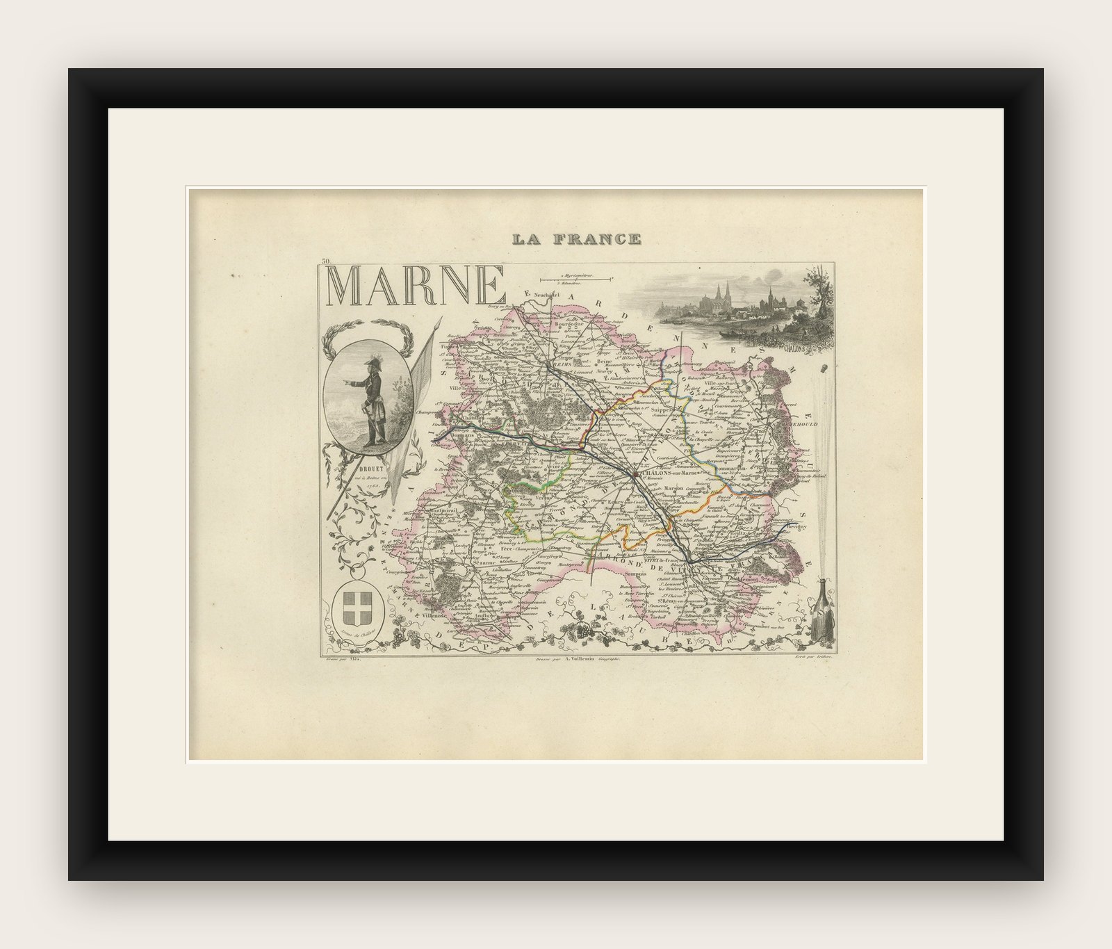
Antique Map of Marne, France – Engraved by Levasseur, 1850s

€ 220

Original antique · The actual sheet photographed · Certificate of authenticity on request · Sold unframed · Worldwide shipping from € 15 (rates)

Mapmaker / artist
Victor Levasseur, France, 1850s
Technique
Engraving, hand-colored
Sheet size
26.1 × 32.5 cm (10.3 × 12.8 in)
Condition
Good
Reference
BG-13331-50
What the condition grades mean
Excellent
Bright and clean, with no faults worth mentioning.
Very good
Only light signs of age, such as faint toning.
Good
Normal signs of age for a sheet of this period: toning, some foxing, small marks or neat old repairs.
Fair
Clear faults such as staining, tears or repairs, priced to match.

Every fault we see is written in the condition note, and the whole sheet is shown uncropped in the photos.

Condition

Excellent condition with original hand color. Clean impression with full margins. Very light age-toning and faint edge spotting typical for the period. No visible fold lines across the plate.
About this sheet

Antique Map of Marne, France – Engraved by Levasseur, 1850s

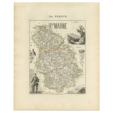
This beautifully detailed 19th-century engraved map of the Marne department in northeastern France was created by the renowned cartographer Victor Levasseur and printed by A. Vuillemin. It forms part of Levasseur’s celebrated atlas series “La France Illustrée”, widely admired for its harmonious blend of cartographic precision, cultural vignettes, and historical reference.

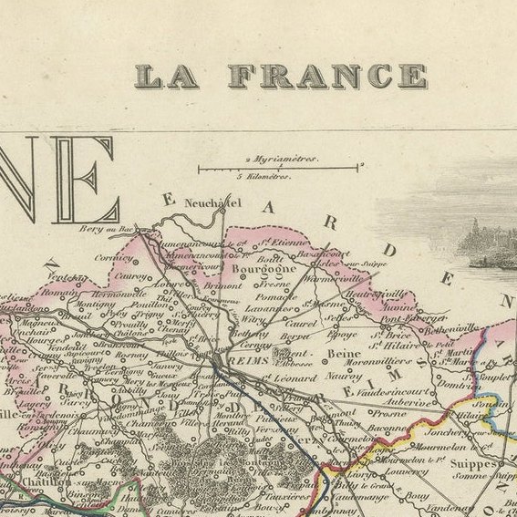
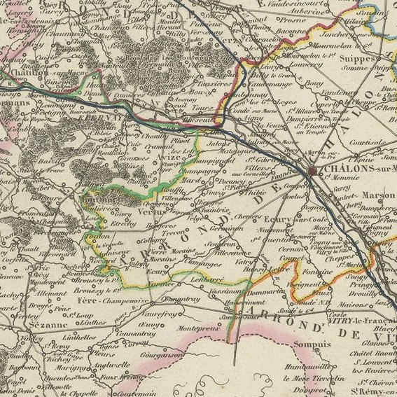
The map presents the department of Marne, bordered in soft pink and traversed by finely hand-colored roads, rivers, and administrative boundaries. It is framed with richly engraved scenes, including an illustration of the city of Châlons-sur-Marne, the figure of revolutionary postman Jean-Baptiste Drouet, and a provincial coat of arms. The backdrop also includes rural and architectural vignettes, adding depth to the cultural identity of the region.

Marne, with its capital Châlons-en-Champagne (formerly Châlons-sur-Marne), is famed for being one of the most historically and economically important areas in the Champagne region. Its fertile plains, crisscrossed by major waterways and trade routes, played a key role in France’s military and industrial history, particularly during the two World Wars.

This print is not only a valuable map but a visual chronicle of regional identity in 19th-century France.

Fifty Important Places and Why They Matter

Condition
Excellent condition with original hand color. Clean impression with full margins. Very light age-toning and faint edge spotting typical for the period. No visible fold lines across the plate.

Framing Tips
A classic champagne-colored mat paired with a deep mahogany or black wooden frame would elegantly highlight the map’s subtle coloring and historical engravings. A gold inner fillet would accentuate the vignette work.

More from France

Ask about this sheet

Antique Map of Marne, France – Engraved by Levasseur, 1850s
Ref. BG-13331-50 · € 220
We reply by email, usually within one working day.

Your favorites

Saved in this browser. Email the list to yourself to keep it on any device.

We use your email to send this list and, only if you tick the box and confirm, for occasional new arrivals. Every email has an unsubscribe link. Bartele Gallery, the Netherlands.