About this sheet
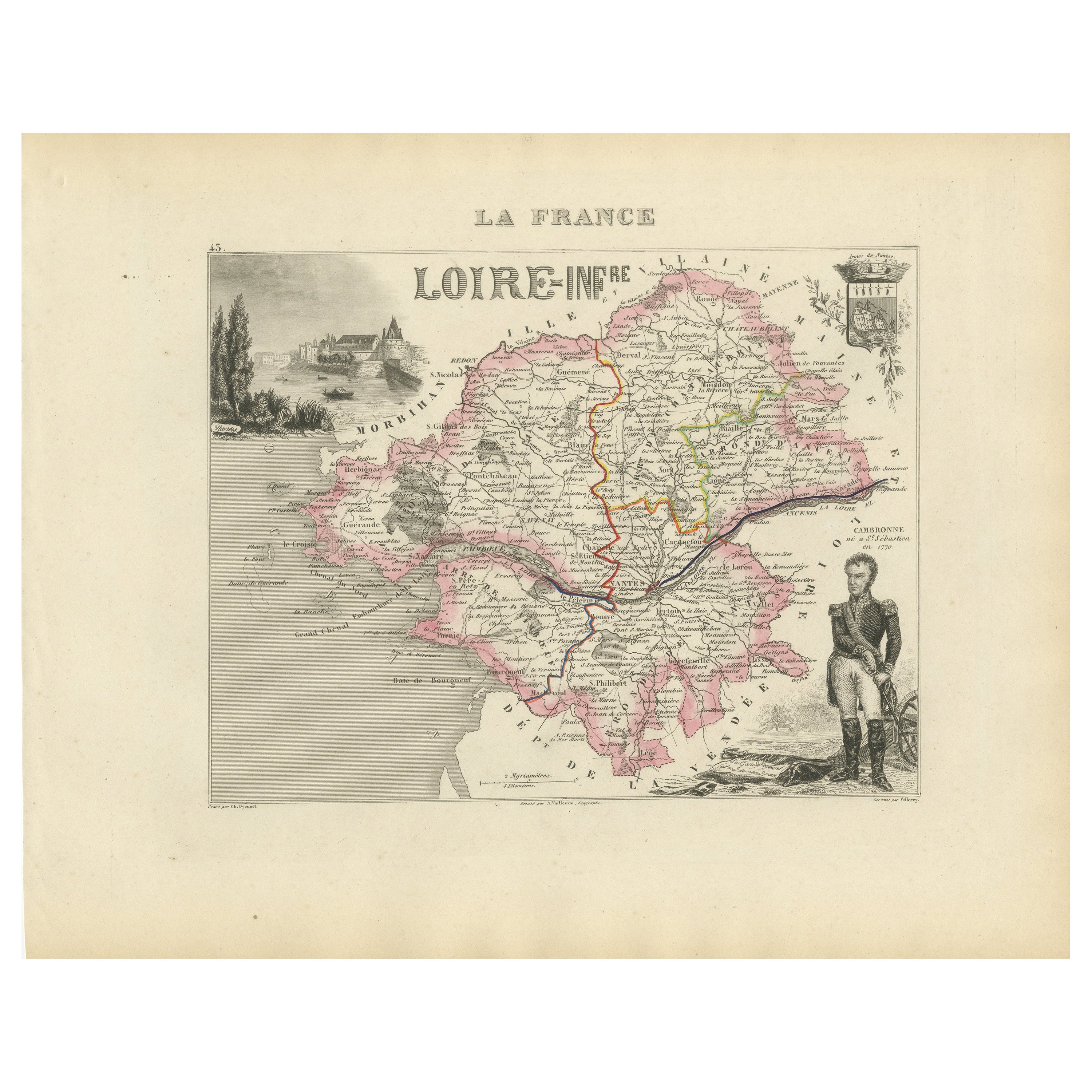
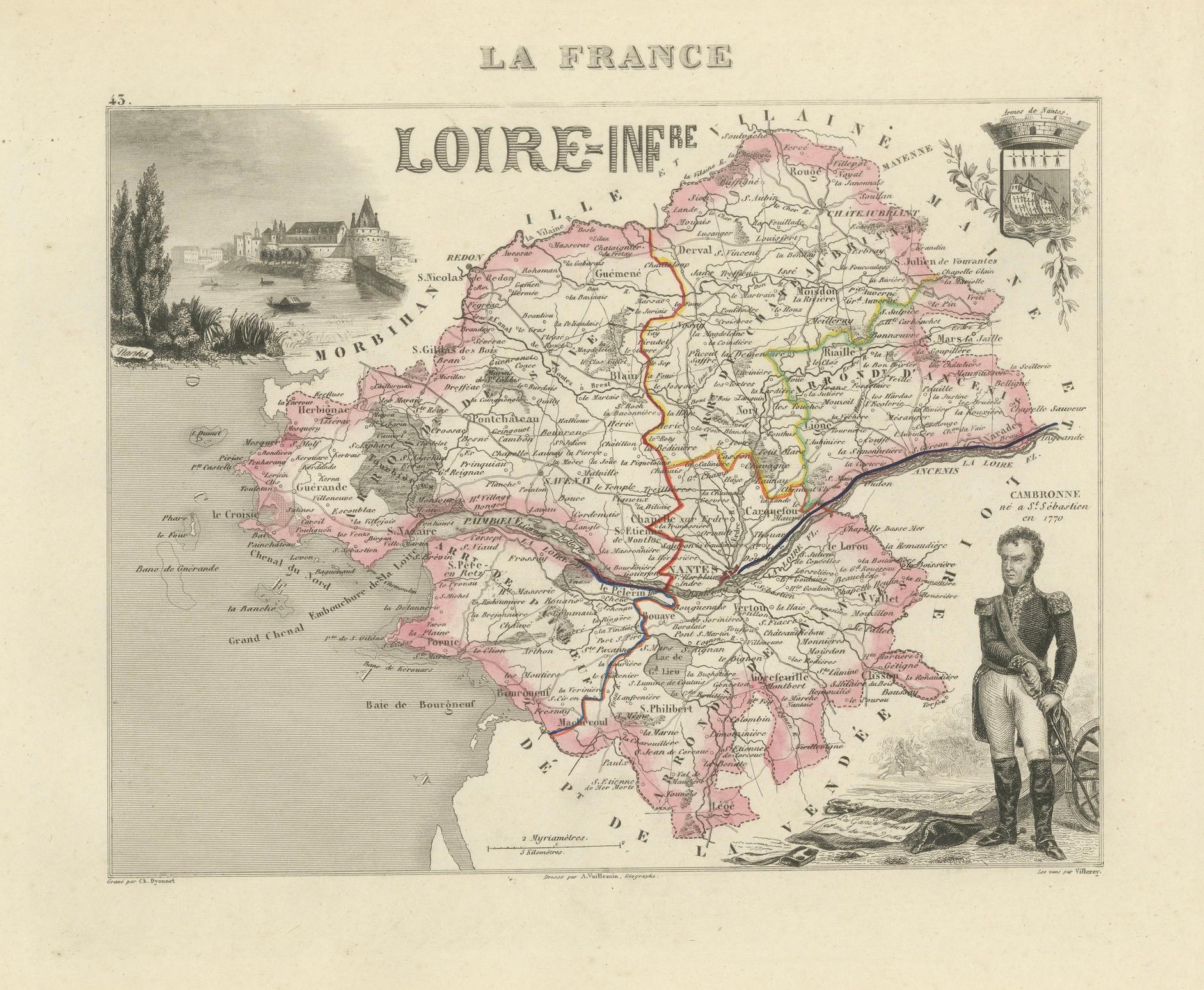
Map of Loire-Inférieure France with Nantes and Estuary by Vuillemin, 19th c
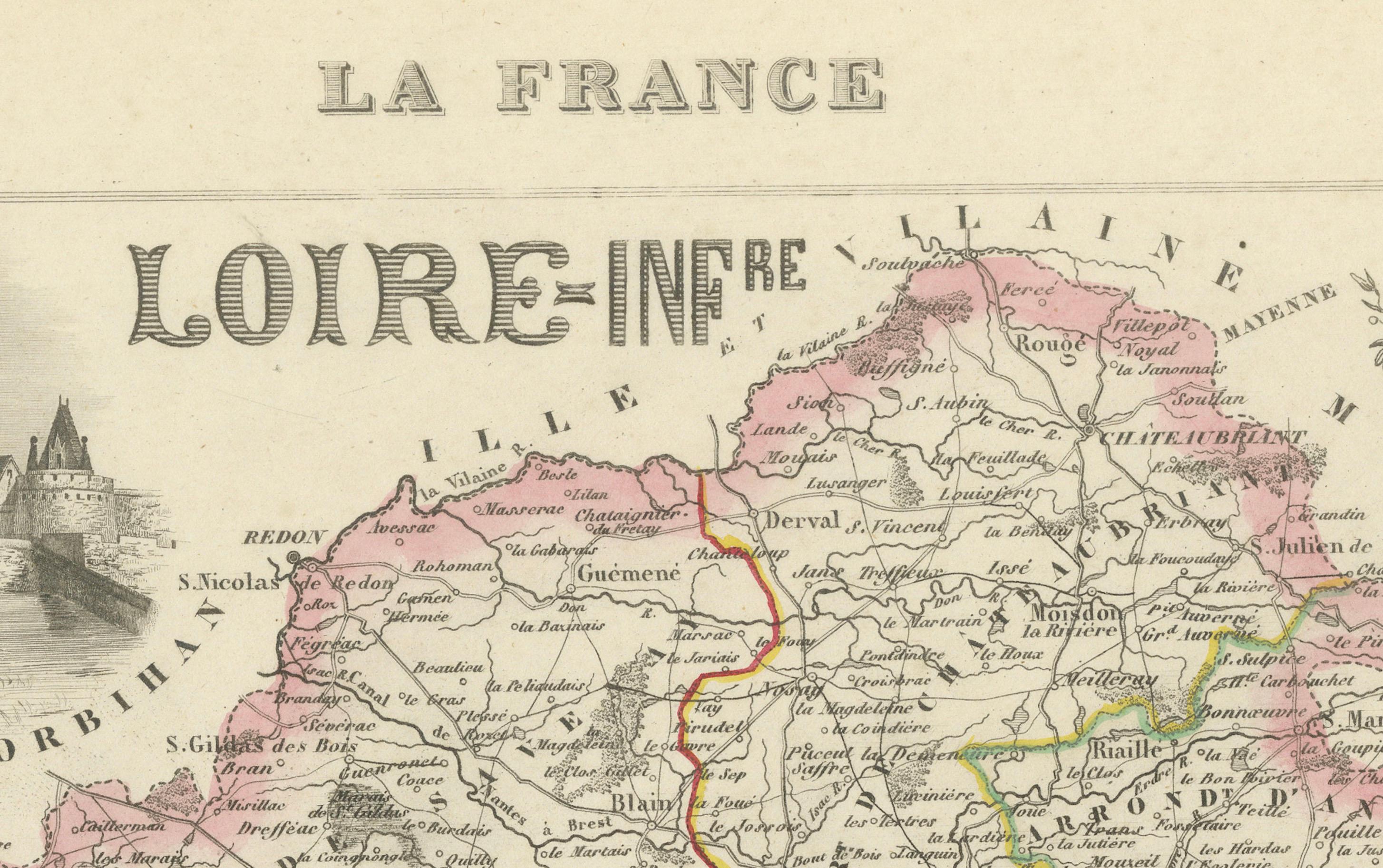
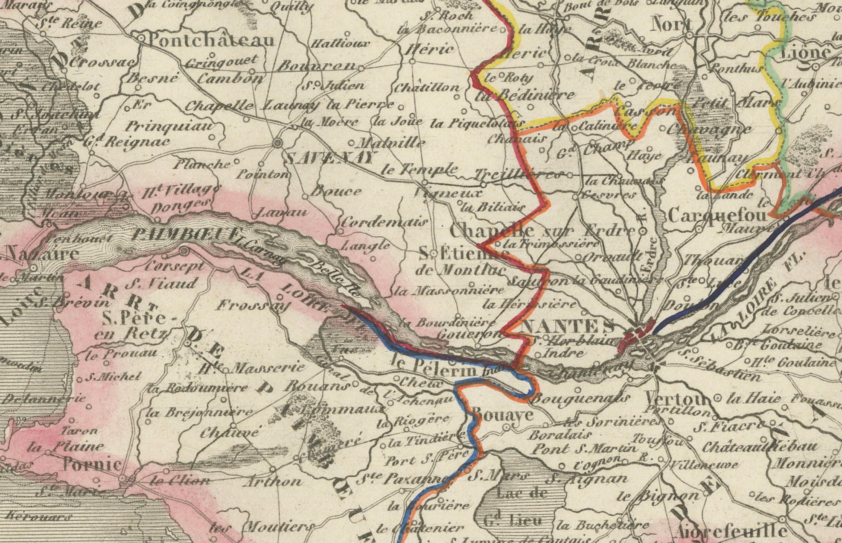
This finely engraved and hand-colored map of Loire-Inférieure (modern-day Loire-Atlantique) was created by Alexandre Vuillemin and published by Migeon in Paris as part of the Nouvel Atlas Illustré. Dating from the mid-19th century, this decorative map blends scientific geography with cultural and historical illustrations that reflect the region’s identity and importance in French history.
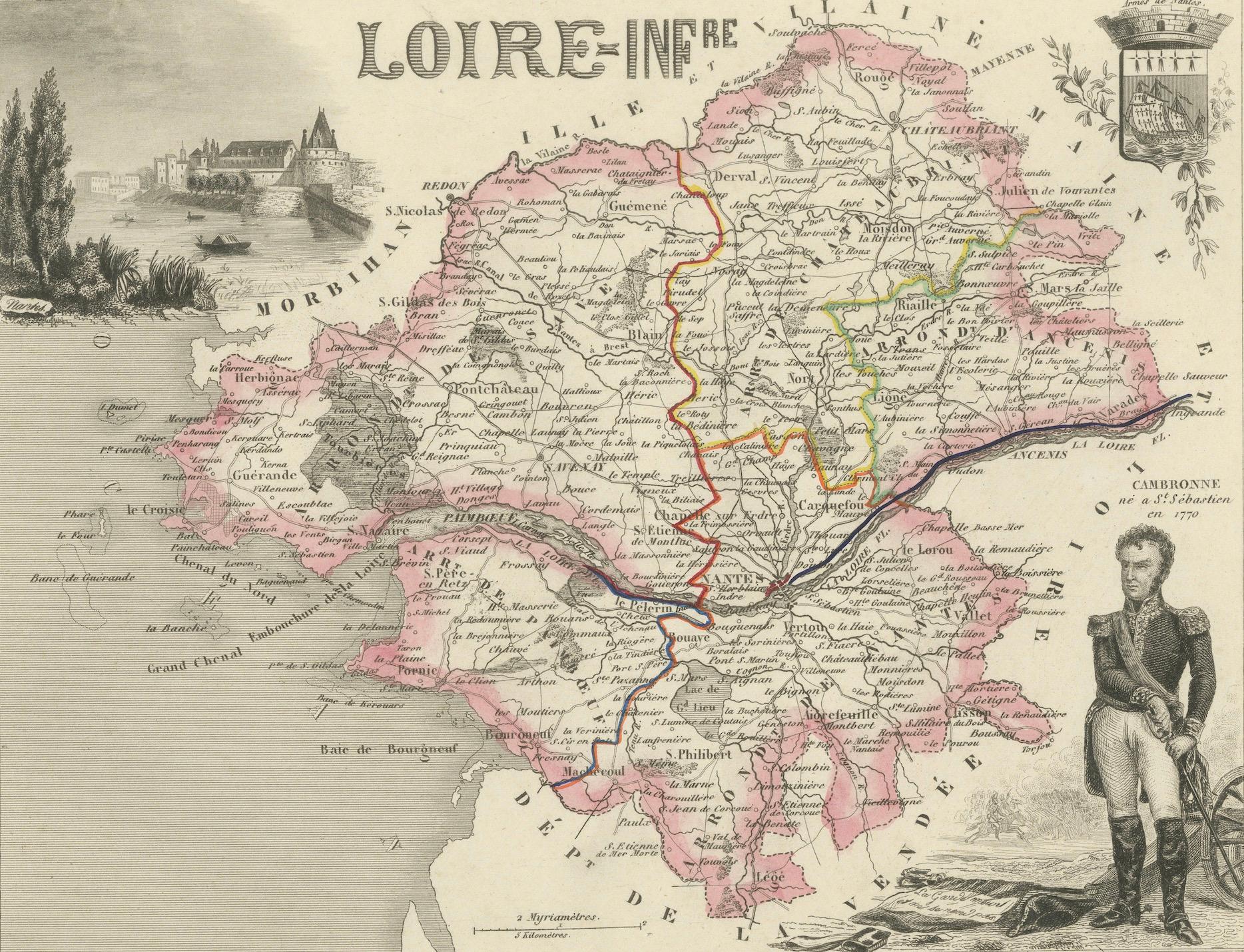
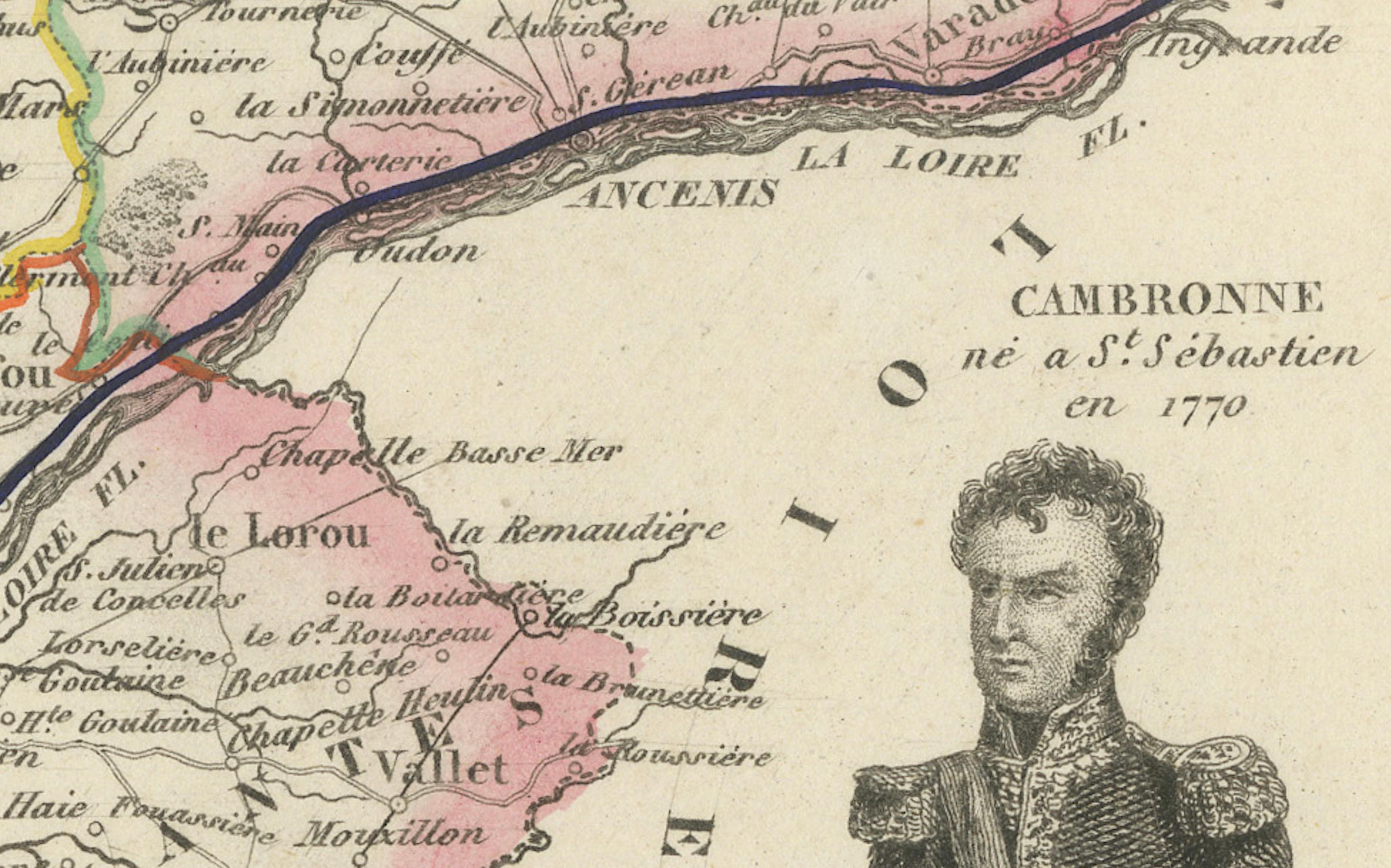
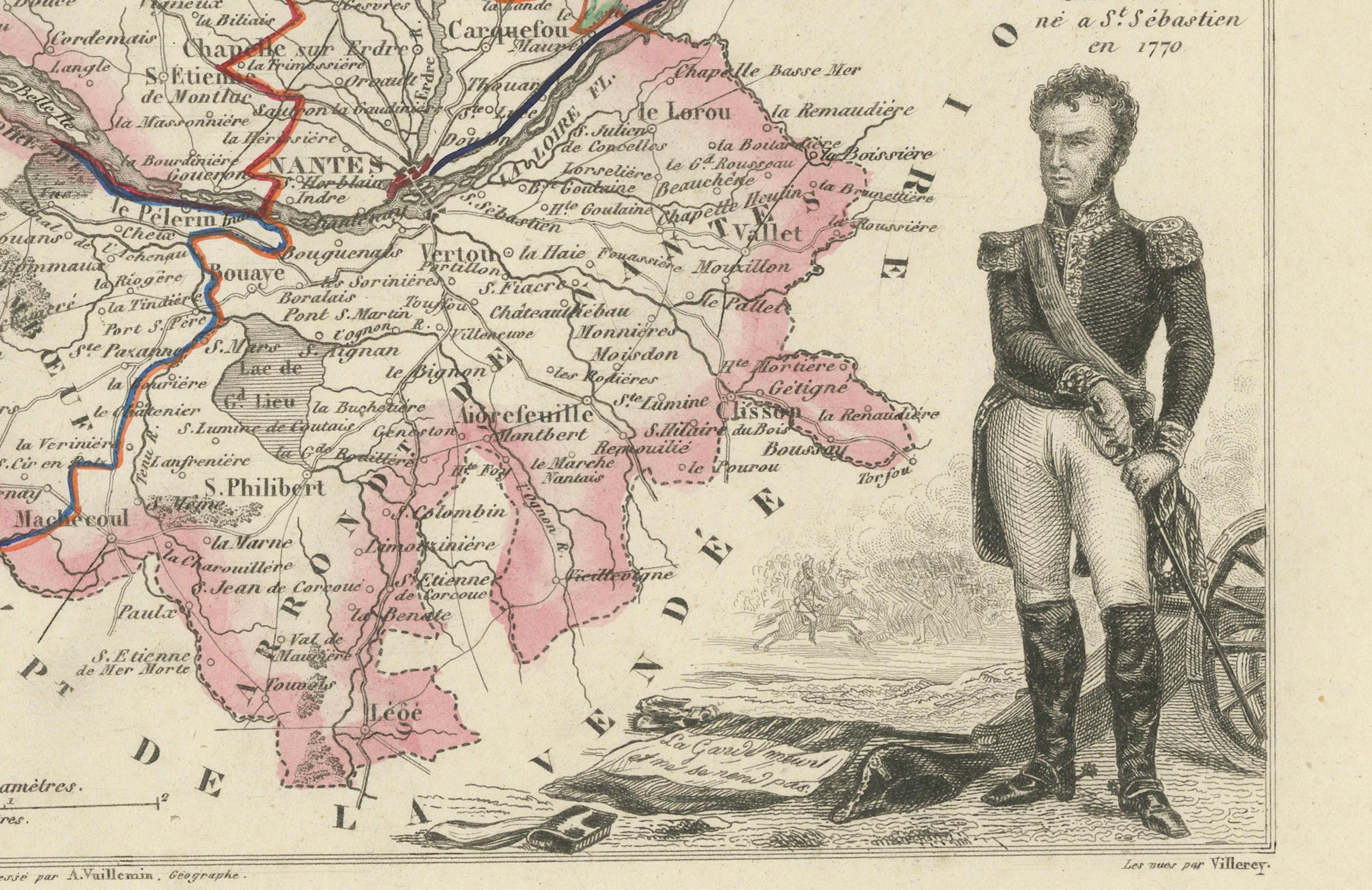
The department is carefully laid out with rivers, towns, roads, and coastlines, highlighted in soft pink wash for the boundaries. Nantes, the capital, sits at the heart of the map, marking the confluence of trade, culture, and river navigation. The Loire River estuary flows into the Atlantic, with coastal towns like Saint-Nazaire, Paimbœuf, and Le Croisic clearly marked. The Atlantic coast, salt marshes, and river islands are finely rendered, showing the close relationship between land and water.
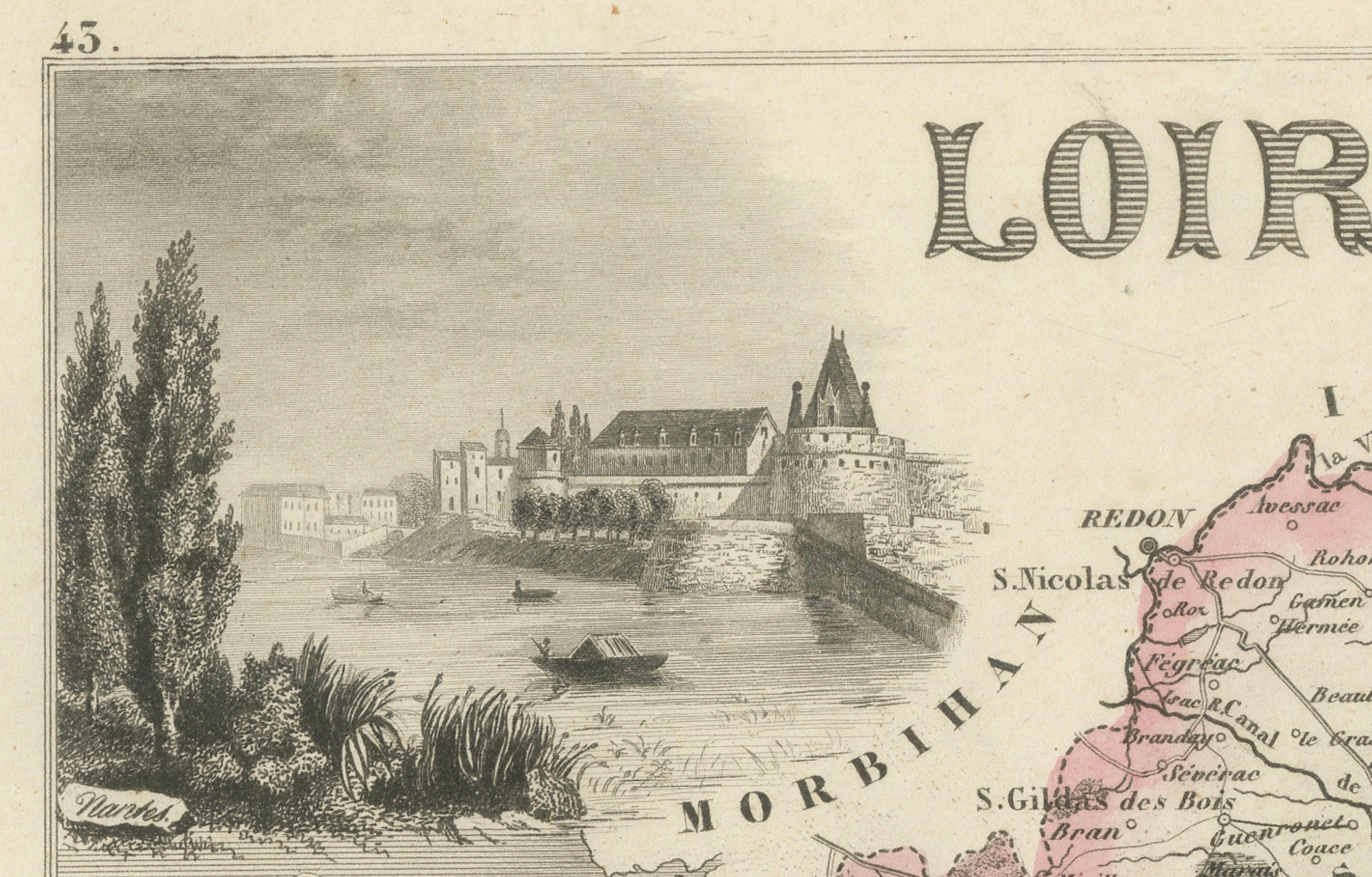
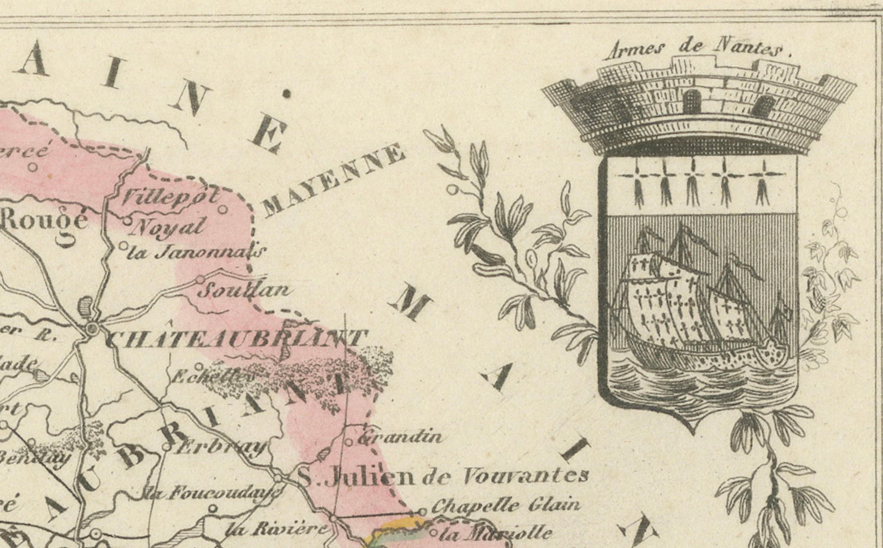
To the left is a vignette of Nantes, depicted as a bustling port city along the Loire, with its famous castle and riverside quay. On the lower right, a portrait of General Cambronne, born in Nantes and a hero of Napoleon’s army, is shown in uniform, leaning beside a cannon. The coat of arms of the department and a decorative title complete the visual composition.
Loire-Inférieure was a crucial area in France’s naval, colonial, and commercial past. Nantes was once France’s largest port and a hub for Atlantic trade, including shipbuilding and wine export. The region also played a key role in maritime navigation and the salt trade. Today, Loire-Atlantique is known for its Muscadet wines, produced near the lower Loire from the Melon de Bourgogne grape. These crisp white wines are famous for pairing with oysters and seafood and remain a defining feature of the region’s viticulture.
Alexandre Vuillemin (1812–1880) was one of France’s leading 19th-century cartographers, celebrated for integrating historical portraiture and symbolic embellishment into his geographic works. His collaboration with the publisher Migeon resulted in highly collectible atlas prints that merged education with elegance.
Condition summary:
Very good condition. Mild age toning and minor foxing mostly confined to the margins. Plate imprint and hand-coloring remain sharp and vibrant.
Framing tips:
Ideal in a black, dark oak, or marine-themed frame. A neutral ivory or pale blue mat will complement the oceanic and riverine themes. UV-resistant glass is recommended to protect the delicate engraving and original color.
---
Notable Locations Featured on the Map of Loire-Inférieure:
1. Nantes – Departmental capital, port city on the Loire
2. Saint-Nazaire – Key Atlantic port
3. Paimbœuf – Historic estuary town
4. Le Croisic – Fishing port and coastal commune
5. Pornic – Coastal town with salt marshes
6. Savenay – Strategic rail junction
7. Châteaubriant – Northern fortified town
8. Ancenis – Loire river crossing
9. Clisson – Known for its Italianate architecture
10. Blain – Market town with medieval château
11. Guérande – Famous for its medieval walls and sea salt
12. La Baule – Now a seaside resort (then emerging)
13. Batz-sur-Mer – Coastal salt-producing village
14. Saint-Brevin – At the mouth of the Loire
15. Pontchâteau – Inland market town
16. Machecoul – Agricultural commune
17. Rezé – Suburban commune south of Nantes
18. Couëron – On the northern Loire riverbank
19. Donges – Now known for oil refineries, then a river town
20. Saint-Mars-la-Jaille – Northeastern rural commune
21. Varades – Loire-side town near departmental border
22. Nort-sur-Erdre – On the Erdre River
23. Carquefou – Residential commune near Nantes
24. La Chapelle-sur-Erdre – Northern suburb
25. Orvault – Urbanizing area near Nantes
26. Saint-Herblain – Western suburb of Nantes
27. Indre – Near Couëron on the Loire
28. Vertou – Wine-growing commune
29. Vallet – Heart of the Muscadet wine region
30. Le Loroux-Bottereau – Viticultural village
31. Aigrefeuille-sur-Maine – Wine and farming area
32. Mouzillon – Known for Muscadet production
33. Bouaye – West of Nantes
34. Bouguenais – Industrial suburb
35. Sainte-Pazanne – Railway crossroad
36. Les Moutiers-en-Retz – Coastal commune
37. Saint-Philbert-de-Grand-Lieu – Near Grand-Lieu Lake
38. Geneston – South of Nantes
39. Legé – On the Vendée border
40. Saint-Lyphard – Entrance to the Brière wetlands
41. Missillac – Château and forested area
42. Besné – In the marshland
43. Trignac – Near Saint-Nazaire
44. La Montagne – South bank of the Loire
45. Saint-Joachim – In the heart of Brière
46. Saint-Malo-de-Guersac – Marsh village
47. Saint-Père-en-Retz – Southeast of Paimbœuf
48. Corcoué-sur-Logne – Rural commune
49. Rouans – Between Nantes and the coast
50. Vue – Small commune west of Nantes