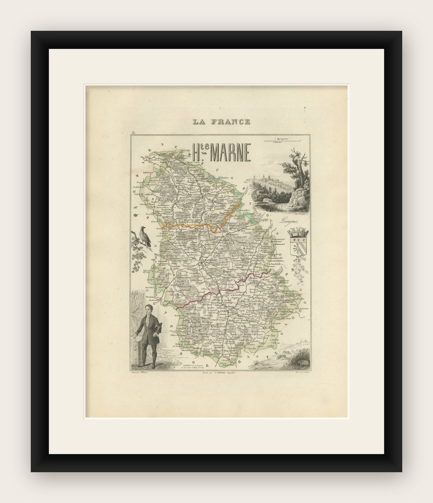
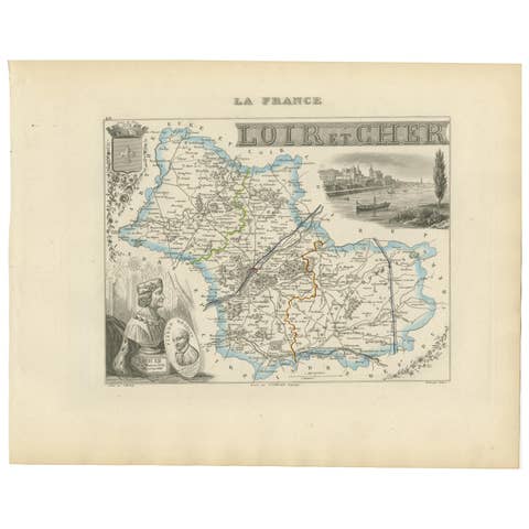
Antique Map of Haute-Marne France by Vuillemin with Decorative Insets, 1850s
€ 220
Original antique · The actual sheet photographed · Certificate of authenticity on request · Sold unframed · Worldwide shipping from € 15 (rates)
Mapmaker / artist
Alexandre Vuillemin, Paris, circa 1840s
Technique
Engraving with original hand coloring
Sheet size
32.5 × 26.1 cm (12.8 × 10.3 in)
Condition
Good
Reference
BG-13331-51
What the condition grades mean
Excellent
Bright and clean, with no faults worth mentioning.
Very good
Only light signs of age, such as faint toning.
Good
Normal signs of age for a sheet of this period: toning, some foxing, small marks or neat old repairs.
Fair
Clear faults such as staining, tears or repairs, priced to match.
Every fault we see is written in the condition note, and the whole sheet is shown uncropped in the photos.
Condition
Very good condition. Wide margins with some light age toning, mostly around edges. Clean central area with no tears or repairs. Slight foxing in the left margin, not affecting the image.
About this sheet
Antique Map of Haute-Marne France by Vuillemin with Decorative Insets, 1840s
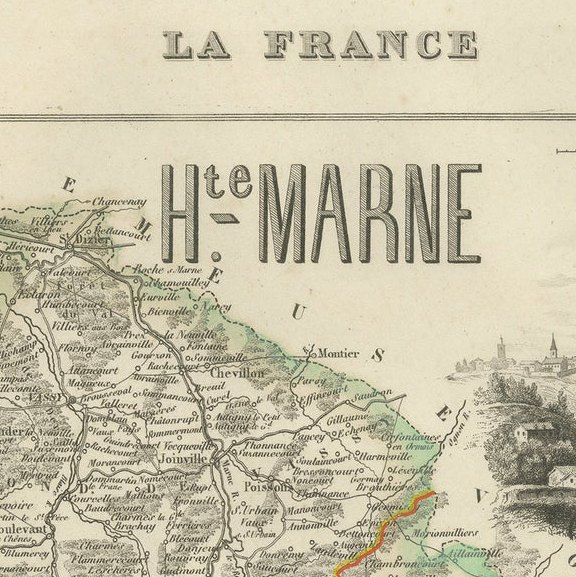
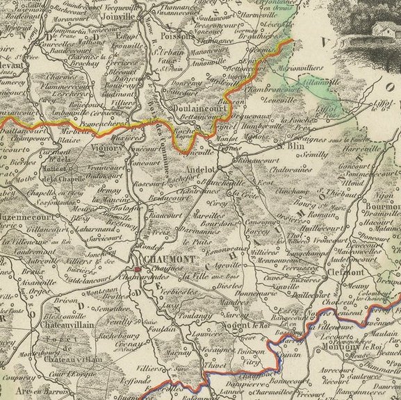
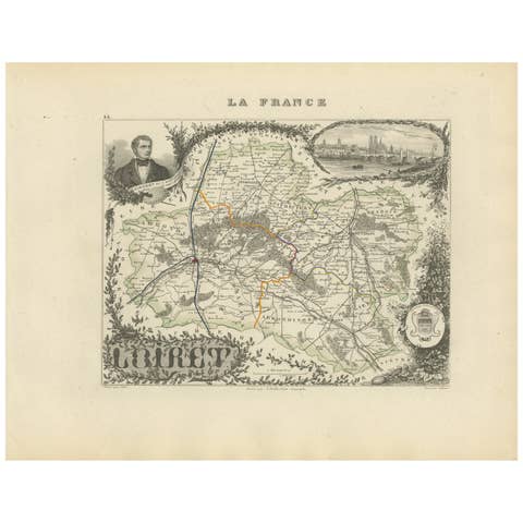
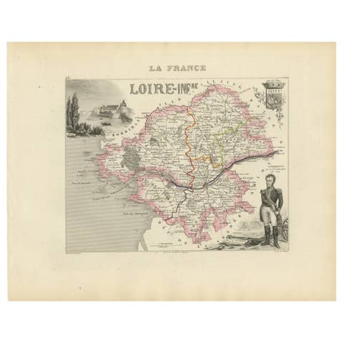
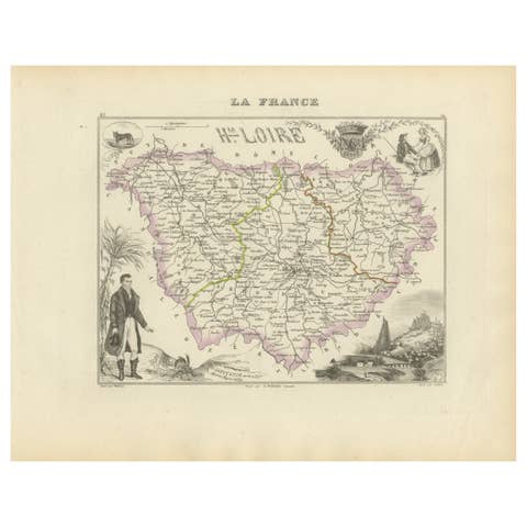
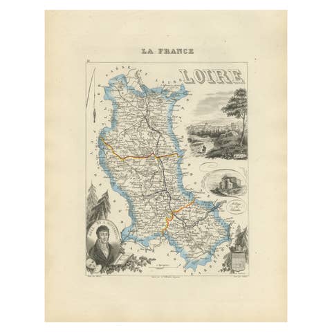
This finely engraved and hand-colored map of Haute-Marne, a historical department in northeastern France, was produced by Alexandre Vuillemin and lithographed by A. Vallée around the 1840s. Published as part of the renowned mid-19th century French atlas series La France, it combines geographical detail with artistic flourishes.
The map outlines departmental boundaries in color and is embellished with vignettes and scenes relevant to Haute-Marne. These include a portrait of Jean-Baptiste Drouet, the postmaster of Sainte-Menehould famous for recognizing and halting King Louis XVI during his failed flight to Varennes, and a charming city view of Langres, a historic fortified town. The lower left features an illustrated figure of a local citizen, adding a human touch to the cartography. The departmental coat of arms appears to the right, further emphasizing regional pride.
Notable towns and locations shown (with significance):
This map is not only informative but decorative, featuring crisp engraving and clear typography. The lightly applied hand coloring on borders and rivers accentuates its appeal without overwhelming the detail.
Condition report: Very good condition. Wide margins with some light age toning, mostly around edges. Clean central area with no tears or repairs. No visible folding line, suggesting it was never bound. Slight foxing in the left margin, not affecting the image. Plate mark clearly visible.
Framing tips: This map would benefit from a soft ivory mat with a narrow olive or sage green inner border to echo the light hand coloring. A thin walnut or antiqued gold wooden frame would provide a classic finish suitable for both traditional and modern interiors.