
Maps & PrintsBartele Gallery · Langweer
Home / Antique Maps / Europe / Western Europe / France

France

Antique Hand-Colored Map of Lozère, France – Alexandre Vuillemin, 19th Century

€ 220

Original antique · The actual sheet photographed · Certificate of authenticity on request · Sold unframed · Worldwide shipping from € 15 (rates)

Mapmaker / artist
A. Vuillemin (map), Levasseur (engraver), France, c. 1840s–1850s
Technique
Engraving with original hand coloring
Sheet size
32.5 × 26.1 cm (12.8 × 10.3 in)
Condition
Good
Reference
BG-13331-47
What the condition grades mean
Excellent
Bright and clean, with no faults worth mentioning.
Very good
Only light signs of age, such as faint toning.
Good
Normal signs of age for a sheet of this period: toning, some foxing, small marks or neat old repairs.
Fair
Clear faults such as staining, tears or repairs, priced to match.

Every fault we see is written in the condition note, and the whole sheet is shown uncropped in the photos.

Condition

Very good condition with wide margins. Minor age-related toning to the paper edges. Visible plate mark. No tears or repairs. Crisp original outline hand-coloring.
About this sheet

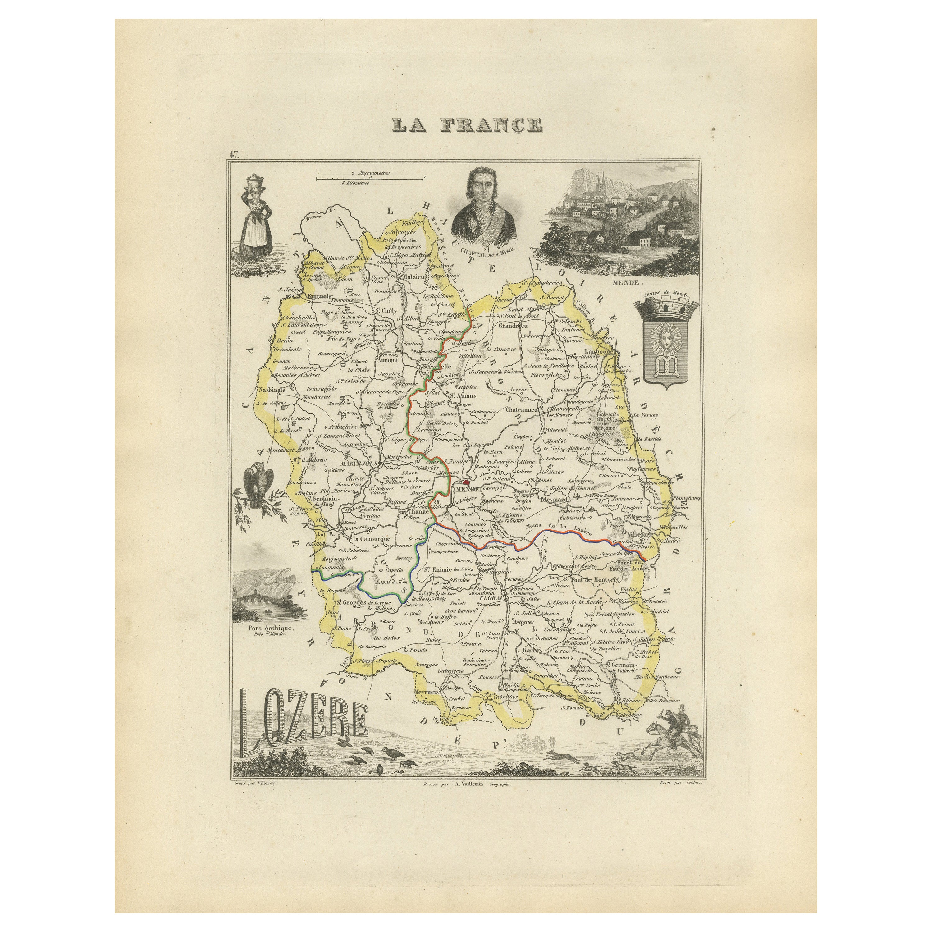
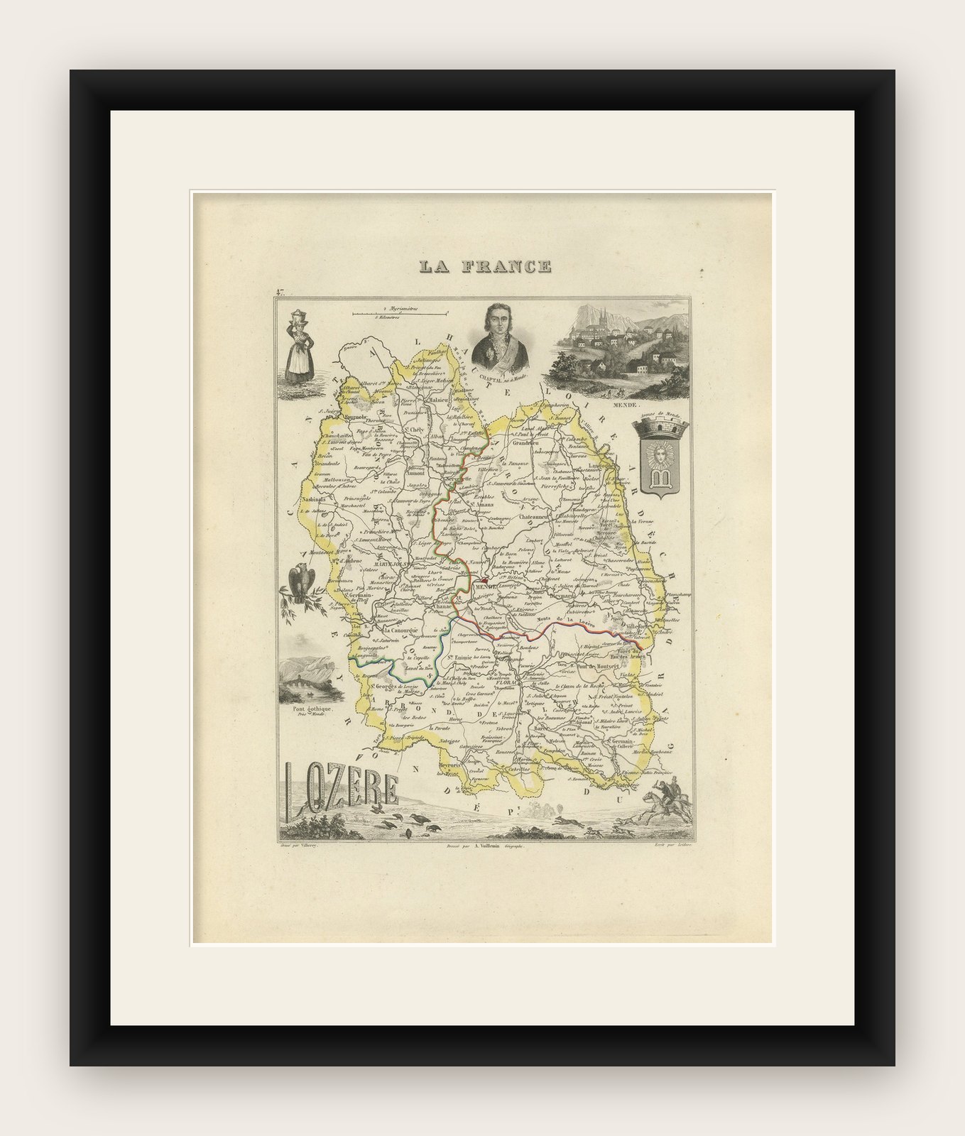
Antique Map of Lozère, France – Vuillemin & Levasseur, Mid-19th Century

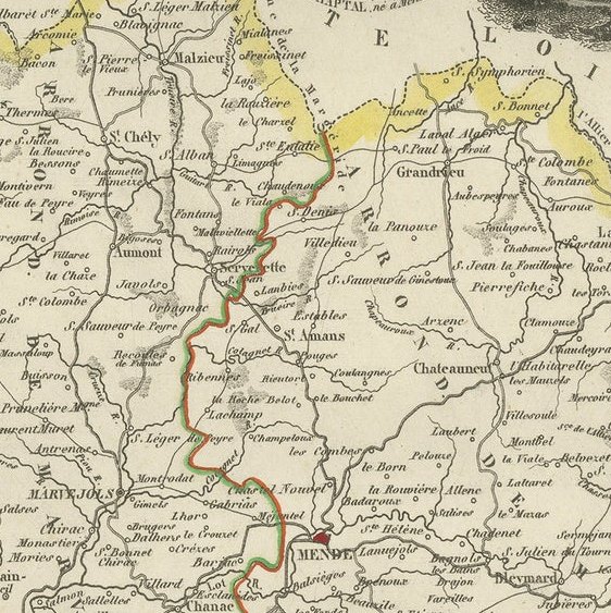
This finely detailed map of the department of Lozère in southern France was created by Alexandre Vuillemin and engraved by Levasseur, as part of the mid-19th century series La France. It presents a rich and decorative composition, combining geographic precision with artistic flourishes.

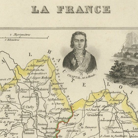
The map outlines the department in yellow, showing its rivers, towns, villages, and road networks, with elevations subtly rendered to reflect the mountainous terrain of the Cévennes. The vignette scenes add cultural depth: a rural figure in traditional attire, a portrait of Chaptal (chemist and statesman born in Saint-Pierre-de-Nogaret), the Pont Gothique, and pastoral scenery including sheep grazing.

The area is especially known for its natural beauty, chestnut forests, and historical isolation, making this map a valuable reference for collectors, historians, and Francophiles.

Fifty Notable Places on the Map of Lozère:

Condition Report:
Very good condition with wide margins. Minor age-related toning to the paper edges. Visible plate mark. No tears or repairs. Crisp original outline hand-coloring.

Framing Suggestions:
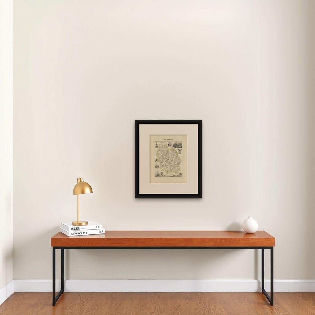
A frame in natural wood or gold with a double mat—ivory with a subtle ochre or mustard inner line—would highlight the rich topography and historical figures. Ideal for display in a study, hallway, or wine lounge.

More from France

Ask about this sheet

Antique Hand-Colored Map of Lozère, France – Alexandre Vuillemin, 19th Century
Ref. BG-13331-47 · € 220
We reply by email, usually within one working day.

Your favorites

Saved in this browser. Email the list to yourself to keep it on any device.

We use your email to send this list and, only if you tick the box and confirm, for occasional new arrivals. Every email has an unsubscribe link. Bartele Gallery, the Netherlands.