About this sheet
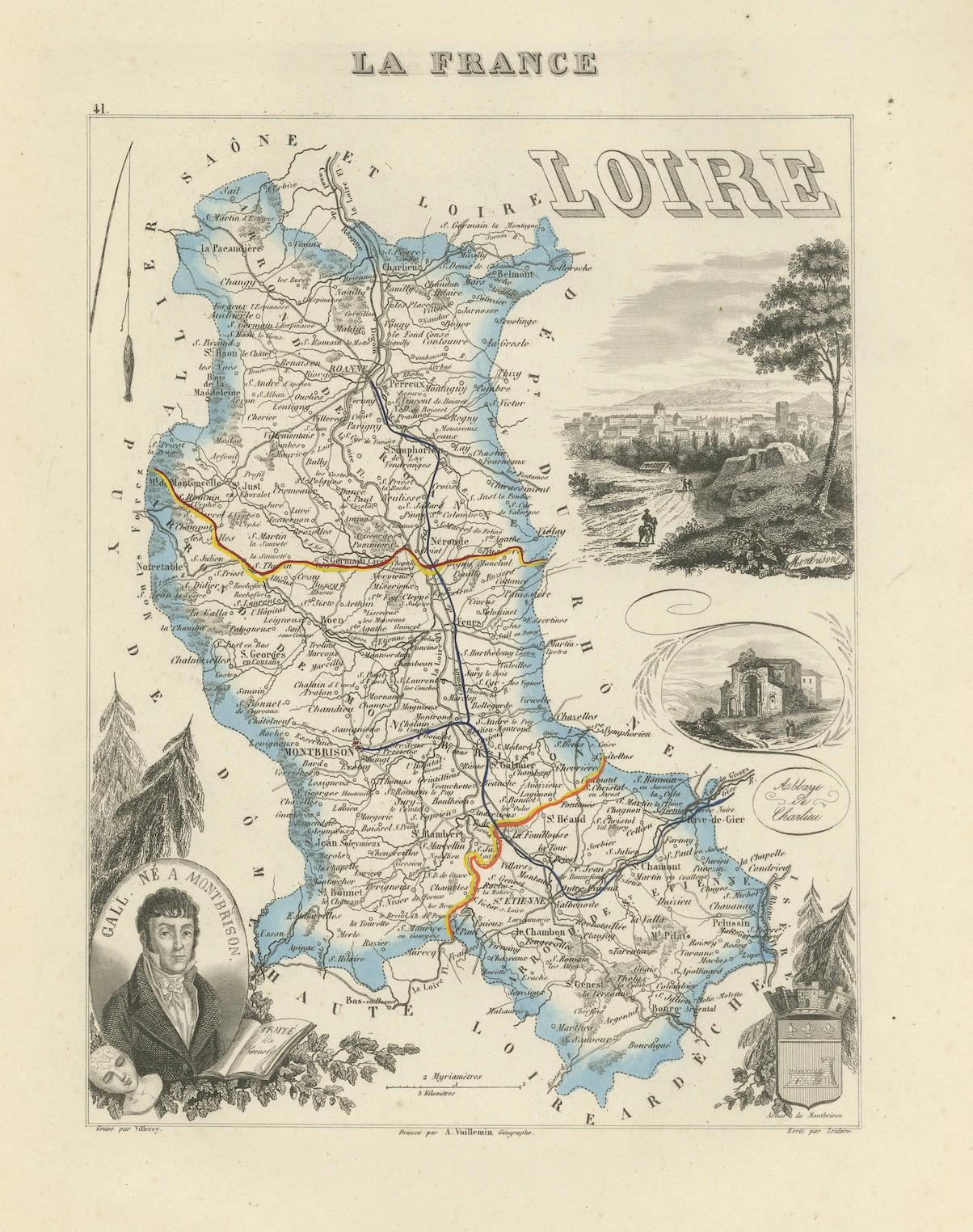
Map of Loire France with Saint-Étienne and Montbrison by Vuillemin, 19th c
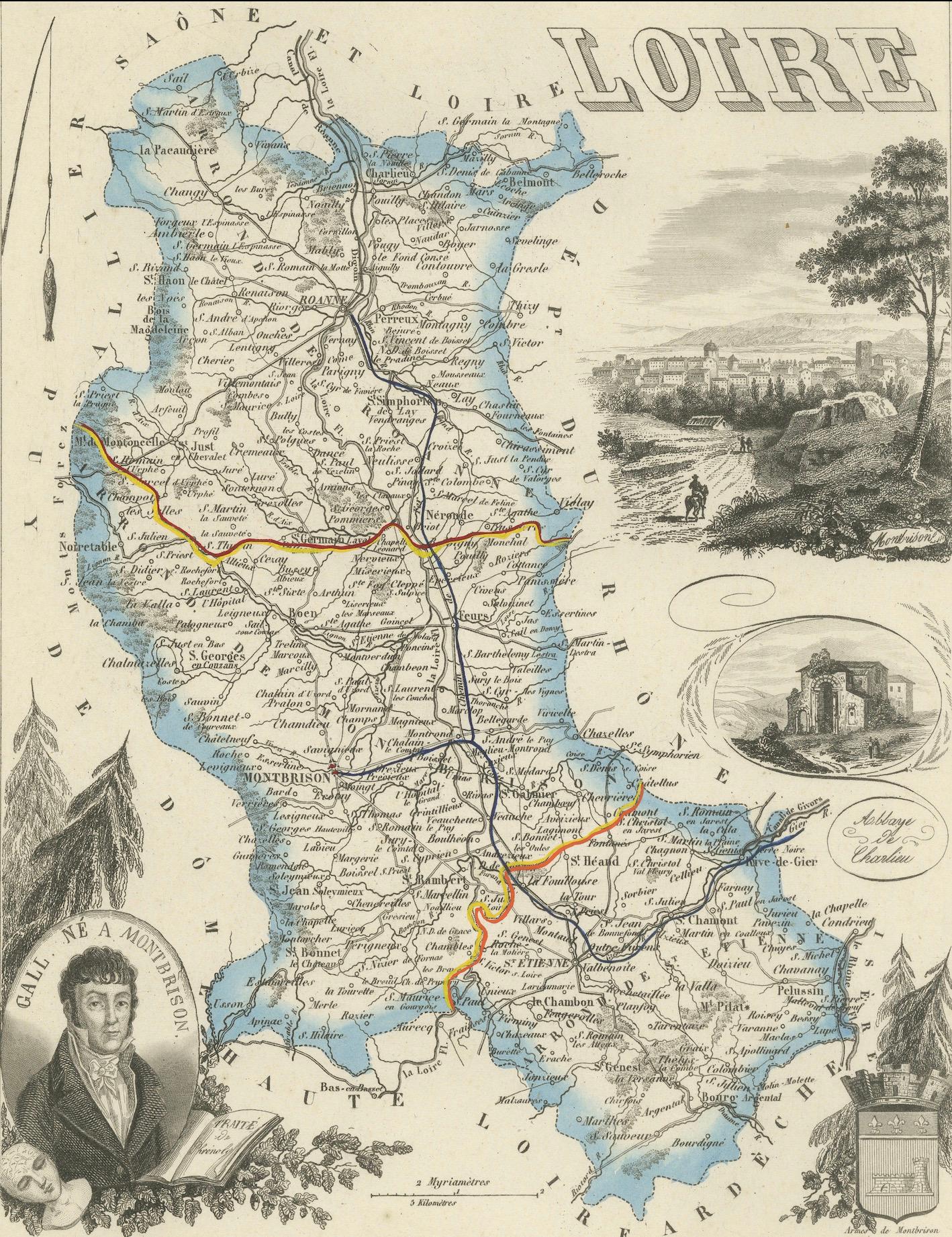
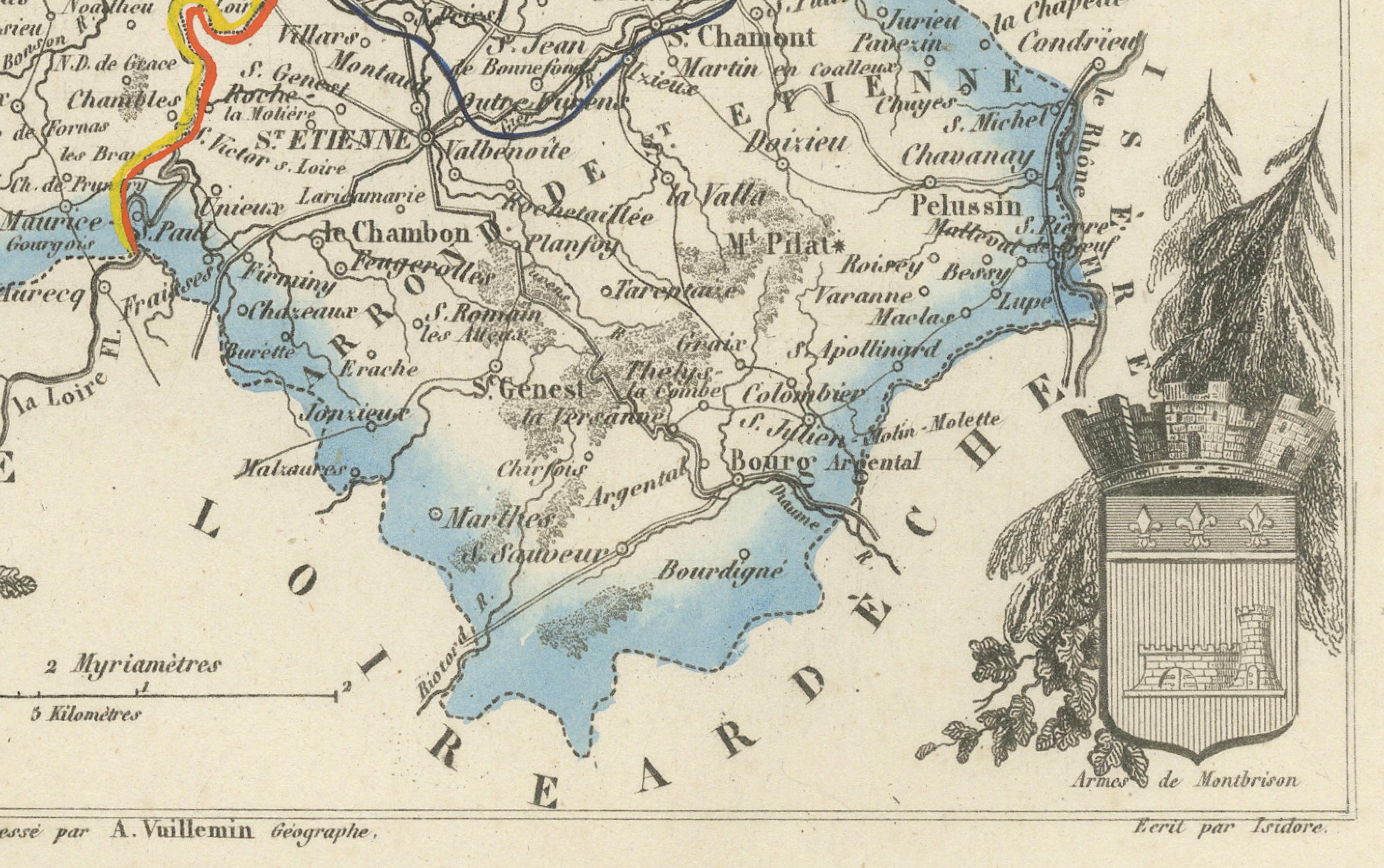
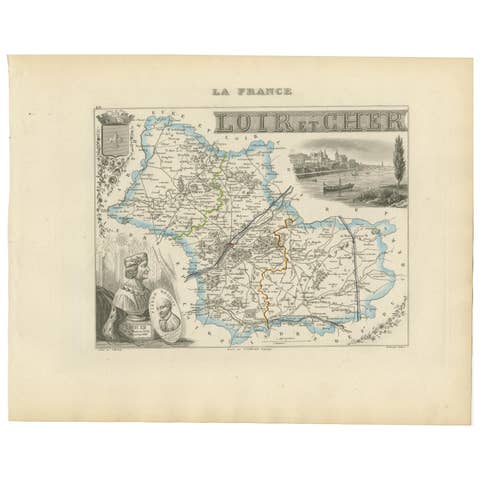
This beautifully engraved and hand-colored map of the department of Loire in east-central France is from the Nouvel Atlas Illustré by Alexandre Vuillemin, published in the mid-19th century by Migeon in Paris. Combining precise cartographic detail with fine decorative embellishment, this map offers both historical and aesthetic value.
The map covers the full extent of the Loire department, situated in the historical province of Forez, now part of the Auvergne-Rhône-Alpes region. Roads, rivers, towns, and borders are carefully engraved and hand-tinted with a pale blue wash that highlights the department’s boundary. Notable towns such as Saint-Étienne, Roanne, and Montbrison are clearly marked, along with smaller villages and the surrounding mountain ranges.
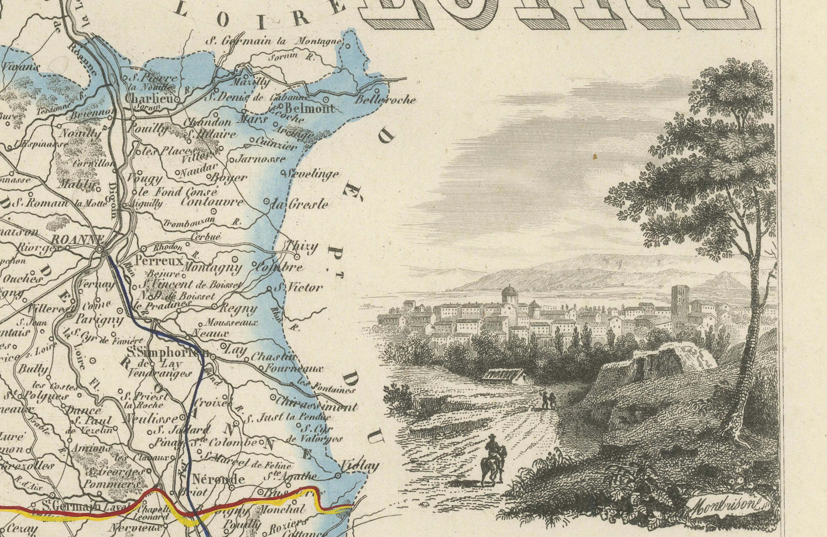
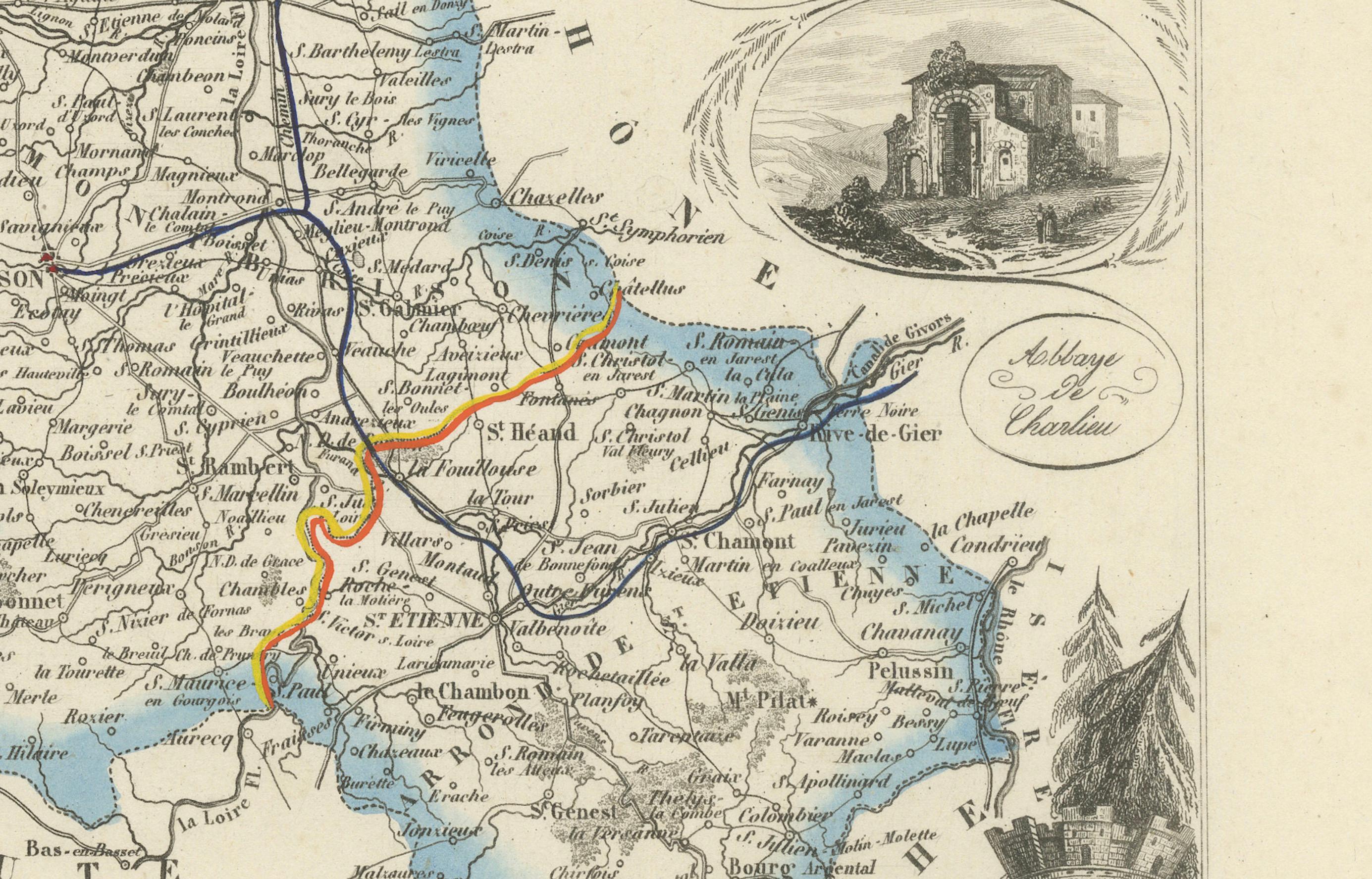
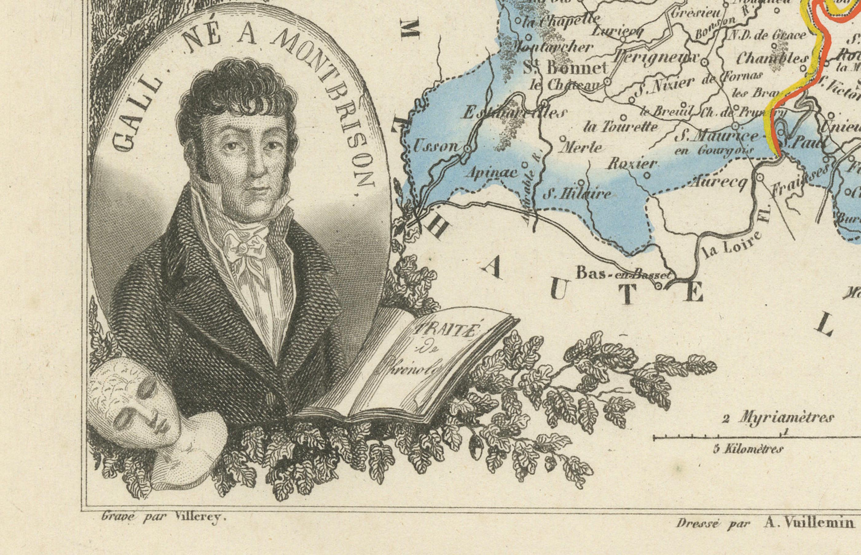
In the lower left is a portrait of the celebrated poet and dramatist Jean-Baptiste Gallet, born in Montbrison, symbolizing the literary heritage of the region. The right side of the map is richly adorned with engraved vignettes: one of a rural hilltop chapel and another sweeping view of the landscape with a town in the background, offering a picturesque impression of the region’s topography and architecture.
The Loire department is not part of the more famous Loire Valley wine-producing region to the west, but it does have a smaller, respected wine appellation: Côte Roannaise AOC, located near the northern border of the department. This area produces fresh, light-bodied red wines predominantly from the Gamay grape, similar in style to Beaujolais. These wines are increasingly appreciated for their authenticity and food-friendly profile. The nearby Côtes du Forez and IGP Urfé also contribute to the local wine culture, making the department a lesser-known but emerging wine destination in France.
Alexandre Vuillemin, the engraver, was a distinguished 19th-century French cartographer who excelled in combining detailed geography with cultural, historical, and artistic references. His work for Migeon in the *Nouvel Atlas Illustré* reflects the ambition to educate and visually engage a broad public audience.
Condition summary:
Very good condition. Mild age toning around the edges with a few faint spots in the margins. Engraved lines are sharp, and the hand-coloring is bright and well-preserved.
Framing tips:
This map pairs beautifully with a classic maple or gold-trimmed frame. Use a warm ivory or pale blue mat to complement the hand-colored border. A museum-quality glass is recommended to preserve the fine details and original color over time.
Notable Locations Featured on the Map of Loire (France):
This 19th-century engraved map by Alexandre Vuillemin includes a wealth of geographic detail from the department of Loire. Below are 50 of the most prominent towns, communes, and landmarks shown, offering insight into the region’s historical, economic, and cultural landscape:
1. Saint-Étienne – Prefectural capital and industrial center
2. Roanne – Northern subprefecture and river port
3. Montbrison – Former historic capital of Forez
4. Firminy – Industrialized commune near Saint-Étienne
5. Rive-de-Gier – Canal and coal region
6. Feurs – Market town on the Loire River
7. Boën – Viticultural center in the Forez hills
8. Saint-Chamond – Important industrial town
9. Andrézieux-Bouthéon – Loire river confluence hub
10. La Ricamarie – Mining town near Firminy
11. Le Chambon-Feugerolles – Industrial village in the Gier valley
12. Saint-Just-Saint-Rambert – Dual commune on the Loire
13. Saint-Galmier – Famous for Badoit mineral water
14. Chazelles-sur-Lyon – Hat-making heritage
15. Balbigny – Crossing point on the Loire
16. Noirétable – Mountain commune to the northwest
17. Sail-sous-Couzan – Historic village with medieval remains
18. Panissières – Rural town in the Monts du Lyonnais
19. Montrond-les-Bains – Spa town with thermal springs
20. Veauche – Residential commune in the plain
21. Saint-Bonnet-le-Château – Noted for its hilltop church
22. Champdieu – Romanesque priory village
23. Sury-le-Comtal – Agricultural and historical town
24. Saint-Héand – Situated in the Pilat foothills
25. Boisset-lès-Montrond – Central plain commune
26. Saint-Jean-Soleymieux – Rural village
27. Saint-Maurice-en-Gourgois – Elevated position above the Loire
28. Margerie-Chantagret – Featured in one of the vignettes
29. Luriecq – Part of the Monts du Forez
30. Unieux – Close to Firminy, mining and metallurgy
31. Saint-Paul-en-Jarez – On the Rhône border
32. Cleppé – Southeast of Feurs
33. Pouilly-sous-Charlieu – On the northern edge
34. Saint-Romain-le-Puy – Priory and volcanic hill
35. Saint-Marcellin-en-Forez – Fortified medieval site
36. Périgneux – Between Saint-Marcellin and Montbrison
37. Saint-Didier-sur-Rochefort – Eastern Forez
38. Saint-Germain-Laval – On a major historical route
39. Saint-Étienne-le-Molard – Between Feurs and Boën
40. Essertines-en-Donzy – East of Montbrison
41. Violay – On the...