About this sheet
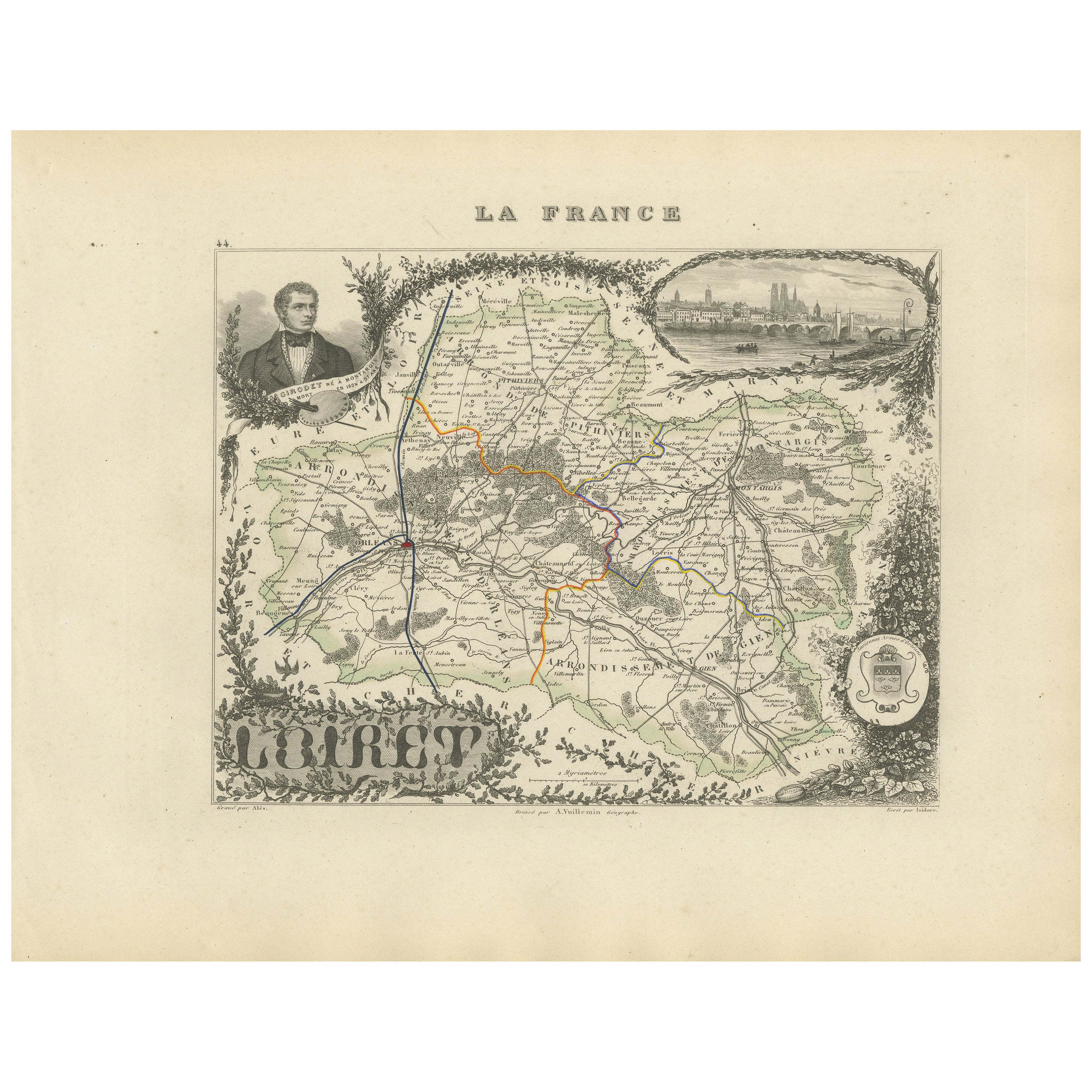
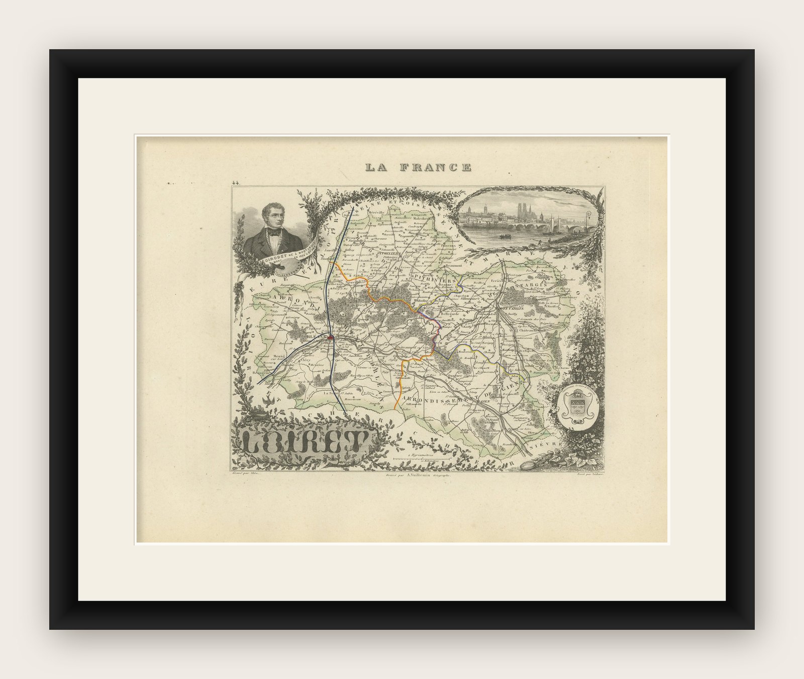
Map of Loiret France with Orléans and Loire River by Vuillemin, 19th c
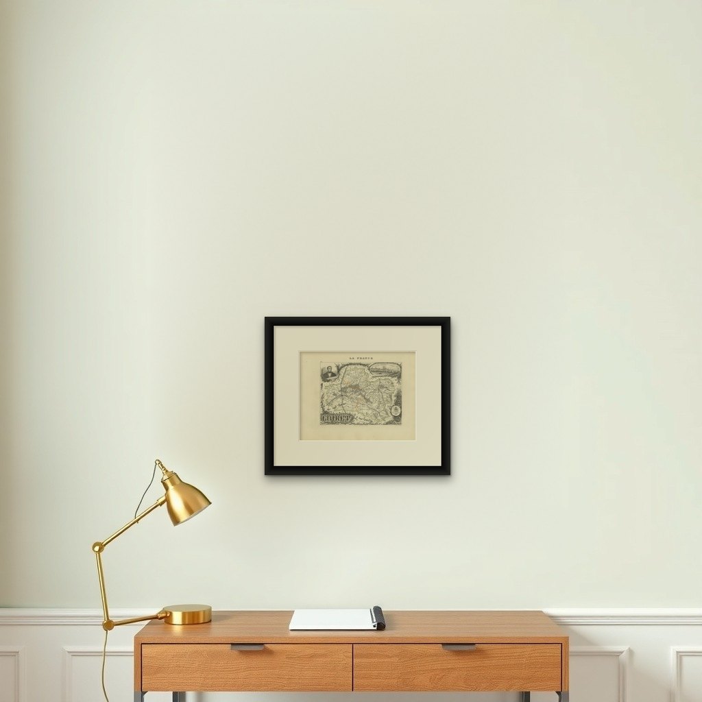
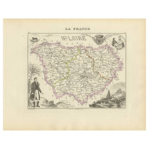
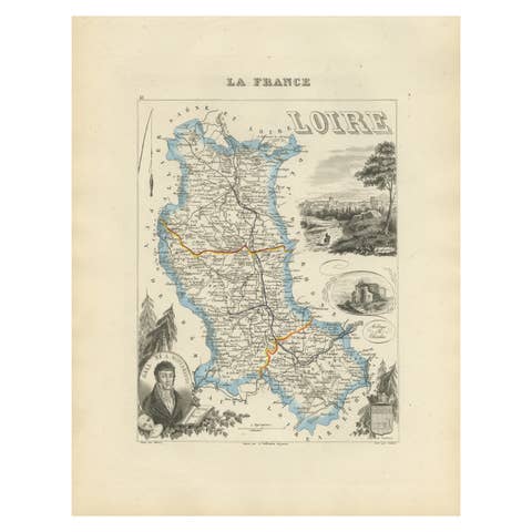
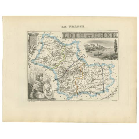
This antique hand-colored map of the Loiret department, engraved by Alexandre Vuillemin and published by Migeon in the mid-19th century, is part of the renowned Nouvel Atlas Illustré des Départements et des Colonies. Both a geographic document and a decorative piece, this map showcases the region’s detailed topography, cultural history, and political divisions during the 1800s.
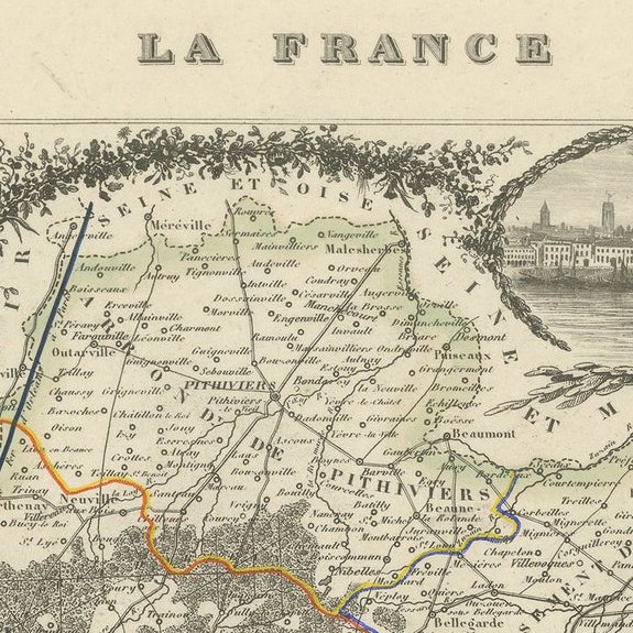
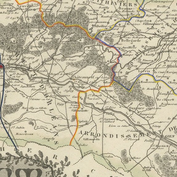
At the heart of the map is the city of Orléans, the prefecture of Loiret and one of France’s most historically significant cities, located on the banks of the Loire River. The map depicts the river's meandering course and highlights the surrounding communes, roads, rail lines, and departmental borders, delicately outlined in green. Several rivers, including the Loiret, Loing, and Essonne, are also marked, as are forests and agricultural zones.
The upper right vignette offers a finely rendered panoramic view of Orléans, complete with the towers of Orléans Cathedral and the city’s famous bridge crossing the Loire. In the upper left is a portrait of the painter Girodet de Roucy-Trioson, a native of Montargis, whose work bridges the neoclassical and romantic movements. The lower right contains the departmental coat of arms, framed with botanical ornamentation.
Loiret is part of the Loire Valley, a UNESCO-listed region celebrated for its châteaux and wine production. While better known for white wines to the west, Loiret itself produces several regional wines including Orléans AOC and Orléans-Cléry AOC, with reds based on Pinot Meunier and Cabernet Franc. Vineyards around Meung-sur-Loire, Mareau-aux-Prés, and Cléry-Saint-André remain active, continuing a tradition that stretches back to medieval times.
Alexandre Vuillemin (1812–1880) was a respected cartographer whose maps are prized for their fine engraving, clarity, and the integration of historical and artistic detail. His maps for Migeon’s atlas series combine cartographic accuracy with visual storytelling, making them both educational tools and decorative objects.
Condition summary:
Very good antique condition with light toning at the edges and faint foxing in the margins. Plate imprint strong, original color fresh and intact.
Framing tips:
Frame in a traditional gold or black wood frame. Use a light beige or soft gray mat to enhance the engraving and green border tones. UV-protective glass is recommended for preserving the color and fine linework.
Key Locations Featured on the Map of Loiret: