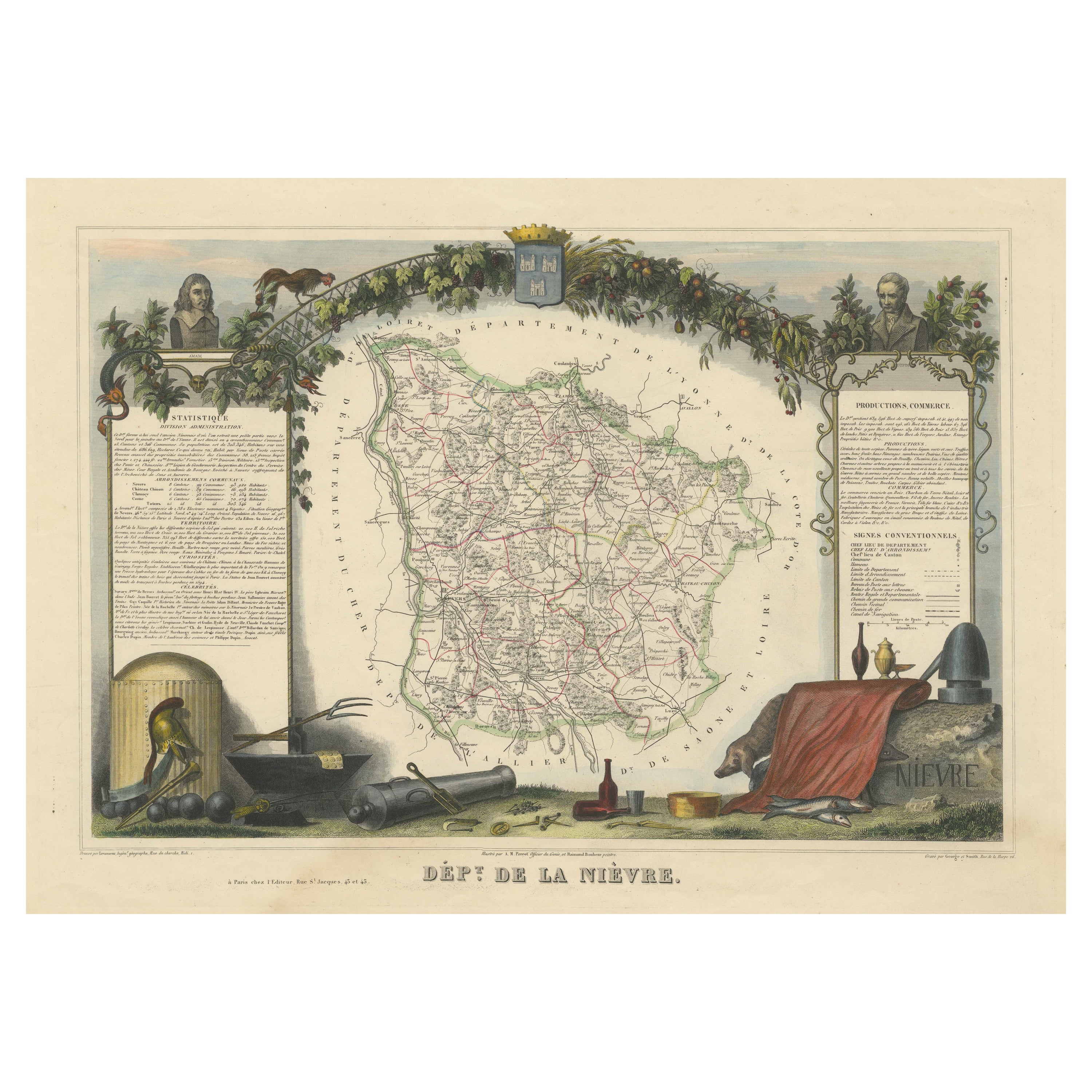

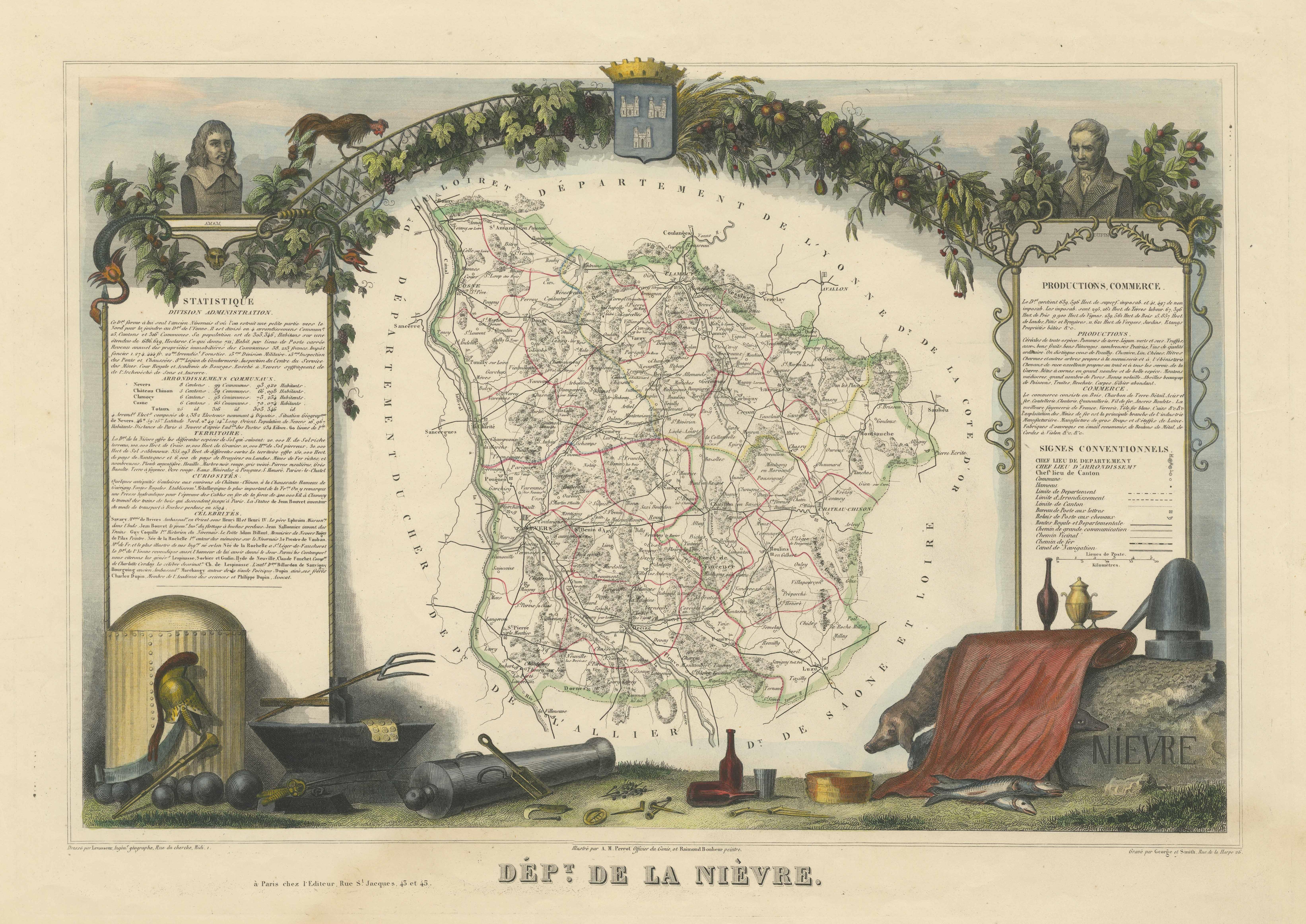
Old Map of the French Department of Nièvre, France
€ 340
One of a kind: this is the sheet in the photographs. Ships from Langweer, the Netherlands.
Mapmaker / artist
Victor Levasseur
Sheet size
36.5 × 51.7 cm (14.4 × 20.4 in)
Condition
Good
Reference
BG-13216-21
Condition
Wear consistent with age and use. General age-related toning. Shows some wear and soiling, blank verso. Few small tears/splits in margins. Please study images carefully.
About this sheet
Antique map titled 'Dept. de la Nièvre'. Map of the French department of Nievre, France. Part of the prestiegous Burgundy or Bourgogne wine region this area is known for its production of Pouilly Fumé, a white wine. The word “fumé” is French for “smoke,” and it is said the name comes from the smoky quality of these wines. The map is surrounded by elaborate decorative engravings designed to illustrate both the natural beauty and trade richness of the land. There is a short textual history of the regions depicted on both the left and right sides of the map.
This map originates from 'Atlas National de la France Illustree' published by V. Levasseur, circa 1852.
Victor Levasseur (1800–1870) was a French cartographer widely known for his distinctive decorative style. He produced numerous maps more admired for the artistic content of the scenes and data surrounding the map than for the detail of the map. Victor Levasseur's "Atlas National Illustré" and "Atlas Universel Illustré" are among the last great decorative atlases published.