Newfoundland and St. Pierre & Miquelon: Early 19th Century French Map
€ 160
Original antique · The actual sheet photographed · Certificate of authenticity on request · Sold unframed · Worldwide shipping from € 15 (rates)
Sheet size
24 × 31.5 cm (9.4 × 12.4 in)
Reference
BG-13093-23
What the condition grades mean
Excellent
Bright and clean, with no faults worth mentioning.
Very good
Only light signs of age, such as faint toning.
Good
Normal signs of age for a sheet of this period: toning, some foxing, small marks or neat old repairs.
Fair
Clear faults such as staining, tears or repairs, priced to match.
Every fault we see is written in the condition note, and the whole sheet is shown uncropped in the photos.
Condition
Good, given age. Some creasing. General age-related toning and/or occasional minor defects from handling. Please study scan carefully.
About this sheet
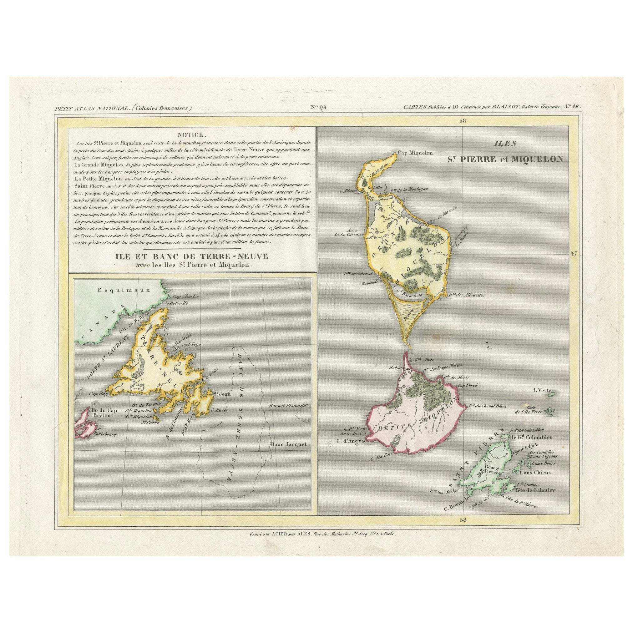
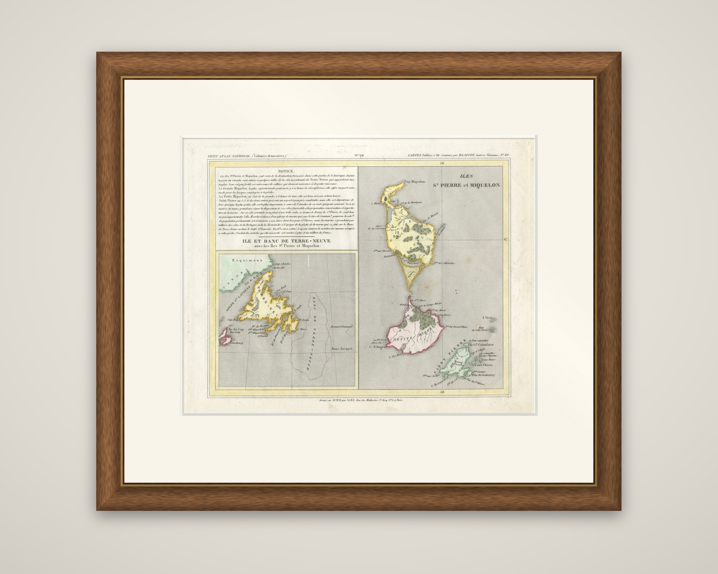
Newfoundland and the French islands of Saint-Pierre and Miquelon on a single engraved sheet from the Petit Atlas National (Colonies françaises), titled "Île et Banc de Terre-Neuve avec les Îles St.Pierre et Miquelon". The imprint reads "Cartes publiées à 10 centimes par Blaisot, galerie Vivienne" and, at the foot, "Gravé sur acier par Alès, rue des Mathurins, à Paris". The map is an original steel engraving with hand-colored outlines.
The lower left panel shows the island of Newfoundland (Terre-Neuve) in yellow, with its French place names along the coast and the Gulf of St. Lawrence ("Golfe St. Laurent") to the west. The region of Labrador is labeled "Esquimaux" and "Canada", and Cape Breton Island appears at the bottom left in pink. The southeastern waters are marked as the "Banc de Terre-Neuve", the Grand Banks. Large panels at the right enlarge the French islands: Miquelon at the top, Petite Miquelon in pink, and Saint-Pierre in green at the foot, each with its capes, bays and anchorages named.
A printed "Notice" in the upper left explains that these islands were the only French possession left in this part of America after the loss of Canada, and describes the cod fishery that drew sailors from Brittany and Normandy. The figures it cites for 1833 show that the sheet dates from after that year.